2020s Maps of Butler County, Alabama
Explore 40 historic maps of Butler County from the 2020s. These maps offer a rare glimpse into what life looked like during the 2020s — showing old roads, neighborhoods, homes, and landmarks that have changed or disappeared over time.
Whether you're researching your family's past, planning a metal detecting trip, or studying how Butler County's landscape evolved across the 2020s, these high-resolution maps are a powerful tool for exploring the history of this region.
- Focus on a specific era: All maps on this page are from the 2020s, giving you a focused view of this time period.
- See what’s changed: Compare century-old streets, trails, and buildings to today's modern landscape using overlays and satellite layers.
- Research with precision: Use these maps for genealogy, historical research, land use analysis, or educational projects.
- View, download, or print: Maps are fully viewable online in high resolution, and can be downloaded or printed for your own records.
Start exploring Butler County's history through authentic maps from the 2020s. This is your window into the past.
Butler County, AL maps
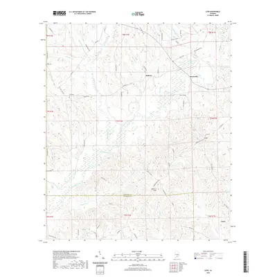
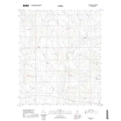
(40)- 2020 Map of Forest Home, 2020 Print
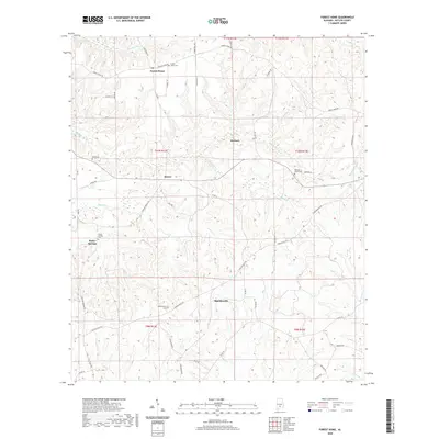 2020 Forest Home2020 Print · USGSCovers Butler County, including Herbert, Saucer, and other nearby areas
 - 2020 Map of Lyeffion, 2020 Print
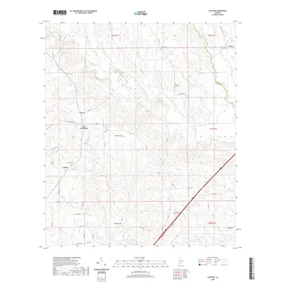 2020 Lyeffion2020 Print · USGSCovers Butler County, including Grace, Cooks Crossroads, and other nearby areas
 - 2020 Map of Pine Apple North, 2020 Print
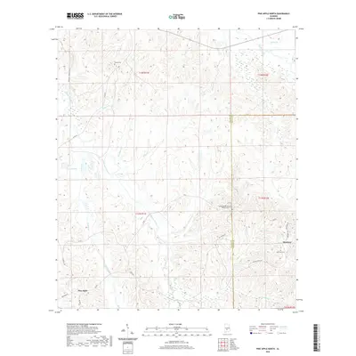 2020 Pine Apple North2020 Print · USGSCovers Butler County, including Pine Apple, Monterey, and other nearby areas
 - 2020 Map of Greenville East, 2020 Print
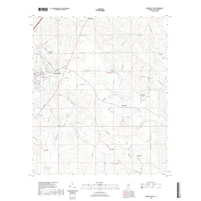 2020 Greenville East2020 Print · USGSCovers Butler County, including Greenville, Mashville, and other nearby areas
 - 2020 Map of Fort Dale, 2020 Print
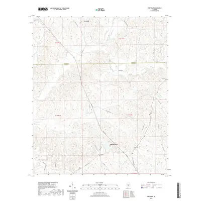 2020 Fort Dale2020 Print · USGSCovers Butler County, including Greenville, Clover Hill, and other nearby areas
 - 2020 Map of Georgiana East, 2020 Print
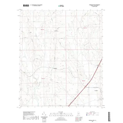
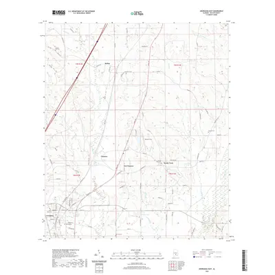 2020 Georgiana East2020 Print · USGSCovers Butler County, including Georgiana, Bolling, and other nearby areas
 - 2020 Map of Bethel, 2020 Print
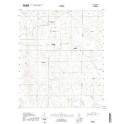 2020 Bethel2020 Print · USGSCovers Butler County, including Commerce, Mixonville, and other nearby areas
 - 2020 Map of Danielsville, 2020 Print
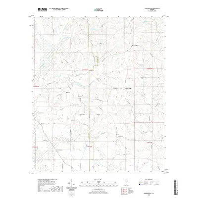
 2020 Danielsville2020 Print · USGSCovers Butler County, including Danielville, Logan, and other nearby areas
 - 2020 Map of Leon, 2020 Print
 2020 Leon2020 Print · USGSCovers Butler County, including Dozier, Merrill Mill, and other nearby areas
 - 2020 Map of Moodys Crossroads, 2020 Print
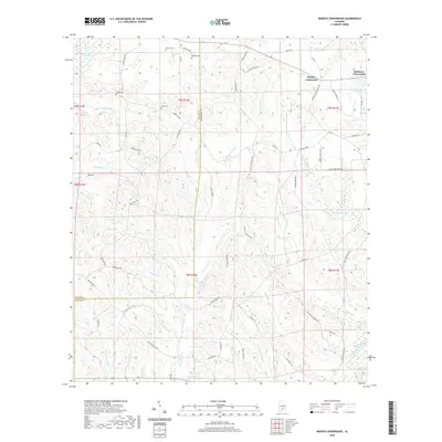 2020 Moodys Crossroads2020 Print · USGSCovers Butler County, including Robinson Crossroads, Moodys Crossroads, and other nearby areas
 - 2020 Map of Ridgeville, 2020 Print
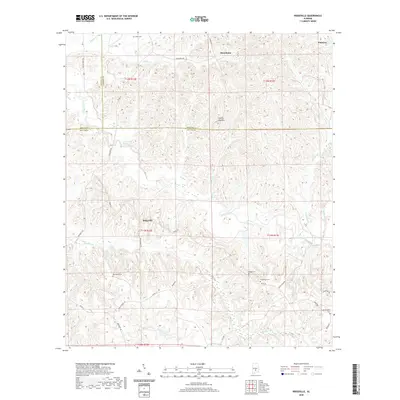 2020 Ridgeville2020 Print · USGSCovers Butler County, including Macedonia, Palmyra, and other nearby areas
 - 2020 Map of Georgiana West, 2020 Print
 2020 Georgiana West2020 Print · USGSCovers Butler County, including Georgiana, Providence, and other nearby areas
 - 2020 Map of Pigeon Creek, 2020 Print
 2020 Pigeon Creek2020 Print · USGSCovers Butler County, including Pigeon Creek, Halso Mill, and other nearby areas
 - 2020 Map of Greenville West, 2020 Print
 2020 Greenville West2020 Print · USGSCovers Butler County, including Greenville, Wald, and other nearby areas
 - 2020 Map of McKenzie, 2020 Print
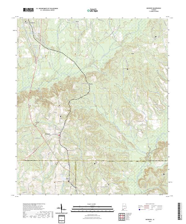
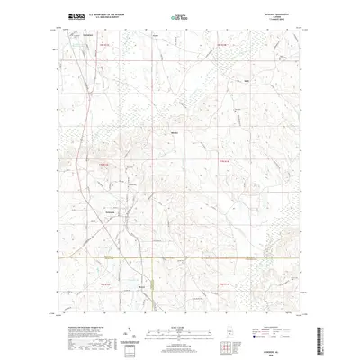 2020 McKenzie2020 Print · USGSCovers Butler County, including Georgiana, McKenzie, and other nearby areas
 - 2020 Map of Industry, 2020 Print
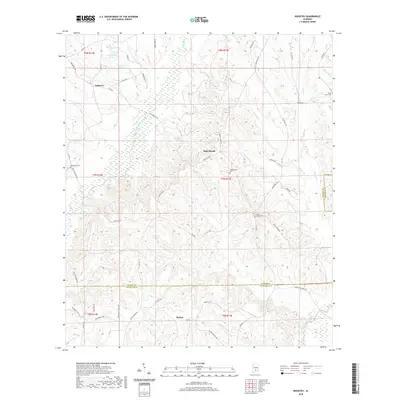 2020 Industry2020 Print · USGSCovers Butler County, including Boykin, Industry, and other nearby areas
 - 2020 Map of Pine Apple South, 2020 Print
 2020 Pine Apple South2020 Print · USGSCovers Butler County, including Pine Apple, Awin, and other nearby areas
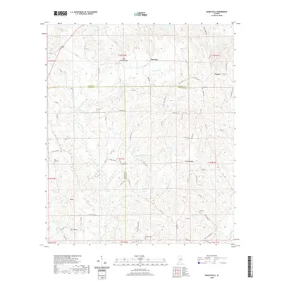
 - 2020 Map of Honoraville, 2020 Print
 2020 Honoraville2020 Print · USGSCovers Butler County, including Midway, Center Ridge, and other nearby areas
 - 2020 Map of Fort Deposit, 2020 Print
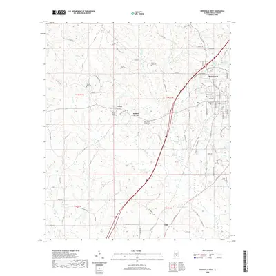
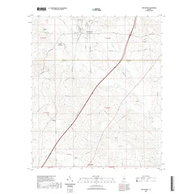 2020 Fort Deposit2020 Print · USGSCovers Butler County, including Fort Deposit, Searcy, and other nearby areas
 - 2020 Map of Garland, 2020 Print
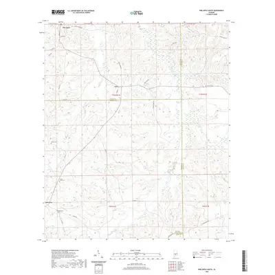
 2020 Garland2020 Print · USGSCovers Butler County, including Georgiana, Garland, and other nearby areas
 - 2024 Map of McKenzie, 2024 Print
 2024 McKenzie2024 Print · USGSMcKenzie and Georgiana stand at the center of this rural Alabama landscape where three counties converge. Genealogists can trace family roots through several local landmarks like South Butler Cem, Wesley Chapel Cem, and Sweet Home Baptist Church.
 - 2024 Map of Pine Apple North, 2024 Print
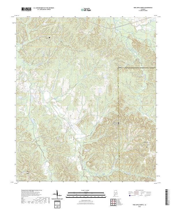 2024 Pine Apple North2024 Print · USGSWilcox County is documented here in its contemporary rural state, showing the persistent settlement patterns of south Alabama. Researchers can locate family landmarks such as Mount Moriah Fellowship Baptist Church Cem, Palmer Cem, and the community of Monterey.
 - 2024 Map of Leon, 2024 Print
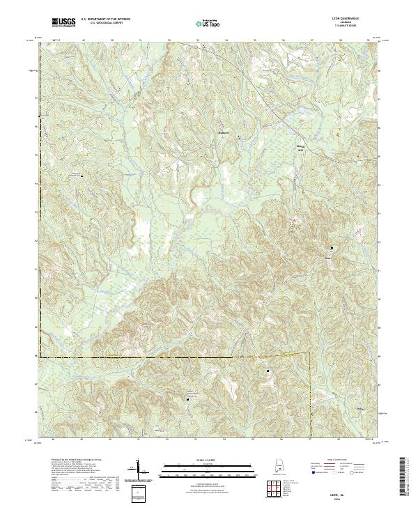 2024 Leon2024 Print · USGSCrenshaw and Covington counties are captured here in the early twenty-first century, showing a landscape shaped by the waters of Patsaliga Creek. Researchers can trace local heritage through landmarks like Merrill Mill and several family-named burial grounds including Saint Lukes Cem.
 - 2024 Map of Danielsville, 2024 Print
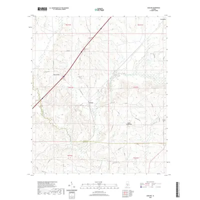
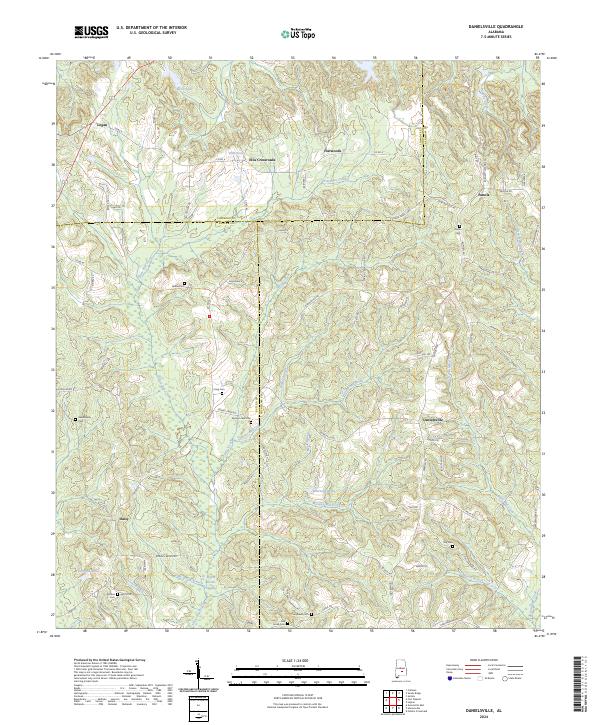 2024 Danielsville2024 Print · USGSThe tri-county borderlands of Lowndes, Butler, and Crenshaw counties are captured here in the early twenty-first century. Genealogists and local historians can trace family locations through numerous rural burial grounds like King Cem and Spring Creek Cem, or the small settlements of Danielsville and Panola.
 - 2024 Map of Pigeon Creek, 2024 Print
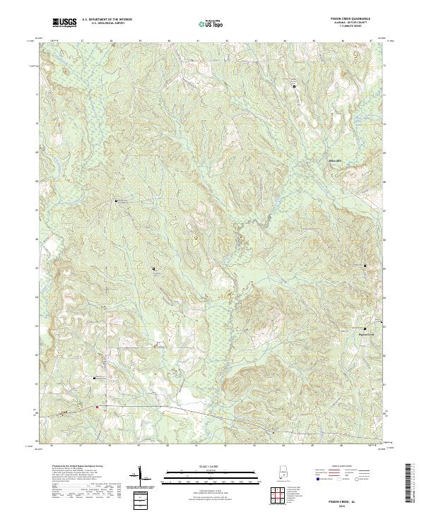 2024 Pigeon Creek2024 Print · USGSButler County's rural interior is captured in this recent survey, showing the evolving settlement patterns near the Pigeon Creek Swamp. Researchers can trace local history through a high density of burial grounds including Mount Pleasant Cem and Shiloh Cem.
Showing maps 1-25 of 40
Top cities of Butler County
Frequently asked questions
- What are the different types of historical maps available for Butler County?
- What is the oldest map of Butler County?
- Where can I purchase historical maps of Butler County for my home or office?
- Where can I download high-res historical maps of Butler County?
- Are there historical topographic maps available for Butler County?
- Is there historical aerial imagery available for Butler County?
- Where are historical maps of Butler County sourced from?