Old Maps of Okatuppa, Alabama for Hiking & Exploration
Hike through history with 11 historic maps of Okatuppa. Explore old trails, ghost towns, and forgotten backroads — perfect for outdoor adventurers and local explorers.
- Rediscover forgotten places: Map out old mining camps, roads, and footpaths that no longer exist on modern maps.
- Layer with modern tools: Combine with LiDAR or satellite views to plan hikes through historical terrain.
- Made for exploration: Popular among hikers, overlanders, and local history lovers.
Use these maps to find adventure and explore the hidden past of Okatuppa.
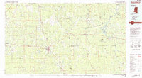
Okatuppa, AL maps
(11)- 1953 Map of Hattiesburg, 1965 Print
 1953 Hattiesburg1965 Print · USGSSouth Mississippi and western Alabama are shown here during the mid-twentieth century as the timber and rail industries shaped the region. Genealogists and historians can trace rail lines like the Mississippi Central and locate rural centers such as Magee, Richton, and Mount Vernon.4 unique versions available
 - 1958 Map of Hattiesburg
 1958 Hattiesburg1958 Print · USGSSoutheastern Mississippi's timber and rail networks are at their peak during the late fifties, centered on the growing hubs of Hattiesburg and Laurel. Researchers can trace old family landmarks like Sims Chapel, the Busbey Game Refuge, and the vanished stops along the Mississippi Central railroad.2 unique versions available
 - 1974 Map of Melvin, 1977 Print
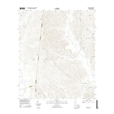
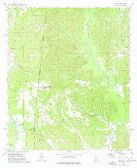 1974 Melvin1977 Print · USGSThe Alabama and Mississippi borderlands come to life in the mid-1970s, showing a landscape defined by old treaty lines and early oil exploration. Genealogists can trace family names at Zion Chapel Cem, Stroud Cem, and rural settlements like Melvin and Eiler.
 - 1978 Map of Melvin, 1987 Print
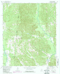 1978 Melvin1987 Print · USGSThe Alabama-Mississippi borderlands come to life in the 1970s, showcasing a landscape defined by traditional rural settlements and early oil exploration. Genealogists can trace family landmarks like Zion Chapel Cem and Donald Ch near the historic Old Indian Treaty Boundary.
 - 1984 Map of Hattiesburg
 1984 Hattiesburg1984 Print · USGSSouth Mississippi’s Pine Belt is seen here in the mid-eighties, showing the region as a hub of timber production and petroleum extraction. Trace the rail lines of the Illinois Central Gulf RR through old settlements like Richton or the energy developments at the Heidelberg Oil Field.2 unique versions available
 - 1984 Map of Waynesboro
 1984 Waynesboro1984 Print · USGSThe borderlands of Mississippi and Alabama come alive in this mid-eighties survey of timber and river country. Researchers can trace the Illinois Central Gulf Railroad corridor through Waynesboro and Shubuta, or locate remote lookouts like Maynor Creek Lookout.2 unique versions available
 - 2011 Map of Melvin, 2011 Print
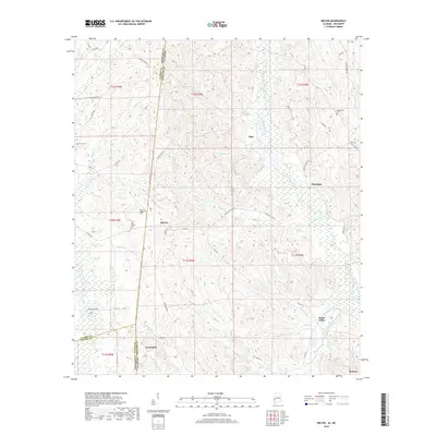
 2011 Melvin2011 Print · USGSCovers Okatuppa, including Evansboro, Melvin, and other nearby areas
 - 2014 Map of Melvin, 2014 Print
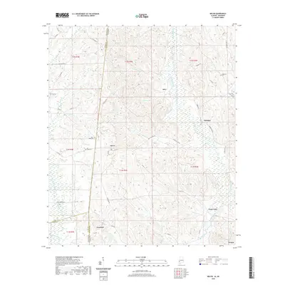
 2014 Melvin2014 Print · USGSCovers Okatuppa, including Evansboro, Melvin, and other nearby areas
 - 2018 Map of Melvin, 2018 Print
 2018 Melvin2018 Print · USGSCovers Okatuppa, including Evansboro, Melvin, and other nearby areas
 - 2020 Map of Melvin, 2020 Print
 2020 Melvin2020 Print · USGSCovers Okatuppa, including Evansboro, Melvin, and other nearby areas
 - 2024 Map of Melvin, 2024 Print
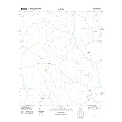
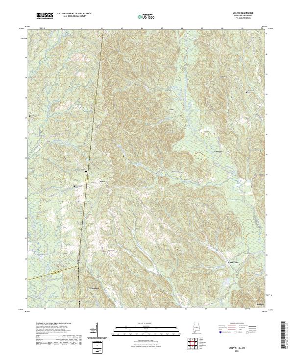 2024 Melvin2024 Print · USGSThe Alabama-Mississippi borderlands come into focus in this contemporary survey of the rural Choctaw County interior. Researchers can trace family roots at Mount Pisgah Cem, find the old community of Eiler, or follow the winding Okatuppa Creek.
End of results
Showing maps 1-11 of 11
Top cities near Okatuppa
- Butler historical maps
- Gilbertown historical maps
- Lisman historical maps
- Silas historical maps
- Toxey historical maps
- Needham historical maps
Frequently asked questions
- What are the different types of historical maps available for Okatuppa?
- What is the oldest map of Okatuppa?
- Where can I purchase historical maps of Okatuppa for my home or office?
- Where can I download high-res historical maps of Okatuppa?
- Are there historical topographic maps available for Okatuppa?
- Is there historical aerial imagery available for Okatuppa?
- Where are historical maps of Okatuppa sourced from?