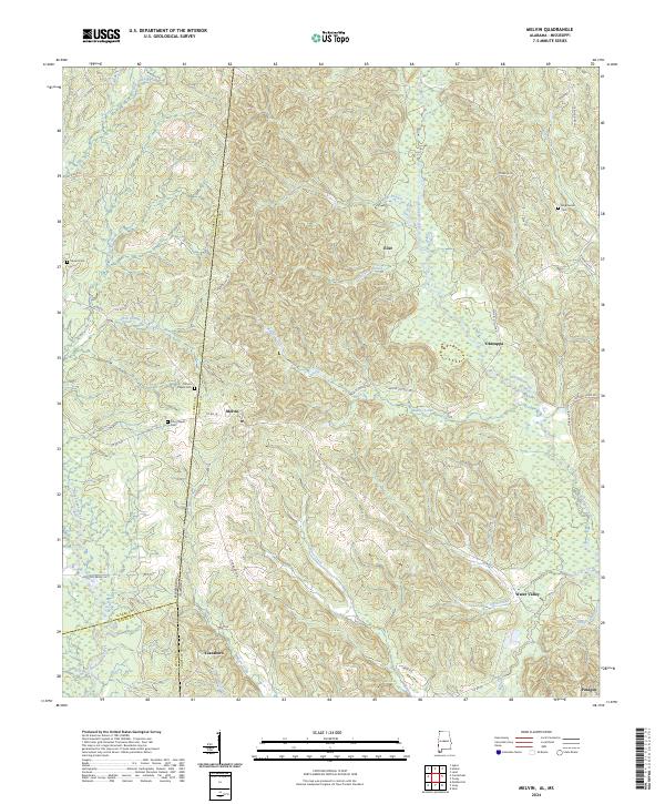
2024 Map of Melvin
USGS Topo · Published 2024About this map
Melvin and Water Valley anchor this landscape along the Alabama-Mississippi state line, where the headwaters of Buckatunna Creek and Okatuppa Creek drain a complex network of ridges. This 2024 survey documents a deeply rural region characterized by small settlements and family burial grounds such as Stroud Cem and Brightwater Cem. The intricate creek systems, including Lamar Mill Creek and Puss Cuss Creek, dictate the winding paths of local routes like Co RD 14 and Melvin Cutoff Rd. The presence of several established cemeteries like Mount Pisgah Cem and Zion Chapel Cem indicates long-standing community hubs that persist despite the sparse modern development. Roadways such as Plantation Dr and Hurricane Rd provide access to the timberlands and homesteads that define the borderlands between Choctaw, Clarke, and Wayne counties.
Find a feature on this map
66 named features on this map. Tap any name to fly to it.
Don’t see what you’re looking for? This feature index may not catch every label — zoom into the map to look around manually.
Map Details
Editions of this 2024 Melvin Map
This is the sole edition of this map. No revisions or reprints were ever made.
Other maps of this area

1953 · Hattiesburg
USGS Topo · 1:250,000

1953 · Meridian
USGS Topo · 1:250,000

1957 · Meridian
USGS Topo · 1:250,000

1957 · Quitman
USGS Topo · 1:62,500

1958 · Hattiesburg
USGS Topo · 1:250,000

1964 · Carmichael
USGS Topo · 1:24,000

1964 · Matherville
USGS Topo · 1:24,000

1965 · Meridian
USGS Topo · 1:250,000

1974 · Melvin
USGS Topo · 1:24,000

1974 · Silas
USGS Topo · 1:24,000