Old Maps of Grove Hill, Alabama for Hiking & Exploration
Hike through history with 15 historic maps of Grove Hill. Explore old trails, ghost towns, and forgotten backroads — perfect for outdoor adventurers and local explorers.
- Rediscover forgotten places: Map out old mining camps, roads, and footpaths that no longer exist on modern maps.
- Layer with modern tools: Combine with LiDAR or satellite views to plan hikes through historical terrain.
- Made for exploration: Popular among hikers, overlanders, and local history lovers.
Use these maps to find adventure and explore the hidden past of Grove Hill.
Grove Hill, AL maps
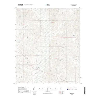
(15)- 1953 Map of Andalusia, 1965 Print
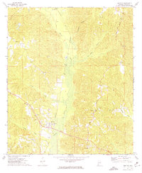
 1953 Andalusia1965 Print · USGSSouth Alabama in the mid-twentieth century remains a land of pine forests and river-fed settlements. You can trace the vital rail corridors of the Louisville & Nashville and locate regional centers such as Andalusia, Brewton, and Monroeville.3 unique versions available
 - 1957 Map of Andalusia
 1957 Andalusia1957 Print · USGSSouthern Alabama in the mid-1950s was a landscape defined by timbered stretches and the rhythmic flow of the Alabama River. Researchers can trace the legacy of the rail era through the Central of Georgia tracks and the storied river bluffs at Choctaw Bluff.
 - 1972 Map of Whatley, 1975 Print
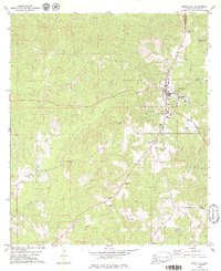
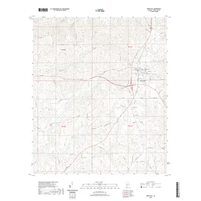
 1972 Whatley1975 Print · USGSClarke County's rural landscape is captured here in the early seventies, centered on the railroad community of Whatley. Researchers can trace family history at sites like Orange Hill Ch or locate the path of the Old Indian Treaty Boundary.
 - 1978 Map of Grove Hill, 1979 Print
 1978 Grove Hill1979 Print · USGSGrove Hill and the surrounding Clarke County countryside appear here in the late seventies as the town expands south and east. Genealogists and local historians can trace family locations through numerous sites like Smith Cem, Pine Chapel, and the Hollingsworth Cem.2 unique versions available
 - 1986 Map of Monroeville
 1986 Monroeville1986 Print · USGSMonroe and Clarke counties are captured here in the mid-eighties, centered on the river valleys of the Alabama River and Tombigbee River. Genealogists and local historians can trace legacy settlements like Burnt Corn, Whatley, and the river site of Claiborne.2 unique versions available
 - 2011 Map of Whatley, 2011 Print
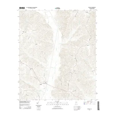
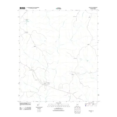 2011 Whatley2011 Print · USGSCovers Grove Hill, including Asbury, Vashti, and other nearby areas
 - 2011 Map of Grove Hill, 2011 Print
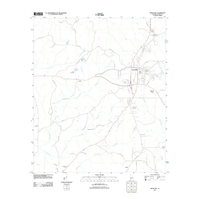 2011 Grove Hill2011 Print · USGSCovers Grove Hill, including Union, Clarke County, and other nearby areas
 - 2014 Map of Whatley, 2014 Print
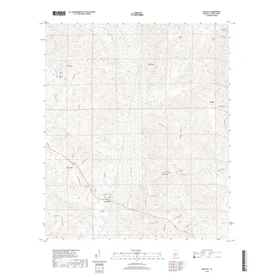
 2014 Whatley2014 Print · USGSCovers Grove Hill, including Asbury, Vashti, and other nearby areas
 - 2014 Map of Grove Hill, 2014 Print
 2014 Grove Hill2014 Print · USGSCovers Grove Hill, including Union, Clarke County, and other nearby areas
 - 2018 Map of Whatley, 2018 Print
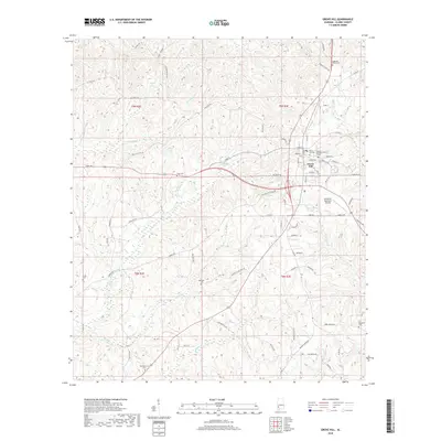
 2018 Whatley2018 Print · USGSCovers Grove Hill, including Asbury, Vashti, and other nearby areas
 - 2018 Map of Grove Hill, 2018 Print
 2018 Grove Hill2018 Print · USGSCovers Grove Hill, including Union, Clarke County, and other nearby areas
 - 2020 Map of Whatley, 2020 Print
 2020 Whatley2020 Print · USGSCovers Grove Hill, including Asbury, Vashti, and other nearby areas
 - 2020 Map of Grove Hill, 2020 Print
 2020 Grove Hill2020 Print · USGSCovers Grove Hill, including Union, Clarke County, and other nearby areas
 - 2024 Map of Grove Hill, 2024 Print
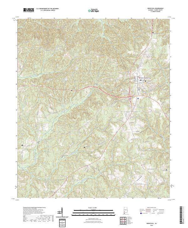 2024 Grove Hill2024 Print · USGSGrove Hill and the surrounding Clarke County countryside are documented here in the early twenty-first century. Genealogists can locate family landmarks like Mathews Cem and Pugh Cem or trace the civic heart of the town at the Clarke County Courthouse.
 - 2024 Map of Whatley, 2024 Print
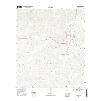
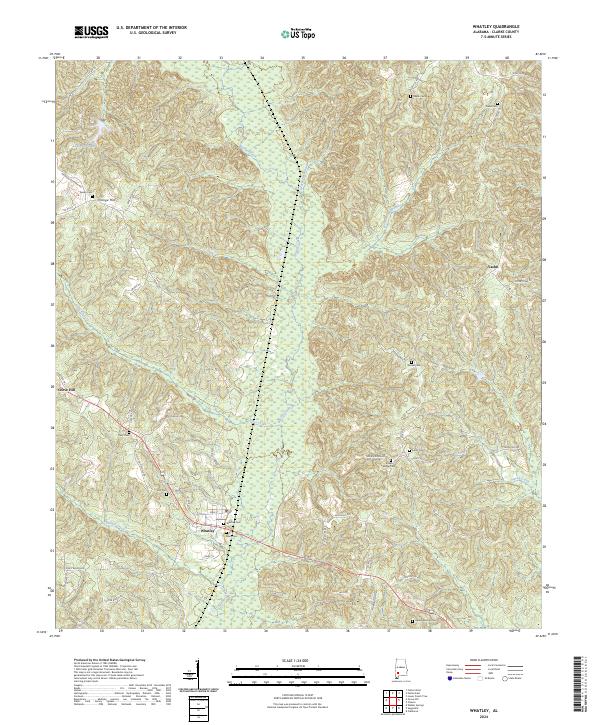 2024 Whatley2024 Print · USGSThe central Alabama landscape around the turn of the century evolved into this modern network of rural settlements. Researchers can trace family history at Whatley Cem, Salem Cem, and Indian Ridge Cem near the banks of Bassett Creek.
End of results
Showing maps 1-15 of 15
Top cities near Grove Hill
Frequently asked questions
- What are the different types of historical maps available for Grove Hill?
- What is the oldest map of Grove Hill?
- Where can I purchase historical maps of Grove Hill for my home or office?
- Where can I download high-res historical maps of Grove Hill?
- Are there historical topographic maps available for Grove Hill?
- Is there historical aerial imagery available for Grove Hill?
- Where are historical maps of Grove Hill sourced from?