Old Maps of Thomasville, Alabama
Explore 27 old maps of Thomasville, spanning from 1953 to today. These high-resolution historic maps reveal how streets, neighborhoods, landmarks, and natural features evolved over time — perfect for genealogy, metal detecting, research, and local history exploration.
What you can do with these maps:
- See how Thomasville changed over time: Compare historical maps to modern-day views to trace roads, homesites, rail lines & more.
- View detailed metadata: Each map includes creators, publishers, year, scale, and archive source.
- Overlay maps with satellite & LiDAR: Visualize the past alongside modern tools to explore terrain & human change.
- Trusted historical sources: Maps sourced from the USGS, Library of Congress, and other archives.
- Access maps your way: View online, download high-res files, or order prints for personal or research use.
Start exploring old maps of Thomasville to uncover forgotten places, hidden landmarks, and the deep history beneath your feet.
Thomasville, AL maps
(27)- 1953 Map of Andalusia, 1965 Print
 1953 Andalusia1965 Print · USGSSouth Alabama in the mid-twentieth century remains a land of pine forests and river-fed settlements. You can trace the vital rail corridors of the Louisville & Nashville and locate regional centers such as Andalusia, Brewton, and Monroeville.3 unique versions available
 - 1957 Map of Andalusia
 1957 Andalusia1957 Print · USGSSouthern Alabama in the mid-1950s was a landscape defined by timbered stretches and the rhythmic flow of the Alabama River. Researchers can trace the legacy of the rail era through the Central of Georgia tracks and the storied river bluffs at Choctaw Bluff.
 - 1973 Map of Fulton East, 1977 Print
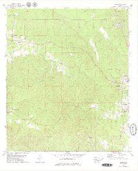
 1973 Fulton East1977 Print · USGSClarke County's rural timber and rail lands are shown here in the early seventies as the SOUTHERN railroad connected small communities. Genealogists and local historians can locate Henley Cem, Salem Ch Cem, and the historic OLD INDIAN TREATY BDY.
 - 1973 Map of Thomasville, 1977 Print
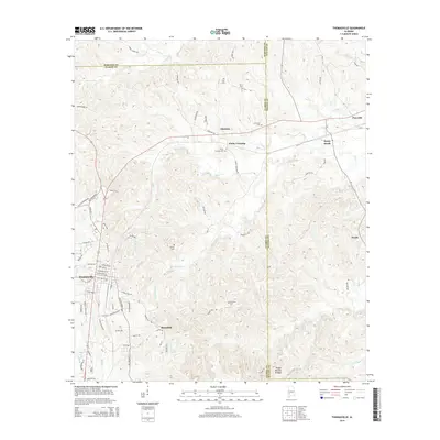
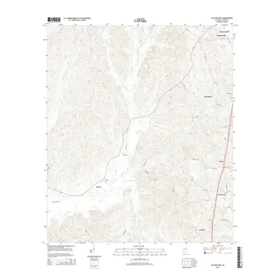
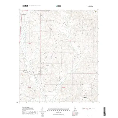
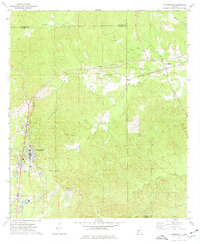 1973 Thomasville1977 Print · USGSThomasville and its surrounding rail-side communities are captured here in the early 1970s as the town expanded near the SOUTHERN line. Genealogists and historians can trace family roots through numerous sites like Finley Crossing, Danzy Cem, and the historic Old Indian Treaty Bdy.2 unique versions available
 - 1978 Map of Bashi, 1979 Print
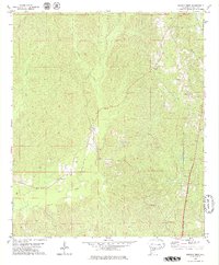
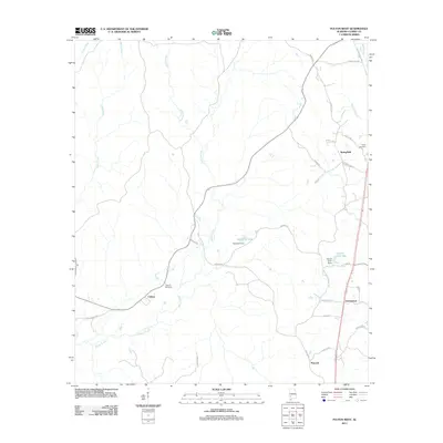
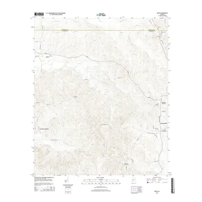
 1978 Bashi1979 Print · USGSThe border of Marengo and Clarke Counties is defined by the historical Old Indian Treaty Boundary in the 1970s. Researchers can trace rural life through sites like Tallahatta Springs, Glover, and Thomasville Academy.2 unique versions available
 - 1978 Map of Fulton West, 1979 Print
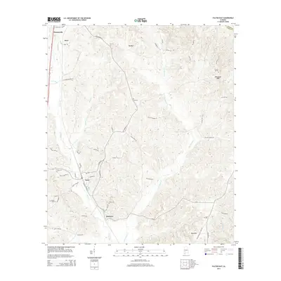
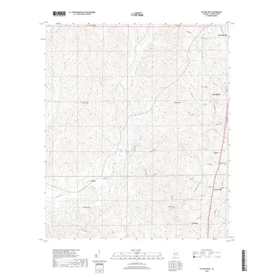
 1978 Fulton West1979 Print · USGSClarke County, Alabama, is documented here in the late 1970s as a landscape of rural settlements and winding creek valleys. Researchers can locate family landmarks like Smiths Cem and Kelley Cem or trace community roots at Springfield Ch and Chilton.2 unique versions available
 - 1986 Map of Monroeville
 1986 Monroeville1986 Print · USGSMonroe and Clarke counties are captured here in the mid-eighties, centered on the river valleys of the Alabama River and Tombigbee River. Genealogists and local historians can trace legacy settlements like Burnt Corn, Whatley, and the river site of Claiborne.2 unique versions available
 - 2011 Map of Fulton East, 2011 Print
 2011 Fulton East2011 Print · USGSCovers Thomasville, including Fulton, McWer, and other nearby areas
 - 2011 Map of Bashi, 2011 Print
 2011 Bashi2011 Print · USGSCovers Thomasville, including Bashi, Midway, and other nearby areas
 - 2011 Map of Thomasville, 2011 Print
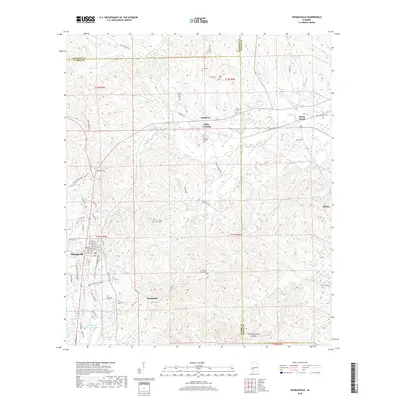
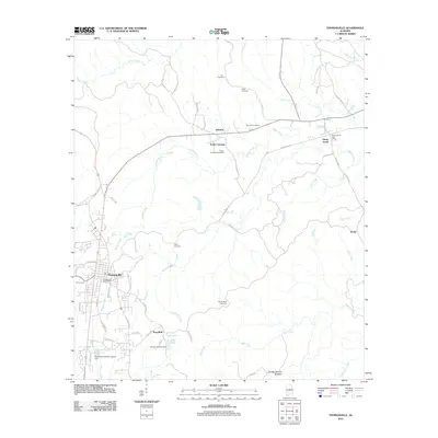 2011 Thomasville2011 Print · USGSCovers Thomasville, including Pine Hill, Sunny South, and other nearby areas
 - 2011 Map of Fulton West, 2011 Print
 2011 Fulton West2011 Print · USGSCovers Thomasville, including Fulton, Springfield, and other nearby areas
 - 2014 Map of Fulton East, 2014 Print
 2014 Fulton East2014 Print · USGSCovers Thomasville, including Fulton, McWer, and other nearby areas
 - 2014 Map of Thomasville, 2014 Print
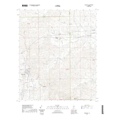
 2014 Thomasville2014 Print · USGSCovers Thomasville, including Pine Hill, Sunny South, and other nearby areas
 - 2014 Map of Fulton West, 2014 Print
 2014 Fulton West2014 Print · USGSCovers Thomasville, including Fulton, Springfield, and other nearby areas
 - 2014 Map of Bashi, 2014 Print
 2014 Bashi2014 Print · USGSCovers Thomasville, including Bashi, Midway, and other nearby areas
 - 2018 Map of Bashi, 2018 Print
 2018 Bashi2018 Print · USGSCovers Thomasville, including Bashi, Midway, and other nearby areas
 - 2018 Map of Fulton West, 2018 Print
 2018 Fulton West2018 Print · USGSCovers Thomasville, including Fulton, Springfield, and other nearby areas
 - 2018 Map of Fulton East, 2018 Print
 2018 Fulton East2018 Print · USGSCovers Thomasville, including Fulton, McWer, and other nearby areas
 - 2018 Map of Thomasville, 2018 Print
 2018 Thomasville2018 Print · USGSCovers Thomasville, including Pine Hill, Sunny South, and other nearby areas
 - 2020 Map of Thomasville, 2020 Print
 2020 Thomasville2020 Print · USGSCovers Thomasville, including Pine Hill, Sunny South, and other nearby areas
 - 2020 Map of Fulton West, 2020 Print
 2020 Fulton West2020 Print · USGSCovers Thomasville, including Fulton, Springfield, and other nearby areas
 - 2020 Map of Fulton East, 2020 Print
 2020 Fulton East2020 Print · USGSCovers Thomasville, including Fulton, McWer, and other nearby areas
 - 2020 Map of Bashi, 2020 Print
 2020 Bashi2020 Print · USGSCovers Thomasville, including Bashi, Midway, and other nearby areas
 - 2024 Map of Bashi, 2024 Print
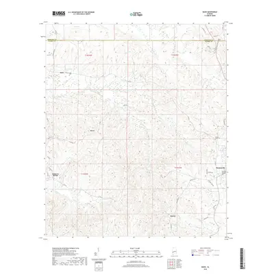
 2024 Bashi2024 Print · USGSThe rural interior of Clarke and Marengo Counties is documented here in the early twenty-first century. Genealogists and historians can trace family locations through several community burial sites like Bashi Cem and the settlement at Tallahatta Springs.
 - 2024 Map of Fulton West, 2024 Print
 2024 Fulton West2024 Print · USGSClarke County's rural heartland is meticulously detailed in this recent survey of the settlements surrounding Fulton. Researchers can trace family history through sites like Kelley Cem or follow the historic paths of Old Grove Hill Rd and Dummy Line Rd.
Showing maps 1-25 of 27
Top cities near Thomasville
- Grove Hill historical maps
- Pine Hill historical maps
- Sweet Water historical maps
- Fulton historical maps
Top neighborhoods of Thomasville
Frequently asked questions
- What are the different types of historical maps available for Thomasville?
- What is the oldest map of Thomasville?
- Where can I purchase historical maps of Thomasville for my home or office?
- Where can I download high-res historical maps of Thomasville?
- Are there historical topographic maps available for Thomasville?
- Is there historical aerial imagery available for Thomasville?
- Where are historical maps of Thomasville sourced from?