Old Maps of Sweet Water, Alabama
Explore 22 old maps of Sweet Water, spanning from 1953 to today. These high-resolution historic maps reveal how streets, neighborhoods, landmarks, and natural features evolved over time — perfect for genealogy, metal detecting, research, and local history exploration.
What you can do with these maps:
- See how Sweet Water changed over time: Compare historical maps to modern-day views to trace roads, homesites, rail lines & more.
- View detailed metadata: Each map includes creators, publishers, year, scale, and archive source.
- Overlay maps with satellite & LiDAR: Visualize the past alongside modern tools to explore terrain & human change.
- Trusted historical sources: Maps sourced from the USGS, Library of Congress, and other archives.
- Access maps your way: View online, download high-res files, or order prints for personal or research use.
Start exploring old maps of Sweet Water to uncover forgotten places, hidden landmarks, and the deep history beneath your feet.
Sweet Water, AL maps
(22)- 1953 Map of Montgomery, 1964 Print
 1953 Montgomery1964 Print · USGSCentral Alabama's river-and-rail corridor is mapped here in the mid-fifties, showing the vital connections between the capital and the Black Belt. Genealogists and historians can trace rail depots and crossroads from Marion Junction to Wetumpka, alongside landmarks like Craig AFB.4 unique versions available
 - 1956 Map of Montgomery
 1956 Montgomery1956 Print · USGSCentral Alabama in the mid-1950s shows a landscape defined by its great river systems and a booming military aviation presence. Genealogists and historians can trace the rail corridors of the Southern Railway and locate tactical bases like Maxwell AFB and Craig AFB.
 - 1957 Map of Montgomery
 1957 Montgomery1957 Print · USGSCentral Alabama in the mid-fifties is defined by the winding Alabama River and a strategic network of military bases and rail lines. Trace family roots in Montgomery and Selma, or locate landmarks like Craig AFB and the State Capitol before the interstate era.
 - 1978 Map of Sweet Water, 1979 Print
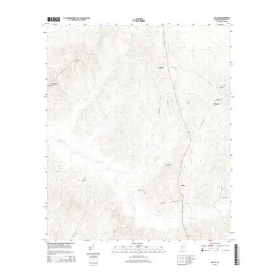
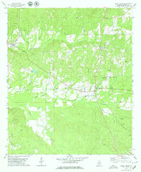 1978 Sweet Water1979 Print · USGSMarengo County remained a landscape of tight-knit rural communities and family landmarks in the late seventies. Researchers can trace ancestral roots through sites like Shiloh Ch, Pruitt Cem, and the old settlement at Dixons Mills.2 unique versions available
 - 1978 Map of Nanafalia, 1979 Print
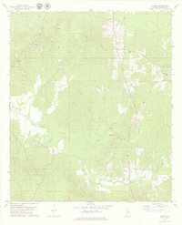
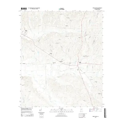
 1978 Nanafalia1979 Print · USGSThe community of Nanafalia and the surrounding Marengo County timberlands appear here in the late seventies. Family historians can trace rural roots through the St Paul Cem, Hickory Grove Cem, and the old church at Nicholsville.2 unique versions available
 - 1978 Map of Miller, 1979 Print
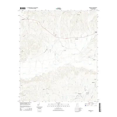
 1978 Miller1979 Print · USGSMarengo County, Alabama, is documented here in the late 1970s as a landscape of rural communities and intricate creek systems. Genealogists can locate family landmarks such as Rembert Cem, Campground Ch, and the small settlement of Octagon.
 - 1986 Map of Selma
 1986 Selma1986 Print · USGSCentral Alabama's river and rail networks are preserved here in the mid-eighties, showing the transition from river travel to modern infrastructure. Researchers can trace the layout of Selma, the historic capital at Cahaba, and the Millers Ferry Lock and Dam.2 unique versions available
 - 2011 Map of Sweet Water, 2011 Print
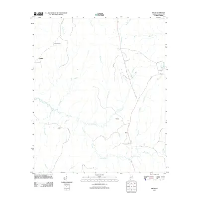
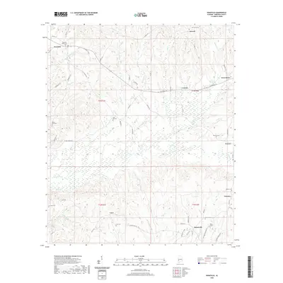
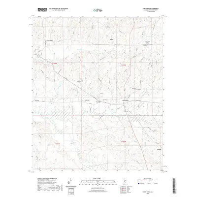
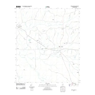 2011 Sweet Water2011 Print · USGSCovers Sweet Water, including Marengo, Clayhill, and other nearby areas
 - 2011 Map of Nanafalia, 2011 Print
 2011 Nanafalia2011 Print · USGSCovers Sweet Water, including Aimwell, Nanafalia, and other nearby areas
 - 2011 Map of Miller, 2011 Print
 2011 Miller2011 Print · USGSCovers Sweet Water, including Octagon, Calvary, and other nearby areas
 - 2014 Map of Miller, 2014 Print
 2014 Miller2014 Print · USGSCovers Sweet Water, including Octagon, Calvary, and other nearby areas
 - 2014 Map of Nanafalia, 2014 Print
 2014 Nanafalia2014 Print · USGSCovers Sweet Water, including Aimwell, Nanafalia, and other nearby areas
 - 2014 Map of Sweet Water, 2014 Print
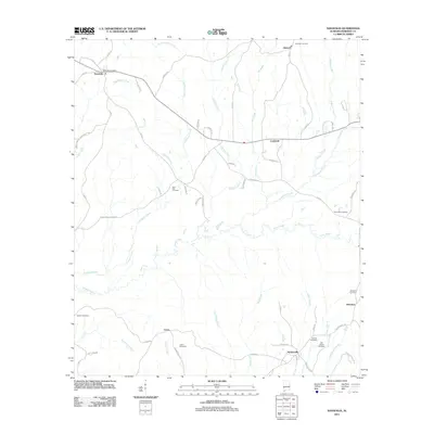
 2014 Sweet Water2014 Print · USGSCovers Sweet Water, including Marengo, Clayhill, and other nearby areas
 - 2018 Map of Nanafalia, 2018 Print
 2018 Nanafalia2018 Print · USGSCovers Sweet Water, including Aimwell, Nanafalia, and other nearby areas
 - 2018 Map of Sweet Water, 2018 Print
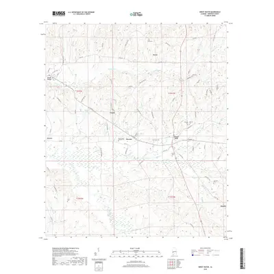 2018 Sweet Water2018 Print · USGSCovers Sweet Water, including Marengo, Clayhill, and other nearby areas
 - 2018 Map of Miller, 2018 Print
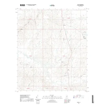 2018 Miller2018 Print · USGSCovers Sweet Water, including Octagon, Calvary, and other nearby areas
 - 2020 Map of Nanafalia, 2020 Print
 2020 Nanafalia2020 Print · USGSCovers Sweet Water, including Aimwell, Nanafalia, and other nearby areas
 - 2020 Map of Miller, 2020 Print
 2020 Miller2020 Print · USGSCovers Sweet Water, including Octagon, Calvary, and other nearby areas
 - 2020 Map of Sweet Water, 2020 Print
 2020 Sweet Water2020 Print · USGSCovers Sweet Water, including Marengo, Clayhill, and other nearby areas
 - 2024 Map of Nanafalia, 2024 Print
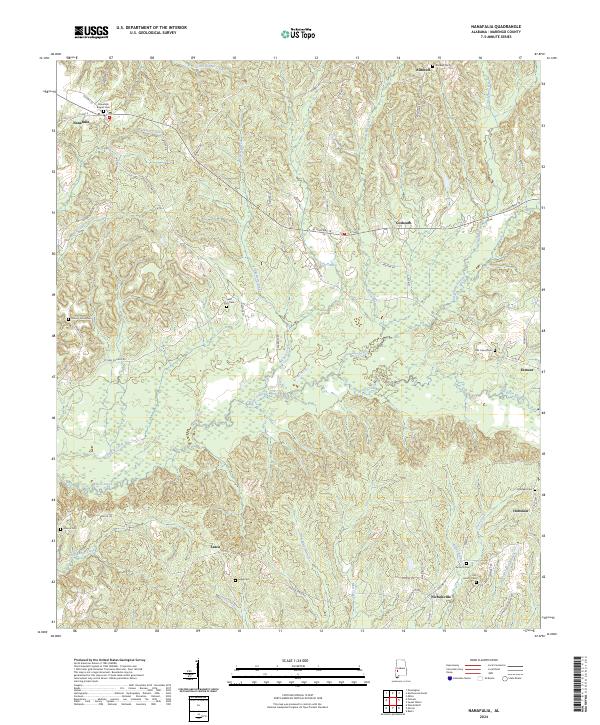 2024 Nanafalia2024 Print · USGSMarengo County settlement patterns are recorded here in the 2020s, showing a landscape defined by creeks and rural hamlets. Genealogists can locate family burial sites like Luker Cem, Old Union Cem, and the Nanafalia Baptist Cem.
 - 2024 Map of Miller, 2024 Print
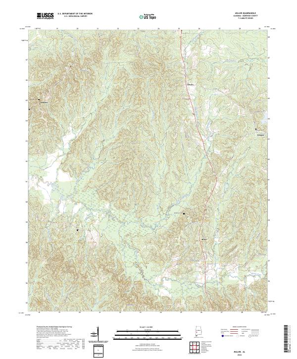 2024 Miller2024 Print · USGSSoutheastern Marengo County maintains its quiet rural character in this modern survey of the Alabama Black Belt. Genealogists and local historians can trace family locations near Miller, Octagon, and Rembert, including several old burial grounds like Bethlehem Cem and Zion Gem.
 - 2024 Map of Sweet Water, 2024 Print
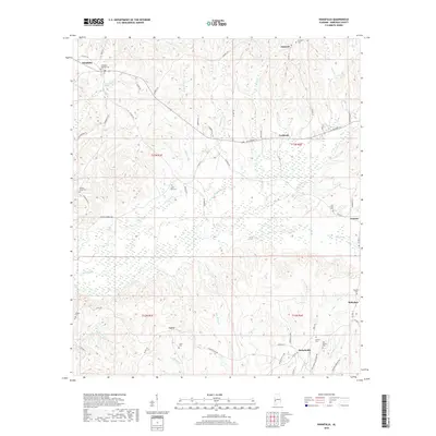
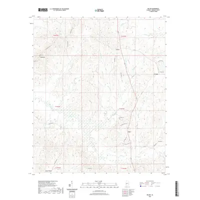
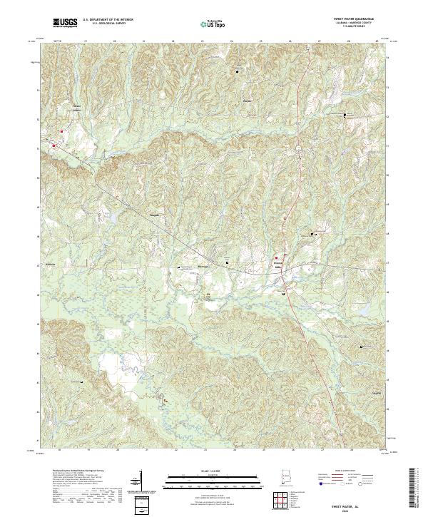 2024 Sweet Water2024 Print · USGSMarengo County's rural communities and historic churchyards are documented here in the early twenty-first century. Genealogists can locate family burial sites at Dunning Cem, Pearson Cem, and Paynes Chapel Methodist Cem near the town of Marengo.
End of results
Showing maps 1-22 of 22
Top cities near Sweet Water
- Thomasville historical maps
- Linden historical maps
- Pennington historical maps
- Thomaston historical maps
- Providence historical maps
- Myrtlewood historical maps
Frequently asked questions
- What are the different types of historical maps available for Sweet Water?
- What is the oldest map of Sweet Water?
- Where can I purchase historical maps of Sweet Water for my home or office?
- Where can I download high-res historical maps of Sweet Water?
- Are there historical topographic maps available for Sweet Water?
- Is there historical aerial imagery available for Sweet Water?
- Where are historical maps of Sweet Water sourced from?