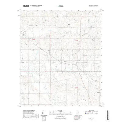
2020s Maps of Sweet Water, Alabama
Explore 6 historic maps of Sweet Water from the 2020s. These maps offer a rare glimpse into what life looked like during the 2020s — showing old roads, neighborhoods, homes, and landmarks that have changed or disappeared over time.
Whether you're researching your family's past, planning a metal detecting trip, or studying how Sweet Water's landscape evolved across the 2020s, these high-resolution maps are a powerful tool for exploring the history of this region.
- Focus on a specific era: All maps on this page are from the 2020s, giving you a focused view of this time period.
- See what’s changed: Compare century-old streets, trails, and buildings to today's modern landscape using overlays and satellite layers.
- Research with precision: Use these maps for genealogy, historical research, land use analysis, or educational projects.
- View, download, or print: Maps are fully viewable online in high resolution, and can be downloaded or printed for your own records.
Start exploring Sweet Water's history through authentic maps from the 2020s. This is your window into the past.
Sweet Water, AL maps
(6)- 2020 Map of Nanafalia, 2020 Print
 2020 Nanafalia2020 Print · USGSCovers Sweet Water, including Aimwell, Nanafalia, and other nearby areas
 - 2020 Map of Miller, 2020 Print
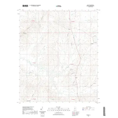 2020 Miller2020 Print · USGSCovers Sweet Water, including Octagon, Calvary, and other nearby areas
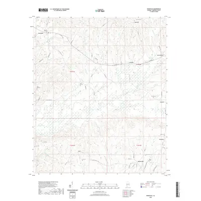
 - 2020 Map of Sweet Water, 2020 Print
 2020 Sweet Water2020 Print · USGSCovers Sweet Water, including Marengo, Clayhill, and other nearby areas
 - 2024 Map of Nanafalia, 2024 Print
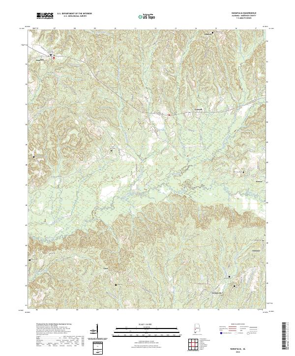 2024 Nanafalia2024 Print · USGSMarengo County settlement patterns are recorded here in the 2020s, showing a landscape defined by creeks and rural hamlets. Genealogists can locate family burial sites like Luker Cem, Old Union Cem, and the Nanafalia Baptist Cem.
 - 2024 Map of Miller, 2024 Print
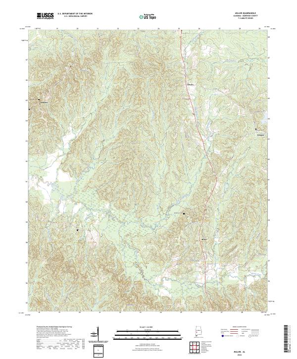 2024 Miller2024 Print · USGSSoutheastern Marengo County maintains its quiet rural character in this modern survey of the Alabama Black Belt. Genealogists and local historians can trace family locations near Miller, Octagon, and Rembert, including several old burial grounds like Bethlehem Cem and Zion Gem.
 - 2024 Map of Sweet Water, 2024 Print
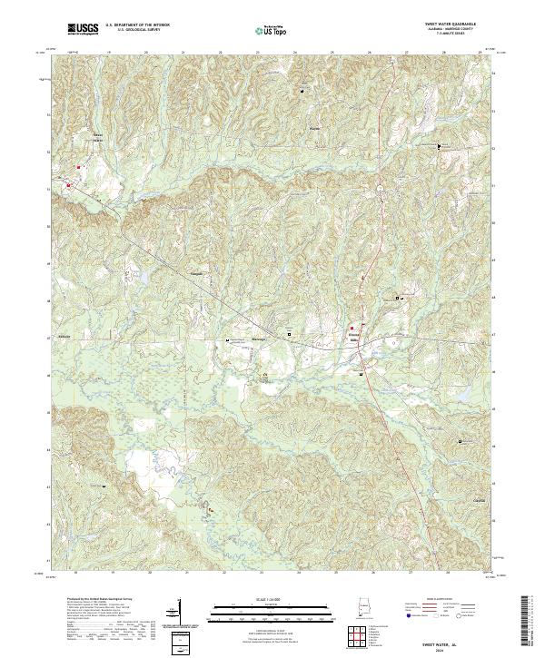 2024 Sweet Water2024 Print · USGSMarengo County's rural communities and historic churchyards are documented here in the early twenty-first century. Genealogists can locate family burial sites at Dunning Cem, Pearson Cem, and Paynes Chapel Methodist Cem near the town of Marengo.
End of results
Showing maps 1-6 of 6
Top cities near Sweet Water
- Thomasville historical maps
- Linden historical maps
- Pennington historical maps
- Thomaston historical maps
- Providence historical maps
- Myrtlewood historical maps
Frequently asked questions
- What are the different types of historical maps available for Sweet Water?
- What is the oldest map of Sweet Water?
- Where can I purchase historical maps of Sweet Water for my home or office?
- Where can I download high-res historical maps of Sweet Water?
- Are there historical topographic maps available for Sweet Water?
- Is there historical aerial imagery available for Sweet Water?
- Where are historical maps of Sweet Water sourced from?