2020s Maps of Thomasville, Alabama
Explore 8 historic maps of Thomasville from the 2020s. These maps offer a rare glimpse into what life looked like during the 2020s — showing old roads, neighborhoods, homes, and landmarks that have changed or disappeared over time.
Whether you're researching your family's past, planning a metal detecting trip, or studying how Thomasville's landscape evolved across the 2020s, these high-resolution maps are a powerful tool for exploring the history of this region.
- Focus on a specific era: All maps on this page are from the 2020s, giving you a focused view of this time period.
- See what’s changed: Compare century-old streets, trails, and buildings to today's modern landscape using overlays and satellite layers.
- Research with precision: Use these maps for genealogy, historical research, land use analysis, or educational projects.
- View, download, or print: Maps are fully viewable online in high resolution, and can be downloaded or printed for your own records.
Start exploring Thomasville's history through authentic maps from the 2020s. This is your window into the past.
Thomasville, AL maps
(8)- 2020 Map of Thomasville, 2020 Print
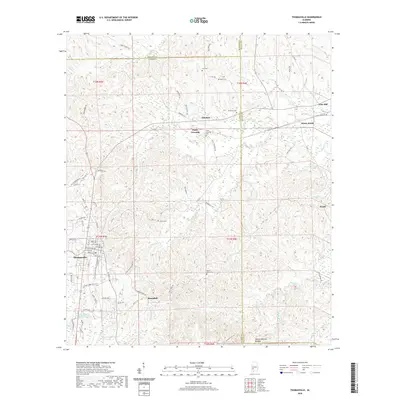 2020 Thomasville2020 Print · USGSCovers Thomasville, including Pine Hill, Sunny South, and other nearby areas
 - 2020 Map of Fulton West, 2020 Print
 2020 Fulton West2020 Print · USGSCovers Thomasville, including Fulton, Springfield, and other nearby areas
 - 2020 Map of Fulton East, 2020 Print
 2020 Fulton East2020 Print · USGSCovers Thomasville, including Fulton, McWer, and other nearby areas
 - 2020 Map of Bashi, 2020 Print
 2020 Bashi2020 Print · USGSCovers Thomasville, including Bashi, Midway, and other nearby areas
 - 2024 Map of Bashi, 2024 Print
 2024 Bashi2024 Print · USGSThe rural interior of Clarke and Marengo Counties is documented here in the early twenty-first century. Genealogists and historians can trace family locations through several community burial sites like Bashi Cem and the settlement at Tallahatta Springs.
 - 2024 Map of Fulton West, 2024 Print
 2024 Fulton West2024 Print · USGSClarke County's rural heartland is meticulously detailed in this recent survey of the settlements surrounding Fulton. Researchers can trace family history through sites like Kelley Cem or follow the historic paths of Old Grove Hill Rd and Dummy Line Rd.
 - 2024 Map of Thomasville, 2024 Print
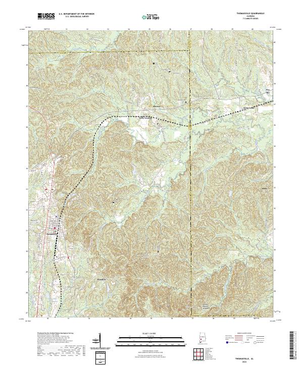 2024 Thomasville2024 Print · USGSThomasville and its neighboring Clarke County settlements are captured here in the mid-2020s, showing a landscape defined by creek valleys and rural crossroads. Genealogists can locate several family burial sites, including Tutt Cem and Airmount Cem, or trace the path of the Double Natural Bridges.
 - 2024 Map of Fulton East, 2024 Print
 2024 Fulton East2024 Print · USGSClarke County's timberlands and rural junctions are documented here in the early twenty-first century. Genealogists and local historians can trace family locations near Fulton, Dickinson, and several historic burying grounds like Salem Cem and Tate Cem.
End of results
Showing maps 1-8 of 8
Top cities near Thomasville
- Grove Hill historical maps
- Pine Hill historical maps
- Sweet Water historical maps
- Fulton historical maps
Top neighborhoods of Thomasville
Frequently asked questions
- What are the different types of historical maps available for Thomasville?
- What is the oldest map of Thomasville?
- Where can I purchase historical maps of Thomasville for my home or office?
- Where can I download high-res historical maps of Thomasville?
- Are there historical topographic maps available for Thomasville?
- Is there historical aerial imagery available for Thomasville?
- Where are historical maps of Thomasville sourced from?