Old Maps of Gold Hill, Alabama for Academic Research
Study the evolution of Gold Hill with 13 high-resolution historic maps. Whether you're teaching, researching, or modeling changes in land use, these maps provide essential visual documentation of urban, environmental, and geographic change.
- Analyze long-term change: Track patterns in development, transportation, and natural features.
- Ideal for environmental or urban studies: Support academic projects with primary historical map data.
- Use in the classroom or lab: Educators and researchers rely on these maps to bring historical context to life.
These maps are a powerful tool for teaching, research, and visualizing how Gold Hill has changed over the decades.
Gold Hill, AL maps
(13)- 1900 Map of Anniston
 1900 Anniston1900 Print · USGSNortheast Alabama thrived as a railroad and industrial crossroads at the turn of the century. Genealogists and researchers can trace family landmarks and early transport hubs from the Coosa River to Anniston, including Salt Creek Church and Fowler Ferry.6 unique versions available
 - 1953 Map of Atlanta, 1965 Print
 1953 Atlanta1965 Print · USGSThe growing Atlanta metro and the industrial corridors of Eastern Alabama are captured here during the mid-century transition. Researchers can trace the rail-to-road shift through hubs like Anniston and La Grange or locate sites within Fort McClellan.2 unique versions available
 - 1957 Map of Atlanta
 1957 Atlanta1957 Print · USGSAtlanta and the Alabama borderlands appear here in the mid-fifties, capturing the region's post-war suburban and industrial transition. Trace the development of early transport hubs and military sites like Fort McPherson, Anniston, and the Kennesaw Mountain National Battlefield Park.
 - 1958 Map of Atlanta
 1958 Atlanta1958 Print · USGSMid-century Georgia and Alabama are shown in this regional study of the corridor between the Chattahoochee River and the Appalachian foothills. Local historians can trace the development of suburban Atlanta alongside vital landmarks like Stone Mountain, Dobbins AFB, and the Seaboard Air Line rail routes.
 - 1967 Map of Ross Mountain, 1969 Print
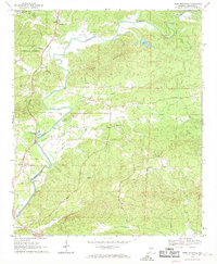 1967 Ross Mountain1969 Print · USGSCleburne County, Alabama, is shown here in the late sixties as a landscape of timbered ridges and winding river bottoms. Genealogists can locate family landmarks like Arbacoochee, Lockchelooge, and several rural sanctuaries including Oak Hill Ch and Hepsibah Ch.3 unique versions available
 - 1975 Map of Ross Mountain, 1977 Print
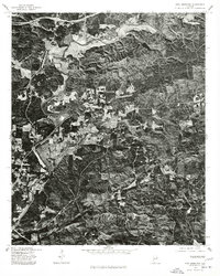 1975 Ross Mountain1977 Print · USGSEastern Alabama's rural landscape is captured through aerial photography in the mid-seventies, showing the region's transition from forest to clearing. Genealogists and historians can trace the riverside settlement of Belltown and the rugged terrain surrounding Ross Mountain.
 - 1981 Map of Anniston, 1982 Print
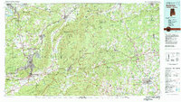 1981 Anniston1982 Print · USGSNortheast Alabama and the Georgia borderlands come alive in the early eighties, showing a landscape of heavy industry, military outposts, and mountain forests. Genealogists and historians can trace the development of towns like Anniston and Carrollton, or locate landmarks such as Whitesides Mill and Webster Chapel.2 unique versions available
 - 2001 Map of Ross Mountain, 2004 Print
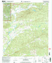 2001 Ross Mountain2004 Print · USGSCleburne County at the start of the millennium is a land of winding rivers and ridge-line communities. Researchers can trace rural lineages through sites like Arbacoochee, Hepsabah Ch, and family-named landmarks near the Tallapoosa River.
 - 2011 Map of Ross Mountain, 2011 Print
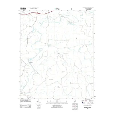 2011 Ross Mountain2011 Print · USGSEastern Cleburne County comes into focus in this modern era survey of the river-cut foothills. Researchers can trace family sites at New Harmony Cemetery and explore the historic road network connecting Beason Mill, Belltown, and the river crossing at Ross Bridge.
 - 2014 Map of Ross Mountain, 2014 Print
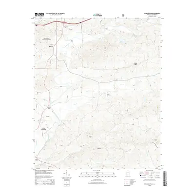 2014 Ross Mountain2014 Print · USGSHeflin and the surrounding Cleburne County hills are captured here in the early twenty-first century as the Tallapoosa River winds through the Talladega National Forest. Local historians can trace family-named landmarks and old burial grounds like Beason Grove Cem and Evans Bridge.
 - 2018 Map of Ross Mountain, 2018 Print
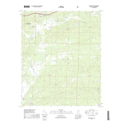 2018 Ross Mountain2018 Print · USGSCleburne County during the late 2010s shows a landscape where the Tallapoosa River and Talladega National Forest dominate the terrain. Genealogists and local historians can trace family locations through New Harmony Cem, Belltown, and river crossings like Riddles Bridge.
 - 2021 Map of Ross Mountain, 2021 Print
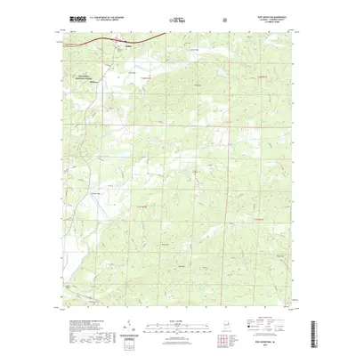 2021 Ross Mountain2021 Print · USGSCleburne County terrain at the start of the 2020s shows a landscape where the Tallapoosa River winds past small settlements and protected forest lands. Genealogists and local historians can locate several rural burial sites like Hepsabah Cem and Beason Grove Cem tucked between ridges like Ross Mtn.
 - 2024 Map of Ross Mountain, 2024 Print
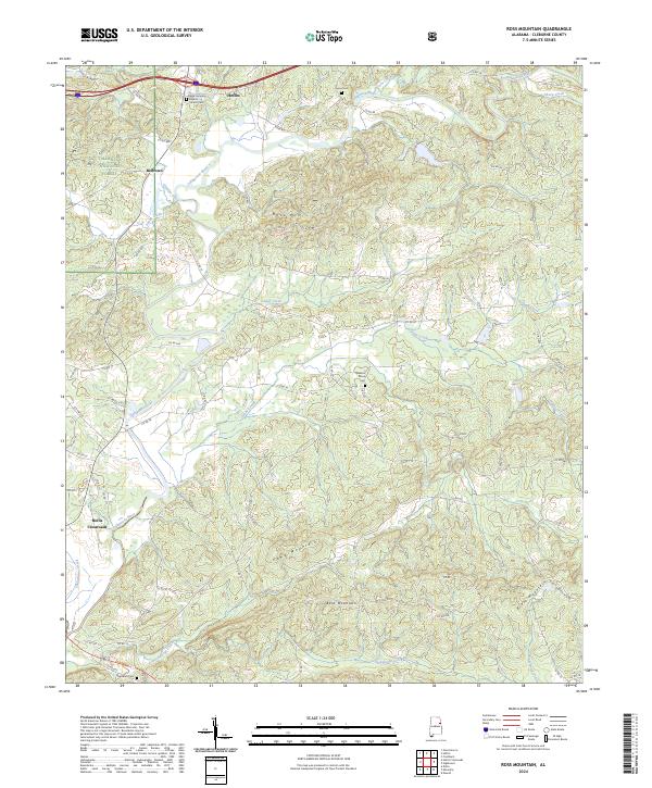 2024 Ross Mountain2024 Print · USGSEastern Alabama's highland terrain and the winding Tallapoosa River define this modern survey of Cleburne County. Family historians can trace local landmarks like Beason Grove Cem, Hollis Crossroads, and the New Harmony Baptist Church.
End of results
Showing maps 1-13 of 13
Top cities near Gold Hill
- Oxford historical maps
- Jacksonville historical maps
- Heflin historical maps
- Tallapoosa historical maps
- Choccolocco historical maps
- Lineville historical maps
See more
Frequently asked questions
- What are the different types of historical maps available for Gold Hill?
- What is the oldest map of Gold Hill?
- Where can I purchase historical maps of Gold Hill for my home or office?
- Where can I download high-res historical maps of Gold Hill?
- Are there historical topographic maps available for Gold Hill?
- Is there historical aerial imagery available for Gold Hill?
- Where are historical maps of Gold Hill sourced from?