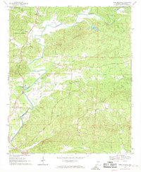
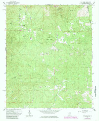
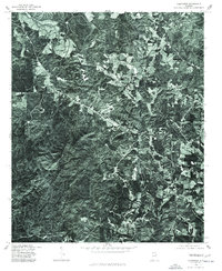
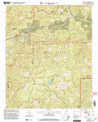
1967 Map of Ross Mountain
USGS Topo · Published 1969This historical map portrays the area of Ross Mountain in 1967, primarily covering Cleburne County. Featuring a scale of 1:24000, this map provides a highly detailed snapshot of the terrain, roads, buildings, counties, and historical landmarks in the Ross Mountain region at the time. Published in 1969, it is one of 3 known editions of this map due to revisions or reprints.
Map Details
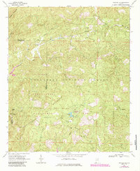
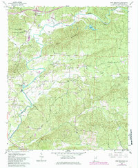
Editions of this 1967 Ross Mountain Map
3 editions found
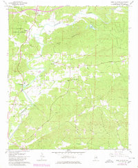
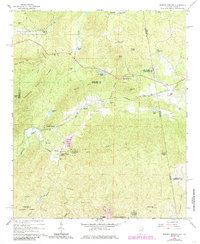
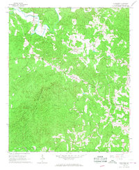
Historical Maps of Gold Hill Through Time
13 maps found
1966 Borden Springs
Cleburne County, AL
1966 Hightower
Cleburne County, AL
1966 Oak Level
Cleburne County, AL
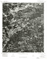
1967 Piedmont SE
Cleburne County, AL
1967 Ross Mountain
Cleburne County, AL
1975 Borden Springs
Cleburne County, AL
1975 Hightower
Cleburne County, AL

1975 Oak Level
Cleburne County, AL
1975 Piedmont SE
Cleburne County, AL
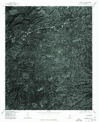
1975 Ross Mountain
Cleburne County, AL
2001 Borden Springs
Cleburne County, AL
2001 Piedmont SE
Cleburne County, AL
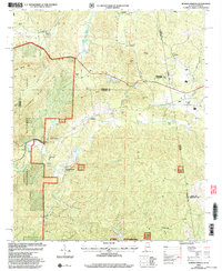
2001 Ross Mountain
Cleburne County, AL