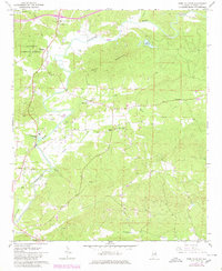
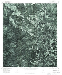
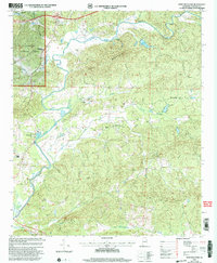
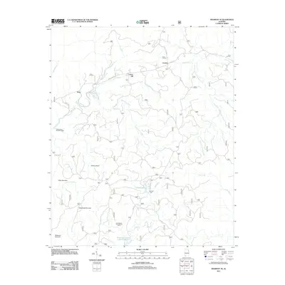
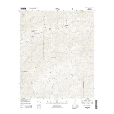
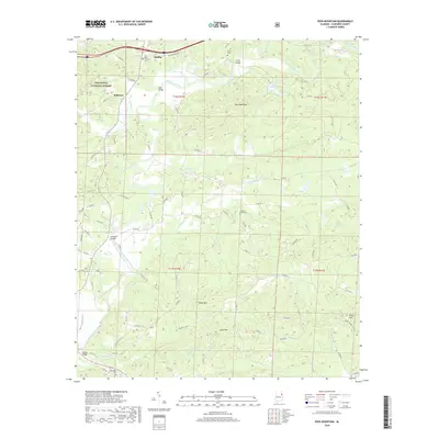
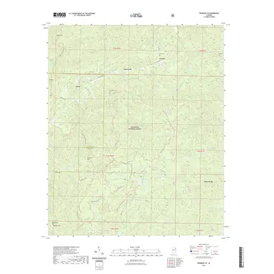
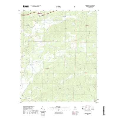
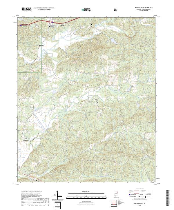
1967 Map of Ross Mountain
USGS Topo · Published 1980About this map
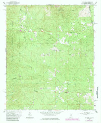
Ross Mountain rises as a central topographic feature in this Cleburne County survey, which documents the landscape as it appeared in the late 1960s with updates into the early 1980s. The Tallapoosa River winds through the western half of the quadrangle, flanked by numerous gravel pits that underscore the local extractive industry of the era. Settlement is concentrated in small rural clusters like Arbacoochee and Belltown, with much of the northern terrain protected within the Talladega National Forest.
Find a feature on this map
28 named features on this map. Tap any name to fly to it.
Don’t see what you’re looking for? This feature index may not catch every label — zoom into the map to look around manually.
Map Details
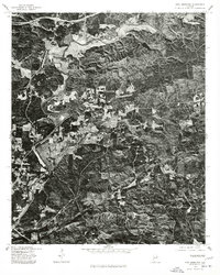
Editions of this 1967 Ross Mountain Map
3 editions found
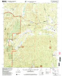
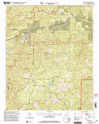
Historical Maps of Heflin Through Time
38 maps found
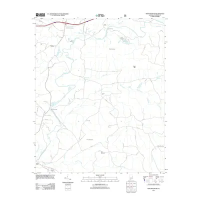
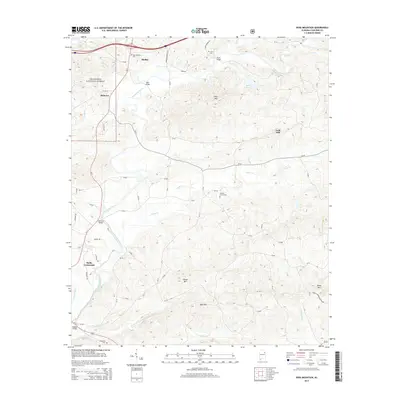
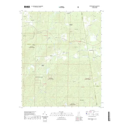
1966 Borden Springs
Cleburne County, AL
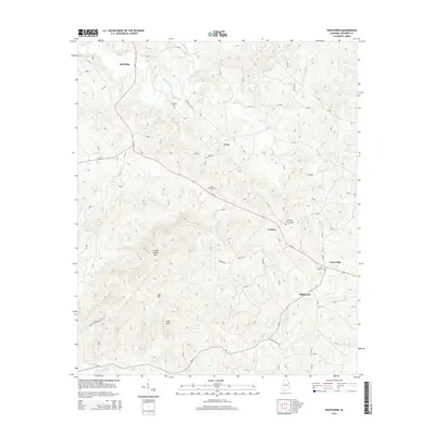
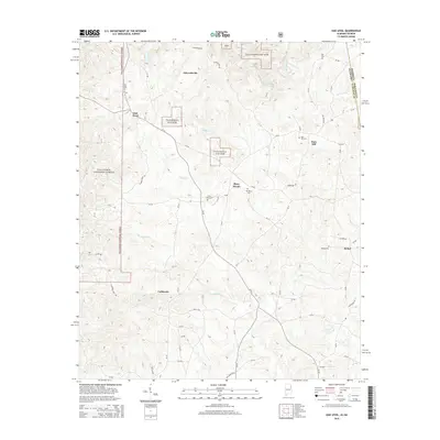
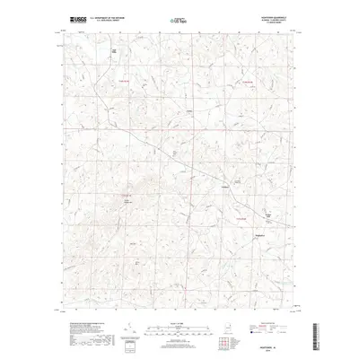
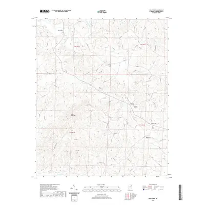
1966 Hightower
Cleburne County, AL
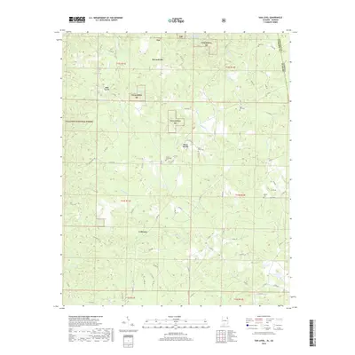
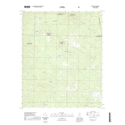
1966 Oak Level
Cleburne County, AL
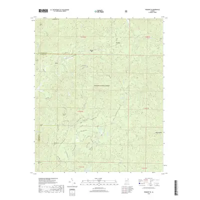
1967 Piedmont SE
Cleburne County, AL
1967 Ross Mountain
Cleburne County, AL
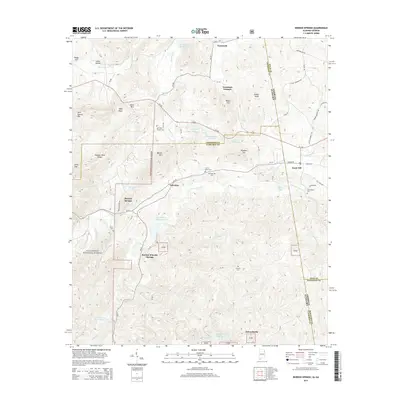
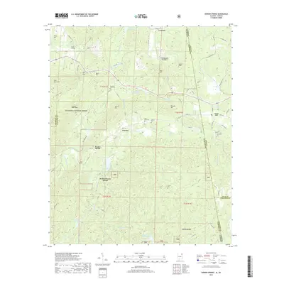
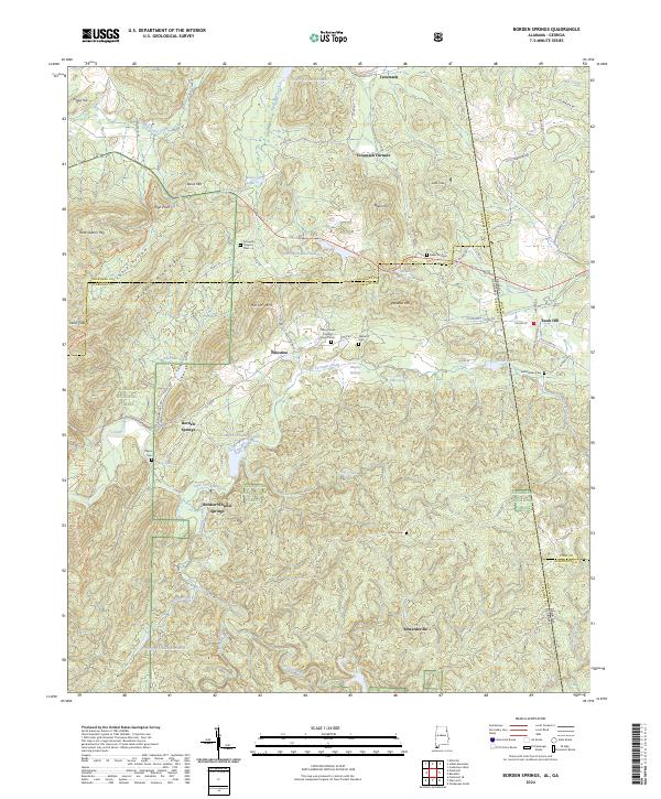
1975 Borden Springs
Cleburne County, AL
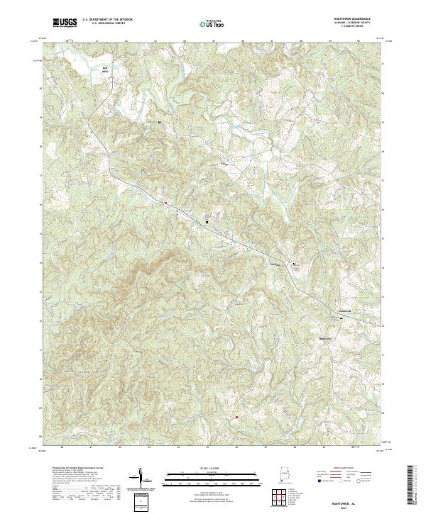
1975 Hightower
Cleburne County, AL

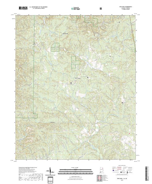
1975 Oak Level
Cleburne County, AL

1975 Piedmont SE
Cleburne County, AL
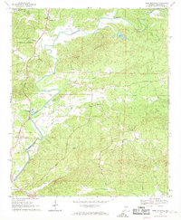
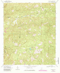
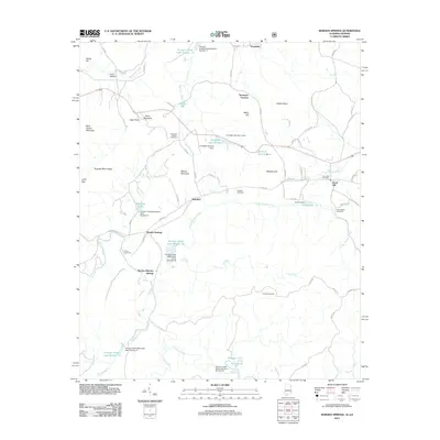
1975 Ross Mountain
Cleburne County, AL
2001 Borden Springs
Cleburne County, AL
2001 Piedmont SE
Cleburne County, AL
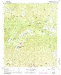
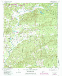
2001 Ross Mountain
Cleburne County, AL
2011 Borden Springs
Cleburne County, AL
2011 Hightower
Cleburne County, AL
2011 Oak Level
Cleburne County, AL
2011 Piedmont SE
Cleburne County, AL
2011 Ross Mountain
Cleburne County, AL
2014 Borden Springs
Cleburne County, AL
2014 Hightower
Cleburne County, AL
2014 Oak Level
Cleburne County, AL
2014 Piedmont SE
Cleburne County, AL
2014 Ross Mountain
Cleburne County, AL
2018 Borden Springs
Cleburne County, AL
2018 Hightower
Cleburne County, AL
2018 Oak Level
Cleburne County, AL
2018 Piedmont SE
Cleburne County, AL
2018 Ross Mountain
Cleburne County, AL
2020 Hightower
Cleburne County, AL
2021 Borden Springs
Cleburne County, AL
2021 Oak Level
Cleburne County, AL
2021 Piedmont SE
Cleburne County, AL
2021 Ross Mountain
Cleburne County, AL
2024 Borden Springs
Cleburne County, AL
2024 Hightower
Cleburne County, AL
2024 Oak Level
Cleburne County, AL
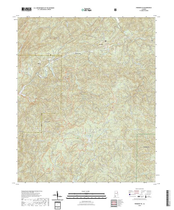
2024 Piedmont SE
Cleburne County, AL
2024 Ross Mountain
Cleburne County, AL