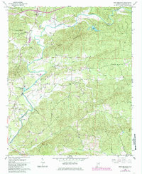
1967 Map of Ross Mountain
USGS Topo · Published 1985About this map
The Tallapoosa River winds through a landscape defined by small rural settlements and extensive timberlands in the late 1960s. This portion of the Talladega National Forest is anchored by Ross Mountain and the high ground around Arbacoochee, a site with deep roots in local history. The map shows a high density of country churches that served as community centers, including New Harmony Ch, Beason Grove Ch, and Greens Chapel. Numerous Gravel Pits and a small Landing Strip near Belltown suggest a mix of local extraction and light utility infrastructure during this period. The survey also captures a detailed drainage network of several major creeks, such as Chulafinnee Creek and Lockchelooge Creek, which feed into the river's meandering course.
Find a feature on this map
28 named features on this map. Tap any name to fly to it.
Don’t see what you’re looking for? This feature index may not catch every label — zoom into the map to look around manually.
Map Details
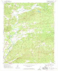
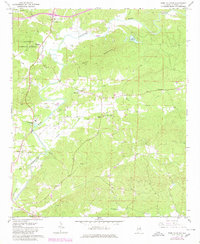
Editions of this 1967 Ross Mountain Map
3 editions found
Other maps of this area

1889 · Tallapoosa
USGS Topo · 1:125,000

1891 · Ashland
USGS Topo · 1:125,000

1892 · Tallapoosa
USGS Topo · 1:125,000

1897 · Tallapoosa
USGS Topo · 1:125,000

1899 · Wedowee
USGS Topo · 1:125,000

1900 · Anniston
USGS Topo · 1:125,000

1902 · Wedowee
USGS Topo · 1:125,000

1953 · Atlanta
USGS Topo · 1:250,000

1954 · Choccolocco
USGS Topo · 1:24,000

1957 · Atlanta
USGS Topo · 1:250,000