Old Maps of Grantley, Alabama
Explore 13 old maps of Grantley, spanning from 1900 to today. These high-resolution historic maps reveal how streets, neighborhoods, landmarks, and natural features evolved over time — perfect for genealogy, metal detecting, research, and local history exploration.
What you can do with these maps:
- See how Grantley changed over time: Compare historical maps to modern-day views to trace roads, homesites, rail lines & more.
- View detailed metadata: Each map includes creators, publishers, year, scale, and archive source.
- Overlay maps with satellite & LiDAR: Visualize the past alongside modern tools to explore terrain & human change.
- Trusted historical sources: Maps sourced from the USGS, Library of Congress, and other archives.
- Access maps your way: View online, download high-res files, or order prints for personal or research use.
Start exploring old maps of Grantley to uncover forgotten places, hidden landmarks, and the deep history beneath your feet.
Grantley, AL maps
(13)- 1900 Map of Anniston
 1900 Anniston1900 Print · USGSNortheast Alabama thrived as a railroad and industrial crossroads at the turn of the century. Genealogists and researchers can trace family landmarks and early transport hubs from the Coosa River to Anniston, including Salt Creek Church and Fowler Ferry.6 unique versions available
 - 1953 Map of Atlanta, 1965 Print
 1953 Atlanta1965 Print · USGSThe growing Atlanta metro and the industrial corridors of Eastern Alabama are captured here during the mid-century transition. Researchers can trace the rail-to-road shift through hubs like Anniston and La Grange or locate sites within Fort McClellan.2 unique versions available
 - 1957 Map of Atlanta
 1957 Atlanta1957 Print · USGSAtlanta and the Alabama borderlands appear here in the mid-fifties, capturing the region's post-war suburban and industrial transition. Trace the development of early transport hubs and military sites like Fort McPherson, Anniston, and the Kennesaw Mountain National Battlefield Park.
 - 1958 Map of Atlanta
 1958 Atlanta1958 Print · USGSMid-century Georgia and Alabama are shown in this regional study of the corridor between the Chattahoochee River and the Appalachian foothills. Local historians can trace the development of suburban Atlanta alongside vital landmarks like Stone Mountain, Dobbins AFB, and the Seaboard Air Line rail routes.
 - 1967 Map of Piedmont SE, 1970 Print
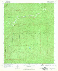 1967 Piedmont SE1970 Print · USGSThe northern reaches of the Talladega National Forest appear here in the late sixties, showing a landscape of ridges and forest management. Researchers can trace local heritage at Grantley Ch, the Dunn Cem, and the old settlement of Liberty Hill.2 unique versions available
 - 1975 Map of Piedmont SE, 1977 Print
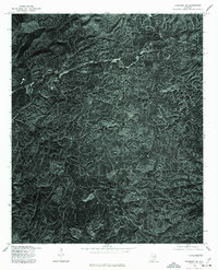 1975 Piedmont SE1977 Print · USGSCleburne County's wooded hills and small communities are shown in this 1970s aerial survey just as the regional landscape was maturing. Genealogists and historians can locate rural homesteads and settlements like Grantley, Liberty Hill, and the shores of Coleman Lake.
 - 1981 Map of Anniston, 1982 Print
 1981 Anniston1982 Print · USGSNortheast Alabama and the Georgia borderlands come alive in the early eighties, showing a landscape of heavy industry, military outposts, and mountain forests. Genealogists and historians can trace the development of towns like Anniston and Carrollton, or locate landmarks such as Whitesides Mill and Webster Chapel.2 unique versions available
 - 2001 Map of Piedmont SE, 2004 Print
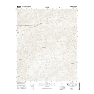
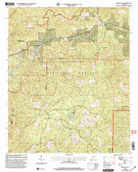 2001 Piedmont SE2004 Print · USGSThe foothills of the Appalachian Mountains in Cleburne County come into focus at the turn of the millennium, revealing a landscape of managed forests and mountain ridges. Researchers can trace rural lineages at Grantley Ch and Dunn Cem or follow the path of the Pinhoti Trail.
 - 2011 Map of Piedmont SE, 2011 Print
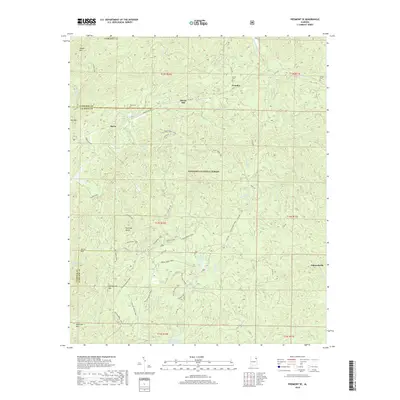
 2011 Piedmont SE2011 Print · USGSCovers Grantley, including Liberty Hill, Burns, and other nearby areas
 - 2014 Map of Piedmont SE, 2014 Print
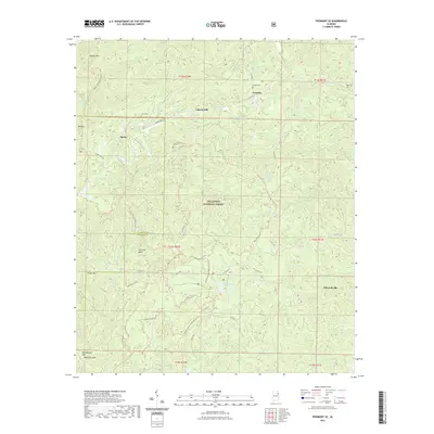
 2014 Piedmont SE2014 Print · USGSCovers Grantley, including Liberty Hill, Burns, and other nearby areas
 - 2018 Map of Piedmont SE, 2018 Print
 2018 Piedmont SE2018 Print · USGSCovers Grantley, including Liberty Hill, Burns, and other nearby areas
 - 2021 Map of Piedmont SE, 2021 Print
 2021 Piedmont SE2021 Print · USGSCovers Grantley, including Liberty Hill, Burns, and other nearby areas
 - 2024 Map of Piedmont SE, 2024 Print
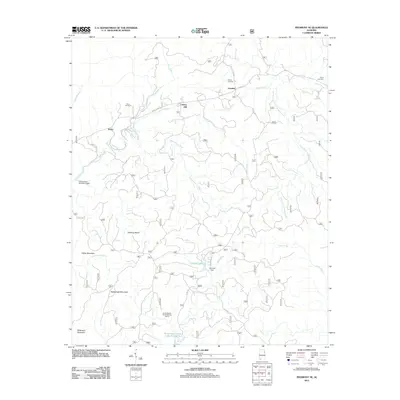
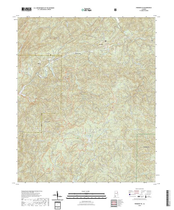 2024 Piedmont SE2024 Print · USGSThe foothills of the Appalachian mountains in eastern Alabama are shown here in modern detail, covering the expansive TALLADEGA NATIONAL FOREST. Researchers can locate family cemeteries like Grimes Cem and Stead Cem alongside small settlements like Edwardsville and Grantley.
End of results
Showing maps 1-13 of 13
Top cities near Grantley
- Oxford historical maps
- Anniston historical maps
- Jacksonville historical maps
- Piedmont historical maps
- Heflin historical maps
- Choccolocco historical maps
See more
Frequently asked questions
- What are the different types of historical maps available for Grantley?
- What is the oldest map of Grantley?
- Where can I purchase historical maps of Grantley for my home or office?
- Where can I download high-res historical maps of Grantley?
- Are there historical topographic maps available for Grantley?
- Is there historical aerial imagery available for Grantley?
- Where are historical maps of Grantley sourced from?