Old Maps of Muscle Shoals, Alabama for Hiking & Exploration
Hike through history with 41 historic maps of Muscle Shoals. Explore old trails, ghost towns, and forgotten backroads — perfect for outdoor adventurers and local explorers.
- Rediscover forgotten places: Map out old mining camps, roads, and footpaths that no longer exist on modern maps.
- Layer with modern tools: Combine with LiDAR or satellite views to plan hikes through historical terrain.
- Made for exploration: Popular among hikers, overlanders, and local history lovers.
Use these maps to find adventure and explore the hidden past of Muscle Shoals.
Muscle Shoals, AL maps
(41)- 1914 Map of Muscle Shoals
 1914 Muscle Shoals1914 Print · USGSThe Tennessee River and its complex shoals define the Shoals region in the years before major damming projects. Trace the Muscle Shoals Canal and find landmarks like St Florian, Mars Hill School, and Lock No 6.
 - 1916 Map of Muscle Shoals
 1916 Muscle Shoals1916 Print · USGSThe Tennessee River corridor around Florence and Sheffield appears here in the years before dam construction altered the valley forever. Researchers can trace historic river crossings like Goose Shoals Ford, early navigation locks, and vanished community hubs such as Big Cut Hines PO.2 unique versions available
 - 1924 Map of Tuscumbia
 1924 Tuscumbia1924 Print · USGSNorth Alabama in the mid-twenties shows a landscape of river-oriented commerce and upland farming before the modern reservoir system. Genealogists can locate family landmarks from Leighton to Russellville, including Clements Mill, Ligon Springs, and the Morning Star School.2 unique versions available
 - 1926 Map of Tuscumbia
 1926 Tuscumbia1926 Print · USGSThe Tennessee River valley and the northern ridges of the Black Warrior highlands appear here in the mid-twenties. Genealogists can trace family sites like Campbell Settlement or early centers such as Spring Valley Sta and Atepost.3 unique versions available
 - 1936 Map of Florence
 1936 Florence1936 Print · USGSThe Shoals area enters the TVA era as the river prepares for the new reservoir. Genealogists and historians can trace Oakwood Cem, the Coffee Rosenwald Sch, and early federal housing at Wilson Dam Village No 3.
 - 1936 Map of Leighton
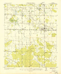 1936 Leighton1936 Print · USGSLeighton and the surrounding Colbert County countryside are shown here in the mid-1930s as the Tennessee Valley Authority began transforming the region. Researchers can locate family-named sites like Bickley Place, community centers such as Valley Grove Ch, and the old Lagrange Cem.
 - 1936 Map of Tuscumbia
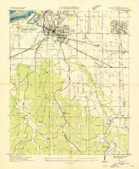 1936 Tuscumbia1936 Print · USGSNorthwest Alabama undergoes a massive transition in the mid-thirties as federal projects reshape the Tennessee River. Trace old family roots at Underwood Cem, the early rail network through Noralia Junction, or the vanished industrial layout of Nitrate Plant No 1.
 - 1936 Map of Killen
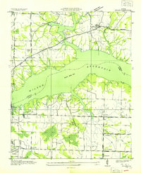 1936 Killen1936 Print · USGSThe Tennessee River valley transformed in the mid-thirties as hydroelectric power and industrial villages reshaped the Alabama landscape. Genealogists can locate family landmarks like Mt Pleasant Cemetery or early educational sites such as Price School and Harkins Creek School.
 - 1952 Map of Leighton, 1957 Print
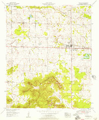 1952 Leighton1957 Print · USGSLeighton and the surrounding Colbert County countryside are captured here in the early fifties, from the Tennessee Valley flats to the heights of the southern ridges. Genealogists can locate family landmarks like La Grange Cem, Cole Cem, and the La Grange College Monument.
 - 1952 Map of Tuscumbia, 1958 Print
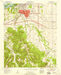 1952 Tuscumbia1958 Print · USGSTuscumbia and Sheffield are shown in detail during a period of post-war expansion along the Tennessee River. Genealogists can locate family names and rural landmarks such as Isbell Chapel, Spring Valley Church, and the Helen Keller Home alongside several country cemeteries.
 - 1953 Map of Killen, 1957 Print
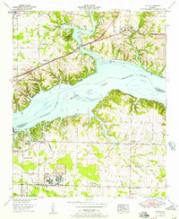 1953 Killen1957 Print · USGSThe Tennessee River valley in the early fifties shows a landscape reshaped by industry and the waters of Wilson Lake. Researchers can trace the development of Nitrate City and Listerhill or find family landmarks like Old Brick Ch and Woodlawn Cem.
 - 1956 Map of Gadsden, 1966 Print
 1956 Gadsden1966 Print · USGSNorth Alabama in the mid-1950s shows a region transformed by river engineering and federal industry. Genealogists and local historians can trace the development of the Tennessee Valley through the growth of Huntsville, the sprawling Redstone Arsenal, and the expansive Guntersville Lake.3 unique versions available
 - 1957 Map of Florence, 1958 Print
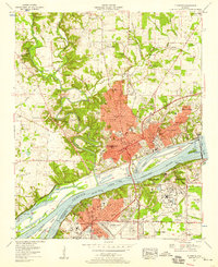 1957 Florence1958 Print · USGSThe riverfront cities of Florence and Sheffield are shown in the late fifties as industrial and educational growth transformed the Shoals. Researchers can trace family sites like Africa Ch, Greeview Memorial Cem, and the early campus of Florence State College.2 unique versions available
 - 1958 Map of Gadsden
 1958 Gadsden1958 Print · USGSNorth Alabama comes alive in the late 1950s as the Tennessee Valley Authority’s massive river projects and the rise of the space industry reshaped the landscape. Researchers can trace the mid-century footprints of Huntsville, Redstone Arsenal, and the riverside rail networks of the Southern railroad.
 - 1960 Map of Gadsden
 1960 Gadsden1960 Print · USGSNorthern Alabama in the mid-1950s is defined by the mighty Tennessee River and its massive reservoirs. Trace the development of Huntsville and Redstone Arsenal or explore the vast William B Bankhead National Forest.2 unique versions available
 - 1963 Map of Gadsden
 1963 Gadsden1963 Print · USGSNorthern Alabama underwent a dramatic mid-century transformation as the Tennessee Valley became a hub for defense and industry. Researchers can trace the development of the Redstone Arsenal, the route of the Natchez Trace Parkway, and long-standing rail lines like the Southern Railway.
 - 1971 Map of Florence, 1972 Print
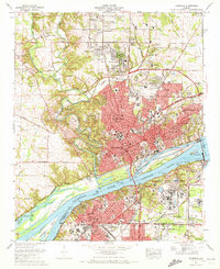 1971 Florence1972 Print · USGSFlorence and the Shoals region thrive along the Tennessee River in the early 1970s, as urban expansion meets massive federal infrastructure projects. Researchers can trace family history through local landmarks like Florence State College, Wilson Dam, and Jerusalem Ch.3 unique versions available
 - 1971 Map of Tuscumbia, 1972 Print
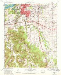 1971 Tuscumbia1972 Print · USGSColbert County's tri-cities area comes to life in this early 1970s survey of the bustling Tennessee River valley. Family historians and researchers can locate landmarks like Oakwood Cem, Deshler High School, and the tracks of the Southern Railway.
 - 1971 Map of Leighton, 1973 Print
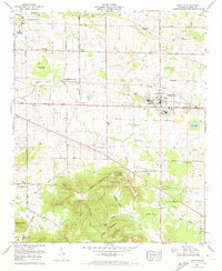 1971 Leighton1973 Print · USGSLeighton and the foothills of the Tennessee Valley are captured here in the early 1970s. Researchers can trace genealogical roots through dozens of local landmarks, from Colbert County High School to historic sites like the La Grange Cem and Blythe Memorial Ch.2 unique versions available
 - 1971 Map of Killen, 1973 Print
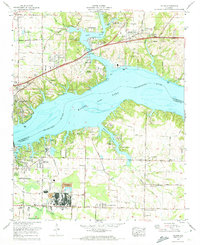 1971 Killen1973 Print · USGSThe Tennessee River shoreline at Wilson Lake underwent significant industrial and residential growth by the early 1970s. Researchers can trace family history at Huff Cem and Brick Sch or locate the specialized industrial settlements of Listerhill and Nitrate City.3 unique versions available
 - 1986 Map of Tuscumbia
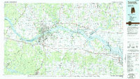 1986 Tuscumbia1986 Print · USGSThe Tennessee River valley in the mid-1980s shows a landscape transformed by massive reservoirs and industrial hubs. Genealogists and local historians can trace the development of the Shoals area and locate rural communities like Tharp Town, Leighton, and Rogersville.3 unique versions available
 - 2011 Map of Killen, 2011 Print
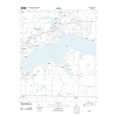 2011 Killen2011 Print · USGSCoastal life and residential growth define this Lauderdale County landscape along Wilson Lake in the early 2010s. Genealogists can locate several family burial grounds like Jones Hill Cemetery and Hawkins Cemetery among modern developments.
 - 2011 Map of Florence, 2011 Print
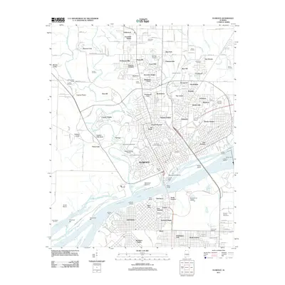 2011 Florence2011 Print · USGSFlorence and the Tennessee River riverfront are shown in high detail during this era of modern growth. Genealogists and local historians can trace family plots at Florence Cemetery and Greenview Memorial Cemetery or locate the historic Waumanona Mound.
 - 2011 Map of Leighton, 2011 Print
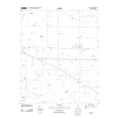 2011 Leighton2011 Print · USGSColbert County's agricultural heartland and the rising slopes of LaGrange Mountain are captured here during the early twenty-first century. Genealogists can trace family footprints through numerous small burial grounds like Aycock Cemetery and Jenkins Cemetery.
 - 2011 Map of Tuscumbia, 2011 Print
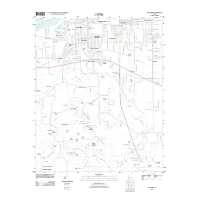 2011 Tuscumbia2011 Print · USGSMuscle Shoals and Tuscumbia are shown during a period of steady expansion at the start of the 2010s. Researchers can locate numerous family burial grounds and historical markers like the Cheatham Post Office, Gunn Cemetery, and Mounds Ford.
Showing maps 1-25 of 41
Top cities near Muscle Shoals
- Florence historical maps
- Russellville historical maps
- Sheffield historical maps
- Tuscumbia historical maps
- Underwood-Petersville historical maps
- Town Creek historical maps
See more
Top neighborhoods of Muscle Shoals
- Jackson Heights historical maps
- Cave Spring historical maps
- East Haven historical maps
- Highland Park historical maps
- Houston Corner historical maps
- Lakeview historical maps
See more
Frequently asked questions
- What are the different types of historical maps available for Muscle Shoals?
- What is the oldest map of Muscle Shoals?
- Where can I purchase historical maps of Muscle Shoals for my home or office?
- Where can I download high-res historical maps of Muscle Shoals?
- Are there historical topographic maps available for Muscle Shoals?
- Is there historical aerial imagery available for Muscle Shoals?
- Where are historical maps of Muscle Shoals sourced from?