2020s Maps of Cullman County, Alabama
Explore 60 historic maps of Cullman County from the 2020s. These maps offer a rare glimpse into what life looked like during the 2020s — showing old roads, neighborhoods, homes, and landmarks that have changed or disappeared over time.
Whether you're researching your family's past, planning a metal detecting trip, or studying how Cullman County's landscape evolved across the 2020s, these high-resolution maps are a powerful tool for exploring the history of this region.
- Focus on a specific era: All maps on this page are from the 2020s, giving you a focused view of this time period.
- See what’s changed: Compare century-old streets, trails, and buildings to today's modern landscape using overlays and satellite layers.
- Research with precision: Use these maps for genealogy, historical research, land use analysis, or educational projects.
- View, download, or print: Maps are fully viewable online in high resolution, and can be downloaded or printed for your own records.
Start exploring Cullman County's history through authentic maps from the 2020s. This is your window into the past.
Cullman County, AL maps
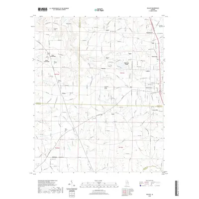
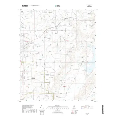
(60)- 2020 Map of Nectar, 2020 Print
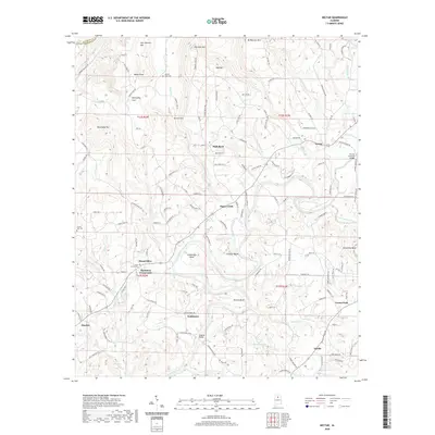 2020 Nectar2020 Print · USGSCovers Cullman County, including Hayden, Locust Fork, and other nearby areas
 - 2020 Map of Blount Springs, 2020 Print
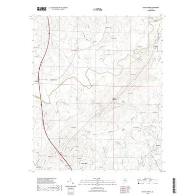 2020 Blount Springs2020 Print · USGSCovers Cullman County, including Hayden, Garden City, and other nearby areas
 - 2020 Map of Falkville, 2020 Print
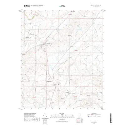
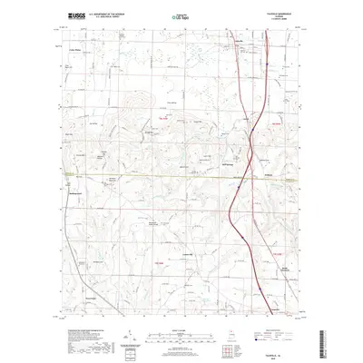 2020 Falkville2020 Print · USGSCovers Cullman County, including Falkville, West Point, and other nearby areas
 - 2020 Map of Arkadelphia, 2020 Print
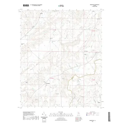 2020 Arkadelphia2020 Print · USGSCovers Cullman County, including Hayden, Colony, and other nearby areas
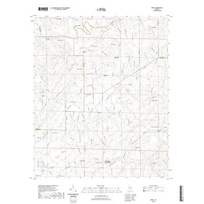
 - 2020 Map of Trimble, 2020 Print
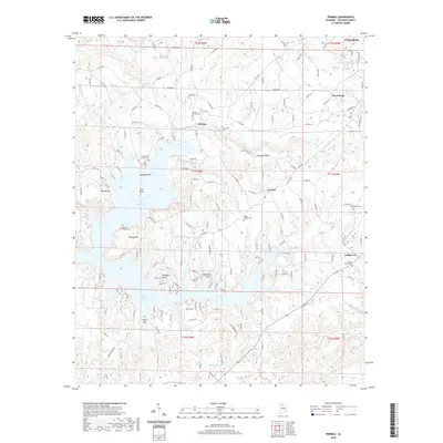 2020 Trimble2020 Print · USGSCovers Cullman County, including Cullman, Good Hope, and other nearby areas
 - 2020 Map of Cold Springs, 2020 Print
 2020 Cold Springs2020 Print · USGSCovers Cullman County, including Cold Springs, Powellville, and other nearby areas
 - 2020 Map of Creel, 2020 Print
 2020 Creel2020 Print · USGSCovers Cullman County, including Hayden, York Mountain, and other nearby areas
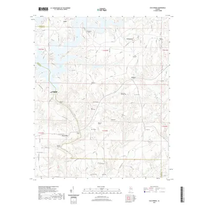
 - 2020 Map of Sipsey, 2020 Print
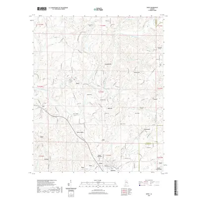 2020 Sipsey2020 Print · USGSCovers Cullman County, including Sumiton, Dora, and other nearby areas
 - 2020 Map of Blountsville, 2020 Print
 2020 Blountsville2020 Print · USGSCovers Cullman County, including Blountsville, Cleveland, and other nearby areas
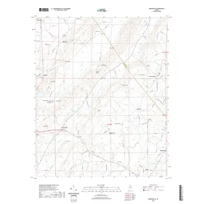
 - 2020 Map of Garden City, 2020 Print
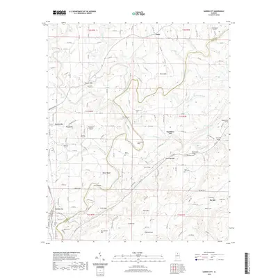 2020 Garden City2020 Print · USGSCovers Cullman County, including Hanceville, Garden City, and other nearby areas
 - 2020 Map of Lawrence Cove, 2020 Print
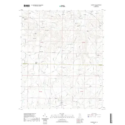 2020 Lawrence Cove2020 Print · USGSCovers Cullman County, including Baileyton, Eva, and other nearby areas
 - 2020 Map of Holly Pond, 2020 Print
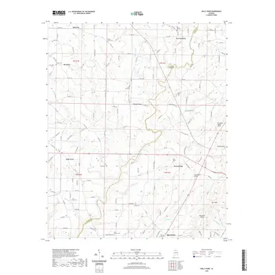 2020 Holly Pond2020 Print · USGSCovers Cullman County, including Holly Pond, Baileyton, and other nearby areas
 - 2020 Map of Hanceville, 2020 Print
 2020 Hanceville2020 Print · USGSCovers Cullman County, including Cullman, Hanceville, and other nearby areas
 - 2020 Map of Hulaco, 2020 Print
 2020 Hulaco2020 Print · USGSCovers Cullman County, including Arab, Baileyton, and other nearby areas
 - 2020 Map of Eva, 2020 Print
 2020 Eva2020 Print · USGSCovers Cullman County, including Cullman, Eva, and other nearby areas
 - 2020 Map of Brooksville, 2020 Print
 2020 Brooksville2020 Print · USGSCovers Cullman County, including Snead, Nixon Chapel, and other nearby areas
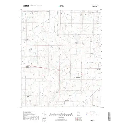
 - 2020 Map of Arab, 2020 Print
 2020 Arab2020 Print · USGSCovers Cullman County, including Arab, Diamond, and other nearby areas
 - 2020 Map of Simcoe, 2020 Print
 2020 Simcoe2020 Print · USGSCovers Cullman County, including Holly Pond, Baileyton, and other nearby areas
 - 2020 Map of Cullman, 2020 Print
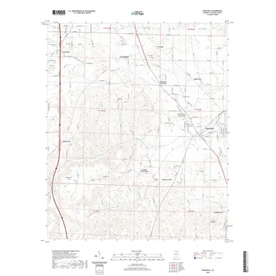
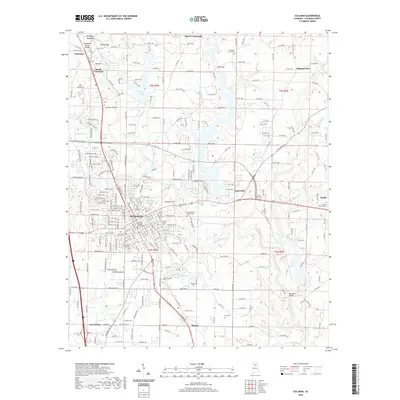 2020 Cullman2020 Print · USGSCovers Cullman County, including Cullman, Good Hope, and other nearby areas
 - 2020 Map of West Point, 2020 Print
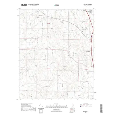 2020 West Point2020 Print · USGSCovers Cullman County, including Cullman, Good Hope, and other nearby areas
 - 2021 Map of Crane Hill, 2021 Print
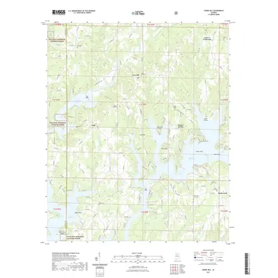 2021 Crane Hill2021 Print · USGSCovers Cullman County, including Sulphur Springs, Crane Hill, and other nearby areas
 - 2021 Map of Sunlight, 2021 Print
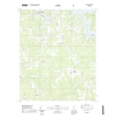 2021 Sunlight2021 Print · USGSCovers Cullman County, including Jasper, Lake Shore Subdivision, and other nearby areas
 - 2021 Map of Jones Chapel, 2021 Print
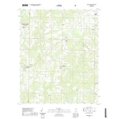 2021 Jones Chapel2021 Print · USGSCovers Cullman County, including Jones Chapel, Nesmith, and other nearby areas
 - 2021 Map of Massey, 2021 Print
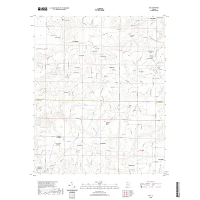
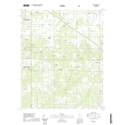 2021 Massey2021 Print · USGSCovers Cullman County, including Piney Grove, Clifty, and other nearby areas
 - 2024 Map of Nectar, 2024 Print
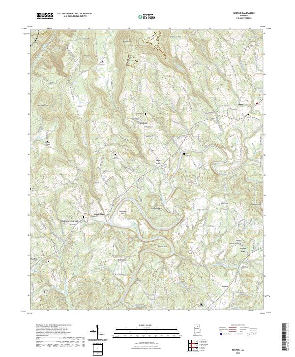 2024 Nectar2024 Print · USGSThe Locust Fork river valley in Blount County comes to life in this detailed survey of its bends and highland ridges. Researchers can trace family history through a dozen rural burial sites like Guinns Cove Cem and Nectar Cem, or locate old community hubs like Harkness Crossroads.
Showing maps 1-25 of 60
Top cities of Cullman County
- Cullman historical maps
- Hanceville historical maps
- Good Hope historical maps
- Holly Pond historical maps
- Baileyton historical maps
- West Point historical maps
See more
Frequently asked questions
- What are the different types of historical maps available for Cullman County?
- What is the oldest map of Cullman County?
- Where can I purchase historical maps of Cullman County for my home or office?
- Where can I download high-res historical maps of Cullman County?
- Are there historical topographic maps available for Cullman County?
- Is there historical aerial imagery available for Cullman County?
- Where are historical maps of Cullman County sourced from?