2010s Maps of Cullman County, Alabama
Explore 72 historic maps of Cullman County from the 2010s. These maps offer a rare glimpse into what life looked like during the 2010s — showing old roads, neighborhoods, homes, and landmarks that have changed or disappeared over time.
Whether you're researching your family's past, planning a metal detecting trip, or studying how Cullman County's landscape evolved across the 2010s, these high-resolution maps are a powerful tool for exploring the history of this region.
- Focus on a specific era: All maps on this page are from the 2010s, giving you a focused view of this time period.
- See what’s changed: Compare century-old streets, trails, and buildings to today's modern landscape using overlays and satellite layers.
- Research with precision: Use these maps for genealogy, historical research, land use analysis, or educational projects.
- View, download, or print: Maps are fully viewable online in high resolution, and can be downloaded or printed for your own records.
Start exploring Cullman County's history through authentic maps from the 2010s. This is your window into the past.
Cullman County, AL maps
(72)- 2011 Map of Lawrence Cove, 2011 Print
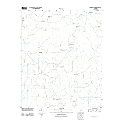 2011 Lawrence Cove2011 Print · USGSCullman County at the start of the twenty-first century reveals a network of tight-knit rural communities and family-named hollows. Genealogists can trace family roots through numerous sites like Harmony Cemetery, Daniels Chapel, and the settlement of Fairview.
 - 2011 Map of Brooksville, 2011 Print
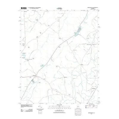 2011 Brooksville2011 Print · USGSBlount County at the start of the 2010s reveals a landscape of ridge-top gaps and valley settlements. Genealogists can trace family roots through numerous local burial sites like Sivley Cemetery and Dickson Cemetery, or explore the rural hubs of Bright Star and McLarty.
 - 2011 Map of Arab, 2011 Print
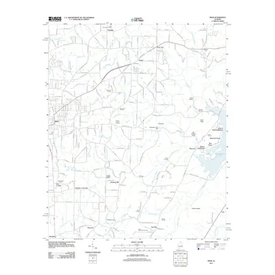 2011 Arab2011 Print · USGSThe Arab area and its surrounding ridgelines are captured here in the early twenty-first century, showing a mix of established rural crossroads and newer lakeside developments. Researchers can trace family history through numerous local sites like Johnsons Mill, Thrasher Crossroads, and the Brashier Chapel Cemetery.
 - 2011 Map of Cullman, 2011 Print
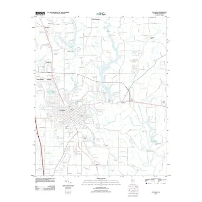 2011 Cullman2011 Print · USGSCullman and the surrounding highlands of Cullman County are shown here as they appeared in the early 21st century. Genealogists and local historians can locate several family and community landmarks, from the Saint Bernard Abbey Cemetery to the Vinemont Post Office.
 - 2011 Map of Trimble, 2011 Print
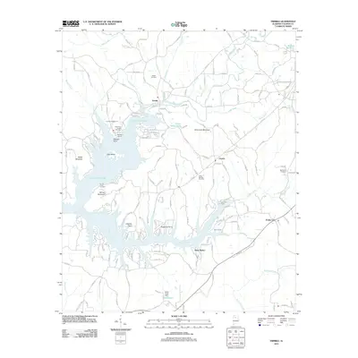 2011 Trimble2011 Print · USGSCullman County life centers around the winding reaches of Lewis Smith Lake in the early twenty-first century. Genealogists and local historians can locate several family cemeteries, such as Shedd Cemetery, alongside landmarks like Speegles Marina and Trimble.
 - 2011 Map of Crane Hill, 2011 Print
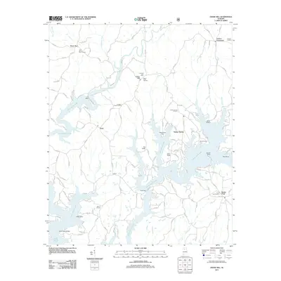 2011 Crane Hill2011 Print · USGSCullman County’s intricate lakefront and rural communities are detailed in this 2010s survey. Researchers can trace family history through several local burial sites like Mount Hope Cemetery and Livingston Chapel Cemetery, or locate the Crane Hill Post Office.
 - 2011 Map of Blountsville, 2011 Print
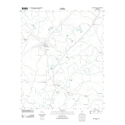 2011 Blountsville2011 Print · USGSBlountsville and the surrounding Blount County countryside are captured here in the early twenty-first century as a network of valley settlements and ridges. Genealogists and local historians can locate family landmarks such as the Mount Joy Cemetery, Fowler Spring, and Mountain Grove Church.
 - 2011 Map of Holly Pond, 2011 Print
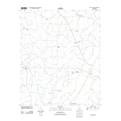 2011 Holly Pond2011 Print · USGSIn the Cullman County countryside at the start of the 2010s, this area shows a landscape defined by the Mulberry Fork and its many branches. Genealogists can trace family sites at Eidson Chapel Cemetery, Brooklyn, and Rock Springs Cemetery.
 - 2011 Map of Cold Springs, 2011 Print
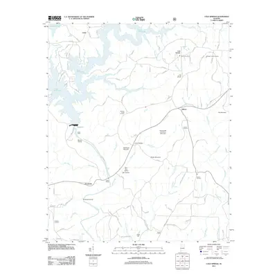 2011 Cold Springs2011 Print · USGSCullman County in the early twenty-first century is defined by the expansive Lewis Smith Lake and its winding rural corridors. Researchers can trace family history through several burial grounds and small settlements like Wilburn, Antioch Cemetery, and the Bremen Post Office.
 - 2011 Map of Sunlight, 2011 Print
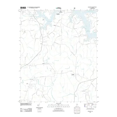 2011 Sunlight2011 Print · USGSWalker County at the beginning of the twenty-first century shows a landscape where rural crossroads meet modern lakeside development. Researchers can trace family history at Tidwell Cemetery or Mount Vernon Cemetery and locate older settlements like Sunlight and Marylee.
 - 2011 Map of Creel, 2011 Print
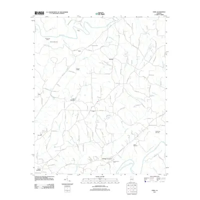 2011 Creel2011 Print · USGSThe forks of the river and mountain ridges defined this Alabama landscape in the early twenty-first century. Researchers can trace the rural road network connecting Sloan, Corner, and Red Hill or locate landmarks like Harmony Cemetery.
 - 2011 Map of Blount Springs, 2011 Print
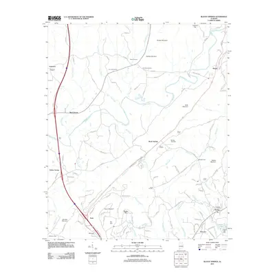 2011 Blount Springs2011 Print · USGSBlount County at the turn of the twenty-first century shows a landscape where traditional family settlements meet modern growth. Genealogists can trace deep roots at New Hope Cemetery and Moore Cemetery, or locate landmarks like the Blount Tunnel and Woods Lake Dam.
 - 2011 Map of Sipsey, 2011 Print
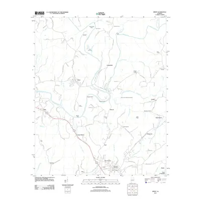 2011 Sipsey2011 Print · USGSWalker County at the start of the 2010s shows a landscape deeply shaped by the Sipsey Fork and Mulberry Fork. Researchers can trace family-named landmarks and old burial sites like Drummond Cemetery, Phillips Shoals, and the settlement of Debardeleben.
 - 2011 Map of Hanceville, 2011 Print
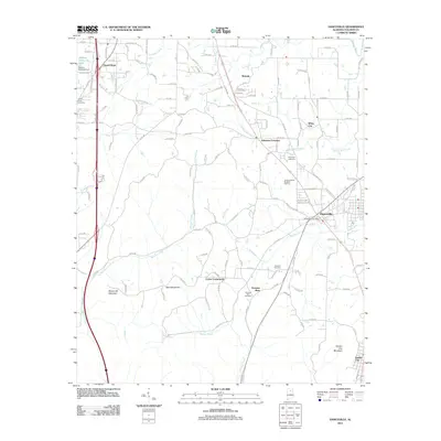 2011 Hanceville2011 Print · USGSCullman County at the start of the 2010s reveals a landscape of established mountain communities and winding creek valleys. Researchers can locate several historic burial sites like Laodicea Cemetery and trace the terrain around Stout Mountain and Hanceville.
 - 2011 Map of Simcoe, 2011 Print
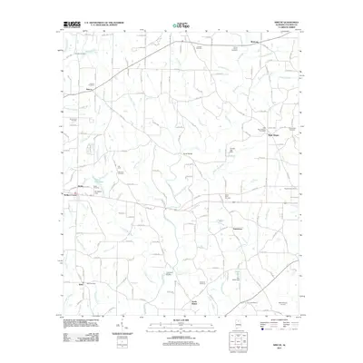 2011 Simcoe2011 Print · USGSCullman County agricultural life is captured here in the early twenty-first century, centered on the Duck River and its many branches. Genealogists will find a wealth of local history at Welti Cemetery, Oak Level Cemetery, and the settlement of Baileytown.
 - 2011 Map of Garden City, 2011 Print
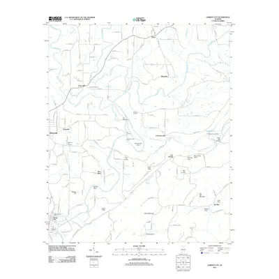 2011 Garden City2011 Print · USGSGarden City and Hanceville are captured here during the early twenty-first century as the winding Mulberry Fork shapes the valley landscape. Researchers can locate family landmarks and rural hubs like Chamblees Mill, Mount Zion Cemetery, and Steppville.
 - 2011 Map of Eva, 2011 Print
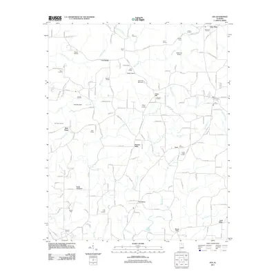 2011 Eva2011 Print · USGSCullman County at the start of the 2010s shows a landscape of high ridges and deep hollows interspersed with long-standing rural communities. Researchers can trace family history through numerous burial sites like Hamby Chapel or locate landmarks such as Cook Bridge and Lake Catoma.
 - 2011 Map of Hulaco, 2011 Print
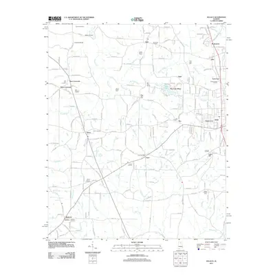 2011 Hulaco2011 Print · USGSMarshall County rural life is captured in detail here during the early 2010s, showing a landscape defined by farming and small communities. Genealogists can trace family landmarks like Ryan Memorial Gardens, Hebron Cemetery, and the John H Burden Dairy.
 - 2011 Map of West Point, 2011 Print
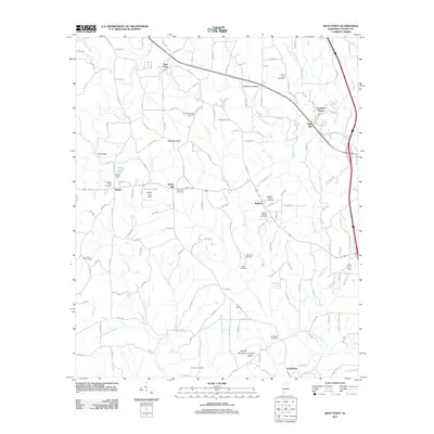 2011 West Point2011 Print · USGSCullman County agricultural and community life are well-documented here in the early twenty-first century. Genealogists and historians can locate numerous rural burial sites like Pilgrims Rest Cemetery and landmarks such as the Grandview Lookout Tower.
 - 2011 Map of Falkville, 2011 Print
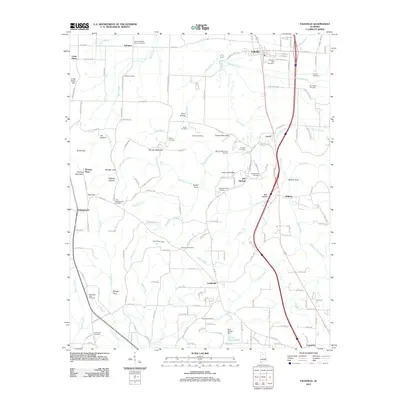 2011 Falkville2011 Print · USGSNorth-central Alabama in the early 2010s shows a landscape where modern transit corridors meet deep-rooted family history. Researchers can trace ancestral sites at Falkville City Cemetery and Friendship Cemetery, or locate rural landmarks like Zeke Hollow Camp Ground and Paul Rigsby Dam.
 - 2011 Map of Massey, 2011 Print
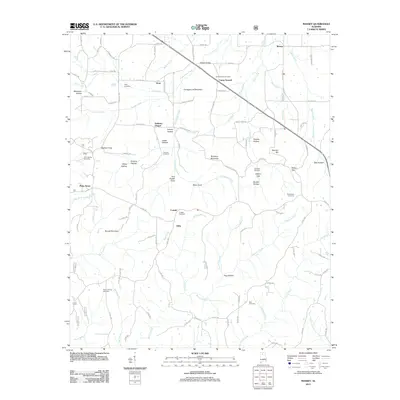 2011 Massey2011 Print · USGSNorth Alabama's rural uplands are mapped here in the early twenty-first century, showcasing a landscape of small communities and family landmarks. Researchers can trace local lineages through Cave Spring Cemetery, Andrews Chapel, and several coves like Tom Powell Cove.
 - 2011 Map of Jones Chapel, 2011 Print
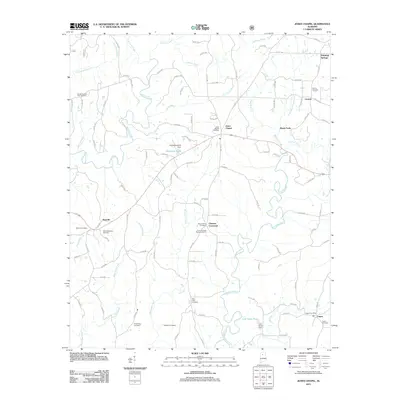 2011 Jones Chapel2011 Print · USGSCullman County's rural communities like Jones Chapel and Nesmith are shown in detail during the early twenty-first century. Genealogists can trace family roots through numerous burial sites, including Sardis Number Two Cemetery and the Logan Cemetery.
 - 2011 Map of Arkadelphia, 2011 Print
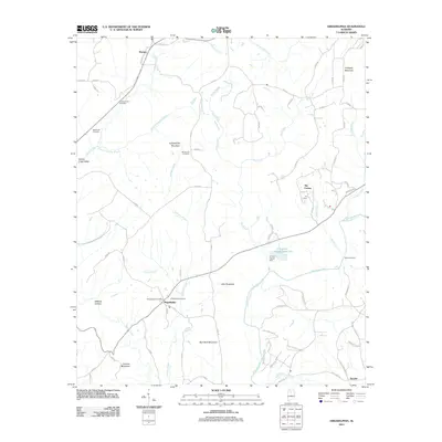 2011 Arkadelphia2011 Print · USGSArkadelphia and the surrounding Blount County highlands are documented here during the early twenty-first century. Researchers can trace local heritage through sites like Dorsey Creek Cemetery, the Baltimore Ford, and the settlement at The Colony.
 - 2011 Map of Nectar, 2011 Print
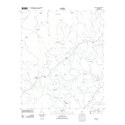 2011 Nectar2011 Print · USGSThe Locust Fork river corridor defines this Blount County terrain as it appeared in the early 2000s, carving deep bends through the hills. Genealogists and local historians can trace family roots near Nectar Covered Bridge, Guinns Cove Cemetery, and Harkness Crossroads.
 - 2014 Map of Simcoe, 2014 Print
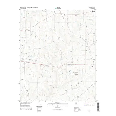 2014 Simcoe2014 Print · USGSCullman County at the start of the twenty-first century reveals a landscape of enduring rural communities and family-named landmarks. Trace local history through numerous burial sites like Bethel Cem and small settlements including Holly Pond and Welti.
Showing maps 1-25 of 72
Top cities of Cullman County
- Cullman historical maps
- Hanceville historical maps
- Good Hope historical maps
- Holly Pond historical maps
- Baileyton historical maps
- West Point historical maps
See more
Frequently asked questions
- What are the different types of historical maps available for Cullman County?
- What is the oldest map of Cullman County?
- Where can I purchase historical maps of Cullman County for my home or office?
- Where can I download high-res historical maps of Cullman County?
- Are there historical topographic maps available for Cullman County?
- Is there historical aerial imagery available for Cullman County?
- Where are historical maps of Cullman County sourced from?