Old Maps of Fairview, Alabama for Academic Research
Study the evolution of Fairview with 23 high-resolution historic maps. Whether you're teaching, researching, or modeling changes in land use, these maps provide essential visual documentation of urban, environmental, and geographic change.
- Analyze long-term change: Track patterns in development, transportation, and natural features.
- Ideal for environmental or urban studies: Support academic projects with primary historical map data.
- Use in the classroom or lab: Educators and researchers rely on these maps to bring historical context to life.
These maps are a powerful tool for teaching, research, and visualizing how Fairview has changed over the decades.
Fairview, AL maps
(23)- 1888 Map of Cullman
 1888 Cullman1888 Print · USGSCullman and Morgan counties are shown in the late 1880s as the railroad fueled growth across the Sand Mountain region. Genealogists can trace early homesteads and commerce at Sobotka's Mill, Fort Bluff, and the riverside town of Blountsville.
 - 1892 Map of Cullman
 1892 Cullman1892 Print · USGSNorth-central Alabama's development is centered on the railroad corridor and rugged plateau country in the late nineteenth century. Genealogists can trace family footprints at Sobotka's Mill, along the historic Stout's Road, or near the remote Newsome Sinks.4 unique versions available
 - 1936 Map of Lawrence Cove
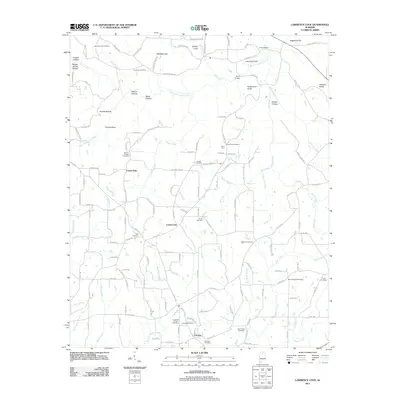
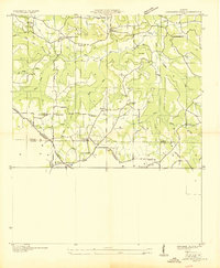 1936 Lawrence Cove1936 Print · USGSMorgan County rural life is captured here in the mid-1930s, showing a landscape of small farming communities and ridge-top churches. Trace the local genealogy of Lawrence Cove through landmarks like Lawrence Cove Sch, Pine Burr Ch, and Bethel Ch.
 - 1949 Map of Lawrence Cove, 1977 Print
 1949 Lawrence Cove1977 Print · USGSBrindley Mountain and the Tennessee Valley Divide define the rural landscape of Morgan and Cullman counties just after the war. Local researchers can trace family landmarks like the Lawrence Cove School, Canaan Cem, and the high concentration of country churches including Etha Ch and Bethel Ch.
 - 1951 Map of Lawrence Cove
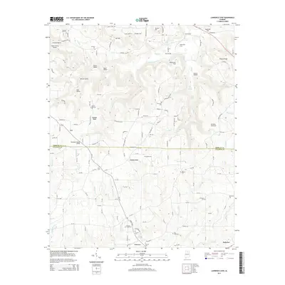
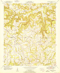 1951 Lawrence Cove1951 Print · USGSThe Morgan and Cullman county line comes alive in the early fifties, showing a landscape of upland ridges and creek-cut hollows. Genealogists can trace family footprints through numerous country churches like Daniel Chapel and Lystra Ch, or locate the old Lawrence Cove School.2 unique versions available
 - 1956 Map of Gadsden, 1966 Print
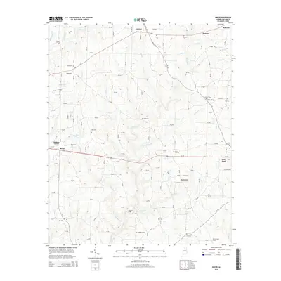
 1956 Gadsden1966 Print · USGSNorth Alabama in the mid-1950s shows a region transformed by river engineering and federal industry. Genealogists and local historians can trace the development of the Tennessee Valley through the growth of Huntsville, the sprawling Redstone Arsenal, and the expansive Guntersville Lake.3 unique versions available
 - 1958 Map of Gadsden
 1958 Gadsden1958 Print · USGSNorth Alabama comes alive in the late 1950s as the Tennessee Valley Authority’s massive river projects and the rise of the space industry reshaped the landscape. Researchers can trace the mid-century footprints of Huntsville, Redstone Arsenal, and the riverside rail networks of the Southern railroad.
 - 1958 Map of Simcoe, 1960 Print
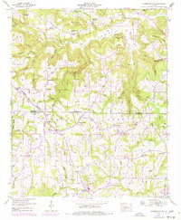
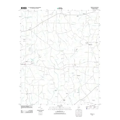
 1958 Simcoe1960 Print · USGSCullman County’s rural communities are captured here in the late fifties as small crossroads and family farms defined the landscape. Genealogists can locate family landmarks like Welti Cem or trace the early foundations of Simcoe and Berlin.3 unique versions available
 - 1960 Map of Gadsden
 1960 Gadsden1960 Print · USGSNorthern Alabama in the mid-1950s is defined by the mighty Tennessee River and its massive reservoirs. Trace the development of Huntsville and Redstone Arsenal or explore the vast William B Bankhead National Forest.2 unique versions available
 - 1963 Map of Gadsden
 1963 Gadsden1963 Print · USGSNorthern Alabama underwent a dramatic mid-century transformation as the Tennessee Valley became a hub for defense and industry. Researchers can trace the development of the Redstone Arsenal, the route of the Natchez Trace Parkway, and long-standing rail lines like the Southern Railway.
 - 1984 Map of Guntersville, 1985 Print
 1984 Guntersville1985 Print · USGSNorthern Alabama at the start of the eighties shows a landscape shaped by massive TVA impoundments and a robust rail network. Genealogists and historians can trace family land across Brindley Mountain or near old rail stops on the Louisville and Nashville RR and Southern Ry.2 unique versions available
 - 2011 Map of Lawrence Cove, 2011 Print
 2011 Lawrence Cove2011 Print · USGSCovers Fairview, including Baileyton, Eva, and other nearby areas
 - 2011 Map of Simcoe, 2011 Print
 2011 Simcoe2011 Print · USGSCovers Fairview, including Holly Pond, Baileyton, and other nearby areas
 - 2014 Map of Simcoe, 2014 Print
 2014 Simcoe2014 Print · USGSCovers Fairview, including Holly Pond, Baileyton, and other nearby areas
 - 2014 Map of Lawrence Cove, 2014 Print
 2014 Lawrence Cove2014 Print · USGSCovers Fairview, including Baileyton, Eva, and other nearby areas
 - 2018 Map of Simcoe, 2018 Print
 2018 Simcoe2018 Print · USGSCovers Fairview, including Holly Pond, Baileyton, and other nearby areas
 - 2018 Map of Lawrence Cove, 2018 Print
 2018 Lawrence Cove2018 Print · USGSCovers Fairview, including Baileyton, Eva, and other nearby areas
 - 2020 Map of Lawrence Cove, 2020 Print
 2020 Lawrence Cove2020 Print · USGSCovers Fairview, including Baileyton, Eva, and other nearby areas
 - 2020 Map of Simcoe, 2020 Print
 2020 Simcoe2020 Print · USGSCovers Fairview, including Holly Pond, Baileyton, and other nearby areas
 - 2024 Map of Simcoe, 2024 Print
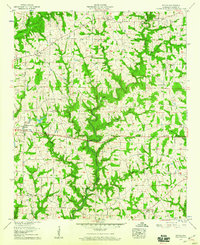
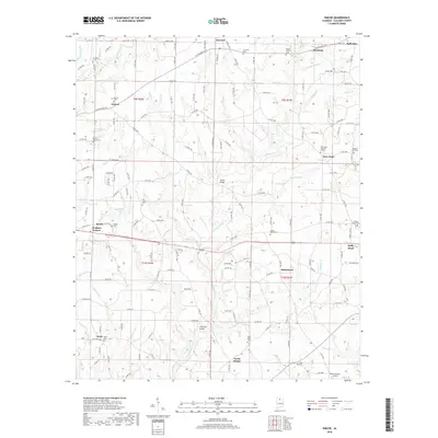
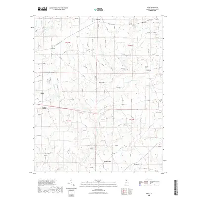
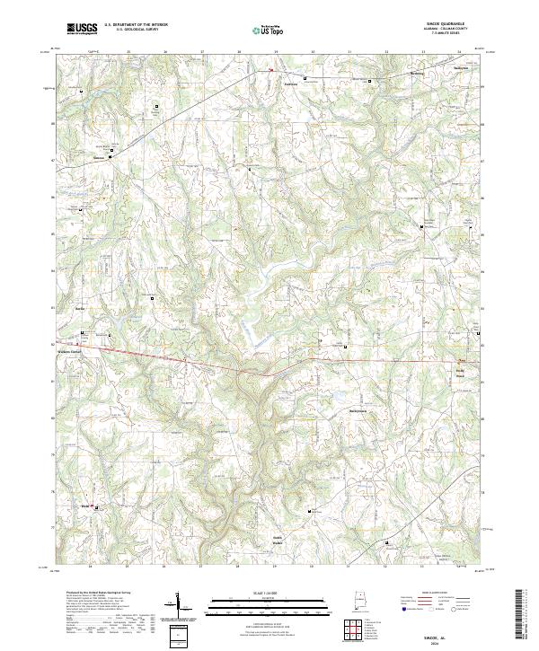 2024 Simcoe2024 Print · USGSCullman County's rolling hills and rural crossroads come into focus in this contemporary survey of the Duck River valley. Genealogists and local historians can trace family ties through numerous sites like Simcoe Baptist Church Cem and Oak Level Cem.
 - 2024 Map of Lawrence Cove, 2024 Print
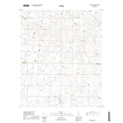
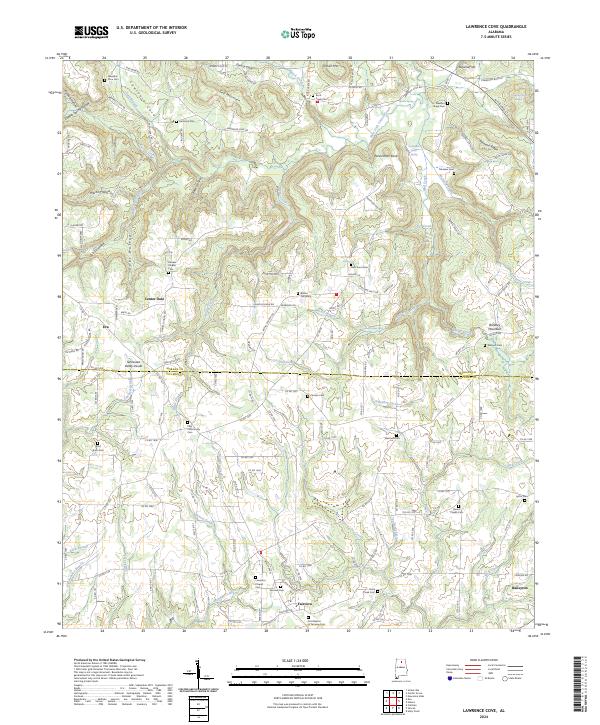 2024 Lawrence Cove2024 Print · USGSMorgan and Cullman counties meet along the Tennessee Valley Divide in this detailed modern survey. Genealogists can trace family roots through numerous local sites like Old Enon Cemetery, Center Dale, and Lawrence Chapel Cemetery.
 - 2026 Map of Lawrence Cove, 2026 Print
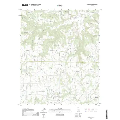 2026 Lawrence Cove2026 Print · USGSCovers Fairview, including Baileyton, Eva, and other nearby areas
 - 2026 Map of Simcoe, 2026 Print
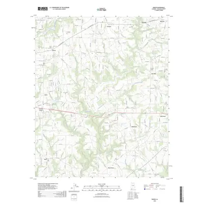 2026 Simcoe2026 Print · USGSCovers Fairview, including Holly Pond, Baileyton, and other nearby areas
End of results
Showing maps 1-23 of 23
Top cities near Fairview
- Cullman historical maps
- Hartselle historical maps
- Arab historical maps
- Hanceville historical maps
- Good Hope historical maps
- Blountsville historical maps
See more
Frequently asked questions
- What are the different types of historical maps available for Fairview?
- What is the oldest map of Fairview?
- Where can I purchase historical maps of Fairview for my home or office?
- Where can I download high-res historical maps of Fairview?
- Are there historical topographic maps available for Fairview?
- Is there historical aerial imagery available for Fairview?
- Where are historical maps of Fairview sourced from?