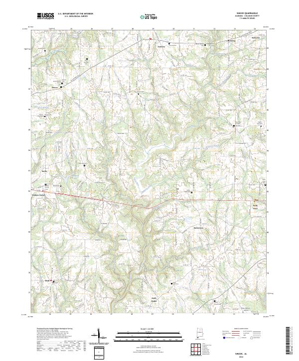
2024 Map of Simcoe
USGS Topo · Published 2024About this map
Duck River and its numerous tributaries, including Henderson Branch and Indian Creek, carve a rolling landscape across this portion of Cullman County. The area is defined by a series of small agricultural and residential clusters, with Simcoe, Fairview, and Holly Pond serving as local anchors. The density of family and community burial grounds, such as Kritner Family Cem and Antioch Cem, points to a long-established rural population deeply connected to these specific hills and valleys.
Find a feature on this map
180 named features on this map. Tap any name to fly to it.
Don’t see what you’re looking for? This feature index may not catch every label — zoom into the map to look around manually.
Map Details
Editions of this 2024 Simcoe Map
This is the sole edition of this map. No revisions or reprints were ever made.
Other maps of this area

1888 · Cullman
USGS Topo · 1:125,000

1892 · Cullman
USGS Topo · 1:125,000

1936 · Hulaco
USGS Topo · 1:24,000

1936 · Eva
USGS Topo · 1:24,000

1936 · Lawrence Cove
USGS Topo · 1:24,000

1936 · Holly Pond
USGS Topo · 1:24,000
1949 · Hulaco
USGS Topo · 1:24,000
1949 · Lawrence Cove
USGS Topo · 1:24,000
1949 · Eva
USGS Topo · 1:24,000
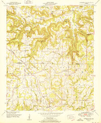
1951 · Lawrence Cove
USGS Topo · 1:24,000