Old Maps of Good Hope, Alabama for Academic Research
Study the evolution of Good Hope with 33 high-resolution historic maps. Whether you're teaching, researching, or modeling changes in land use, these maps provide essential visual documentation of urban, environmental, and geographic change.
- Analyze long-term change: Track patterns in development, transportation, and natural features.
- Ideal for environmental or urban studies: Support academic projects with primary historical map data.
- Use in the classroom or lab: Educators and researchers rely on these maps to bring historical context to life.
These maps are a powerful tool for teaching, research, and visualizing how Good Hope has changed over the decades.
Good Hope, AL maps
(33)- 1888 Map of Cullman
 1888 Cullman1888 Print · USGSCullman and Morgan counties are shown in the late 1880s as the railroad fueled growth across the Sand Mountain region. Genealogists can trace early homesteads and commerce at Sobotka's Mill, Fort Bluff, and the riverside town of Blountsville.
 - 1892 Map of Cullman
 1892 Cullman1892 Print · USGSNorth-central Alabama's development is centered on the railroad corridor and rugged plateau country in the late nineteenth century. Genealogists can trace family footprints at Sobotka's Mill, along the historic Stout's Road, or near the remote Newsome Sinks.4 unique versions available
 - 1956 Map of Gadsden, 1966 Print
 1956 Gadsden1966 Print · USGSNorth Alabama in the mid-1950s shows a region transformed by river engineering and federal industry. Genealogists and local historians can trace the development of the Tennessee Valley through the growth of Huntsville, the sprawling Redstone Arsenal, and the expansive Guntersville Lake.3 unique versions available
 - 1957 Map of Cullman, 1960 Print
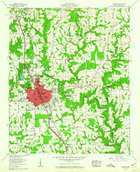 1957 Cullman1960 Print · USGSCullman and the surrounding plateaus of Brindley Mountain are shown here in the late fifties as the city expanded along its historic rail and highway corridors. Genealogists and local historians can locate St Bernard College, the Ave Maria Grotto, and numerous family-named landmarks like Pfal Cem and Kelly Sch.5 unique versions available
 - 1958 Map of Gadsden
 1958 Gadsden1958 Print · USGSNorth Alabama comes alive in the late 1950s as the Tennessee Valley Authority’s massive river projects and the rise of the space industry reshaped the landscape. Researchers can trace the mid-century footprints of Huntsville, Redstone Arsenal, and the riverside rail networks of the Southern railroad.
 - 1958 Map of West Point, 1960 Print
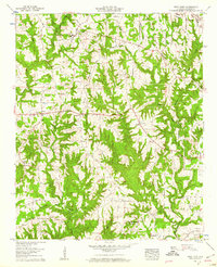 1958 West Point1960 Print · USGSWest Point and the surrounding Cullman County uplands are captured here in the late fifties, showing a landscape of small farms and ridge-top roads. Researchers can trace family roots through numerous sites like Bethel Ch, Mt Nebo Cem, and the Grandview Lookout Tower.3 unique versions available
 - 1960 Map of Gadsden
 1960 Gadsden1960 Print · USGSNorthern Alabama in the mid-1950s is defined by the mighty Tennessee River and its massive reservoirs. Trace the development of Huntsville and Redstone Arsenal or explore the vast William B Bankhead National Forest.2 unique versions available
 - 1963 Map of Gadsden
 1963 Gadsden1963 Print · USGSNorthern Alabama underwent a dramatic mid-century transformation as the Tennessee Valley became a hub for defense and industry. Researchers can trace the development of the Redstone Arsenal, the route of the Natchez Trace Parkway, and long-standing rail lines like the Southern Railway.
 - 1969 Map of Hanceville
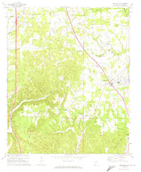 1969 Hanceville1969 Print · USGSCullman County during the late 1960s shows a transition from rural crossroads to more established communities along the rail line. Researchers can trace family sites at Good Hope Cem, Johnsons Crossing, and the Stout Mtn Ch.4 unique versions available
 - 1969 Map of Trimble, 1973 Print
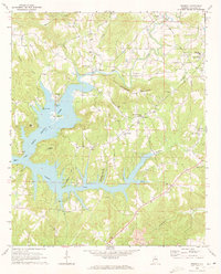 1969 Trimble1973 Print · USGSCullman County's landscape appears in the late sixties as the rising waters of Lewis Smith Lake redefined the local geography. Researchers can trace ancestral roots through sites like Sharon Grove Cem, Shedd Cem, and the community of Trimble.4 unique versions available
 - 1984 Map of Guntersville, 1985 Print
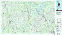 1984 Guntersville1985 Print · USGSNorthern Alabama at the start of the eighties shows a landscape shaped by massive TVA impoundments and a robust rail network. Genealogists and historians can trace family land across Brindley Mountain or near old rail stops on the Louisville and Nashville RR and Southern Ry.2 unique versions available
 - 2011 Map of Cullman, 2011 Print
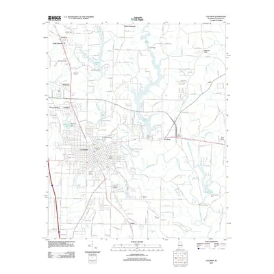 2011 Cullman2011 Print · USGSCullman and the surrounding highlands of Cullman County are shown here as they appeared in the early 21st century. Genealogists and local historians can locate several family and community landmarks, from the Saint Bernard Abbey Cemetery to the Vinemont Post Office.
 - 2011 Map of Trimble, 2011 Print
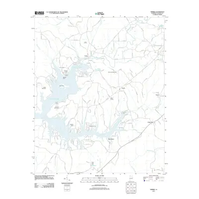 2011 Trimble2011 Print · USGSCullman County life centers around the winding reaches of Lewis Smith Lake in the early twenty-first century. Genealogists and local historians can locate several family cemeteries, such as Shedd Cemetery, alongside landmarks like Speegles Marina and Trimble.
 - 2011 Map of Hanceville, 2011 Print
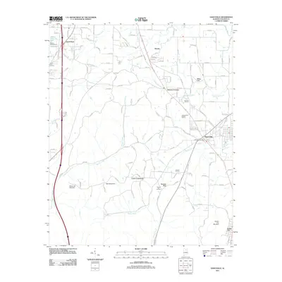 2011 Hanceville2011 Print · USGSCullman County at the start of the 2010s reveals a landscape of established mountain communities and winding creek valleys. Researchers can locate several historic burial sites like Laodicea Cemetery and trace the terrain around Stout Mountain and Hanceville.
 - 2011 Map of West Point, 2011 Print
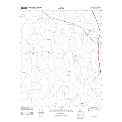 2011 West Point2011 Print · USGSCullman County agricultural and community life are well-documented here in the early twenty-first century. Genealogists and historians can locate numerous rural burial sites like Pilgrims Rest Cemetery and landmarks such as the Grandview Lookout Tower.
 - 2014 Map of Hanceville, 2014 Print
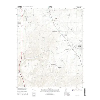 2014 Hanceville2014 Print · USGSCullman County during the mid-2010s shows a landscape where education and small-town commerce meet the wooded foothills. Genealogists can trace family landmarks and burial sites like Good Hope Cem and Laodicea Cem, or locate long-standing communities such as Johnsons Crossing and White City.
 - 2014 Map of West Point, 2014 Print
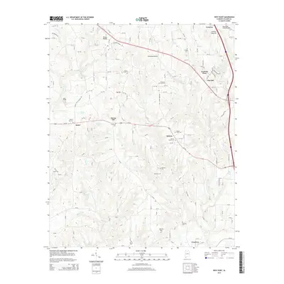 2014 West Point2014 Print · USGSCullman County at the start of the 2010s shows a landscape of ridge-top communities and winding creek valleys. Genealogists can trace family names through numerous rural burial sites including Missionary Grove Cem, Emeus Cem, and Pullen Cem.
 - 2014 Map of Cullman, 2014 Print
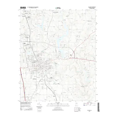 2014 Cullman2014 Print · USGSCullman and its surrounding Alabama hill country are captured here during a period of steady suburban and rural development. Researchers can locate numerous family and community landmarks, including the Saint Bernard Abbey Cemetery, Brindley Mountain, and the historic Cullman City Cemetery.
 - 2014 Map of Trimble, 2014 Print
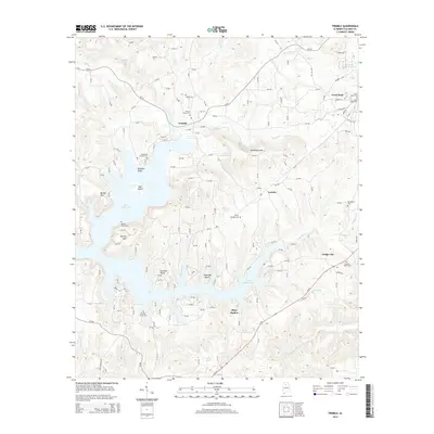 2014 Trimble2014 Print · USGSCullman County’s winding lakefront and rural settlements are captured here in the early twenty-first century. Researchers can trace family history through numerous burial sites like Bowmans Chapel Cem and Valley Springs Cem near the shores of Lewis Smith Lake.
 - 2018 Map of Cullman, 2018 Print
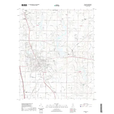 2018 Cullman2018 Print · USGSCullman and its neighboring plateaus are captured here in the late twenty-teens, showing the city's growth along the historical rail corridor. Researchers can locate family sites and local landmarks like Saint Bernard Abbey Cem, Holmes Gap, and the communities of South Vinemont and East Point.
 - 2018 Map of Hanceville, 2018 Print
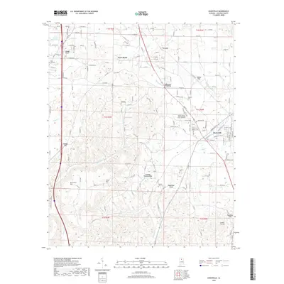 2018 Hanceville2018 Print · USGSCullman County near the college campus at Hanceville is captured here in the late twenty-tens. Local historians can trace family roots through numerous sites like Good Hope Cem, Laodicea Cem, and the old rail corridor of CSX Transportation.
 - 2018 Map of Trimble, 2018 Print
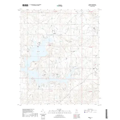 2018 Trimble2018 Print · USGSCullman County's rolling hills meet the sprawling waters of Lewis Smith Lake in this modern survey. Genealogists and researchers can trace local family landmarks through historic sites like Sharon Grove Ch, Bowmans Chapel Cem, and Kinneys Grove Cem.
 - 2018 Map of West Point, 2018 Print
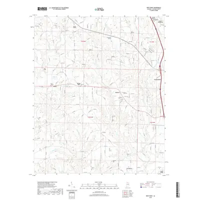 2018 West Point2018 Print · USGSCullman County’s upland farms and small rural communities are captured here in the late twenty-tens. Genealogists and local historians can trace family locations near Bethsadia Cem, Pilgrims Rest Cem, and the prominent slopes of Brindley Mountain.
 - 2020 Map of Trimble, 2020 Print
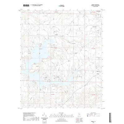 2020 Trimble2020 Print · USGSCullman County's landscape in the early twenty-first century is defined by the expansive inlets of Lewis Smith Lake and the rural communities that surround it. Genealogists can trace family names at Kinneys Grove Cem, Shedd Cem, or the Bowmans Chapel Cem near Trimble.
 - 2020 Map of Hanceville, 2020 Print
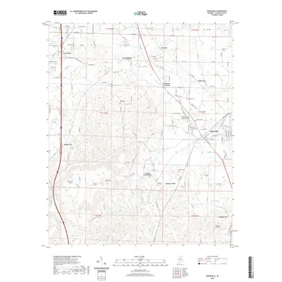 2020 Hanceville2020 Print · USGSCullman County is shown at a time of modern growth alongside its historic crossroads during the 2020s. Researchers can locate family landmarks like Laodicea Cem, the George C Wallace State Community College, and the terrain around Stout Mtn.
Showing maps 1-25 of 33
Top cities near Good Hope
- Cullman historical maps
- Hanceville historical maps
- Hayden historical maps
- Locust Fork historical maps
- Holly Pond historical maps
- Eva historical maps
See more
Frequently asked questions
- What are the different types of historical maps available for Good Hope?
- What is the oldest map of Good Hope?
- Where can I purchase historical maps of Good Hope for my home or office?
- Where can I download high-res historical maps of Good Hope?
- Are there historical topographic maps available for Good Hope?
- Is there historical aerial imagery available for Good Hope?
- Where are historical maps of Good Hope sourced from?