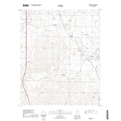
2020 Map of Hanceville
USGS Topo · Published 2020About this map
Hanceville and the George C Wallace State Community College-Hanceville anchor this portion of southern Cullman County, where the landscape transitions from the developed corridors of I-65 to the heights of Stout Mtn and Buttermilk Mtn. The survey details a network of rural communities including Good Hope, Dodge City, and Garden City, each connected by a dense grid of county roads that navigate the local hydrology of the Broglen River and Mud Cr.
Find a feature on this map
149 named features on this map. Tap any name to fly to it.
Don’t see what you’re looking for? This feature index may not catch every label — zoom into the map to look around manually.
Map Details
Editions of this 2020 Hanceville Map
This is the sole edition of this map. No revisions or reprints were ever made.
Other maps of this area

1888 · Cullman
USGS Topo · 1:125,000

1889 · Birmingham
USGS Topo · 1:125,000

1892 · Cullman
USGS Topo · 1:125,000

1892 · Birmingham
USGS Topo · 1:125,000

1895 · Birmingham
USGS Topo · 1:125,000

1907 · Birmingham
USGS Topo · 1:125,000

1951 · Arkadelphia
USGS Topo · 1:24,000

1951 · Blount Springs
USGS Topo · 1:24,000

1953 · Birmingham
USGS Topo · 1:250,000

1956 · Birmingham
USGS Topo · 1:250,000