Old Maps of Rainsville, Alabama for Metal Detecting
Plan your next treasure hunt with 46 historic maps of Rainsville. Find old homesites, ghost towns, trails, and gathering spots that may be lost to time — perfect for identifying promising metal detecting locations.
- Locate forgotten sites: Uncover places like long-lost settlements, abandoned rail lines, or gathering spots.
- Plan better hunts: Use map overlays combined with LiDAR or satellite views to narrow in on historically rich areas.
- Made for detectorists: Thousands of hobbyists use these maps to discover relics, coins, and hidden history.
Use these historic maps to boost your research and find new opportunities beneath the surface of Rainsville.
Rainsville, AL maps
(46)- 1886 Map of Stevenson
 1886 Stevenson1886 Print · USGSNortheast Alabama at the peak of the railroad era shows a landscape tied to the river and the rails. Genealogists can trace family landmarks like Coffey's Store or locate river crossings such as Caperton Ferry and Snodgrass Ferry.
 - 1892 Map of Stevenson
 1892 Stevenson1892 Print · USGSNortheast Alabama and the Tennessee border in the 1890s reveal a landscape of mountain coves and vital river crossings. Genealogists and historians can trace rail junctions at Stevenson, river landings like Coffey's Ferry, and landmarks like Nickajack Cave.
 - 1893 Map of Fort Payne
 1893 Fort Payne1893 Print · USGSNortheast Alabama is shown here in the late nineteenth century as the rail network transformed the valley floor. Genealogists and historians can trace family-named crossroads like Hoge's X Roads and vital river crossings including Coker Ferry and Sewell Ferry.
 - 1895 Map of Stevenson
 1895 Stevenson1895 Print · USGSThe Tennessee River valley and surrounding plateaus were a hub of rail and river commerce at the close of the century. Genealogists can trace family crossings at Island Creek Ferry or locate old communities like Bellefonte, Stevenson, and Valley Head.6 unique versions available
 - 1898 Map of Fort Payne, 1964 Print
 1898 Fort Payne1964 Print · USGSDeKalb and Cherokee counties in the late 1890s are defined by the steep ridges of Lookout Mountain and a bustling network of river ferries. Genealogists can trace family roots through numerous river crossings like Hardwick Ferry and early industrial sites such as Sloan Mill or Abernathy Mill.
 - 1900 Map of Fort Payne
 1900 Fort Payne1900 Print · USGSNortheast Alabama is defined by its deep ridges and river valleys in the late nineteenth century. Researchers can trace the era's ferry network across the Coosa River and find old family-run landmarks like Wagners Store and Santy Mills.6 unique versions available
 - 1936 Map of Chavies
 1936 Chavies1936 Print · USGSDeKalb County is captured here in the mid-1930s, showing a landscape of upland farms and mountain gaps along the Tennessee Basin Divide. Researchers can trace rural life through sites like Peeks Corner Sch, Bohannon Ford, and the many churches of Rainsville.
 - 1936 Map of Dutton
 1936 Dutton1936 Print · USGSSand Mountain and the Tennessee River valley appear here in the mid-thirties just as the landscape began to change. Trace the old community footprints of Dutton and Macedonia or locate family landmarks like Happy Hill Ch and Patterson Sch.
 - 1936 Map of Sylvania
 1936 Sylvania1936 Print · USGSSand Mountain's rural plateau comes to life in the mid-1930s, showing a landscape of family farms and community centers. Genealogists can trace family footprints at Bowman Crossroads, Mahan Sch, or the Dean Chapel Cem.
 - 1936 Map of Fyffe
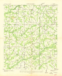 1936 Fyffe1936 Print · USGSDeKalb County and the Sand Mountain plateau are captured here during the mid-1930s, showing a landscape of tightly-knit rural communities. You can trace early creek crossings like Old Sauty Mill Bridge and locate family landmarks such as Lusk Chapel Ch and Ten Broeck.
 - 1946 Map of Chavies, 1964 Print
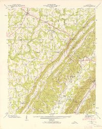 1946 Chavies1964 Print · USGSDeKalb County’s plateau and valley communities are captured in detail just after the war, showing the rural networks of Rainsville and Chavies. Researchers can locate old schools and river crossings like Log Cabin School, Suttell Ford, and the Mt Herman Cemetery.3 unique versions available
 - 1946 Map of Fyffe, 1972 Print
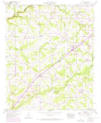 1946 Fyffe1972 Print · USGSDeKalb County enters a period of post-war growth on Sand Mountain as rural settlements like Fyffe and Ten Broeck began to expand. Genealogists and historians can trace family land near Gibson Crossroads, Warren Cem, and several local congregations including Beulah Ch.2 unique versions available
 - 1947 Map of Chavies
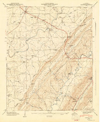 1947 Chavies1947 Print · USGSDeKalb County ridge-and-valley country is captured here in the late 1940s, showing the rural uplands of SAND MOUNTAIN and the BIG WILLS VALLEY below. Genealogists and historians can trace local landmarks like Plainview Sch, Hughes Mill, and old river crossings at Franklin Ford.
 - 1947 Map of Dutton, 1972 Print
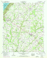 1947 Dutton1972 Print · USGSSand Mountain settlements and the Guntersville Lake shoreline appear in this mid-century survey as the Tennessee Valley transformed. Trace family roots at Chaney Chapel Cem or locate old community hubs like Gossett Gap and Hancock Crossroads.2 unique versions available
 - 1947 Map of Sylvania, 1976 Print
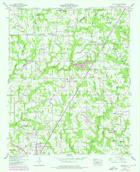 1947 Sylvania1976 Print · USGSDeKalb County’s plateau communities are shown in detail during the mid-twentieth century as Rainsville and Sylvania began to expand along the highway. Researchers can trace family roots through numerous sites like Double Spring Church, Mahan Cem, and the old Wilkes Store.3 unique versions available
 - 1949 Map of Fyffe
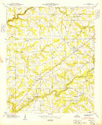 1949 Fyffe1949 Print · USGSDe Kalb County is shown in the late 1940s as a high-plateau farming community centered on the crossroads of Fyffe. Researchers can trace early family sites at Warren Cem Graveyard, find the old Ten Broeck landmark, or locate numerous rural pulpits like Old Corinth Ch.2 unique versions available
 - 1950 Map of Dutton
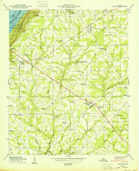 1950 Dutton1950 Print · USGSSand Mountain in the post-war era is a landscape of high-plateau farms and rural crossroads along the Jackson and De Kalb County line. Researchers can trace the heritage of local communities through landmarks like Hancock Crossroads, Old Shady Grove Church, and Tomlin Sch.2 unique versions available
 - 1950 Map of Sylvania
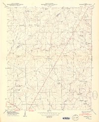 1950 Sylvania1950 Print · USGSDeKalb County and the Sand Mountain plateau are captured here just after the war, showing the area's rural crossroads and family settlements. Genealogists can locate family-named landmarks like Wilkes Store, Mahan Crossroads, and the Mahan Cem.2 unique versions available
 - 1955 Map of Rome
 1955 Rome1955 Print · USGSThe tri-state borderlands of Georgia, Alabama, and Tennessee appear in the mid-fifties as a landscape of ridge-and-valley industry and river navigation. Genealogists can trace family footprints near Chattanooga, the iron works of Gadsden, and textile towns like Trion or Summerville.
 - 1958 Map of Rome, 1966 Print
 1958 Rome1966 Print · USGSNorthwest Georgia and neighboring Tennessee and Alabama are captured here in the late fifties, showcasing a landscape of high ridges and river valleys. Researchers can trace historic rail lines like the Seaboard Air Line RR and explore the bounds of Cloudland Canyon State Park or Fort Oglethorpe.3 unique versions available
 - 1961 Map of Rome
 1961 Rome1961 Print · USGSNorthwest Georgia and neighboring Tennessee and Alabama are shown here at a moment of significant mid-century growth. Researchers can trace the rail networks of the Central of Georgia or locate landmarks within Chickamauga and Chattanooga Nat Military Park.
 - 1963 Map of Rome
 1963 Rome1963 Print · USGSThe tri-state corner of Georgia, Alabama, and Tennessee is captured here during a period of massive reservoir expansion and post-war growth. Genealogists and historians can trace the rail corridors of the Southern Ry or locate landmarks like Fort Oglethorpe and Cloudland Canyon State Park.
 - 1981 Map of Chickamauga, 1982 Print
 1981 Chickamauga1982 Print · USGSThe tri-state border region of Georgia, Alabama, and Tennessee comes into focus during the early eighties, defined by the towering ridges of the Appalachians. Historians can trace the preserved grounds of Chickamauga and Chattanooga National Military Park and old rail stops like Rising Fawn or Sulphur Springs.2 unique versions available
 - 1981 Map of Rome, 1982 Print
 1981 Rome1982 Print · USGSNorthwest Georgia and the Alabama borderlands come into focus in the early eighties, defined by the winding Coosa River and the high ridges of Lookout Mountain. Researchers can trace the rail-and-river economy through Rome, Gadsden, and Cedartown, alongside natural landmarks like Yellow Creek Falls.2 unique versions available
 - 2011 Map of Dutton, 2011 Print
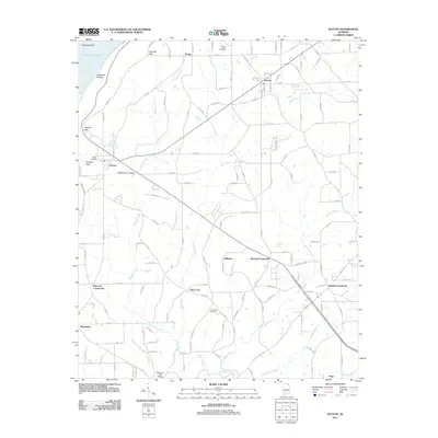 2011 Dutton2011 Print · USGSNortheast Alabama's plateau country and the ridges above the Tennessee River are shown here in the early twenty-first century. Genealogists and researchers can trace rural homesteads near Dutton, Macedonia, and burial sites like Chaney Chapel Cemetery.
Showing maps 1-25 of 46
Top cities near Rainsville
- Scottsboro historical maps
- Fort Payne historical maps
- Henagar historical maps
- Collinsville historical maps
- Crossville historical maps
- Sylvania historical maps
See more
Top neighborhoods of Rainsville
- Pope historical maps
- Chavies historical maps
- Lands Crossroads historical maps
- Plainview historical maps
Frequently asked questions
- What are the different types of historical maps available for Rainsville?
- What is the oldest map of Rainsville?
- Where can I purchase historical maps of Rainsville for my home or office?
- Where can I download high-res historical maps of Rainsville?
- Are there historical topographic maps available for Rainsville?
- Is there historical aerial imagery available for Rainsville?
- Where are historical maps of Rainsville sourced from?