2000s (21st Century) Maps of Wetumpka, Alabama
Explore 15 historic maps of Wetumpka from the 2000s (21st Century). These maps offer a rare glimpse into what life looked like during the 2000s — showing old roads, neighborhoods, homes, and landmarks that have changed or disappeared over time.
Whether you're researching your family's past, planning a metal detecting trip, or studying how Wetumpka's landscape evolved across the 2000s, these high-resolution maps are a powerful tool for exploring the history of this region.
- Focus on a specific era: All maps on this page are from the 2000s, giving you a focused view of this time period.
- See what’s changed: Compare century-old streets, trails, and buildings to today's modern landscape using overlays and satellite layers.
- Research with precision: Use these maps for genealogy, historical research, land use analysis, or educational projects.
- View, download, or print: Maps are fully viewable online in high resolution, and can be downloaded or printed for your own records.
Start exploring Wetumpka's history through authentic maps from the 2000s. This is your window into the past.
Wetumpka, AL maps
(15)- 2011 Map of Wetumpka, 2011 Print
 2011 Wetumpka2011 Print · USGSCovers Wetumpka, including Quail Run, Saint Clair, and other nearby areas
 - 2011 Map of Elmore, 2011 Print
 2011 Elmore2011 Print · USGSCovers Wetumpka, including Millbrook, Deatsville, and other nearby areas
 - 2011 Map of Willow Springs, 2011 Print
 2011 Willow Springs2011 Print · USGSCovers Wetumpka, including Montgomery, Emerald Mountain, and other nearby areas
 - 2014 Map of Elmore, 2014 Print
 2014 Elmore2014 Print · USGSCovers Wetumpka, including Millbrook, Deatsville, and other nearby areas
 - 2014 Map of Willow Springs, 2014 Print
 2014 Willow Springs2014 Print · USGSCovers Wetumpka, including Montgomery, Emerald Mountain, and other nearby areas
 - 2014 Map of Wetumpka, 2014 Print
 2014 Wetumpka2014 Print · USGSCovers Wetumpka, including Quail Run, Saint Clair, and other nearby areas
 - 2018 Map of Willow Springs, 2018 Print
 2018 Willow Springs2018 Print · USGSCovers Wetumpka, including Montgomery, Emerald Mountain, and other nearby areas
 - 2018 Map of Wetumpka, 2018 Print
 2018 Wetumpka2018 Print · USGSCovers Wetumpka, including Quail Run, Saint Clair, and other nearby areas
 - 2018 Map of Elmore, 2018 Print
 2018 Elmore2018 Print · USGSCovers Wetumpka, including Millbrook, Deatsville, and other nearby areas
 - 2020 Map of Elmore, 2020 Print
 2020 Elmore2020 Print · USGSCovers Wetumpka, including Millbrook, Deatsville, and other nearby areas
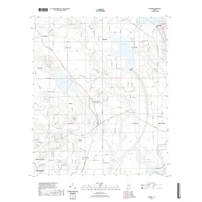
 - 2020 Map of Wetumpka, 2020 Print
 2020 Wetumpka2020 Print · USGSCovers Wetumpka, including Quail Run, Saint Clair, and other nearby areas
 - 2020 Map of Willow Springs, 2020 Print
 2020 Willow Springs2020 Print · USGSCovers Wetumpka, including Montgomery, Emerald Mountain, and other nearby areas
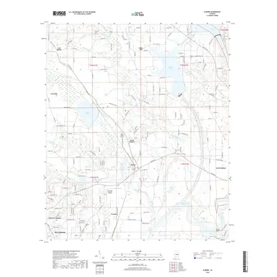
 - 2024 Map of Wetumpka, 2024 Print
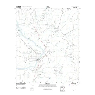
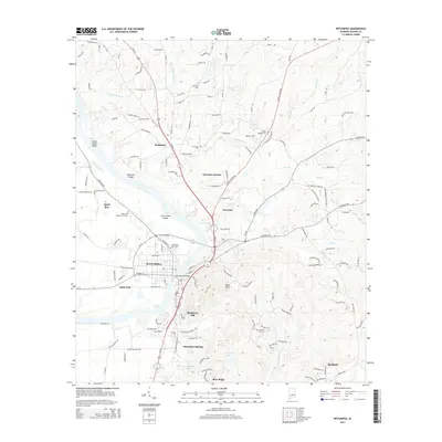
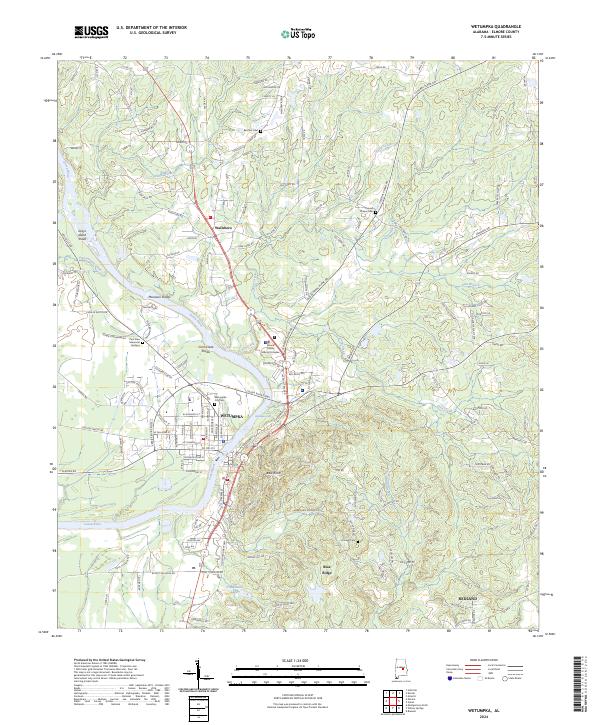 2024 Wetumpka2024 Print · USGSElmore County's river-front seat is captured here in the 2020s, showing the modern growth of the river corridor. Genealogists and local historians can locate Wetumpka City Cem, trace the waters of Moccasin Shoals, or find the historic Wallsboro community.
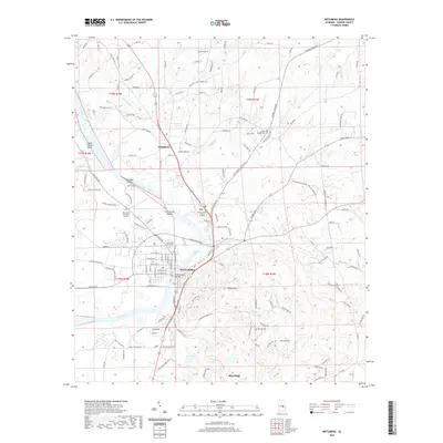
 - 2024 Map of Elmore, 2024 Print
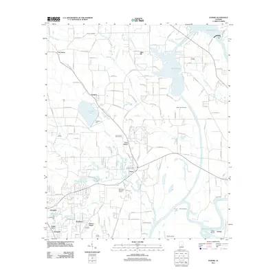
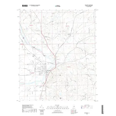
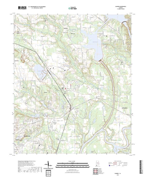 2024 Elmore2024 Print · USGSElmore County's river-rich landscape is captured here at the meeting of the Coosa River and Tallapoosa River. Local historians can trace family roots through numerous sites like Mount Zion Chapel AME Zion Church Cem, Taskigi Mound, and the settlement at Coosada.
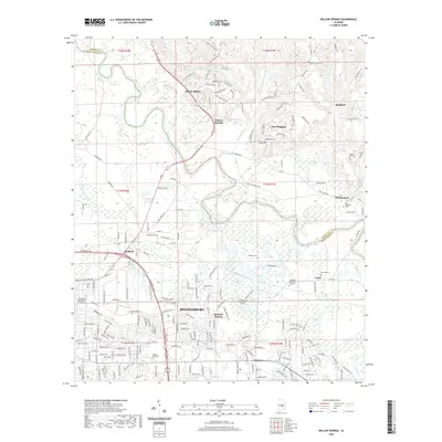
 - 2024 Map of Willow Springs, 2024 Print
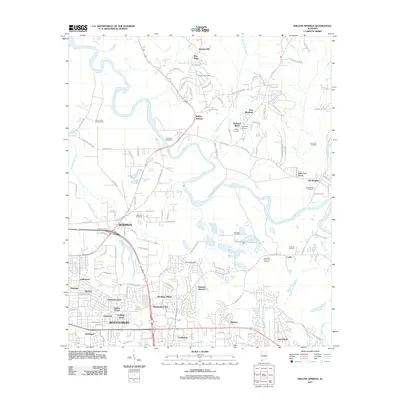
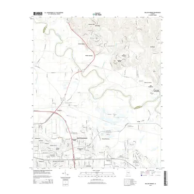
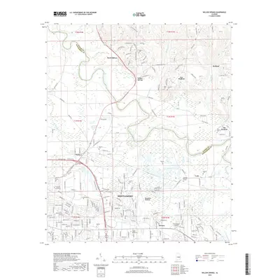
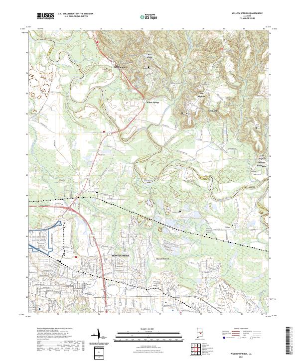 2024 Willow Springs2024 Print · USGSMontgomery and Wetumpka appear in this contemporary survey of the Elmore and Montgomery county line. Researchers can trace the expansion of the state capital alongside long-standing landmarks like Maxwell AFB Gunter Annex, Brassell Bottom, and Marshall Cem.
End of results
Showing maps 1-15 of 15
Top cities near Wetumpka
- Montgomery historical maps
- Prattville historical maps
- Millbrook historical maps
- Pike Road historical maps
- Holtville historical maps
- Emerald Mountain historical maps
See more
Top neighborhoods of Wetumpka
- Willow Springs historical maps
- Wallsboro historical maps
- Blueberry Hill historical maps
- Harrogate Springs historical maps
- Tarwater historical maps
Frequently asked questions
- What are the different types of historical maps available for Wetumpka?
- What is the oldest map of Wetumpka?
- Where can I purchase historical maps of Wetumpka for my home or office?
- Where can I download high-res historical maps of Wetumpka?
- Are there historical topographic maps available for Wetumpka?
- Is there historical aerial imagery available for Wetumpka?
- Where are historical maps of Wetumpka sourced from?