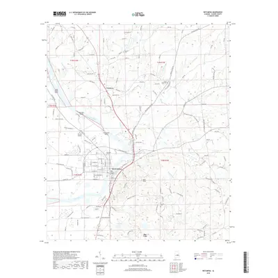
2018 Map of Wetumpka
USGS Topo · Published 2018About this map
The Coosa River dominates this portion of Elmore County, carving through a landscape of significant elevation changes and historic river crossings. The city of Wetumpka serves as the focal point, where the iconic Bibb Graves Bridge spans the water near the Wetumpka City Cem. To the north, the river is characterized by complex navigation hazards like Corn Creek Shoals, Moccasin Shoals, and Grays Island Shoal, illustrating the river's rugged fall line character.
Find a feature on this map
137 named features on this map. Tap any name to fly to it.
Don’t see what you’re looking for? This feature index may not catch every label — zoom into the map to look around manually.
Map Details
Editions of this 2018 Wetumpka Map
This is the sole edition of this map. No revisions or reprints were ever made.
Other maps of this area

1901 · Wetumpka
USGS Topo · 1:125,000

1901 · Wetumpka
USGS Topo · 1:62,500

1903 · Wetumpka
USGS Topo · 1:125,000

1927 · Montgomery
USGS Topo · 1:48,000

1930 · Montgomery
USGS Topo · 1:62,500

1953 · Montgomery
USGS Topo · 1:250,000

1956 · Montgomery
USGS Topo · 1:250,000

1957 · Montgomery
USGS Topo · 1:250,000

1958 · Montgomery
USGS Topo · 1:62,500

1958 · Montgomery North
USGS Topo · 1:24,000