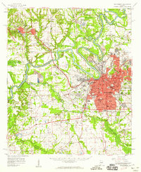
1958 Map of Montgomery
USGS Topo · Published 1959About this map
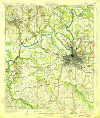
Montgomery serves as the focal point of this late 1950s survey, showing the city's mid-century expansion along the Alabama River and the significant presence of Maxwell Air Force Base. The map detail captures the intersection of three major rail lines—the Louisville and Nashville, Western Railway of Alabama, and Seaboard Air Line—which historically fueled the region's transport economy.
Find a feature on this map
98 named features on this map. Tap any name to fly to it.
Don’t see what you’re looking for? This feature index may not catch every label — zoom into the map to look around manually.
Map Details
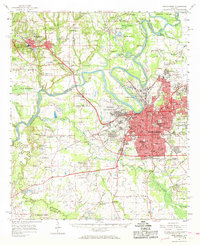
Editions of this 1958 Montgomery Map
2 editions found
Other maps of this area
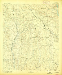
1891 · Clanton
USGS Topo · 1:125,000

1901 · Wetumpka
USGS Topo · 1:125,000
1901 · Wetumpka
USGS Topo · 1:62,500

1903 · Wetumpka
USGS Topo · 1:125,000

1927 · Montgomery
USGS Topo · 1:48,000
1930 · Montgomery
USGS Topo · 1:62,500

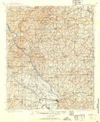
1953 · Montgomery
USGS Topo · 1:250,000

1956 · Montgomery
USGS Topo · 1:250,000

1957 · Montgomery
USGS Topo · 1:250,000

1957 · Letohatchee
USGS Topo · 1:62,500