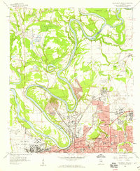
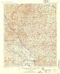
1958 Map of Montgomery North
USGS Topo · Published 1959About this map
The Alabama River and Tallapoosa River converge at the northern edge of this late 1950s survey, defining a landscape of deep river bends and low-lying islands like Gun Island and Parker Island. The city of Montgomery anchors the southern portion of the map, showing a dense grid of mid-century development including the State Capitol, Courthouse, and several educational institutions like Lee High Sch and Capitol Heights Jr High Sch. This era captures the significant military presence in the region with the sprawling layouts of Maxwell Air Force Base and Gunter Air Force Base flanking the urban center.
Find a feature on this map
55 named features on this map. Tap any name to fly to it.
Don’t see what you’re looking for? This feature index may not catch every label — zoom into the map to look around manually.
Map Details
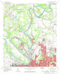
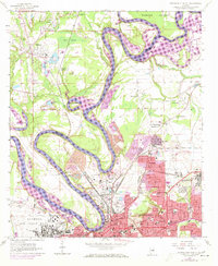
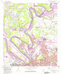
Editions of this 1958 Montgomery North Map
4 editions found
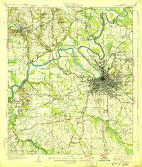
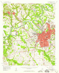
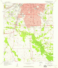
Other maps of this area

1901 · Wetumpka
USGS Topo · 1:125,000
1901 · Wetumpka
USGS Topo · 1:62,500

1903 · Wetumpka
USGS Topo · 1:125,000

1927 · Montgomery
USGS Topo · 1:48,000
1930 · Montgomery
USGS Topo · 1:62,500

1953 · Montgomery
USGS Topo · 1:250,000

1956 · Montgomery
USGS Topo · 1:250,000

1957 · Montgomery
USGS Topo · 1:250,000
1958 · Montgomery
USGS Topo · 1:62,500
1958 · Montgomery South
USGS Topo · 1:24,000