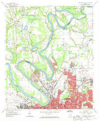
1958 Map of Montgomery North
USGS Topo · Published 1970About this map
Montgomery and the surrounding river bends of the Alabama River and Tallapoosa River are captured here in the late 1950s. The landscape is defined by its strategic military and industrial hubs, featuring the sprawling layouts of Maxwell Air Force Base and Gunter Air Force Base on opposite sides of the city. To the north, the winding river creates distinctive landforms like Gun Island and Parker Island, while the Louisville and Nashville railroad facilitates commerce through Prattville Junction.
Find a feature on this map
54 named features on this map. Tap any name to fly to it.
Don’t see what you’re looking for? This feature index may not catch every label — zoom into the map to look around manually.
Map Details
Editions of this 1958 Montgomery North Map
4 editions found
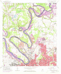
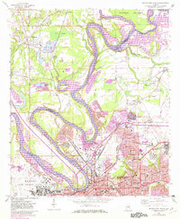
Other maps of this area

1901 · Wetumpka
USGS Topo · 1:125,000

1901 · Wetumpka
USGS Topo · 1:62,500

1903 · Wetumpka
USGS Topo · 1:125,000

1927 · Montgomery
USGS Topo · 1:48,000

1930 · Montgomery
USGS Topo · 1:62,500

1953 · Montgomery
USGS Topo · 1:250,000

1956 · Montgomery
USGS Topo · 1:250,000

1957 · Montgomery
USGS Topo · 1:250,000

1958 · Montgomery
USGS Topo · 1:62,500

1958 · Montgomery North
USGS Topo · 1:24,000