Old Maps of Oak Grove, Alabama for Genealogy
Trace your family roots with 14 historic maps of Oak Grove. These high-res maps reveal old neighborhoods, homesites, landmarks, and streets — helping you uncover where your ancestors lived and how the area evolved over time.
- Explore historic neighborhoods: Identify where your relatives may have lived in the 1800s or 1900s.
- Compare maps over time: Trace the changes in streets, buildings, and landmarks for multi-generational research.
- Perfect for genealogy & ancestry research: Used by family historians and researchers to map out lineage and migration.
These maps are an incredible resource for exploring your personal connection to Oak Grove's past.
Oak Grove, AL maps
(14)- 1936 Map of Newburg
 1936 Newburg1936 Print · USGSFranklin County's rural ridge-and-valley landscape is captured here in the mid-1930s as the Black Warrior National Forest was being established. Family historians can locate specific community centers like Kimbrough Chapel, Newburg, and Little Trapp Sch among the winding hollows.
 - 1945 Map of Newburg, 1970 Print
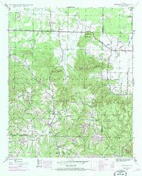 1945 Newburg1970 Print · USGSThe northern reaches of the Bankhead National Forest are shown in the mid-1940s, documenting a landscape of rural communities and wooded ridges. Genealogists can locate family landmarks like Kimbrough Cem, Oak Grove Ch, and Piney Grove Sch.2 unique versions available
 - 1947 Map of Newburg
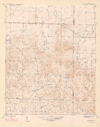 1947 Newburg1947 Print · USGSNorth Alabama's hill country is captured here in the years following the war, centered on the community of Newburg. Genealogists and historians can trace local landmarks like Kimbrough Chapel, the Templeton Cem, and several early rural school sites.2 unique versions available
 - 1956 Map of Gadsden, 1966 Print
 1956 Gadsden1966 Print · USGSNorth Alabama in the mid-1950s shows a region transformed by river engineering and federal industry. Genealogists and local historians can trace the development of the Tennessee Valley through the growth of Huntsville, the sprawling Redstone Arsenal, and the expansive Guntersville Lake.3 unique versions available
 - 1958 Map of Gadsden
 1958 Gadsden1958 Print · USGSNorth Alabama comes alive in the late 1950s as the Tennessee Valley Authority’s massive river projects and the rise of the space industry reshaped the landscape. Researchers can trace the mid-century footprints of Huntsville, Redstone Arsenal, and the riverside rail networks of the Southern railroad.
 - 1960 Map of Gadsden
 1960 Gadsden1960 Print · USGSNorthern Alabama in the mid-1950s is defined by the mighty Tennessee River and its massive reservoirs. Trace the development of Huntsville and Redstone Arsenal or explore the vast William B Bankhead National Forest.2 unique versions available
 - 1963 Map of Gadsden
 1963 Gadsden1963 Print · USGSNorthern Alabama underwent a dramatic mid-century transformation as the Tennessee Valley became a hub for defense and industry. Researchers can trace the development of the Redstone Arsenal, the route of the Natchez Trace Parkway, and long-standing rail lines like the Southern Railway.
 - 1980 Map of Haleyville, 1983 Print
 1980 Haleyville1983 Print · USGSNorthwest Alabama at the start of the eighties shows a landscape of deep forests and new reservoirs as modern infrastructure settled into the hills. Researchers can trace the rail lines of the Southern and Illinois Central Gulf through towns like Haleyville, Moulton, and Natural Bridge.
 - 2000 Map of Newburg, 2003 Print
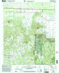 2000 Newburg2003 Print · USGSNorthwest Alabama at the turn of the millennium shows a landscape deeply intertwined with the timberlands and wildlife areas of the national forest system. Genealogists can trace family footprints through numerous rural landmarks like Kimbrough Cem, New Hope Ch, and Union Sch.
 - 2011 Map of Newburg, 2011 Print
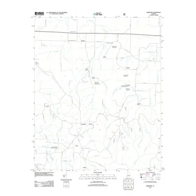 2011 Newburg2011 Print · USGSFranklin County in the early twenty-first century remains a rural landscape of high ridges and winding creek branches. Genealogists can trace family names through numerous burial sites like Macedonia Cemetery, Templeton Cemetery, and Gray Rock Cemetery.
 - 2014 Map of Newburg, 2014 Print
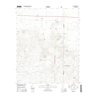 2014 Newburg2014 Print · USGSThe rural uplands of Franklin and Lawrence counties are captured here in the mid-2010s, showing the edge of the William B. Bankhead National Forest. Local historians can trace old homesteads and family sites near Macedonia Cem, Denton Hollow Cem, and the settlement of Oak Grove.
 - 2018 Map of Newburg, 2018 Print
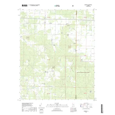 2018 Newburg2018 Print · USGSFranklin County's high ridges and timbered hollows are documented here during the late 2010s. Genealogists can locate numerous rural burial sites including Kimbrough Cemetery, Templeton Cemetery, and Gray Rock Cemetery near Newburg.
 - 2021 Map of Newburg, 2021 Print
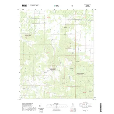 2021 Newburg2021 Print · USGSFranklin County's rolling hills and forested reaches are captured here in the early 2020s, centered on the historic crossroads at Newburg. Genealogists can trace decades of local heritage through numerous sites like Mount Pleasant Cem, Kimbrough Cem, and the community at Oak Grove.
 - 2024 Map of Newburg, 2024 Print
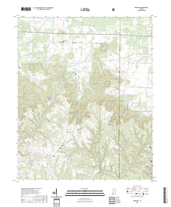 2024 Newburg2024 Print · USGSFranklin and Lawrence counties meet here in the rural highlands of northern Alabama. Researchers can trace family history through numerous landmarks including Macedonia Cem, Newburg, and the namesake graves at Byler Ridge Road Cem.
End of results
Showing maps 1-14 of 14
Top cities near Oak Grove
- Russellville historical maps
- Haleyville historical maps
- Hackleburg historical maps
- Bear Creek historical maps
- Littleville historical maps
- Phil Campbell historical maps
See more
Frequently asked questions
- What are the different types of historical maps available for Oak Grove?
- What is the oldest map of Oak Grove?
- Where can I purchase historical maps of Oak Grove for my home or office?
- Where can I download high-res historical maps of Oak Grove?
- Are there historical topographic maps available for Oak Grove?
- Is there historical aerial imagery available for Oak Grove?
- Where are historical maps of Oak Grove sourced from?