Old Maps of Vina, Alabama for Academic Research
Study the evolution of Vina with 20 high-resolution historic maps. Whether you're teaching, researching, or modeling changes in land use, these maps provide essential visual documentation of urban, environmental, and geographic change.
- Analyze long-term change: Track patterns in development, transportation, and natural features.
- Ideal for environmental or urban studies: Support academic projects with primary historical map data.
- Use in the classroom or lab: Educators and researchers rely on these maps to bring historical context to life.
These maps are a powerful tool for teaching, research, and visualizing how Vina has changed over the decades.
Vina, AL maps
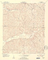
(20)- 1936 Map of Vina
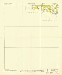 1936 Vina1936 Print · USGSThe area surrounding Vina in the mid-1930s is captured here during a period of infrastructure growth and rural transition. Researchers can locate family landmarks like Jones Cem and trace the path of the Illinois Central railroad.
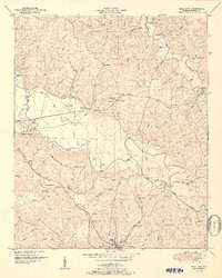
 - 1936 Map of Halltown
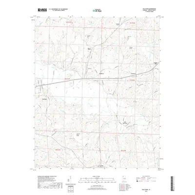
 1936 Halltown1936 Print · USGSFranklin County in the mid-1930s is a landscape of creek-side settlements and rural crossroads connected by the Illinois Central railroad. Family historians can locate rural landmarks like Halltown Cem, Coker Sch, and the community of Burntout.
 - 1950 Map of Vina, 1977 Print
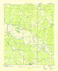
 1950 Vina1977 Print · USGSThe Alabama-Mississippi borderlands come to life in this mid-century survey of the upland country near Vina. Genealogists and historians can trace isolated landmarks like Good Spring Church, the Newburg Cem, and the path of the Illinois Central railroad.
 - 1950 Map of Halltown, 1977 Print
 1950 Halltown1977 Print · USGSFranklin County's rural landscape is captured here at mid-century, showing the quiet growth of Red Bay and Vina. Genealogists can locate family landmarks like Weatherbee Cem, Liberty Hill Church, and the historic site of Old Burleson.
 - 1951 Map of Vina
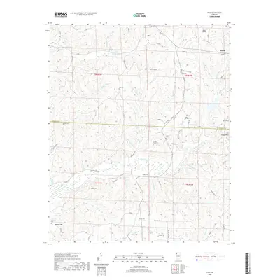
 1951 Vina1951 Print · USGSNorthwest Alabama at mid-century centers on the corridor between Vina and Shottsville as the rural landscape evolves. Researchers can trace family-named landmarks like Buzzard Bluff, several country schools, and old burial sites such as Brazel Cem and Nichols Cem.2 unique versions available
 - 1951 Map of Halltown
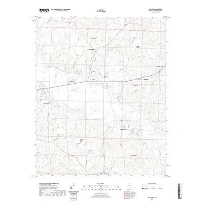
 1951 Halltown1951 Print · USGSFranklin County, Alabama, was a landscape of rail-connected towns and ridge-top churches during the early fifties. Genealogists can trace family roots through Weatherbee Cem, Halltown Cem, and rural landmarks like the Vina Lookout Tower.2 unique versions available
 - 1956 Map of Tupelo, 1967 Print
 1956 Tupelo1967 Print · USGSNortheast Mississippi and parts of Tennessee and Alabama are shown here during the mid-fifties, a time of major reservoir construction and forestry management. Researchers can trace the St Louis-San Francisco RR through Tupelo or locate historic sites like Tishomingo State Park and the University.2 unique versions available
 - 1958 Map of Tupelo
 1958 Tupelo1958 Print · USGSNortheast Mississippi and neighboring Alabama and Tennessee appear here during the late fifties as a region defined by new reservoirs and historic rail lines. Genealogists can trace family locations near Sardis Lake, Woodall Mountain, and the St Louis-San Francisco Ry.
 - 1984 Map of Tupelo
 1984 Tupelo1984 Print · USGSNorth Mississippi in the 1980s is defined by its massive river basin reservoirs and the growing regional hubs of Tupelo and Oxford. Researchers can trace the legacy of the Pontotoc Ridge, find the University of Mississippi, and map early Interstate corridors near Sardis Lake.3 unique versions available
 - 1984 Map of Tupelo, 1985 Print
 1984 Tupelo1985 Print · USGSNortheast Mississippi and the Alabama borderlands are shown in the mid-1980s as timber and river networks shaped the region. Trace local history through the Illinois Central Gulf rail line and sites like the Old Natchez Trace Parkway.
 - 2011 Map of Vina, 2011 Print
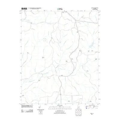 2011 Vina2011 Print · USGSCovers Vina, including Franklin County, Marion County, and other nearby areas
 - 2011 Map of Halltown, 2011 Print
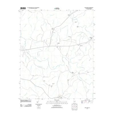 2011 Halltown2011 Print · USGSCovers Vina, including Red Bay, Seven Pines, and other nearby areas
 - 2014 Map of Halltown, 2014 Print
 2014 Halltown2014 Print · USGSCovers Vina, including Red Bay, Seven Pines, and other nearby areas
 - 2014 Map of Vina, 2014 Print
 2014 Vina2014 Print · USGSCovers Vina, including Franklin County, Marion County, and other nearby areas
 - 2018 Map of Vina, 2018 Print
 2018 Vina2018 Print · USGSCovers Vina, including Franklin County, Marion County, and other nearby areas
 - 2018 Map of Halltown, 2018 Print
 2018 Halltown2018 Print · USGSCovers Vina, including Red Bay, Seven Pines, and other nearby areas
 - 2020 Map of Halltown, 2020 Print
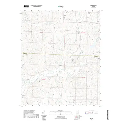
 2020 Halltown2020 Print · USGSCovers Vina, including Red Bay, Seven Pines, and other nearby areas
 - 2020 Map of Vina, 2020 Print
 2020 Vina2020 Print · USGSCovers Vina, including Franklin County, Marion County, and other nearby areas
 - 2024 Map of Halltown, 2024 Print
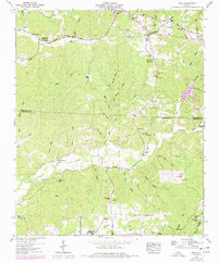
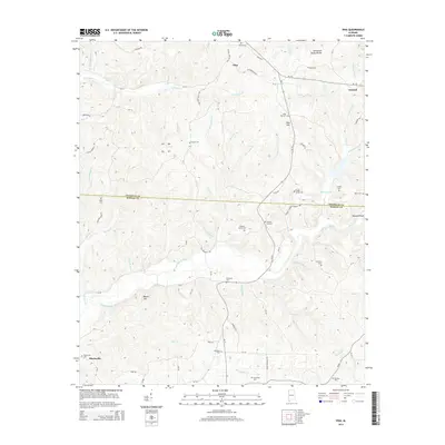
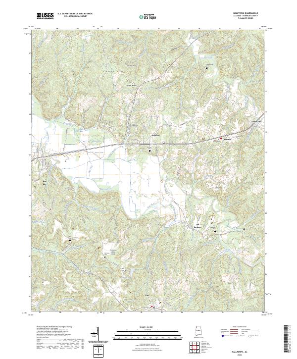 2024 Halltown2024 Print · USGSFranklin County's rural heartland is captured here in the 2020s, showing a landscape defined by the Freedom Hills and the Tennessee Valley Divide. Researchers can trace local lineage through sites like Old Burleson, Halltown, and the remote Weatherbee Cem.
 - 2024 Map of Vina, 2024 Print
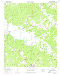
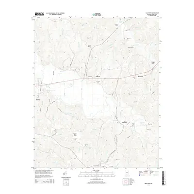
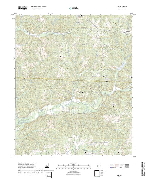 2024 Vina2024 Print · USGSThe rural borderlands of Franklin and Marion Counties come into focus in the early 2020s, centered on the settlement of Vina. Researchers can trace old family burial sites and rural congregations at Newburg Cem, Childers Family Cem, and Bethany Baptist Church Cem.
End of results
Showing maps 1-20 of 20
Top cities near Vina
- Hamilton historical maps
- Red Bay historical maps
- Belmont historical maps
- Hackleburg historical maps
- Tremont historical maps
- Hodges historical maps
See more
Frequently asked questions
- What are the different types of historical maps available for Vina?
- What is the oldest map of Vina?
- Where can I purchase historical maps of Vina for my home or office?
- Where can I download high-res historical maps of Vina?
- Are there historical topographic maps available for Vina?
- Is there historical aerial imagery available for Vina?
- Where are historical maps of Vina sourced from?