Old Maps of Akron, Alabama for Hiking & Exploration
Hike through history with 17 historic maps of Akron. Explore old trails, ghost towns, and forgotten backroads — perfect for outdoor adventurers and local explorers.
- Rediscover forgotten places: Map out old mining camps, roads, and footpaths that no longer exist on modern maps.
- Layer with modern tools: Combine with LiDAR or satellite views to plan hikes through historical terrain.
- Made for exploration: Popular among hikers, overlanders, and local history lovers.
Use these maps to find adventure and explore the hidden past of Akron.
Akron, AL maps
(17)- 1953 Map of Montgomery, 1964 Print
 1953 Montgomery1964 Print · USGSCentral Alabama's river-and-rail corridor is mapped here in the mid-fifties, showing the vital connections between the capital and the Black Belt. Genealogists and historians can trace rail depots and crossroads from Marion Junction to Wetumpka, alongside landmarks like Craig AFB.4 unique versions available
 - 1956 Map of Montgomery
 1956 Montgomery1956 Print · USGSCentral Alabama in the mid-1950s shows a landscape defined by its great river systems and a booming military aviation presence. Genealogists and historians can trace the rail corridors of the Southern Railway and locate tactical bases like Maxwell AFB and Craig AFB.
 - 1957 Map of Montgomery
 1957 Montgomery1957 Print · USGSCentral Alabama in the mid-fifties is defined by the winding Alabama River and a strategic network of military bases and rail lines. Trace family roots in Montgomery and Selma, or locate landmarks like Craig AFB and the State Capitol before the interstate era.
 - 1980 Map of Moundville West
 1980 Moundville West1980 Print · USGSThe Black Warrior River and Southern Railway define this Hale County landscape during the late twentieth century. Genealogists can trace family names at Taylor Chapel, Havana Cem, and small settlements like Powers and Guinea.
 - 1980 Map of Sawyerville
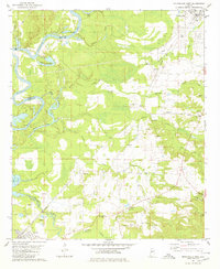
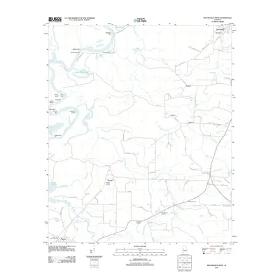
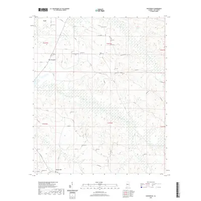
 1980 Sawyerville1980 Print · USGSHale County settlement and transport patterns are captured here in the 1970s, from the rail hub of Akron to the rural roads of Sawyerville. Genealogists can trace family landmarks like Mays Cem, Hill Zion Ch, and several scattered Gravel Pits along Big Brush Creek.
 - 1986 Map of Demopolis
 1986 Demopolis1986 Print · USGSWest-central Alabama's river-and-rail corridors are preserved here in the mid-eighties, showing the deep-seated settlement patterns of the Black Belt. Genealogists and historians can locate family-named landmarks like Crenshaw Quarters or industrial sites including Cleveland Mills and the Warrior Lock and Dam.
 - 1990 Map of Demopolis
 1990 Demopolis1990 Print · USGSWest-central Alabama's river corridors and educational centers are mapped here in the late twentieth century. Genealogists and local historians can trace old family sites near Oak Grove Ch, the historic Marion Military Institute, or the landings at Finchal Ferry.
 - 2011 Map of Sawyerville, 2011 Print
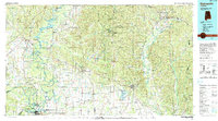
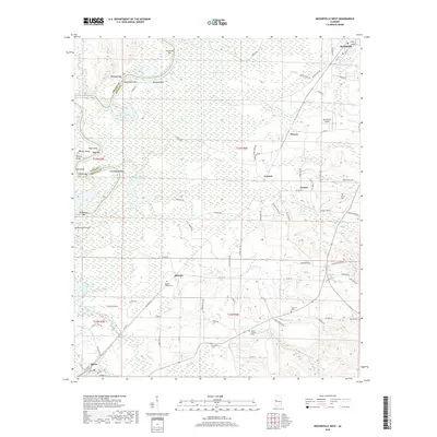
 2011 Sawyerville2011 Print · USGSCovers Akron, including New Prospect, Sawyerville, and other nearby areas
 - 2011 Map of Moundville West, 2011 Print
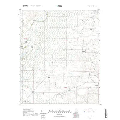
 2011 Moundville West2011 Print · USGSCovers Akron, including Moundville, Cypress, and other nearby areas
 - 2014 Map of Sawyerville, 2014 Print
 2014 Sawyerville2014 Print · USGSCovers Akron, including New Prospect, Sawyerville, and other nearby areas
 - 2014 Map of Moundville West, 2014 Print
 2014 Moundville West2014 Print · USGSCovers Akron, including Moundville, Cypress, and other nearby areas
 - 2018 Map of Sawyerville, 2018 Print
 2018 Sawyerville2018 Print · USGSCovers Akron, including New Prospect, Sawyerville, and other nearby areas
 - 2018 Map of Moundville West, 2018 Print
 2018 Moundville West2018 Print · USGSCovers Akron, including Moundville, Cypress, and other nearby areas
 - 2020 Map of Moundville West, 2020 Print
 2020 Moundville West2020 Print · USGSCovers Akron, including Moundville, Cypress, and other nearby areas
 - 2020 Map of Sawyerville, 2020 Print
 2020 Sawyerville2020 Print · USGSCovers Akron, including New Prospect, Sawyerville, and other nearby areas
 - 2024 Map of Moundville West, 2024 Print
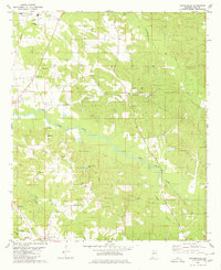
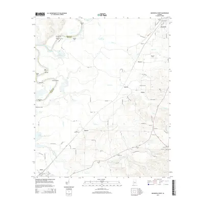
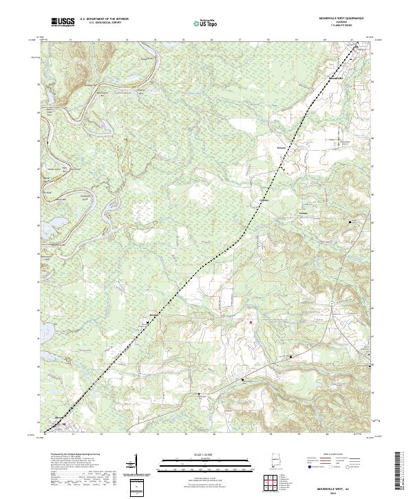 2024 Moundville West2024 Print · USGSThe Black Warrior River valley on the Greene and Hale County line appears here in the early twenty-first century. Genealogists can trace family connections through numerous burial sites like Springhill Cem, Tucker Cem, and Mileous Chapel Cem.
 - 2024 Map of Sawyerville, 2024 Print
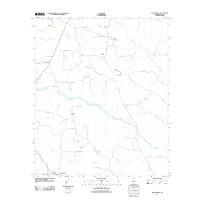
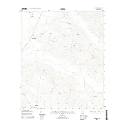
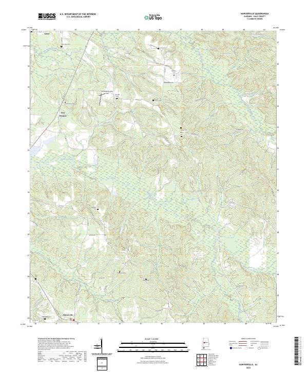 2024 Sawyerville2024 Print · USGSHale County, Alabama, is captured here in modern detail, from the edge of Akron down to the settlement at Sawyerville. Genealogists can trace numerous local burial grounds including Akron New Cem, Mays Cem, and Rhone Cem along the winding banks of Big Brush Creek.
End of results
Showing maps 1-17 of 17
Top cities near Akron
- Moundville historical maps
- Eutaw historical maps
- Greensboro historical maps
- Forkland historical maps
- Union historical maps
Frequently asked questions
- What are the different types of historical maps available for Akron?
- What is the oldest map of Akron?
- Where can I purchase historical maps of Akron for my home or office?
- Where can I download high-res historical maps of Akron?
- Are there historical topographic maps available for Akron?
- Is there historical aerial imagery available for Akron?
- Where are historical maps of Akron sourced from?