2000s (21st Century) Maps of Abbeville, Alabama
Explore 10 historic maps of Abbeville from the 2000s (21st Century). These maps offer a rare glimpse into what life looked like during the 2000s — showing old roads, neighborhoods, homes, and landmarks that have changed or disappeared over time.
Whether you're researching your family's past, planning a metal detecting trip, or studying how Abbeville's landscape evolved across the 2000s, these high-resolution maps are a powerful tool for exploring the history of this region.
- Focus on a specific era: All maps on this page are from the 2000s, giving you a focused view of this time period.
- See what’s changed: Compare century-old streets, trails, and buildings to today's modern landscape using overlays and satellite layers.
- Research with precision: Use these maps for genealogy, historical research, land use analysis, or educational projects.
- View, download, or print: Maps are fully viewable online in high resolution, and can be downloaded or printed for your own records.
Start exploring Abbeville's history through authentic maps from the 2000s. This is your window into the past.
Abbeville, AL maps
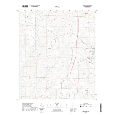
(10)- 2011 Map of Abbeville West, 2011 Print
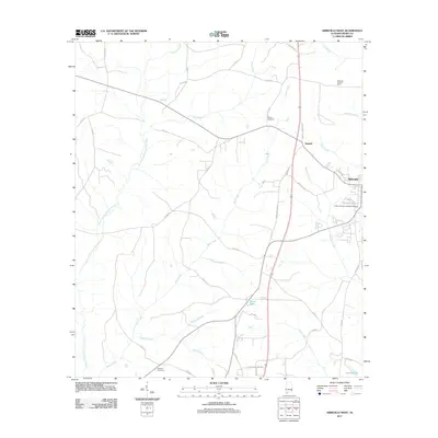 2011 Abbeville West2011 Print · USGSCovers Abbeville, including Graball, Henry County, and other nearby areas
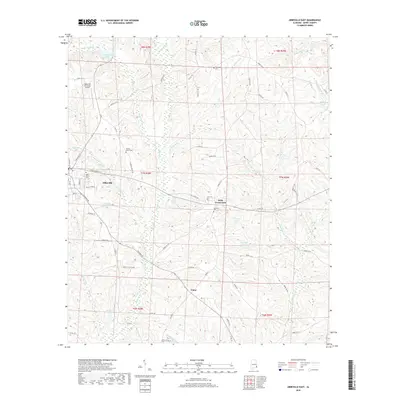
 - 2011 Map of Abbeville East, 2011 Print
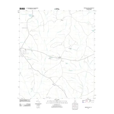 2011 Abbeville East2011 Print · USGSCovers Abbeville, including Turnerville, Union, and other nearby areas
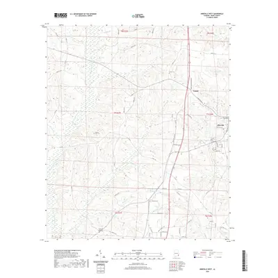
 - 2014 Map of Abbeville West, 2014 Print
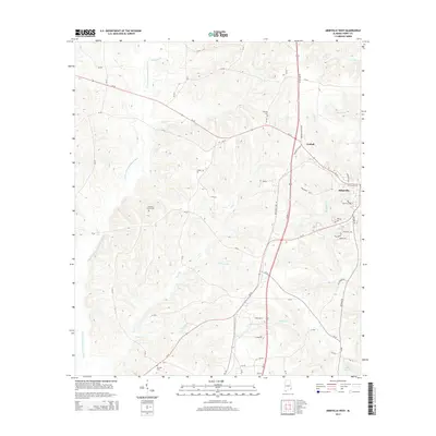 2014 Abbeville West2014 Print · USGSCovers Abbeville, including Graball, Henry County, and other nearby areas
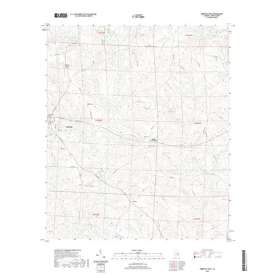
 - 2014 Map of Abbeville East, 2014 Print
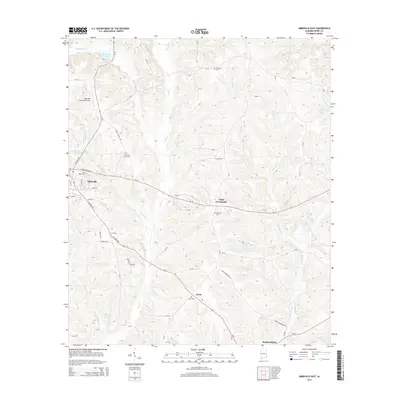 2014 Abbeville East2014 Print · USGSCovers Abbeville, including Turnerville, Union, and other nearby areas
 - 2018 Map of Abbeville West, 2018 Print
 2018 Abbeville West2018 Print · USGSCovers Abbeville, including Graball, Henry County, and other nearby areas
 - 2018 Map of Abbeville East, 2018 Print
 2018 Abbeville East2018 Print · USGSCovers Abbeville, including Turnerville, Union, and other nearby areas
 - 2020 Map of Abbeville West, 2020 Print
 2020 Abbeville West2020 Print · USGSCovers Abbeville, including Graball, Henry County, and other nearby areas
 - 2020 Map of Abbeville East, 2020 Print
 2020 Abbeville East2020 Print · USGSCovers Abbeville, including Turnerville, Union, and other nearby areas
 - 2024 Map of Abbeville East, 2024 Print
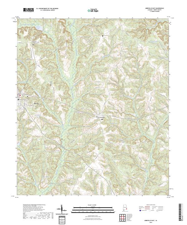 2024 Abbeville East2024 Print · USGSHenry County, Alabama, is documented here in its contemporary rural layout, centered on the seat of Abbeville. Genealogists and historians can trace numerous burial sites including Abbeville Pioneer Cem and Springhill Missionary Baptist Church Cem.
 - 2024 Map of Abbeville West, 2024 Print
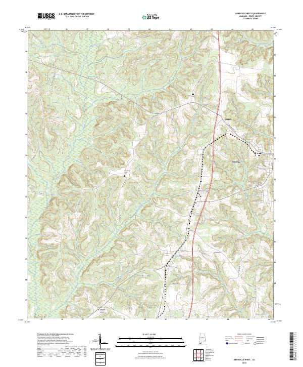 2024 Abbeville West2024 Print · USGSHenry County settlement and rural drainage patterns come into focus in this contemporary survey of the area west of Abbeville. Researchers can trace local lineage at Danzey Cem and Pleasant Grove Cem or locate landmarks like the Henry County Courthouse.
End of results
Showing maps 1-10 of 10
Top cities near Abbeville
- Eufaula historical maps
- Headland historical maps
- Fort Gaines historical maps
- Newville historical maps
- Bakerhill historical maps
- Haleburg historical maps
Top neighborhoods of Abbeville
Frequently asked questions
- What are the different types of historical maps available for Abbeville?
- What is the oldest map of Abbeville?
- Where can I purchase historical maps of Abbeville for my home or office?
- Where can I download high-res historical maps of Abbeville?
- Are there historical topographic maps available for Abbeville?
- Is there historical aerial imagery available for Abbeville?
- Where are historical maps of Abbeville sourced from?