Old Maps of Abbeville, Alabama for Genealogy
Trace your family roots with 17 historic maps of Abbeville. These high-res maps reveal old neighborhoods, homesites, landmarks, and streets — helping you uncover where your ancestors lived and how the area evolved over time.
- Explore historic neighborhoods: Identify where your relatives may have lived in the 1800s or 1900s.
- Compare maps over time: Trace the changes in streets, buildings, and landmarks for multi-generational research.
- Perfect for genealogy & ancestry research: Used by family historians and researchers to map out lineage and migration.
These maps are an incredible resource for exploring your personal connection to Abbeville's past.
Abbeville, AL maps
(17)- 1953 Map of Dothan, 1966 Print
 1953 Dothan1966 Print · USGSSoutheast Alabama and Southwest Georgia are captured during a period of massive hydraulic and military expansion in the mid-fifties. Genealogists and historians can trace rural landmarks like Antioch Church and School, the Andrew Jackson Monument, and the early footprint of Fort Rucker Military Reservation.3 unique versions available
 - 1954 Map of Dothan
 1954 Dothan1954 Print · USGSSoutheast Alabama and Southwest Georgia are seen here in the mid-fifties, during a decade of military expansion and rural transition. Genealogists can trace the location of country schools like Little Zion School or the grounds of Kolomoki Mounds State Park.
 - 1955 Map of Dothan
 1955 Dothan1955 Print · USGSSoutheast Alabama and Southwest Georgia are captured here in the mid-fifties, showing a landscape of river-port history and growing military bases. Researchers can trace rural life via the Andrew Jackson Monument, Bauxite mines, and the Central of Georgia RR.
 - 1969 Map of Abbeville West
 1969 Abbeville West1969 Print · USGSHenry County's rural character is preserved here in the late sixties as the town of Abbeville expands toward the East Fork Choctawhatchee River. Researchers can locate several family burial grounds like Hutto Cem and landmarks such as Murphy Station and the local Drive-in Theater.2 unique versions available
 - 1969 Map of Abbeville East, 1971 Print
 1969 Abbeville East1971 Print · USGSEastern Henry County in the late sixties shows the rural character of the Wiregrass region as it centers around the town of Abbeville. Genealogists can trace family names through landmarks like Tillis Pond, Wills Crossroads, and rural cemeteries like Ebenezer Cem.2 unique versions available
 - 1981 Map of Troy, 1982 Print
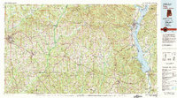 1981 Troy1982 Print · USGSThe Chattahoochee River valley and the wiregrass region of Alabama come alive in the early eighties as the Walter F George Reservoir reshapes the eastern border. Genealogists can trace family roots through historic railroad towns like Brundidge and Louisville or explore the rural surroundings of Blue Springs State Park.
 - 1997 Map of Clopton
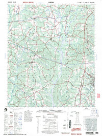 1997 Clopton1997 Print · USGSSoutheast Alabama at the close of the twentieth century reveals a landscape of river-fed hamlets and rural schoolhouses. Researchers can map family roots near Lawrenceville and Clopton, or trace the legacy of sites like the County Training School and Murphy Station.
 - 2011 Map of Abbeville West, 2011 Print
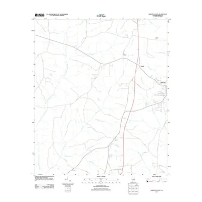 2011 Abbeville West2011 Print · USGSHenry County in the early twenty-first century shows a landscape where historic rural settlements meet modern regional infrastructure. Genealogists and local historians can trace the areas surrounding Abbeville, Danzey Cemetery, and the old Abbeville Lookout Tower.
 - 2011 Map of Abbeville East, 2011 Print
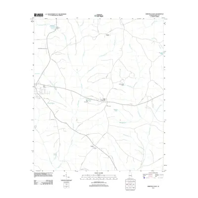 2011 Abbeville East2011 Print · USGSHenry County is mapped in 2011 as a landscape of rural junctions and family-named ponds just east of the city. Genealogists and local historians can trace the roads between Wills Crossroads and Union, locating Saint Peters Cemetery and the G B Mathison Dam.
 - 2014 Map of Abbeville West, 2014 Print
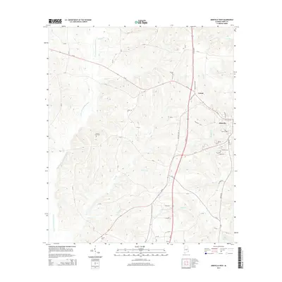 2014 Abbeville West2014 Print · USGSHenry County is shown in detail during the early 21st century as the Great Southern Rry and US highways intersect near Abbeville. Researchers can locate several family and community landmarks, such as Roeville Cem, Graball, and Pleasant Grove Cem.
 - 2014 Map of Abbeville East, 2014 Print
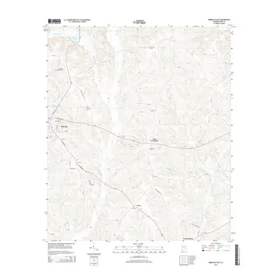 2014 Abbeville East2014 Print · USGSSoutheast Alabama in the early 2010s reveals a landscape of rural crossroads and established cemeteries east of the Henry County seat. Researchers can trace family history at Saint Peters Cem and Old Zion Cem or locate the small communities of Wills Crossroads and Hardwickburg.
 - 2018 Map of Abbeville West, 2018 Print
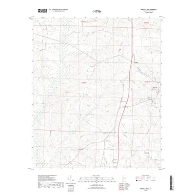 2018 Abbeville West2018 Print · USGSHenry County is captured in the late 2010s as a landscape of rural crossroads and river tributaries. Researchers can trace family history through sites like Roeville Cem and Pleasant Grove Cem or follow the waters of the E Fork Choctawhatchee River.
 - 2018 Map of Abbeville East, 2018 Print
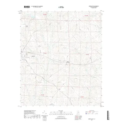 2018 Abbeville East2018 Print · USGSHenry County settlement and drainage patterns are recorded here in the late twenty-teens. Genealogists and local historians can trace family locations near Wills Crossroads, Saint Peters Cem, and the waters of Abbie Cr.
 - 2020 Map of Abbeville West, 2020 Print
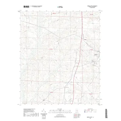 2020 Abbeville West2020 Print · USGSHenry County is captured in this modern survey as the town of Abbeville expands westward toward the E Fork Choctawhatchee River. Genealogists and local historians can trace the locations of the Danzey Cem, the settlement of Graball, and the historic Henry County Courthouse.
 - 2020 Map of Abbeville East, 2020 Print
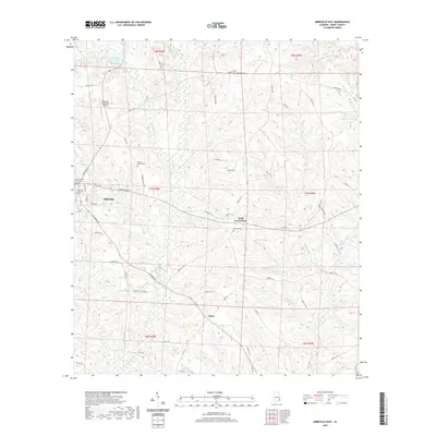 2020 Abbeville East2020 Print · USGSSoutheast Alabama is seen here in recent years, centered on the county seat and the surrounding agricultural landscapes. Genealogists and historians can trace family locations near Wills Crossroads or find old burial grounds like Ebenezer Cem and the Abbeville Pioneer Cem.
 - 2024 Map of Abbeville East, 2024 Print
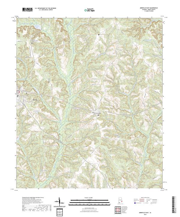 2024 Abbeville East2024 Print · USGSHenry County, Alabama, is documented here in its contemporary rural layout, centered on the seat of Abbeville. Genealogists and historians can trace numerous burial sites including Abbeville Pioneer Cem and Springhill Missionary Baptist Church Cem.
 - 2024 Map of Abbeville West, 2024 Print
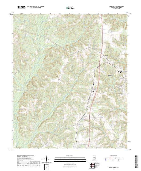 2024 Abbeville West2024 Print · USGSHenry County settlement and rural drainage patterns come into focus in this contemporary survey of the area west of Abbeville. Researchers can trace local lineage at Danzey Cem and Pleasant Grove Cem or locate landmarks like the Henry County Courthouse.
End of results
Showing maps 1-17 of 17
Top cities near Abbeville
- Eufaula historical maps
- Headland historical maps
- Fort Gaines historical maps
- Newville historical maps
- Bakerhill historical maps
- Haleburg historical maps
Top neighborhoods of Abbeville
Frequently asked questions
- What are the different types of historical maps available for Abbeville?
- What is the oldest map of Abbeville?
- Where can I purchase historical maps of Abbeville for my home or office?
- Where can I download high-res historical maps of Abbeville?
- Are there historical topographic maps available for Abbeville?
- Is there historical aerial imagery available for Abbeville?
- Where are historical maps of Abbeville sourced from?