Old Maps of Columbia, Alabama for Academic Research
Study the evolution of Columbia with 17 high-resolution historic maps. Whether you're teaching, researching, or modeling changes in land use, these maps provide essential visual documentation of urban, environmental, and geographic change.
- Analyze long-term change: Track patterns in development, transportation, and natural features.
- Ideal for environmental or urban studies: Support academic projects with primary historical map data.
- Use in the classroom or lab: Educators and researchers rely on these maps to bring historical context to life.
These maps are a powerful tool for teaching, research, and visualizing how Columbia has changed over the decades.
Columbia, AL maps
(17)- 1953 Map of Dothan, 1966 Print
 1953 Dothan1966 Print · USGSSoutheast Alabama and Southwest Georgia are captured during a period of massive hydraulic and military expansion in the mid-fifties. Genealogists and historians can trace rural landmarks like Antioch Church and School, the Andrew Jackson Monument, and the early footprint of Fort Rucker Military Reservation.3 unique versions available
 - 1954 Map of Dothan
 1954 Dothan1954 Print · USGSSoutheast Alabama and Southwest Georgia are seen here in the mid-fifties, during a decade of military expansion and rural transition. Genealogists can trace the location of country schools like Little Zion School or the grounds of Kolomoki Mounds State Park.
 - 1955 Map of Dothan
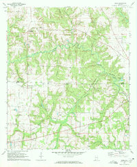
 1955 Dothan1955 Print · USGSSoutheast Alabama and Southwest Georgia are captured here in the mid-fifties, showing a landscape of river-port history and growing military bases. Researchers can trace rural life via the Andrew Jackson Monument, Bauxite mines, and the Central of Georgia RR.
 - 1970 Map of Sigma, 1972 Print
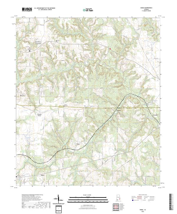
 1970 Sigma1972 Print · USGSHouston and Henry County during the early seventies show a landscape of rural crossroads and family settlements. Genealogists can trace local heritage through the Old Pleasant Plains Cem, Sardis Ch, and the Central of Georgia rail line.
 - 1970 Map of Columbia, 1972 Print
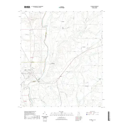
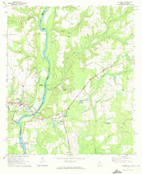 1970 Columbia1972 Print · USGSThe Chattahoochee River corridor at the start of the 1970s shows a landscape of river-based industry and rural community life. Genealogists and historians can locate family landmarks like Grier Cem, Freeman Chapel, and the George W Andrews Lock and Dam.2 unique versions available
 - 1980 Map of Columbia, 1984 Print
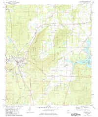 1980 Columbia1984 Print · USGSShelby County's civic center and surrounding hill country are captured here just as the modern era began to reshape traditional landscapes. Local historians can trace family roots at Pine Lawn Gardens and Johnson Cem or follow the rail lines through Nelson.
 - 1981 Map of Dothan, 1982 Print
 1981 Dothan1982 Print · USGSSoutheast Alabama and the tri-state border region are shown here in the early 1980s as the area thrived on military and rail connectivity. Researchers can trace historic transit lines like the Hartford and Slocomb railroad or locate family roots in Ozark, Headland, and Geneva.
 - 2011 Map of Columbia, 2011 Print
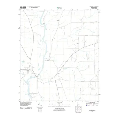 2011 Columbia2011 Print · USGSCovers Columbia, including Luke, Freeman, and other nearby areas2 unique versions available
 - 2011 Map of Sigma, 2011 Print
 2011 Sigma2011 Print · USGSCovers Columbia, including Hebron, Pleasant Plains, and other nearby areas
 - 2014 Map of Sigma, 2014 Print
 2014 Sigma2014 Print · USGSCovers Columbia, including Hebron, Pleasant Plains, and other nearby areas
 - 2014 Map of Columbia, 2014 Print
 2014 Columbia2014 Print · USGSCovers Columbia, including Luke, Freeman, and other nearby areas
 - 2018 Map of Sigma, 2018 Print
 2018 Sigma2018 Print · USGSCovers Columbia, including Hebron, Pleasant Plains, and other nearby areas
 - 2018 Map of Columbia, 2018 Print
 2018 Columbia2018 Print · USGSCovers Columbia, including Luke, Freeman, and other nearby areas
 - 2020 Map of Columbia, 2020 Print
 2020 Columbia2020 Print · USGSCovers Columbia, including Luke, Freeman, and other nearby areas
 - 2020 Map of Sigma, 2020 Print
 2020 Sigma2020 Print · USGSCovers Columbia, including Hebron, Pleasant Plains, and other nearby areas
 - 2024 Map of Sigma, 2024 Print
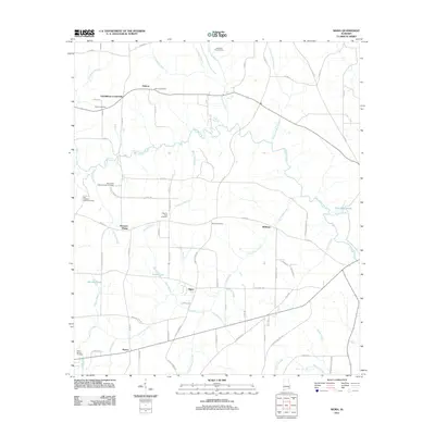
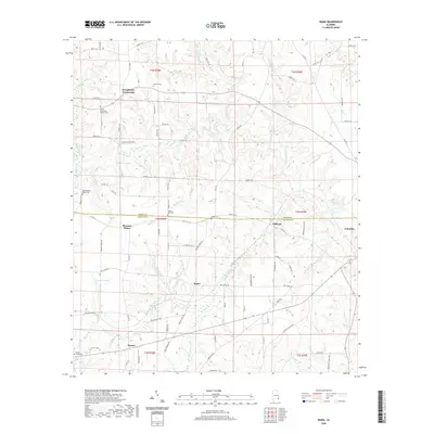
 2024 Sigma2024 Print · USGSSoutheast Alabama's rural landscapes are documented here in the early twenty-first century, showing the borderlands of Henry and Houston counties. Researchers can trace family history through sites like Old Pleasant Plains Cem, Hebron Cem, and Grandberry Crossroads.
 - 2024 Map of Columbia, 2024 Print
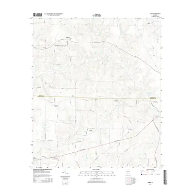
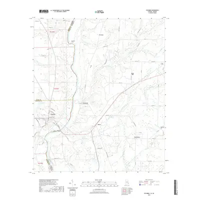
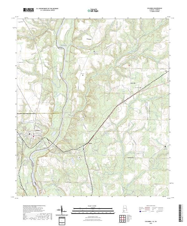 2024 Columbia2024 Print · USGSThe riverfront town of Columbia and the surrounding borderlands of the Chattahoochee River are shown here in recent detail. Genealogists can trace family roots at several local sites including Grier Cem, Rock Hill Cem, and Zion Freewill Baptist Cem.
End of results
Showing maps 1-17 of 17
Top cities near Columbia
- Dothan historical maps
- Headland historical maps
- Blakely historical maps
- Ashford historical maps
- Kinsey historical maps
- Cowarts historical maps
See more
Frequently asked questions
- What are the different types of historical maps available for Columbia?
- What is the oldest map of Columbia?
- Where can I purchase historical maps of Columbia for my home or office?
- Where can I download high-res historical maps of Columbia?
- Are there historical topographic maps available for Columbia?
- Is there historical aerial imagery available for Columbia?
- Where are historical maps of Columbia sourced from?