Old Maps of Rehobeth, Alabama for Academic Research
Study the evolution of Rehobeth with 16 high-resolution historic maps. Whether you're teaching, researching, or modeling changes in land use, these maps provide essential visual documentation of urban, environmental, and geographic change.
- Analyze long-term change: Track patterns in development, transportation, and natural features.
- Ideal for environmental or urban studies: Support academic projects with primary historical map data.
- Use in the classroom or lab: Educators and researchers rely on these maps to bring historical context to life.
These maps are a powerful tool for teaching, research, and visualizing how Rehobeth has changed over the decades.
Rehobeth, AL maps
(16)- 1953 Map of Dothan, 1966 Print
 1953 Dothan1966 Print · USGSSoutheast Alabama and Southwest Georgia are captured during a period of massive hydraulic and military expansion in the mid-fifties. Genealogists and historians can trace rural landmarks like Antioch Church and School, the Andrew Jackson Monument, and the early footprint of Fort Rucker Military Reservation.3 unique versions available
 - 1954 Map of Dothan
 1954 Dothan1954 Print · USGSSoutheast Alabama and Southwest Georgia are seen here in the mid-fifties, during a decade of military expansion and rural transition. Genealogists can trace the location of country schools like Little Zion School or the grounds of Kolomoki Mounds State Park.
 - 1955 Map of Dothan
 1955 Dothan1955 Print · USGSSoutheast Alabama and Southwest Georgia are captured here in the mid-fifties, showing a landscape of river-port history and growing military bases. Researchers can trace rural life via the Andrew Jackson Monument, Bauxite mines, and the Central of Georgia RR.
 - 1969 Map of Dothan West, 1971 Print
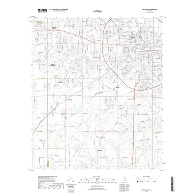
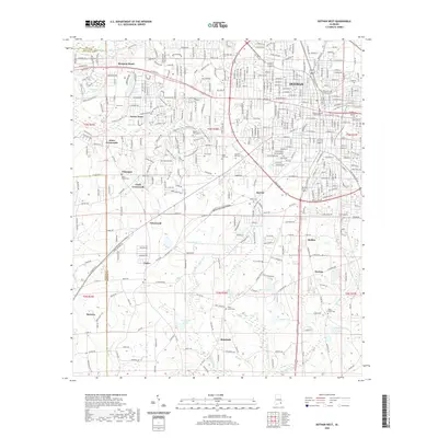
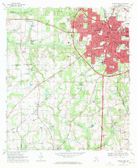 1969 Dothan West1971 Print · USGSDothan and its surrounding crossroads are captured here during a period of significant regional expansion in the late sixties. Researchers can trace historic schools and cemeteries such as Rehobeth High Sch, Carver High Sch, and Mt Zion Cem across the Wiregrass landscape.2 unique versions available
 - 1969 Map of Madrid, 1972 Print
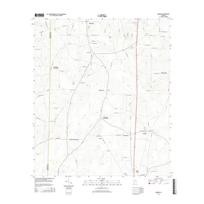
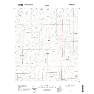
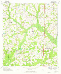 1969 Madrid1972 Print · USGSSoutheastern Alabama's rural landscape comes into focus here during the late sixties as the region’s agricultural and rail patterns remained firmly established. Genealogists can trace family footprints near Madrid and rural church sites like Mt Enon Ch or New Hope Ch.2 unique versions available
 - 1981 Map of Dothan, 1982 Print
 1981 Dothan1982 Print · USGSSoutheast Alabama and the tri-state border region are shown here in the early 1980s as the area thrived on military and rail connectivity. Researchers can trace historic transit lines like the Hartford and Slocomb railroad or locate family roots in Ozark, Headland, and Geneva.
 - 2011 Map of Madrid, 2011 Print
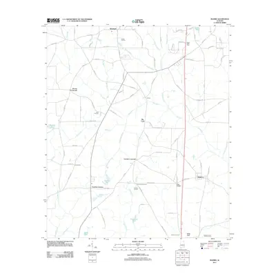 2011 Madrid2011 Print · USGSCovers Rehobeth, including Madrid, Sanders Spur, and other nearby areas
 - 2011 Map of Dothan West, 2011 Print
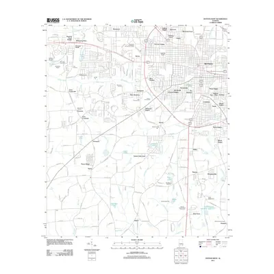 2011 Dothan West2011 Print · USGSCovers Rehobeth, including Dothan, Taylor, and other nearby areas
 - 2014 Map of Dothan West, 2014 Print
 2014 Dothan West2014 Print · USGSCovers Rehobeth, including Dothan, Taylor, and other nearby areas
 - 2014 Map of Madrid, 2014 Print
 2014 Madrid2014 Print · USGSCovers Rehobeth, including Madrid, Sanders Spur, and other nearby areas
 - 2018 Map of Madrid, 2018 Print
 2018 Madrid2018 Print · USGSCovers Rehobeth, including Madrid, Sanders Spur, and other nearby areas
 - 2018 Map of Dothan West, 2018 Print
 2018 Dothan West2018 Print · USGSCovers Rehobeth, including Dothan, Taylor, and other nearby areas
 - 2020 Map of Madrid, 2020 Print
 2020 Madrid2020 Print · USGSCovers Rehobeth, including Madrid, Sanders Spur, and other nearby areas
 - 2020 Map of Dothan West, 2020 Print
 2020 Dothan West2020 Print · USGSCovers Rehobeth, including Dothan, Taylor, and other nearby areas
 - 2024 Map of Dothan West, 2024 Print
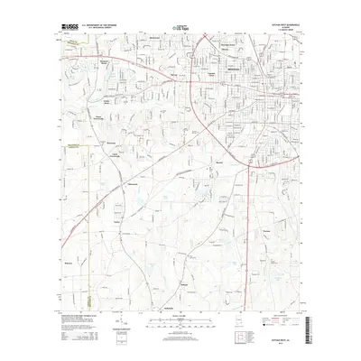
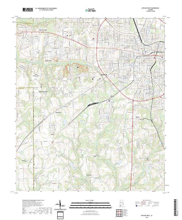 2024 Dothan West2024 Print · USGSHouston County's western outskirts and the heart of Dothan are revealed in this modern survey of Southeast Alabama. Genealogists can trace family landmarks and burial sites from Houston County Courthouse to rural spots like Memory Hill Cem and Jones Crossroads.
 - 2024 Map of Madrid, 2024 Print
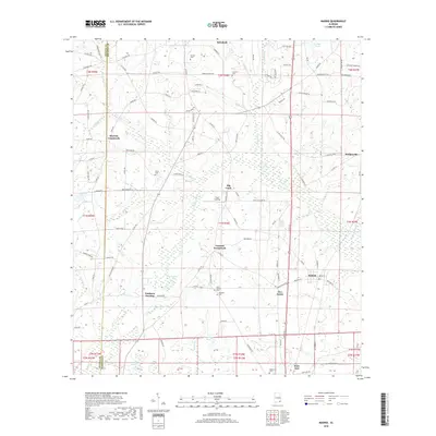
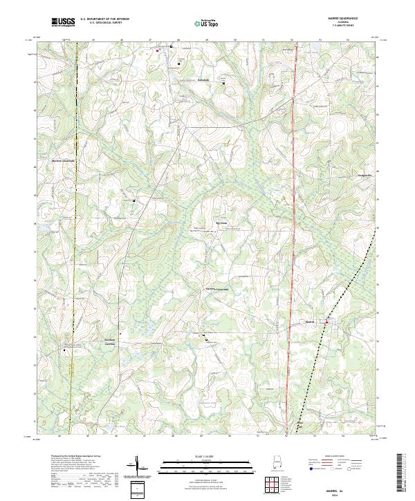 2024 Madrid2024 Print · USGSThe rural crossroads and family settlements of southern Houston County are detailed here in the modern era. Genealogists can trace family landmarks and burial sites like Registers Cem, Saint Phillips Cem, and the community at Southern Junction.
End of results
Showing maps 1-16 of 16
Top cities near Rehobeth
- Dothan historical maps
- Headland historical maps
- Daleville historical maps
- Hartford historical maps
- Taylor historical maps
- Ashford historical maps
See more
Top neighborhoods of Rehobeth
Frequently asked questions
- What are the different types of historical maps available for Rehobeth?
- What is the oldest map of Rehobeth?
- Where can I purchase historical maps of Rehobeth for my home or office?
- Where can I download high-res historical maps of Rehobeth?
- Are there historical topographic maps available for Rehobeth?
- Is there historical aerial imagery available for Rehobeth?
- Where are historical maps of Rehobeth sourced from?