Old Maps of Hytop, Alabama for Hiking & Exploration
Hike through history with 24 historic maps of Hytop. Explore old trails, ghost towns, and forgotten backroads — perfect for outdoor adventurers and local explorers.
- Rediscover forgotten places: Map out old mining camps, roads, and footpaths that no longer exist on modern maps.
- Layer with modern tools: Combine with LiDAR or satellite views to plan hikes through historical terrain.
- Made for exploration: Popular among hikers, overlanders, and local history lovers.
Use these maps to find adventure and explore the hidden past of Hytop.
Hytop, AL maps
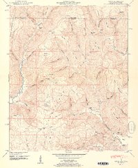
(24)- 1888 Map of Scottsboro
 1888 Scottsboro1888 Print · USGSNortheast Alabama is shown in the late nineteenth century as a land of steep plateaus and vital river crossings. Genealogists and researchers can trace the early rail-and-river economy through family landmarks like Caldwell's Ferry and the Bell Factory textile site.
 - 1892 Map of Scottsboro
 1892 Scottsboro1892 Print · USGSJackson County and the Tennessee River valley are captured here in the late nineteenth century, just as railroads began to reshape local commerce. Genealogists can trace family-named sites like Owen's Cross Roads, Carrick Mill, and Larkin Landing.5 unique versions available
 - 1936 Map of Mud Creek
 1936 Mud Creek1936 Print · USGSJackson County in the mid-1930s shows a landscape of mountain plateaus and creek-side settlements. Genealogists can locate family landmarks like Bynum Cem, Fairfield Sch, and the community of Tupelo.
 - 1936 Map of Hytop
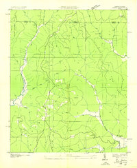 1936 Hytop1936 Print · USGSThe high plateau of Jackson County is captured here in the mid-1930s as the Tennessee Valley Authority began mapping the Cumberland region. Genealogists and historians can trace family-named landmarks and rural hubs like Hytop, the Walnut Grove Sch, and Jericho.
 - 1948 Map of Hytop, 1956 Print
 1948 Hytop1956 Print · USGSThe Alabama-Tennessee borderlands in the late 1940s reveal a landscape of isolated plateau settlements and deep family roots. Genealogists can locate old family burial sites like Knight Cem and Clark Cem or trace the early community at Hytop.2 unique versions available
 - 1948 Map of Mud Creek, 1975 Print
 1948 Mud Creek1975 Print · USGSJackson County in the late 1940s reveals a rural landscape defined by the Cumberland Plateau and its deeply carved hollows. Genealogists can trace family names through numerous landmarks like Holland Chapel, Skyline Cem, and the Tupelo settlement.5 unique versions available
 - 1951 Map of Mud Creek
 1951 Mud Creek1951 Print · USGSJackson County, Alabama, is captured here in the early 1950s, showing a rugged landscape of ridges and coves before modern development. Family historians can trace ancestral roots through dozens of local landmarks like Holland Chapel, Kyles Sch No 1, and the Maynard Cove settlement.2 unique versions available
 - 1951 Map of Hytop
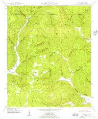
 1951 Hytop1951 Print · USGSThe Cumberland Plateau of Jackson County is captured here in the early fifties, showing a remote landscape of high ridges and deep coves. Genealogists can trace family landmarks like Walnut Grove School and numerous burial sites including Clark Cem and Haddon Cem.2 unique versions available
 - 1956 Map of Gadsden, 1966 Print
 1956 Gadsden1966 Print · USGSNorth Alabama in the mid-1950s shows a region transformed by river engineering and federal industry. Genealogists and local historians can trace the development of the Tennessee Valley through the growth of Huntsville, the sprawling Redstone Arsenal, and the expansive Guntersville Lake.3 unique versions available
 - 1958 Map of Gadsden
 1958 Gadsden1958 Print · USGSNorth Alabama comes alive in the late 1950s as the Tennessee Valley Authority’s massive river projects and the rise of the space industry reshaped the landscape. Researchers can trace the mid-century footprints of Huntsville, Redstone Arsenal, and the riverside rail networks of the Southern railroad.
 - 1960 Map of Gadsden
 1960 Gadsden1960 Print · USGSNorthern Alabama in the mid-1950s is defined by the mighty Tennessee River and its massive reservoirs. Trace the development of Huntsville and Redstone Arsenal or explore the vast William B Bankhead National Forest.2 unique versions available
 - 1963 Map of Gadsden
 1963 Gadsden1963 Print · USGSNorthern Alabama underwent a dramatic mid-century transformation as the Tennessee Valley became a hub for defense and industry. Researchers can trace the development of the Redstone Arsenal, the route of the Natchez Trace Parkway, and long-standing rail lines like the Southern Railway.
 - 1984 Map of Huntsville, 1986 Print
 1984 Huntsville1986 Print · USGSNorthern Alabama and the Tennessee borderlands are captured in the mid-eighties as Huntsville and the Redstone Arsenal expand. Researchers can trace rural landmarks from Woodlin Mill to the Cumberland Plateau and old rail lines like the Southern.3 unique versions available
 - 2010 Map of Hytop, 2010 Print
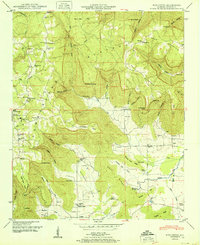
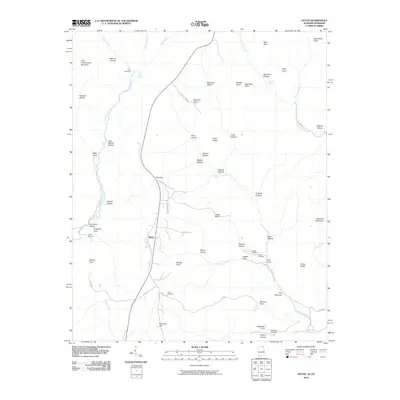 2010 Hytop2010 Print · USGSCovers Hytop, including Jericho, Jackson County, and other nearby areas
 - 2011 Map of Mud Creek, 2011 Print
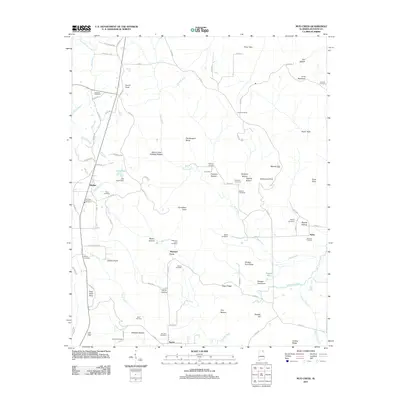 2011 Mud Creek2011 Print · USGSCovers Hytop, including Skyline, Tupelo, and other nearby areas
 - 2011 Map of Hytop, 2011 Print
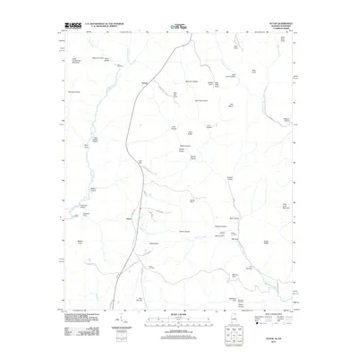 2011 Hytop2011 Print · USGSCovers Hytop, including Jericho, Jackson County, and other nearby areas
 - 2014 Map of Mud Creek, 2014 Print
 2014 Mud Creek2014 Print · USGSCovers Hytop, including Skyline, Tupelo, and other nearby areas
 - 2014 Map of Hytop, 2014 Print
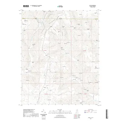
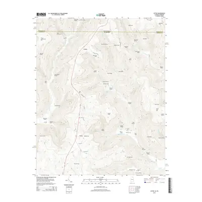 2014 Hytop2014 Print · USGSCovers Hytop, including Jericho, Jackson County, and other nearby areas
 - 2018 Map of Mud Creek, 2018 Print
 2018 Mud Creek2018 Print · USGSCovers Hytop, including Skyline, Tupelo, and other nearby areas
 - 2018 Map of Hytop, 2018 Print
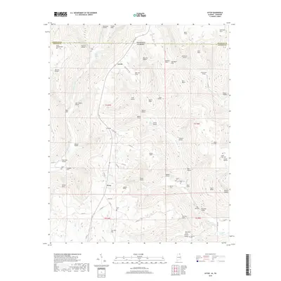 2018 Hytop2018 Print · USGSCovers Hytop, including Jericho, Jackson County, and other nearby areas
 - 2020 Map of Mud Creek, 2020 Print
 2020 Mud Creek2020 Print · USGSCovers Hytop, including Skyline, Tupelo, and other nearby areas
 - 2020 Map of Hytop, 2020 Print
 2020 Hytop2020 Print · USGSCovers Hytop, including Jericho, Jackson County, and other nearby areas
 - 2024 Map of Hytop, 2024 Print
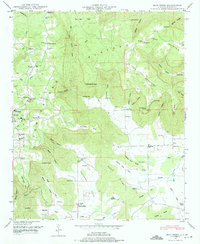
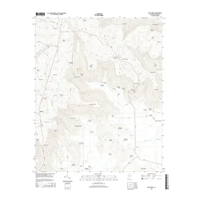
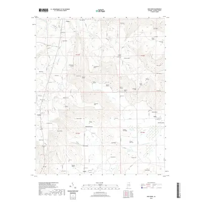
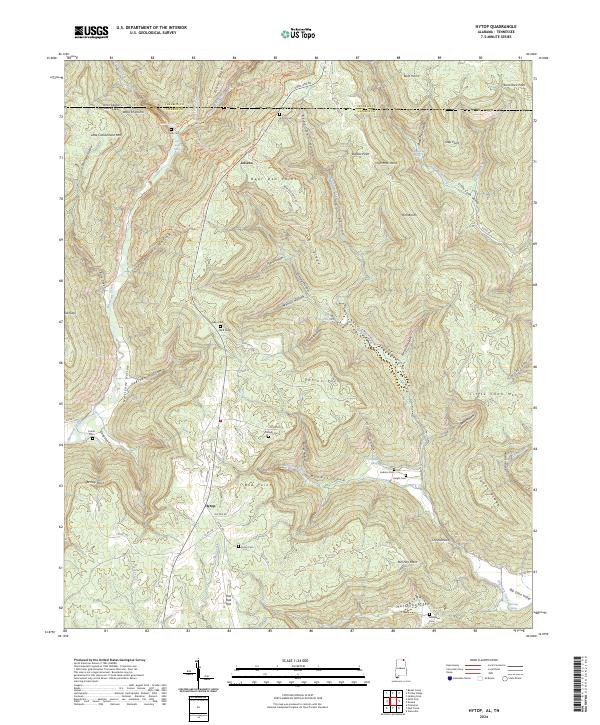 2024 Hytop2024 Print · USGSThe Alabama-Tennessee borderlands in Jackson County come alive in this survey of the high plateau and its deep coves. Genealogists and hikers can trace remote burial sites like Knight Cem and Bean Cem or explore the routes of the Walls of Jericho Hiking Trl.
 - 2024 Map of Mud Creek, 2024 Print
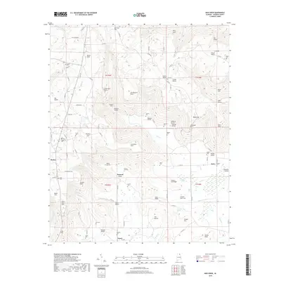
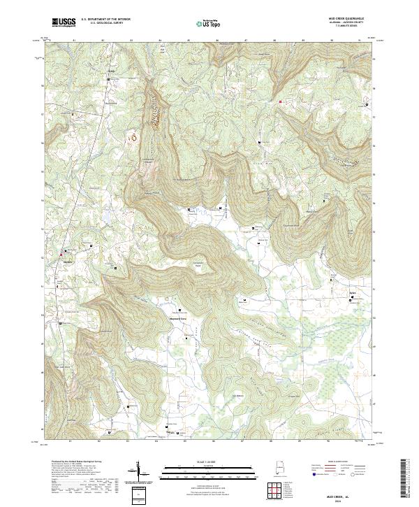 2024 Mud Creek2024 Print · USGSJackson County's upland coves and plateau ridges are captured here in the 2020s. Genealogists can trace deep local roots at sites like Blowing Caves Cem, Andrews Cem, and the communities of Skyline and Maynard Cove.
End of results
Showing maps 1-24 of 24
Top cities near Hytop
- Scottsboro historical maps
- Stevenson historical maps
- Hollywood historical maps
- Huntland historical maps
- Skyline historical maps
- Pisgah historical maps
See more
Frequently asked questions
- What are the different types of historical maps available for Hytop?
- What is the oldest map of Hytop?
- Where can I purchase historical maps of Hytop for my home or office?
- Where can I download high-res historical maps of Hytop?
- Are there historical topographic maps available for Hytop?
- Is there historical aerial imagery available for Hytop?
- Where are historical maps of Hytop sourced from?