Old Maps of Pleasant Groves, Alabama
Explore 23 old maps of Pleasant Groves, spanning from 1888 to today. These high-resolution historic maps reveal how streets, neighborhoods, landmarks, and natural features evolved over time — perfect for genealogy, metal detecting, research, and local history exploration.
What you can do with these maps:
- See how Pleasant Groves changed over time: Compare historical maps to modern-day views to trace roads, homesites, rail lines & more.
- View detailed metadata: Each map includes creators, publishers, year, scale, and archive source.
- Overlay maps with satellite & LiDAR: Visualize the past alongside modern tools to explore terrain & human change.
- Trusted historical sources: Maps sourced from the USGS, Library of Congress, and other archives.
- Access maps your way: View online, download high-res files, or order prints for personal or research use.
Start exploring old maps of Pleasant Groves to uncover forgotten places, hidden landmarks, and the deep history beneath your feet.
Pleasant Groves, AL maps
(23)- 1888 Map of Scottsboro
 1888 Scottsboro1888 Print · USGSNortheast Alabama is shown in the late nineteenth century as a land of steep plateaus and vital river crossings. Genealogists and researchers can trace the early rail-and-river economy through family landmarks like Caldwell's Ferry and the Bell Factory textile site.
 - 1892 Map of Scottsboro
 1892 Scottsboro1892 Print · USGSJackson County and the Tennessee River valley are captured here in the late nineteenth century, just as railroads began to reshape local commerce. Genealogists can trace family-named sites like Owen's Cross Roads, Carrick Mill, and Larkin Landing.5 unique versions available
 - 1936 Map of Princeton
 1936 Princeton1936 Print · USGSThe Paint Rock River valley in the mid-1930s was a network of cove-based farmsteads and upland mines. Genealogy researchers can locate family sites near Princeton, the Camp Ground Ch, and coal operations at Jacobs Mine.
 - 1936 Map of Lim Rock
 1936 Lim Rock1936 Print · USGSJackson County in the mid-1930s shows a landscape of rail-side towns and mountain hollows as the new reservoir begins to take shape. Researchers can trace ancestral roots through sites like Lim Rock Sch, Wininger, and the Bethlehem Ch.
 - 1947 Map of Lim Rock, 1974 Print
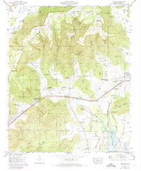 1947 Lim Rock1974 Print · USGSJackson County rural life is captured here in the mid-twentieth century, centered on the valley floor between the plateau and the Tennessee River backwaters. Genealogists can locate family landmarks like Peters Cove Cem, Letcher Ch, and the old Lim Rock School.2 unique versions available
 - 1948 Map of Princeton, 1973 Print
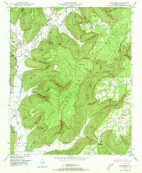 1948 Princeton1973 Print · USGSThe Paint Rock River valley in the late 1940s reveals a landscape of isolated farming communities and family-named hollows. Trace your ancestry through local landmarks like Princeton, the Guess Creek Church, and family cemeteries including Latham Cem and Clay Cem.3 unique versions available
 - 1950 Map of Lim Rock
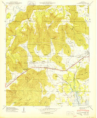 1950 Lim Rock1950 Print · USGSJackson County settlement and the Southern Railway come into focus in this mid-century look at the Cumberland Plateau edge. Researchers can trace rural life through landmarks like Lim Rock School, Larkinsville, and the Peters Cove Cem.2 unique versions available
 - 1951 Map of Princeton
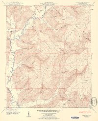 1951 Princeton1951 Print · USGSJackson County valley life in the early fifties centers on the river forks and mountain coves. Genealogists can trace family names at Latham Cem and Prince Cem or locate the rural congregations of Camp Ground Church and Guess Creek Church.2 unique versions available
 - 1956 Map of Gadsden, 1966 Print
 1956 Gadsden1966 Print · USGSNorth Alabama in the mid-1950s shows a region transformed by river engineering and federal industry. Genealogists and local historians can trace the development of the Tennessee Valley through the growth of Huntsville, the sprawling Redstone Arsenal, and the expansive Guntersville Lake.3 unique versions available
 - 1958 Map of Gadsden
 1958 Gadsden1958 Print · USGSNorth Alabama comes alive in the late 1950s as the Tennessee Valley Authority’s massive river projects and the rise of the space industry reshaped the landscape. Researchers can trace the mid-century footprints of Huntsville, Redstone Arsenal, and the riverside rail networks of the Southern railroad.
 - 1960 Map of Gadsden
 1960 Gadsden1960 Print · USGSNorthern Alabama in the mid-1950s is defined by the mighty Tennessee River and its massive reservoirs. Trace the development of Huntsville and Redstone Arsenal or explore the vast William B Bankhead National Forest.2 unique versions available
 - 1963 Map of Gadsden
 1963 Gadsden1963 Print · USGSNorthern Alabama underwent a dramatic mid-century transformation as the Tennessee Valley became a hub for defense and industry. Researchers can trace the development of the Redstone Arsenal, the route of the Natchez Trace Parkway, and long-standing rail lines like the Southern Railway.
 - 1984 Map of Huntsville, 1986 Print
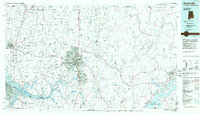 1984 Huntsville1986 Print · USGSNorthern Alabama and the Tennessee borderlands are captured in the mid-eighties as Huntsville and the Redstone Arsenal expand. Researchers can trace rural landmarks from Woodlin Mill to the Cumberland Plateau and old rail lines like the Southern.3 unique versions available
 - 2011 Map of Lim Rock, 2011 Print
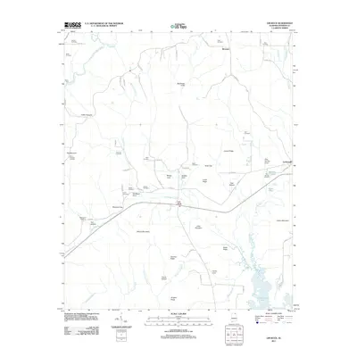 2011 Lim Rock2011 Print · USGSJackson County settlement and topography are well-defined in this 2011 survey of the area surrounding Lim Rock. Researchers can trace dozens of family-named landmarks and burial sites, from Flippo Ford on the river to the Mount Pleasant Cemetery and Gold Cemetery.
 - 2011 Map of Princeton, 2011 Print
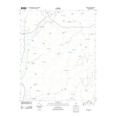 2011 Princeton2011 Print · USGSJackson County's river valleys and mountain coves are meticulously detailed in this early twenty-first-century survey. Researchers can locate family landmarks like the Larkin Fork Post Office, Church Hill Cemetery, and the small community of Little Nashville.
 - 2014 Map of Princeton, 2014 Print
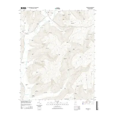 2014 Princeton2014 Print · USGSJackson County settlement and the Cumberland Plateau margin are shown here as they appeared in the early 2010s. Genealogists can locate several remote burial grounds like Church Hill Cem and Latham Cem near the communities of Princeton and Skyline.
 - 2014 Map of Lim Rock, 2014 Print
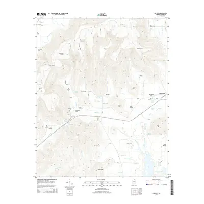 2014 Lim Rock2014 Print · USGSJackson County in the early twenty-first century reveals a landscape where the Cumberland Plateau meets the Tennessee River valley. Genealogists and hikers can trace numerous family cemeteries and landmark gaps like Harrison Cem, Stephens Gap, and Berrys Cove.
 - 2018 Map of Lim Rock, 2018 Print
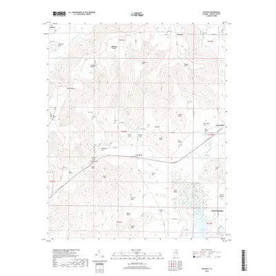 2018 Lim Rock2018 Print · USGSJackson County in the late twenty-teens reveals a landscape of high plateau sinks and river-bottom wetlands. Genealogists can trace family legacies through numerous rural burial sites like Harrison Cem, Isbell Cem, and Blue Spring Cem.
 - 2018 Map of Princeton, 2018 Print
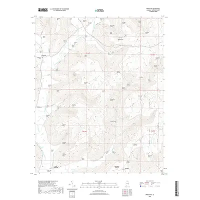 2018 Princeton2018 Print · USGSJackson County's rugged plateau country is captured here in the late twenty-tens, highlighting the enduring rural character of the Paint Rock River valley. Genealogists can locate several local burial sites, such as Church Hill Cem, Graham Cem, and Latham Cem.
 - 2020 Map of Princeton, 2020 Print
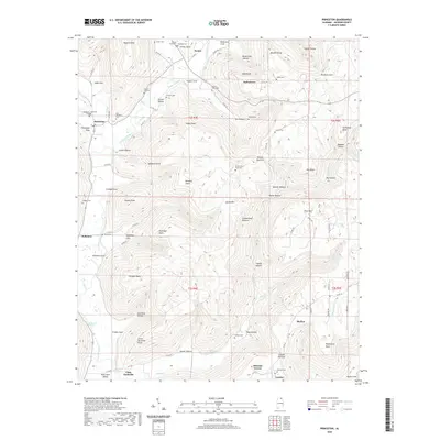 2020 Princeton2020 Print · USGSJackson County's river valleys and plateau heights are recorded here in the modern era. Genealogists can trace family heritage through numerous remote burial sites like Latham Cem and Indian Grave Pond Cem near Princeton and Skyline.
 - 2020 Map of Lim Rock, 2020 Print
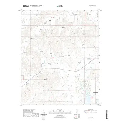 2020 Lim Rock2020 Print · USGSJackson County's rugged plateau and valley floor are documented here during the early twenty-first century. Genealogists can trace family landmarks and burial sites like Pleasant Groves Holiness Church Cem, Wininger and Gentle Cem, and Webb Cem.
 - 2024 Map of Princeton, 2024 Print
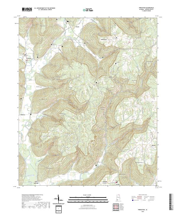 2024 Princeton2024 Print · USGSThe Paint Rock River valley and the Cumberland Plateau highlands are meticulously documented in this recent Jackson County survey. Genealogists can locate family landmarks such as Old Taliaferro Cem and Carden Cem near the communities of Princeton and Hollytree.
 - 2024 Map of Lim Rock, 2024 Print
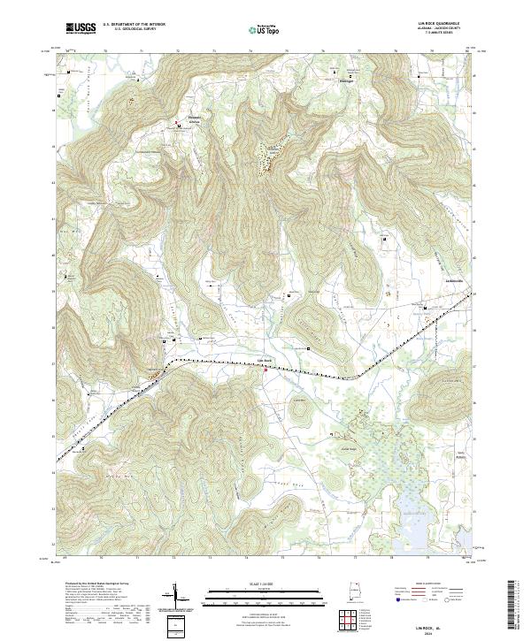 2024 Lim Rock2024 Print · USGSJackson County's rugged plateau country is captured here in recent years, showing the high ridges and deep coves of the Tennessee Valley region. Genealogists can locate numerous small family burial grounds like Pace Cem and Webb Cem or trace the geography of settlements like Larkinsville and Lim Rock.
End of results
Showing maps 1-23 of 23
Top cities near Pleasant Groves
- Huntsville historical maps
- Scottsboro historical maps
- New Hope historical maps
- Owens Cross Roads historical maps
- Grant historical maps
- Hollywood historical maps
See more
Frequently asked questions
- What are the different types of historical maps available for Pleasant Groves?
- What is the oldest map of Pleasant Groves?
- Where can I purchase historical maps of Pleasant Groves for my home or office?
- Where can I download high-res historical maps of Pleasant Groves?
- Are there historical topographic maps available for Pleasant Groves?
- Is there historical aerial imagery available for Pleasant Groves?
- Where are historical maps of Pleasant Groves sourced from?