Old Maps of Langston, Alabama for Genealogy
Trace your family roots with 24 historic maps of Langston. These high-res maps reveal old neighborhoods, homesites, landmarks, and streets — helping you uncover where your ancestors lived and how the area evolved over time.
- Explore historic neighborhoods: Identify where your relatives may have lived in the 1800s or 1900s.
- Compare maps over time: Trace the changes in streets, buildings, and landmarks for multi-generational research.
- Perfect for genealogy & ancestry research: Used by family historians and researchers to map out lineage and migration.
These maps are an incredible resource for exploring your personal connection to Langston's past.
Langston, AL maps
(24)- 1888 Map of Scottsboro
 1888 Scottsboro1888 Print · USGSNortheast Alabama is shown in the late nineteenth century as a land of steep plateaus and vital river crossings. Genealogists and researchers can trace the early rail-and-river economy through family landmarks like Caldwell's Ferry and the Bell Factory textile site.
 - 1892 Map of Scottsboro
 1892 Scottsboro1892 Print · USGSJackson County and the Tennessee River valley are captured here in the late nineteenth century, just as railroads began to reshape local commerce. Genealogists can trace family-named sites like Owen's Cross Roads, Carrick Mill, and Larkin Landing.5 unique versions available
 - 1936 Map of Langston
 1936 Langston1936 Print · USGSJackson and Marshall counties are captured during the 1930s as the Tennessee Valley Authority prepared to flood the valley. Local historians can trace the original landscape around Langston before the reservoir arrived, including Larkins Ferry, Kelley Cem, and St Joseph Sch.
 - 1936 Map of Swearengin
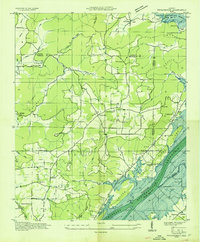 1936 Swearengin1936 Print · USGSMarshall and Jackson counties appear here just as the Tennessee Valley Authority began transforming the region in the mid-1930s. Genealogists and historians can trace family locations through sites like Old Barclay Mill, the State Prison Camp C, and the Zions Rest Cem before the reservoir waters rose.
 - 1947 Map of Langston, 1972 Print
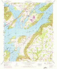 1947 Langston1972 Print · USGSNortheast Alabama during the mid-century transition shows a landscape defined by the Tennessee River and the rising waters of Guntersville Lake. Genealogists and local historians can trace family locations near Langston, explore several churches like Hollis Memorial Church, and find family burial grounds including Finney Cem and Kelly Cem.2 unique versions available
 - 1947 Map of Swearengin, 1972 Print
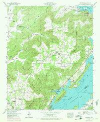 1947 Swearengin1972 Print · USGSNortheast Alabama's river-cut plateau comes into focus here just after the mid-century, showing the rugged intersection of Guntersville Lake and the mountain coves. Genealogists and hikers can trace the rural landscape of Swearengin, from the depths of Cathedral Caverns to Zions Rest Cem.2 unique versions available
 - 1950 Map of Swearengin
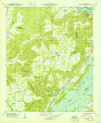 1950 Swearengin1950 Print · USGSNortheast Alabama hill country meets the Tennessee River in the late 1940s, showing a landscape defined by mountain coves and the backwaters of the reservoir. Researchers can locate family landmarks like Zions Rest Cem, New Prospect School, and the scattered homes of Swearengin.2 unique versions available
 - 1950 Map of Langston
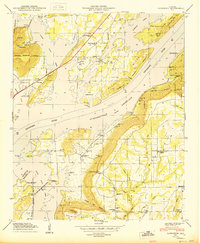 1950 Langston1950 Print · USGSNortheast Alabama's river valley comes to life in the mid-twentieth century as the Tennessee River waters fill the reservoir. Genealogists and local historians can trace family roots at Langston Cem and Kelly Cem, or locate long-standing rural landmarks like Temperance Hill School.
 - 1956 Map of Gadsden, 1966 Print
 1956 Gadsden1966 Print · USGSNorth Alabama in the mid-1950s shows a region transformed by river engineering and federal industry. Genealogists and local historians can trace the development of the Tennessee Valley through the growth of Huntsville, the sprawling Redstone Arsenal, and the expansive Guntersville Lake.3 unique versions available
 - 1958 Map of Gadsden
 1958 Gadsden1958 Print · USGSNorth Alabama comes alive in the late 1950s as the Tennessee Valley Authority’s massive river projects and the rise of the space industry reshaped the landscape. Researchers can trace the mid-century footprints of Huntsville, Redstone Arsenal, and the riverside rail networks of the Southern railroad.
 - 1960 Map of Gadsden
 1960 Gadsden1960 Print · USGSNorthern Alabama in the mid-1950s is defined by the mighty Tennessee River and its massive reservoirs. Trace the development of Huntsville and Redstone Arsenal or explore the vast William B Bankhead National Forest.2 unique versions available
 - 1963 Map of Gadsden
 1963 Gadsden1963 Print · USGSNorthern Alabama underwent a dramatic mid-century transformation as the Tennessee Valley became a hub for defense and industry. Researchers can trace the development of the Redstone Arsenal, the route of the Natchez Trace Parkway, and long-standing rail lines like the Southern Railway.
 - 1984 Map of Huntsville, 1986 Print
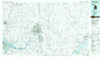 1984 Huntsville1986 Print · USGSNorthern Alabama and the Tennessee borderlands are captured in the mid-eighties as Huntsville and the Redstone Arsenal expand. Researchers can trace rural landmarks from Woodlin Mill to the Cumberland Plateau and old rail lines like the Southern.3 unique versions available
 - 2011 Map of Langston, 2011 Print
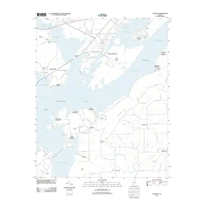 2011 Langston2011 Print · USGSJackson County’s waterfront communities and ridge-top settlements are captured here in the early twenty-first century. Genealogists can locate family burial grounds like Langston Cemetery and Guffy Cemetery alongside landmarks like Goose Pond Island.
 - 2011 Map of Swearengin, 2011 Print
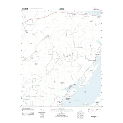 2011 Swearengin2011 Print · USGSJackson County’s riverfront and ridge communities are captured here in the early twenty-first century as Guntersville Lake shapes the local geography. Researchers can trace ancestral sites like Old Barclay Mill or visit numerous burial grounds including Mount Olive Cemetery and Zions Rest Cemetery.
 - 2014 Map of Swearengin, 2014 Print
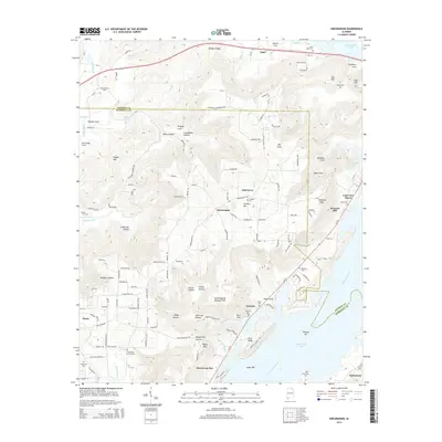 2014 Swearengin2014 Print · USGSNortheast Alabama as it appeared in the mid-2010s shows a landscape of upland ridges and river-fed reservoir life. Researchers can trace family history through a dozen rural burial grounds like Zions Rest Cem and Preston Cem or locate the distinct Uncle George McLean Point on the lake.
 - 2014 Map of Langston, 2014 Print
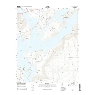 2014 Langston2014 Print · USGSThe Tennessee River valley south of Scottsboro is shown here in the mid-2010s as it winds through the foothills of the Appalachians. Family historians can locate numerous rural burial grounds such as Chaney Cem and Boyd Cem along the shores of Guntersville Lake.
 - 2018 Map of Swearengin, 2018 Print
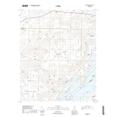 2018 Swearengin2018 Print · USGSNortheast Alabama's rugged plateau country is captured here during the late 2010s, showing the intersection of Jackson and Marshall counties. Researchers can trace family history through numerous burial grounds like Mount Olive Cem or explore the karst landscape of Cathedral Caverns and Kennamer Cove.
 - 2018 Map of Langston, 2018 Print
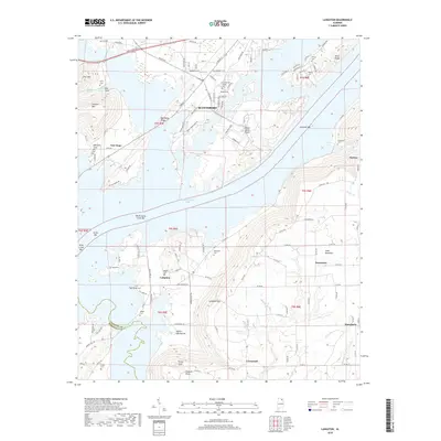 2018 Langston2018 Print · USGSNortheast Alabama in the late 2010s reveals a landscape shaped by the waters of Guntersville Lake and the heights of Sand Mountain. Genealogists and local historians can trace family connections through sites like Langston Cem, Boyd Cem, and the settlement at Macedonia.
 - 2020 Map of Langston, 2020 Print
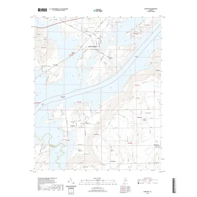 2020 Langston2020 Print · USGSJackson County's river valley and plateau communities are captured here in the contemporary era as they interface with Guntersville Lake. Genealogists can trace family names through numerous sites like Finney Cem, Kelly Cem, and the Davistown Baptist Church Cem.
 - 2020 Map of Swearengin, 2020 Print
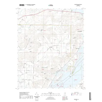 2020 Swearengin2020 Print · USGSThe Tennessee River backwaters of Jackson and Marshall counties are captured here in the contemporary era. Local historians can trace family ties at Mount Olive Cem, find the settlement at Swearengin, and explore the topography of Stillhouse Hollow.
 - 2024 Map of Swearengin, 2024 Print
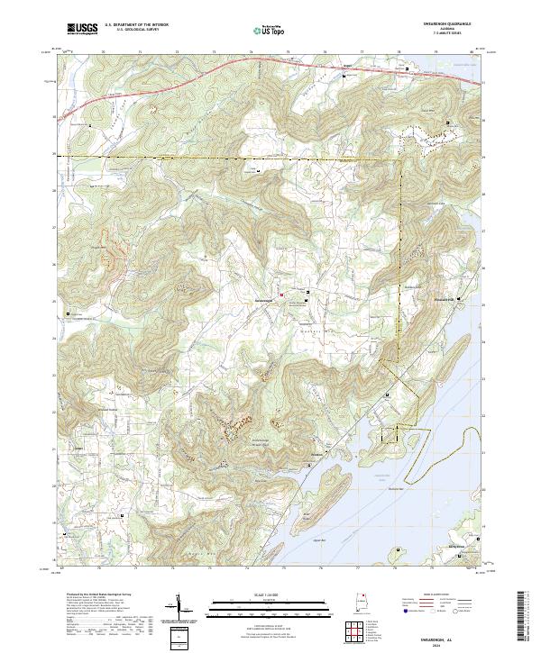 2024 Swearengin2024 Print · USGSThe plateaus and river valleys of Marshall County are shown here in the 2020s, centered on the community of Swearengin. Genealogists and local historians can trace family locations at Zions Rest Cem, Old Union Cem, and landmarks like Uncle George McLean Point.
 - 2024 Map of Langston, 2024 Print
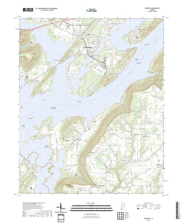 2024 Langston2024 Print · USGSThe Tennessee River valley and the western slopes of Sand Mountain are captured here in the mid-2020s. Genealogists and local researchers can trace family landmarks like Langston Memorial Cem, the Davistown Baptist Church, and historic crossings at Larkin Ferry.
 - 2026 Map of Langston, 2026 Print
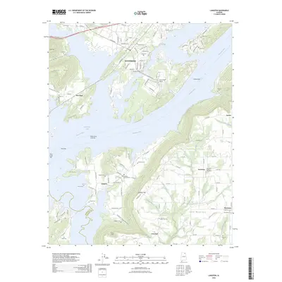 2026 Langston2026 Print · USGSCovers Langston, including Scottsboro, Section, and other nearby areas
End of results
Showing maps 1-24 of 24
Top cities near Langston
- Albertville historical maps
- Scottsboro historical maps
- Guntersville historical maps
- Rainsville historical maps
- Grant historical maps
- Fyffe historical maps
See more
Top neighborhoods of Langston
- Lewis Evans Subdivision historical maps
- South Sauty Subdivision historical maps
- Carver Subdivision historical maps
- Jackson Subdivision historical maps
Frequently asked questions
- What are the different types of historical maps available for Langston?
- What is the oldest map of Langston?
- Where can I purchase historical maps of Langston for my home or office?
- Where can I download high-res historical maps of Langston?
- Are there historical topographic maps available for Langston?
- Is there historical aerial imagery available for Langston?
- Where are historical maps of Langston sourced from?