2000s (21st Century) Maps of Graysville, Alabama
Explore 15 historic maps of Graysville from the 2000s (21st Century). These maps offer a rare glimpse into what life looked like during the 2000s — showing old roads, neighborhoods, homes, and landmarks that have changed or disappeared over time.
Whether you're researching your family's past, planning a metal detecting trip, or studying how Graysville's landscape evolved across the 2000s, these high-resolution maps are a powerful tool for exploring the history of this region.
- Focus on a specific era: All maps on this page are from the 2000s, giving you a focused view of this time period.
- See what’s changed: Compare century-old streets, trails, and buildings to today's modern landscape using overlays and satellite layers.
- Research with precision: Use these maps for genealogy, historical research, land use analysis, or educational projects.
- View, download, or print: Maps are fully viewable online in high resolution, and can be downloaded or printed for your own records.
Start exploring Graysville's history through authentic maps from the 2000s. This is your window into the past.
Graysville, AL maps
(15)- 2011 Map of Adamsville, 2011 Print
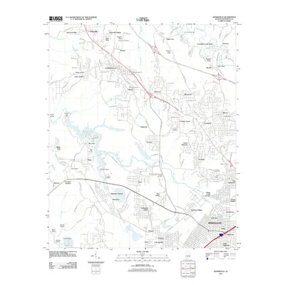 2011 Adamsville2011 Print · USGSThe coal-mining and industrial corridor west of Birmingham is shown here just as modern interstate projects began to reshape the landscape. Local historians can trace family roots at Village Falls Cemetery or locate the site of the Mulga Mine and the rail-side community of Docena.
 - 2011 Map of Brookside, 2011 Print
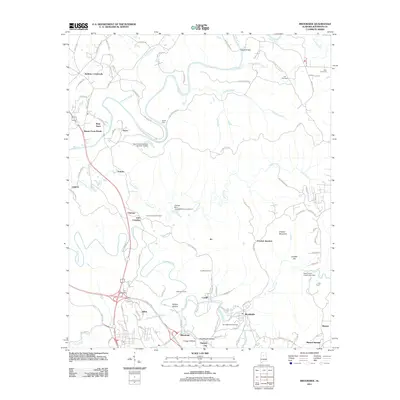 2011 Brookside2011 Print · USGSJefferson County’s mining and creek-side communities are captured here in the early twenty-first century. Researchers can trace family roots through numerous burial sites like Saint Michaels Cemetery and Linns Crossing Cemetery or locate historical settlements such as Pinkney City and Blossburg.
 - 2011 Map of Dora, 2011 Print
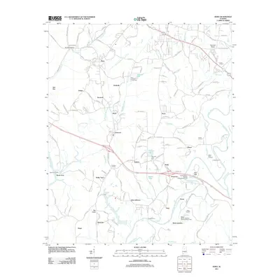 2011 Dora2011 Print · USGSThe mining and river settlements of Jefferson and Walker Counties are captured here during a period of modern industrial transition. Researchers can locate family landmarks like Shanghai Cemetery and historic river crossings such as Long Shoal Ford and Reeds Ferry.
 - 2014 Map of Adamsville, 2014 Print
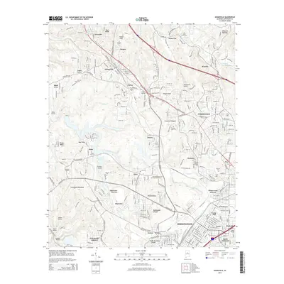 2014 Adamsville2014 Print · USGSJefferson County neighborhoods west of Birmingham appear in detail during the mid-2010s, showing a landscape shaped by industry and suburban growth. Researchers can locate numerous local landmarks such as Mulga Mine, Bonham Airport, and Crumley Chapel Cem.
 - 2014 Map of Dora, 2014 Print
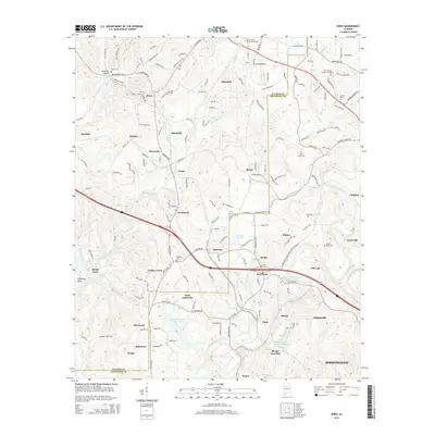 2014 Dora2014 Print · USGSThe river-carved borders of Jefferson and Walker Counties come alive in this modern survey of Alabama's coal country. Researchers can locate family roots at Shanghai Cemetery or trace the industrial footprint of the Flat Top Mine Number 3 Impoundment and Bessie Mines Number 3 Impoundment.
 - 2014 Map of Brookside, 2014 Print
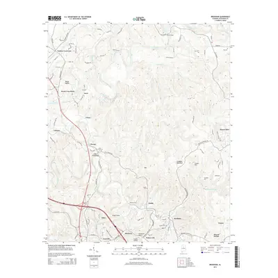 2014 Brookside2014 Print · USGSJefferson County communities like Brookside and Linn Crossing are shown here as they appeared in the early 2010s. Researchers can trace local lineage through Saint Michaels Cem or locate industrial landmarks like the Jefferson Tunnel and Sayre Mine Rd.
 - 2018 Map of Brookside, 2018 Print
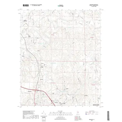 2018 Brookside2018 Print · USGSJefferson County's industrial corridor is shown here as it appeared recently, highlighting the dense cluster of mining towns northwest of Birmingham. Researchers can trace the layout of Brookside, Blossburg, and Cardiff, or locate ancestors at the Saint Michaels Cem.
 - 2018 Map of Adamsville, 2018 Print
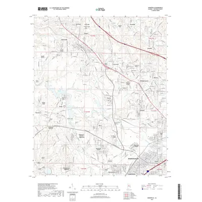 2018 Adamsville2018 Print · USGSThe northwestern Birmingham suburbs and industrial coal corridors come into focus in the late 2010s. Researchers can trace family history through sites like Glasgow Hill Cem or locate industrial landmarks including Mulga Mine and Bonham Airport.
 - 2018 Map of Dora, 2018 Print
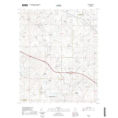 2018 Dora2018 Print · USGSNorthwest of Birmingham in the late 2010s, this area shows the vital convergence of the Mulberry Fork and Locust Fork. Local historians can trace family burial sites like Shanghai Cem or Maben Cem and explore the industrial footprint near West Jefferson.
 - 2020 Map of Adamsville, 2020 Print
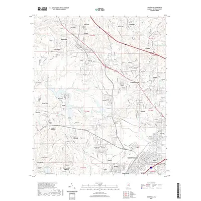 2020 Adamsville2020 Print · USGSJefferson County’s industrial heartland comes to life in this recent survey of the communities northwest of Birmingham. Researchers can trace the legacy of mining and rail at Mulga Mine or locate family history at Bivens Chapel Cem and Red Wine.
 - 2020 Map of Brookside, 2020 Print
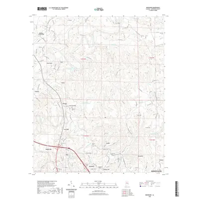 2020 Brookside2020 Print · USGSJefferson County mining towns and industrial corridors are captured here in the contemporary era. Researchers can trace family roots through numerous local sites like Linns Crossing Cem, Pinkney City, and the Jefferson Tunnel near Blossburg.
 - 2020 Map of Dora, 2020 Print
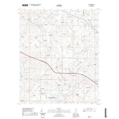 2020 Dora2020 Print · USGSThe industrial corridor between the Mulberry and Locust Forks comes into focus during this modern era of energy and transit. Researchers can trace local genealogy and industry through Bessie Junction, Davis Cem, and the massive Miller Steam Plant Water Storage.
 - 2024 Map of Adamsville, 2024 Print
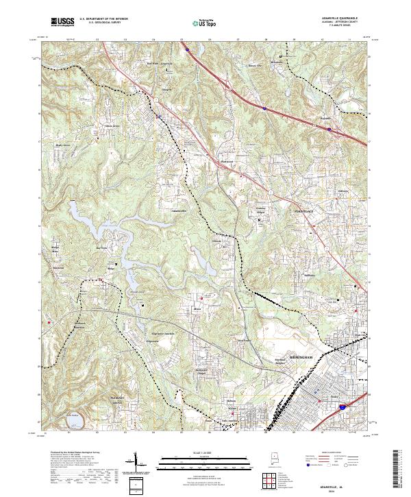 2024 Adamsville2024 Print · USGSNorthwest of Birmingham in the 2020s, this area shows a complex landscape of mining towns and suburban growth. Trace the history of the Jefferson County coalfields through landmarks like Mulga Mine, Crockard Junction, and family burial grounds like Roberts Cem.
 - 2024 Map of Brookside, 2024 Print
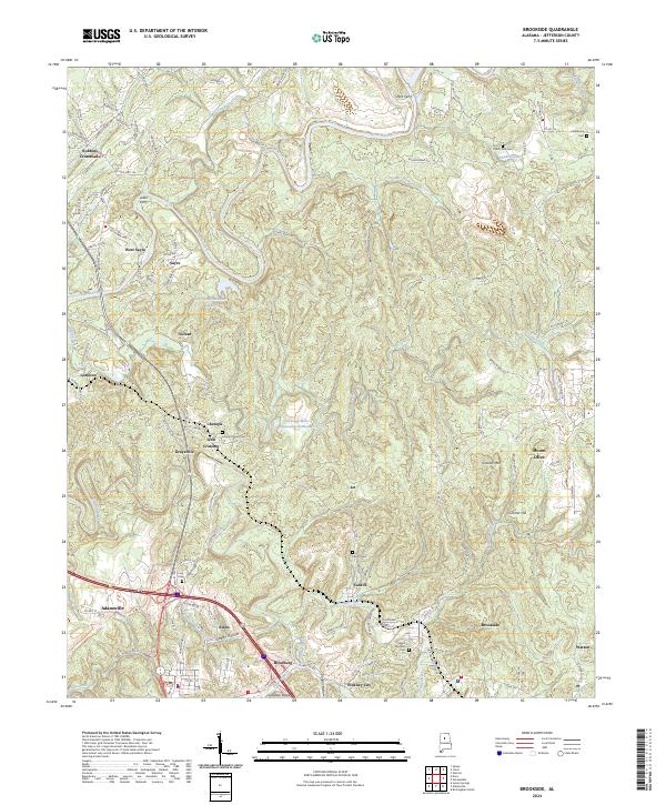 2024 Brookside2024 Print · USGSJefferson County's mining and river heritage is evident in this contemporary survey of the area northwest of Birmingham. Trace historical river crossings at Short Ferry and Loller Ferry or locate family sites like Odom Nail Cem and Linn Cem.
 - 2024 Map of Dora, 2024 Print
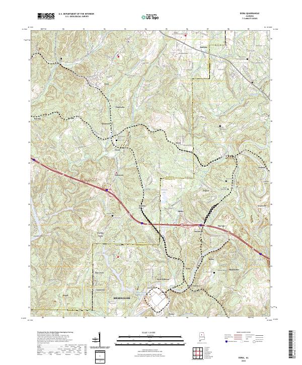 2024 Dora2024 Print · USGSThe river forks of Walker and Jefferson counties are documented here in the early 2020s, showing a landscape defined by historic crossings and industry. Researchers can trace local genealogy at Shanghai Cem or locate old river landmarks like Littleton Ferry and Butlers Ferry.
End of results
Showing maps 1-15 of 15
Top cities near Graysville
- Birmingham historical maps
- Hoover historical maps
- Vestavia Hills historical maps
- Homewood historical maps
- Bessemer historical maps
- Mountain Brook historical maps
See more
Top neighborhoods of Graysville
- Daisey City Trailer Park historical maps
- Daisey City historical maps
- Graysville Heights historical maps
- Red Wine historical maps
- Sherwood Hills historical maps
- Littleton historical maps
See more
Frequently asked questions
- What are the different types of historical maps available for Graysville?
- What is the oldest map of Graysville?
- Where can I purchase historical maps of Graysville for my home or office?
- Where can I download high-res historical maps of Graysville?
- Are there historical topographic maps available for Graysville?
- Is there historical aerial imagery available for Graysville?
- Where are historical maps of Graysville sourced from?