Old Maps of Lexington, Alabama for Hiking & Exploration
Hike through history with 22 historic maps of Lexington. Explore old trails, ghost towns, and forgotten backroads — perfect for outdoor adventurers and local explorers.
- Rediscover forgotten places: Map out old mining camps, roads, and footpaths that no longer exist on modern maps.
- Layer with modern tools: Combine with LiDAR or satellite views to plan hikes through historical terrain.
- Made for exploration: Popular among hikers, overlanders, and local history lovers.
Use these maps to find adventure and explore the hidden past of Lexington.
Lexington, AL maps
(22)- 1914 Map of Rogersville
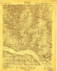 1914 Rogersville1914 Print · USGSBefore the Tennessee River was dammed and widened, this area supported a dense network of river-linked communities. Trace the legacy of early families through landmarks like Lambs Ferry, Mitchell Mill, and the many rural sites like Sweet Gum Church.
 - 1916 Map of Rogersville
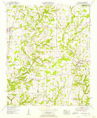
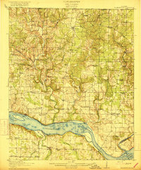 1916 Rogersville1916 Print · USGSLauderdale County was a landscape of river-driven commerce and rural crossroads in the decade before the Tennessee River was transformed. Researchers can trace ancestral locations through dozens of named sites like Lambs Ferry, Hurricane Church, and the Muscle Shoals Canal.2 unique versions available
 - 1936 Map of Lexington
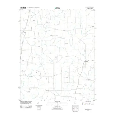
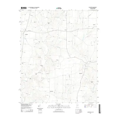
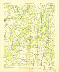 1936 Lexington1936 Print · USGSLauderdale County and the Tennessee state line appear here in the mid-1930s as rural life centered around small creek-side settlements. Genealogists can trace family landmarks like the Portertown Cemetery, Hammond School, and the local Ingram Mill.
 - 1936 Map of Center Hill
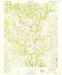
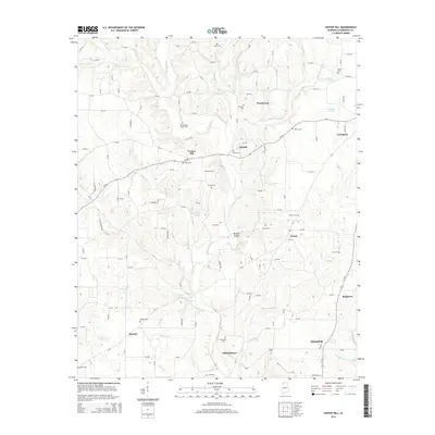
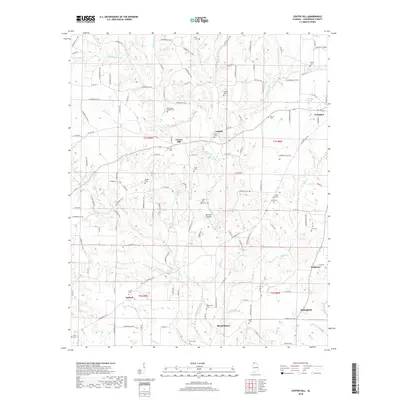
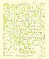 1936 Center Hill1936 Print · USGSLauderdale County, Alabama, is documented here in the mid-1930s during the early work of the Tennessee Valley Authority. Researchers can trace family sites at Stutts Cem and Grisom Cem or locate old community centers like Arkdell and McPeters.
 - 1952 Map of Lexington, 1957 Print
 1952 Lexington1957 Print · USGSLauderdale County and the Tennessee borderlands are captured here in the early fifties, showing a rural landscape of scattered homesteads and family cemeteries. Genealogists can trace local roots through sites like Portertown Cem, Beaverdam Church, and the river crossing at Sledge Ford Bridge.2 unique versions available
 - 1952 Map of Center Hill, 1957 Print
 1952 Center Hill1957 Print · USGSLauderdale County is shown in the early fifties as a landscape of rural communities and winding creek valleys. Researchers can trace dozens of family landmarks and local institutions, from Sweet Gum Sch and Marys Chapel to the Minnow Hatchery at Mitchelltown.3 unique versions available
 - 1956 Map of Gadsden, 1966 Print
 1956 Gadsden1966 Print · USGSNorth Alabama in the mid-1950s shows a region transformed by river engineering and federal industry. Genealogists and local historians can trace the development of the Tennessee Valley through the growth of Huntsville, the sprawling Redstone Arsenal, and the expansive Guntersville Lake.3 unique versions available
 - 1958 Map of Gadsden
 1958 Gadsden1958 Print · USGSNorth Alabama comes alive in the late 1950s as the Tennessee Valley Authority’s massive river projects and the rise of the space industry reshaped the landscape. Researchers can trace the mid-century footprints of Huntsville, Redstone Arsenal, and the riverside rail networks of the Southern railroad.
 - 1960 Map of Gadsden
 1960 Gadsden1960 Print · USGSNorthern Alabama in the mid-1950s is defined by the mighty Tennessee River and its massive reservoirs. Trace the development of Huntsville and Redstone Arsenal or explore the vast William B Bankhead National Forest.2 unique versions available
 - 1963 Map of Gadsden
 1963 Gadsden1963 Print · USGSNorthern Alabama underwent a dramatic mid-century transformation as the Tennessee Valley became a hub for defense and industry. Researchers can trace the development of the Redstone Arsenal, the route of the Natchez Trace Parkway, and long-standing rail lines like the Southern Railway.
 - 1986 Map of Tuscumbia
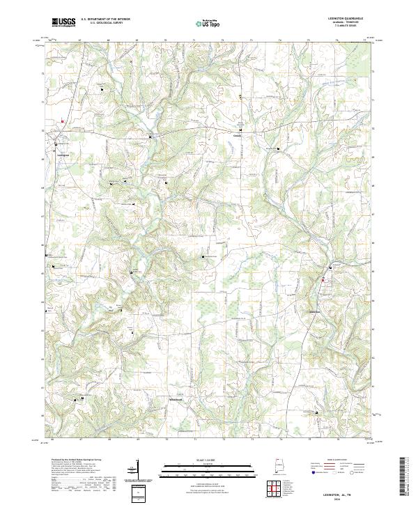
 1986 Tuscumbia1986 Print · USGSThe Tennessee River valley in the mid-1980s shows a landscape transformed by massive reservoirs and industrial hubs. Genealogists and local historians can trace the development of the Shoals area and locate rural communities like Tharp Town, Leighton, and Rogersville.3 unique versions available
 - 2010 Map of Lexington, 2010 Print
 2010 Lexington2010 Print · USGSCovers Lexington, including Anderson, Grassy, and other nearby areas
 - 2011 Map of Center Hill, 2011 Print
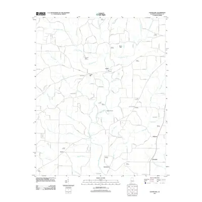 2011 Center Hill2011 Print · USGSCovers Lexington, including Comer, Sweet Gum, and other nearby areas
 - 2011 Map of Lexington, 2011 Print
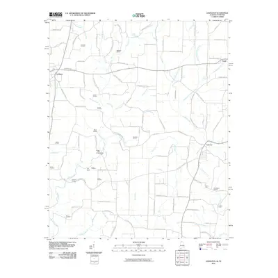
 2011 Lexington2011 Print · USGSCovers Lexington, including Anderson, Grassy, and other nearby areas
 - 2014 Map of Lexington, 2014 Print
 2014 Lexington2014 Print · USGSCovers Lexington, including Anderson, Grassy, and other nearby areas
 - 2014 Map of Center Hill, 2014 Print
 2014 Center Hill2014 Print · USGSCovers Lexington, including Comer, Sweet Gum, and other nearby areas
 - 2018 Map of Center Hill, 2018 Print
 2018 Center Hill2018 Print · USGSCovers Lexington, including Comer, Sweet Gum, and other nearby areas
 - 2018 Map of Lexington, 2018 Print
 2018 Lexington2018 Print · USGSCovers Lexington, including Anderson, Grassy, and other nearby areas
 - 2020 Map of Lexington, 2020 Print
 2020 Lexington2020 Print · USGSCovers Lexington, including Anderson, Grassy, and other nearby areas
 - 2021 Map of Center Hill, 2021 Print
 2021 Center Hill2021 Print · USGSCovers Lexington, including Comer, Sweet Gum, and other nearby areas
 - 2024 Map of Lexington, 2024 Print
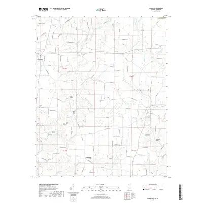
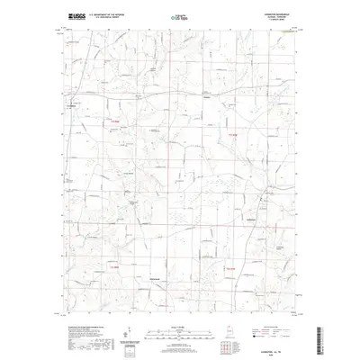
 2024 Lexington2024 Print · USGSNorth Alabama's rural landscape is captured here in the early twenty-first century, centered on Lexington and Anderson. Genealogists can trace family names through dozens of local sites, including Shelton Cem, New Hope Cem, and Grassy Memorial Cem.
 - 2024 Map of Center Hill, 2024 Print
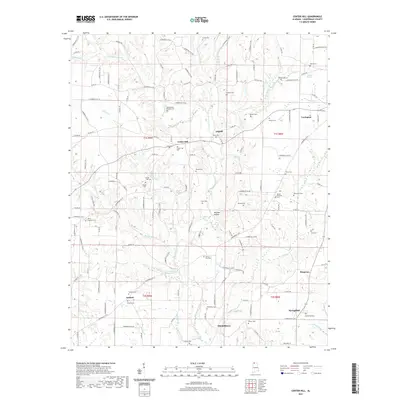
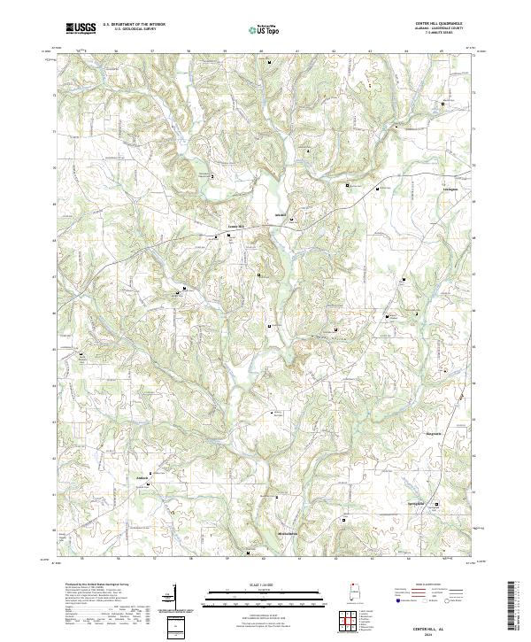 2024 Center Hill2024 Print · USGSLauderdale County's rural creek valleys and upland hamlets are captured here in the early twenty-first century. Genealogists can trace decades of family history through dozens of local burial sites, including Richardson Chapel Cem, Antioch Cem, and the Scott Cem.
End of results
Showing maps 1-22 of 22
Top cities near Lexington
- Florence historical maps
- Muscle Shoals historical maps
- Lawrenceburg historical maps
- Loretto historical maps
- Rogersville historical maps
- Killen historical maps
See more
Frequently asked questions
- What are the different types of historical maps available for Lexington?
- What is the oldest map of Lexington?
- Where can I purchase historical maps of Lexington for my home or office?
- Where can I download high-res historical maps of Lexington?
- Are there historical topographic maps available for Lexington?
- Is there historical aerial imagery available for Lexington?
- Where are historical maps of Lexington sourced from?