2000s (21st Century) Maps of Poplar Springs Branch, Alabama
Explore 10 historic maps of Poplar Springs Branch from the 2000s (21st Century). These maps offer a rare glimpse into what life looked like during the 2000s — showing old roads, neighborhoods, homes, and landmarks that have changed or disappeared over time.
Whether you're researching your family's past, planning a metal detecting trip, or studying how Poplar Springs Branch's landscape evolved across the 2000s, these high-resolution maps are a powerful tool for exploring the history of this region.
- Focus on a specific era: All maps on this page are from the 2000s, giving you a focused view of this time period.
- See what’s changed: Compare century-old streets, trails, and buildings to today's modern landscape using overlays and satellite layers.
- Research with precision: Use these maps for genealogy, historical research, land use analysis, or educational projects.
- View, download, or print: Maps are fully viewable online in high resolution, and can be downloaded or printed for your own records.
Start exploring Poplar Springs Branch's history through authentic maps from the 2000s. This is your window into the past.
Poplar Springs Branch, AL maps
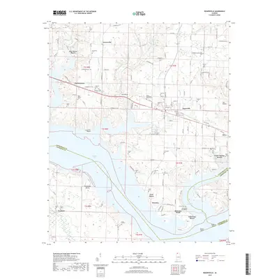
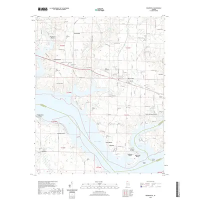
(10)- 2011 Map of Rogersville, 2011 Print
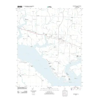 2011 Rogersville2011 Print · USGSCovers Poplar Springs Branch, including Rogersville, Freeman Acres, and other nearby areas
 - 2011 Map of Cairo, 2011 Print
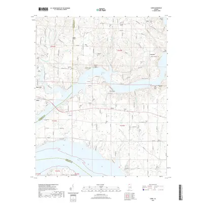
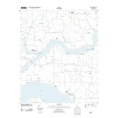 2011 Cairo2011 Print · USGSCovers Poplar Springs Branch, including Rogersville, Coxey, and other nearby areas
 - 2014 Map of Rogersville, 2014 Print
 2014 Rogersville2014 Print · USGSCovers Poplar Springs Branch, including Rogersville, Freeman Acres, and other nearby areas
 - 2014 Map of Cairo, 2014 Print
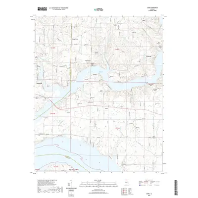
 2014 Cairo2014 Print · USGSCovers Poplar Springs Branch, including Rogersville, Coxey, and other nearby areas
 - 2018 Map of Rogersville, 2018 Print
 2018 Rogersville2018 Print · USGSCovers Poplar Springs Branch, including Rogersville, Freeman Acres, and other nearby areas
 - 2018 Map of Cairo, 2018 Print
 2018 Cairo2018 Print · USGSCovers Poplar Springs Branch, including Rogersville, Coxey, and other nearby areas
 - 2020 Map of Cairo, 2020 Print
 2020 Cairo2020 Print · USGSCovers Poplar Springs Branch, including Rogersville, Coxey, and other nearby areas
 - 2020 Map of Rogersville, 2020 Print
 2020 Rogersville2020 Print · USGSCovers Poplar Springs Branch, including Rogersville, Freeman Acres, and other nearby areas
 - 2024 Map of Cairo, 2024 Print
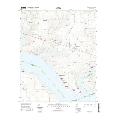
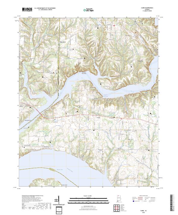 2024 Cairo2024 Print · USGSLimestone County at the dawn of the 2020s shows a landscape deeply tied to the Tennessee River and its many winding tributaries. Genealogists and local historians can trace family locations through numerous sites like Bedingfield Ferry, Lentzville, and the Barker Cem.
 - 2024 Map of Rogersville, 2024 Print
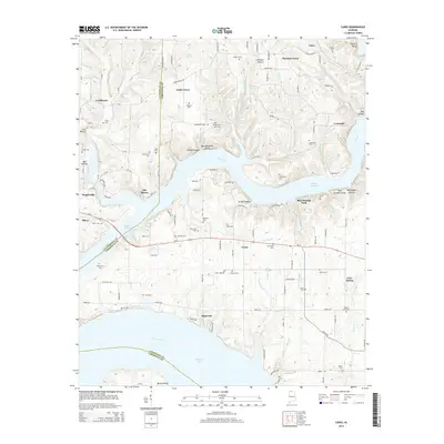
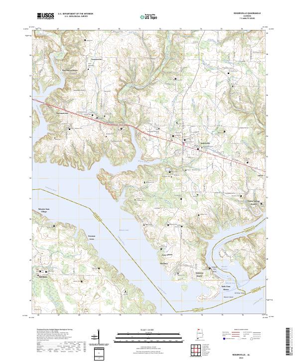 2024 Rogersville2024 Print · USGSThe northern banks of the Tennessee River near Rogersville come to life in this modern topographic study. Genealogists can trace dozens of local burial sites like Old Romine Cem and James Whitehead Cem alongside waterfront locales like Ferry Shores.
End of results
Showing maps 1-10 of 10
Top cities near Poplar Springs Branch
- Decatur historical maps
- Athens historical maps
- Trinity historical maps
- Rogersville historical maps
- Town Creek historical maps
- Lexington historical maps
See more
Frequently asked questions
- What are the different types of historical maps available for Poplar Springs Branch?
- What is the oldest map of Poplar Springs Branch?
- Where can I purchase historical maps of Poplar Springs Branch for my home or office?
- Where can I download high-res historical maps of Poplar Springs Branch?
- Are there historical topographic maps available for Poplar Springs Branch?
- Is there historical aerial imagery available for Poplar Springs Branch?
- Where are historical maps of Poplar Springs Branch sourced from?