2020s Maps of Opelika, Alabama
Explore 8 historic maps of Opelika from the 2020s. These maps offer a rare glimpse into what life looked like during the 2020s — showing old roads, neighborhoods, homes, and landmarks that have changed or disappeared over time.
Whether you're researching your family's past, planning a metal detecting trip, or studying how Opelika's landscape evolved across the 2020s, these high-resolution maps are a powerful tool for exploring the history of this region.
- Focus on a specific era: All maps on this page are from the 2020s, giving you a focused view of this time period.
- See what’s changed: Compare century-old streets, trails, and buildings to today's modern landscape using overlays and satellite layers.
- Research with precision: Use these maps for genealogy, historical research, land use analysis, or educational projects.
- View, download, or print: Maps are fully viewable online in high resolution, and can be downloaded or printed for your own records.
Start exploring Opelika's history through authentic maps from the 2020s. This is your window into the past.
Opelika, AL maps
(8)- 2020 Map of Opelika West, 2020 Print
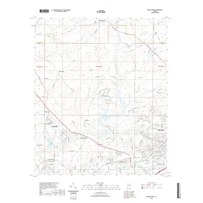 2020 Opelika West2020 Print · USGSCovers Opelika, including Auburn, Stonewall, and other nearby areas
 - 2020 Map of Parkers Crossroads, 2020 Print
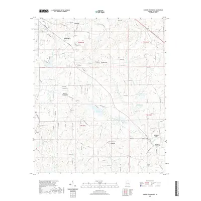 2020 Parkers Crossroads2020 Print · USGSCovers Opelika, including Griffen Mill, Meadows Mill, and other nearby areas
 - 2020 Map of Opelika East, 2020 Print
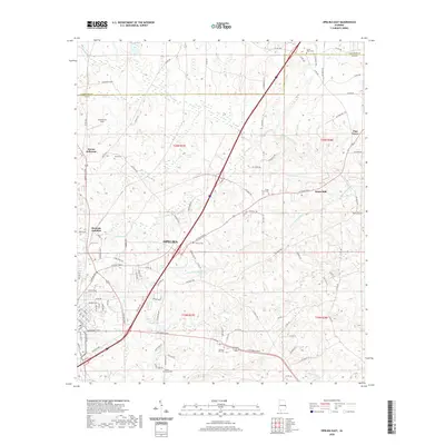 2020 Opelika East2020 Print · USGSCovers Opelika, including Pine Grove, Beans Mill, and other nearby areas
 - 2020 Map of Auburn, 2020 Print
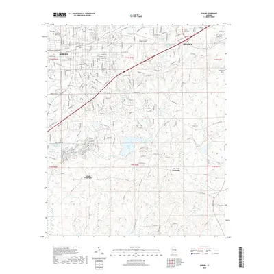 2020 Auburn2020 Print · USGSCovers Opelika, including Auburn, Union Crossroads, and other nearby areas
 - 2024 Map of Opelika West, 2024 Print
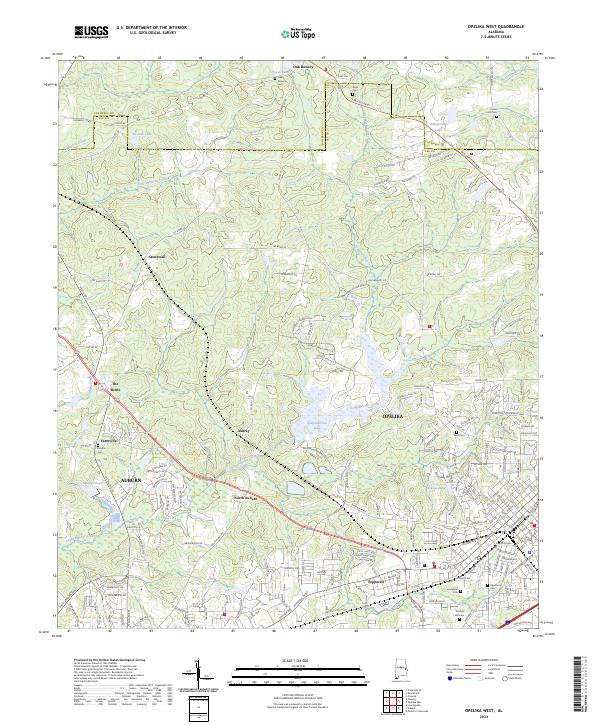 2024 Opelika West2024 Print · USGSLee and Chambers Counties in 2024 see the modern outskirts of Auburn and Opelika surrounding established rural communities. Researchers can trace historical sites like The Bottle and numerous cemeteries including Oak Bowery Cem and Union Hill Cem.
 - 2024 Map of Parkers Crossroads, 2024 Print
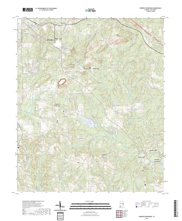 2024 Parkers Crossroads2024 Print · USGSSoutheast of Opelika in the 2020s, this area of Lee County reveals a landscape shaped by creek-side industry and quiet rural settlements. Researchers can trace family history through sites like Griffen Mill, Hopewell Cem, and the Penn-Yonge Gravesite near Spring Villa.
 - 2024 Map of Opelika East, 2024 Print
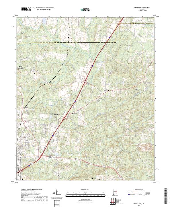 2024 Opelika East2024 Print · USGSLee County, Alabama, is shown at a moment of continued growth east of the city center. Trace the development of settlements like Mount Jefferson and Roanoke Junction or locate family history at Memory Hill Cem.
 - 2024 Map of Auburn, 2024 Print
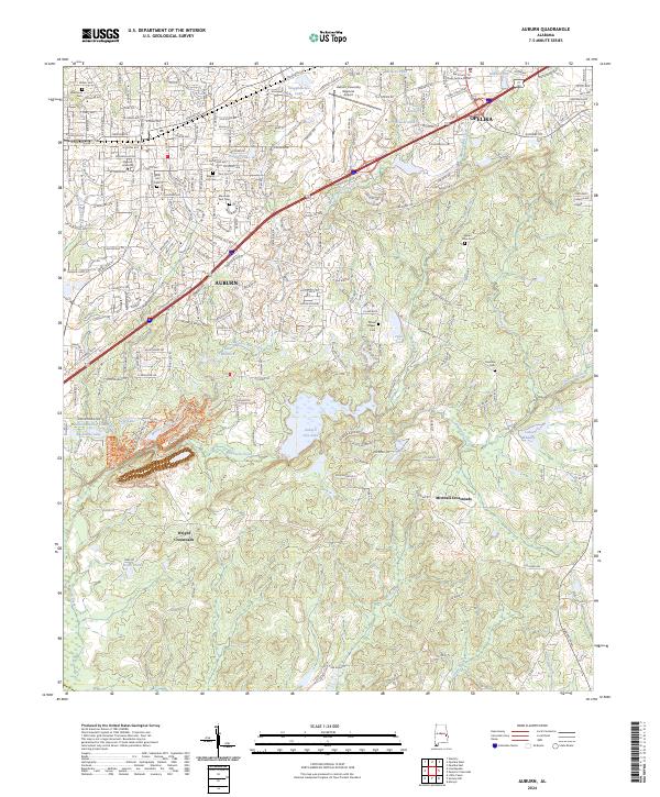 2024 Auburn2024 Print · USGSThe dual growth of Auburn and Opelika in the 2020s is captured here, showcasing the region's university campus and expanding residential areas. Researchers can trace family history at Pine Hill Cem or locate the rural junctions of Wright Crossroads and Mitchell Crossroads.
End of results
Showing maps 1-8 of 8
Top cities near Opelika
- Auburn historical maps
- Valley historical maps
- Lanett historical maps
- West Point historical maps
- LaFayette historical maps
- Huguley historical maps
See more
Top neighborhoods of Opelika
- North Gate historical maps
- Crooked Creek historical maps
- Oak Dale historical maps
- Edgewood Forest historical maps
- Spring Villa historical maps
- West Ridge historical maps
See more
Frequently asked questions
- What are the different types of historical maps available for Opelika?
- What is the oldest map of Opelika?
- Where can I purchase historical maps of Opelika for my home or office?
- Where can I download high-res historical maps of Opelika?
- Are there historical topographic maps available for Opelika?
- Is there historical aerial imagery available for Opelika?
- Where are historical maps of Opelika sourced from?