Old Maps of Opelika, Alabama for Hiking & Exploration
Hike through history with 30 historic maps of Opelika. Explore old trails, ghost towns, and forgotten backroads — perfect for outdoor adventurers and local explorers.
- Rediscover forgotten places: Map out old mining camps, roads, and footpaths that no longer exist on modern maps.
- Layer with modern tools: Combine with LiDAR or satellite views to plan hikes through historical terrain.
- Made for exploration: Popular among hikers, overlanders, and local history lovers.
Use these maps to find adventure and explore the hidden past of Opelika.
Opelika, AL maps
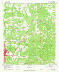
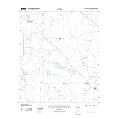
(30)- 1907 Map of Opelika, 1963 Print
 1907 Opelika1963 Print · USGSEastern Alabama and western Georgia come alive in this early 1900s survey of the rail-and-river economy. Genealogists can trace family names at Mitchell Crossroads, find rural landmarks like the Poor Farm, and locate historic river crossings like Dixon Ferry.
 - 1909 Map of Opelika
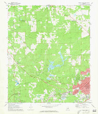
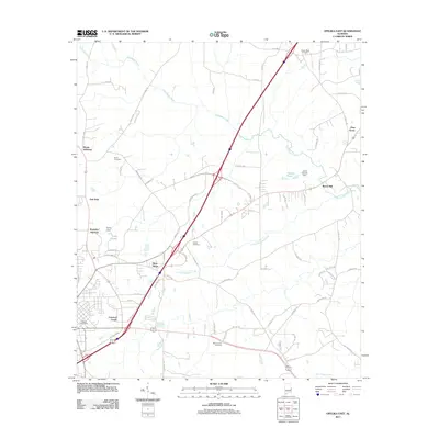
 1909 Opelika1909 Print · USGSEastern Alabama and western Georgia are seen here in the first decade of the twentieth century as the river-and-rail economy reached its peak. Genealogists and historians can trace old river crossings like Blanton Ferry, rural post offices such as Antioch Church Huckabee P O, and the path of the Chattahoochee Valley railroad.4 unique versions available
 - 1955 Map of Phenix City, 1964 Print
 1955 Phenix City1964 Print · USGSPost-war Alabama and Georgia meet along the Chattahoochee River as industry and military installations expand. Trace the rail lines of the Central of Georgia through towns like Opelika, Tuskegee, and Alexander City.3 unique versions available
 - 1957 Map of Phenix City
 1957 Phenix City1957 Print · USGSThe Alabama-Georgia borderlands are captured here in the mid-fifties, centered on the bustling river crossing at Phenix City and Columbus. Researchers can trace the mid-century footprint of the Fort Benning Military Reservation or locate smaller textile and railroad towns like Langdale and Camp Hill.
 - 1958 Map of Phenix City
 1958 Phenix City1958 Print · USGSThe Alabama-Georgia borderlands thrive during the late fifties, anchored by the river-driven industry of Columbus and Phenix City. Researchers can trace the mid-century footprints of Fort Benning, Auburn, and the textile towns of Fairfax and Lanett.
 - 1970 Map of Opelika East, 1973 Print
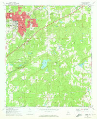
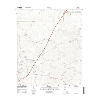
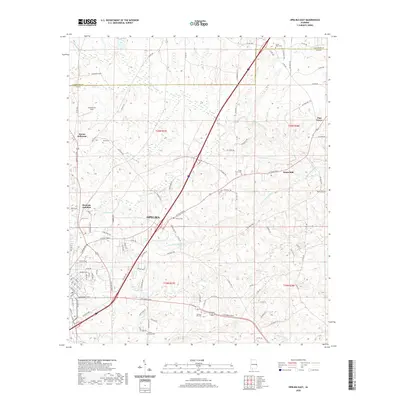
 1970 Opelika East1973 Print · USGSOpelika experienced significant industrial and educational growth in the early seventies, centered around its vital rail junctions. Researchers can trace the development of local schools like Darden High Sch and find family-named sites such as Scott Cem and Beans Mill.4 unique versions available
 - 1971 Map of Parkers Crossroads, 1973 Print
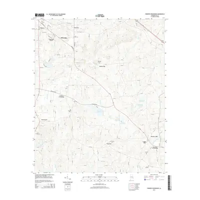
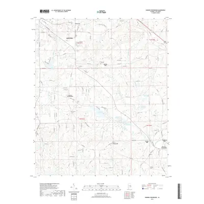
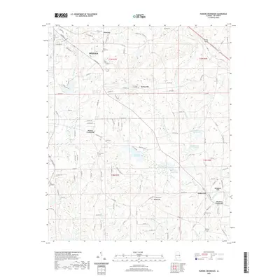
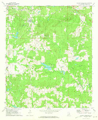 1971 Parkers Crossroads1973 Print · USGSLee County's rural crossroads and creek-side mills are documented here just as the early seventies began. Genealogists and local historians can trace family landmarks like Brown Cem, the Beauregard Sch, and the old rail line of the Central of Georgia.2 unique versions available
 - 1971 Map of Opelika West, 1973 Print
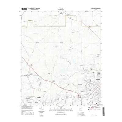
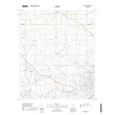
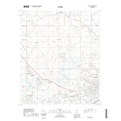
 1971 Opelika West1973 Print · USGSThe growing communities of Opelika and Auburn meet in this 1970s portrait of Lee County's rail and water infrastructure. Researchers can trace historic family landmarks and local institutions like Oak Bowery Ch, The Bottle, and the Central of Georgia Railway.3 unique versions available
 - 1971 Map of Auburn, 1973 Print
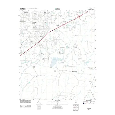
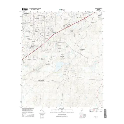
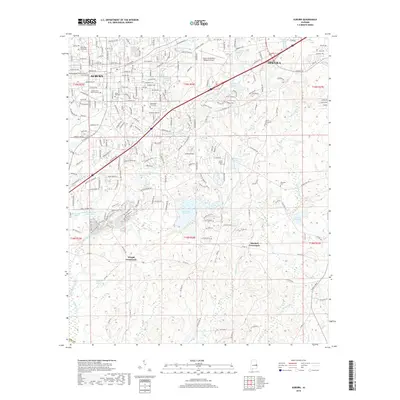
 1971 Auburn1973 Print · USGSAuburn and Opelika are shown during a period of significant academic and civic expansion in the early seventies. Local historians can trace the development of Auburn University and locate rural landmarks like Mitchell Crossroads and Sand Hill Ch.2 unique versions available
 - 1981 Map of Opelika, 1982 Print
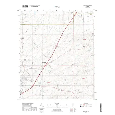
 1981 Opelika1982 Print · USGSEast Alabama and West Georgia appear in the early 1980s as a region defined by massive river reservoirs and the storied textile corridor. Genealogists can trace family roots through the valley towns of Lanett and Fairfax or locate sites near Horseshoe Bend National Military Park.
 - 2011 Map of Parkers Crossroads, 2011 Print
 2011 Parkers Crossroads2011 Print · USGSCovers Opelika, including Griffen Mill, Meadows Mill, and other nearby areas
 - 2011 Map of Opelika East, 2011 Print
 2011 Opelika East2011 Print · USGSCovers Opelika, including Pine Grove, Beans Mill, and other nearby areas
 - 2011 Map of Auburn, 2011 Print
 2011 Auburn2011 Print · USGSCovers Opelika, including Auburn, Union Crossroads, and other nearby areas
 - 2011 Map of Opelika West, 2011 Print
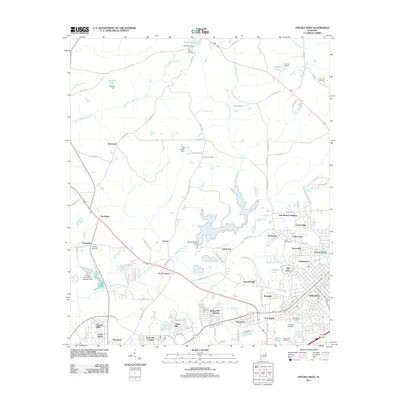 2011 Opelika West2011 Print · USGSCovers Opelika, including Auburn, Stonewall, and other nearby areas
 - 2014 Map of Opelika East, 2014 Print
 2014 Opelika East2014 Print · USGSCovers Opelika, including Pine Grove, Beans Mill, and other nearby areas
 - 2014 Map of Auburn, 2014 Print
 2014 Auburn2014 Print · USGSCovers Opelika, including Auburn, Union Crossroads, and other nearby areas
 - 2014 Map of Parkers Crossroads, 2014 Print
 2014 Parkers Crossroads2014 Print · USGSCovers Opelika, including Griffen Mill, Meadows Mill, and other nearby areas
 - 2014 Map of Opelika West, 2014 Print
 2014 Opelika West2014 Print · USGSCovers Opelika, including Auburn, Stonewall, and other nearby areas
 - 2018 Map of Parkers Crossroads, 2018 Print
 2018 Parkers Crossroads2018 Print · USGSCovers Opelika, including Griffen Mill, Meadows Mill, and other nearby areas
 - 2018 Map of Opelika East, 2018 Print
 2018 Opelika East2018 Print · USGSCovers Opelika, including Pine Grove, Beans Mill, and other nearby areas
 - 2018 Map of Opelika West, 2018 Print
 2018 Opelika West2018 Print · USGSCovers Opelika, including Auburn, Stonewall, and other nearby areas
 - 2018 Map of Auburn, 2018 Print
 2018 Auburn2018 Print · USGSCovers Opelika, including Auburn, Union Crossroads, and other nearby areas
 - 2020 Map of Opelika West, 2020 Print
 2020 Opelika West2020 Print · USGSCovers Opelika, including Auburn, Stonewall, and other nearby areas
 - 2020 Map of Parkers Crossroads, 2020 Print
 2020 Parkers Crossroads2020 Print · USGSCovers Opelika, including Griffen Mill, Meadows Mill, and other nearby areas
 - 2020 Map of Opelika East, 2020 Print
 2020 Opelika East2020 Print · USGSCovers Opelika, including Pine Grove, Beans Mill, and other nearby areas
Showing maps 1-25 of 30
Top cities near Opelika
- Auburn historical maps
- Valley historical maps
- Lanett historical maps
- West Point historical maps
- LaFayette historical maps
- Huguley historical maps
See more
Top neighborhoods of Opelika
- North Gate historical maps
- Crooked Creek historical maps
- Oak Dale historical maps
- Edgewood Forest historical maps
- Spring Villa historical maps
- West Ridge historical maps
See more
Frequently asked questions
- What are the different types of historical maps available for Opelika?
- What is the oldest map of Opelika?
- Where can I purchase historical maps of Opelika for my home or office?
- Where can I download high-res historical maps of Opelika?
- Are there historical topographic maps available for Opelika?
- Is there historical aerial imagery available for Opelika?
- Where are historical maps of Opelika sourced from?