2000s (21st Century) Maps of Macon County, Alabama
Explore 105 historic maps of Macon County from the 2000s (21st Century). These maps offer a rare glimpse into what life looked like during the 2000s — showing old roads, neighborhoods, homes, and landmarks that have changed or disappeared over time.
Whether you're researching your family's past, planning a metal detecting trip, or studying how Macon County's landscape evolved across the 2000s, these high-resolution maps are a powerful tool for exploring the history of this region.
- Focus on a specific era: All maps on this page are from the 2000s, giving you a focused view of this time period.
- See what’s changed: Compare century-old streets, trails, and buildings to today's modern landscape using overlays and satellite layers.
- Research with precision: Use these maps for genealogy, historical research, land use analysis, or educational projects.
- View, download, or print: Maps are fully viewable online in high resolution, and can be downloaded or printed for your own records.
Start exploring Macon County's history through authentic maps from the 2000s. This is your window into the past.
Macon County, AL maps
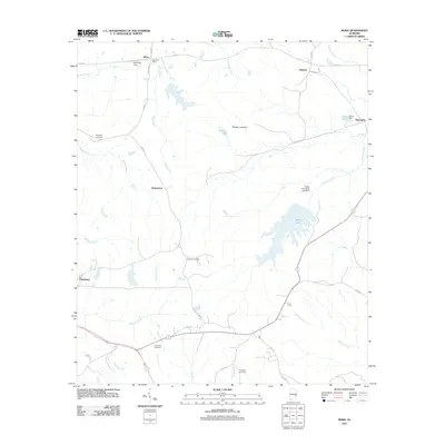
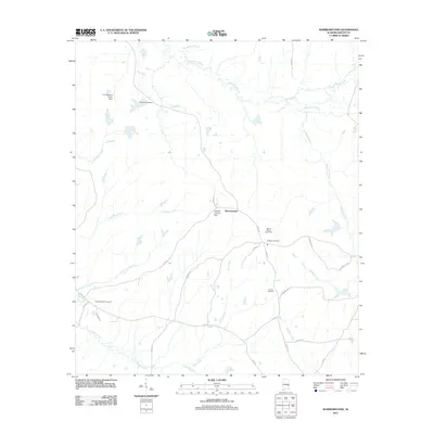
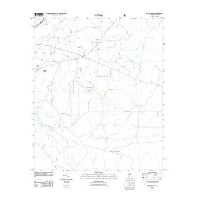
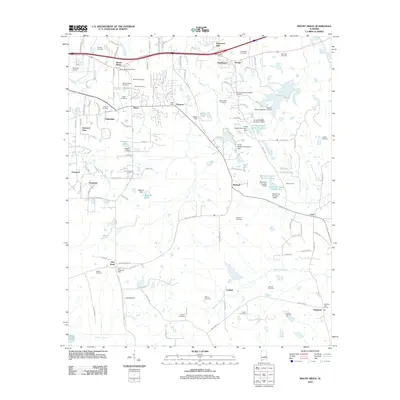
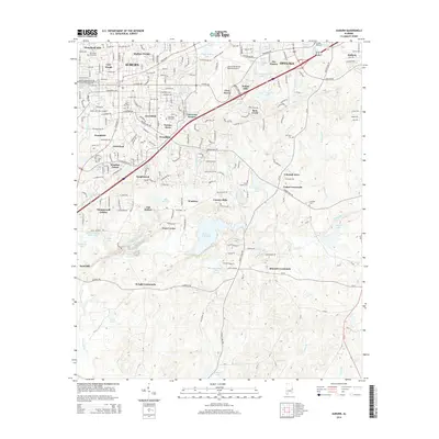
(105)- 2011 Map of La Place, 2011 Print
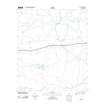 2011 La Place2011 Print · USGSCovers Macon County, including Tuskegee, Tallassee, and other nearby areas
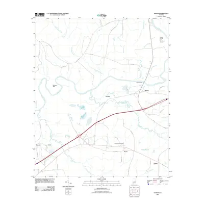
 - 2011 Map of Chesson, 2011 Print
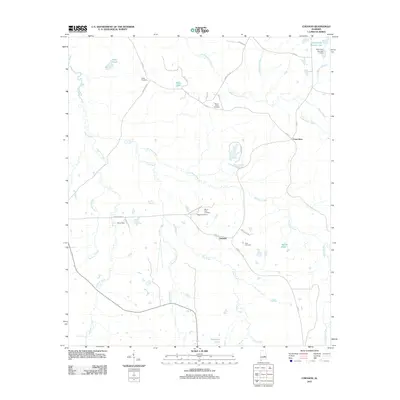 2011 Chesson2011 Print · USGSCovers Macon County, including Pike Road, Shorter, and other nearby areas
 - 2011 Map of Union Springs, 2011 Print
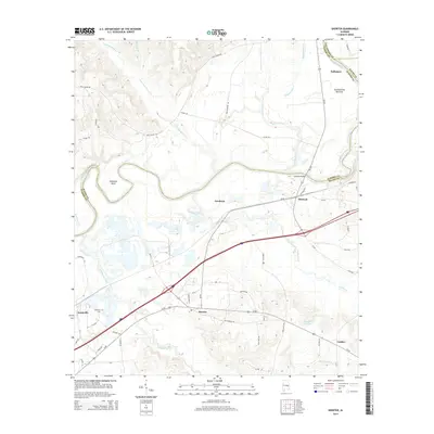
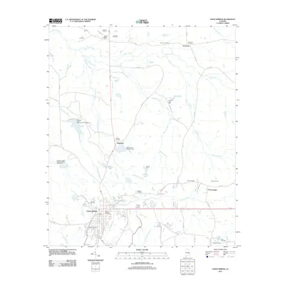 2011 Union Springs2011 Print · USGSCovers Macon County, including Union Springs, Armstrong, and other nearby areas
 - 2011 Map of Davisville, 2011 Print
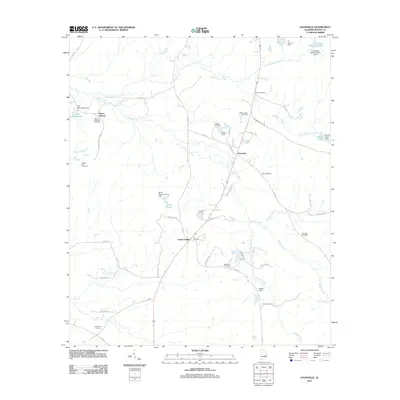 2011 Davisville2011 Print · USGSCovers Macon County, including Davisville, Mount Andrew, and other nearby areas
 - 2011 Map of Hurtsboro, 2011 Print
 2011 Hurtsboro2011 Print · USGSCovers Macon County, including Hurtsboro, Enon, and other nearby areas
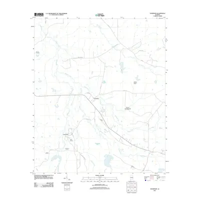
 - 2011 Map of Fitzpatrick, 2011 Print
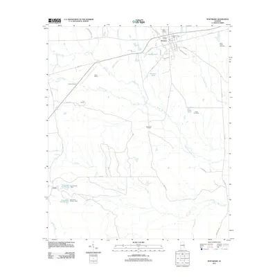
 2011 Fitzpatrick2011 Print · USGSCovers Macon County, including Mitchell, Fitzpatrick, and other nearby areas
 - 2011 Map of Loachapoka, 2011 Print
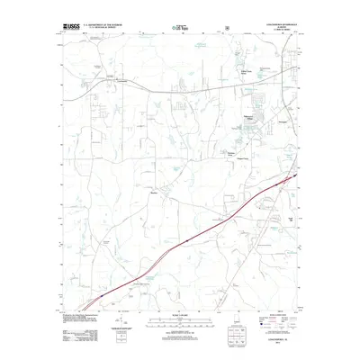 2011 Loachapoka2011 Print · USGSCovers Macon County, including Auburn, Loachapoka, and other nearby areas
 - 2011 Map of Notasulga, 2011 Print
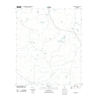
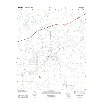
 2011 Notasulga2011 Print · USGSCovers Macon County, including Tuskegee, Notasulga, and other nearby areas
 - 2011 Map of Roba, 2011 Print
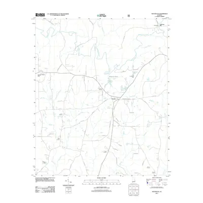
 2011 Roba2011 Print · USGSCovers Macon County, including Peachburg, Hannon, and other nearby areas
 - 2011 Map of Tuskegee, 2011 Print
 2011 Tuskegee2011 Print · USGSCovers Macon County, including Tuskegee, Franklin, and other nearby areas
 - 2011 Map of Thompson, 2011 Print
 2011 Thompson2011 Print · USGSCovers Macon County, including Thompson, Cornerstone, and other nearby areas
 - 2011 Map of Society Hill, 2011 Print
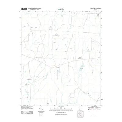 2011 Society Hill2011 Print · USGSCovers Macon County, including Society Hill, Lee County, and other nearby areas
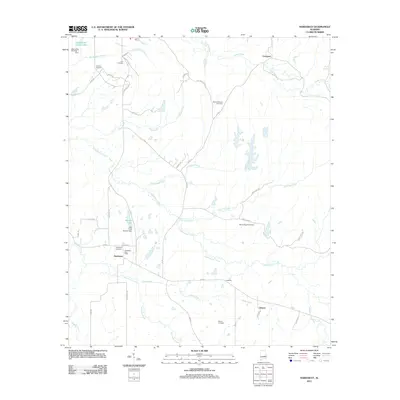
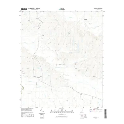
 - 2011 Map of Warriorstand, 2011 Print
 2011 Warriorstand2011 Print · USGSCovers Macon County, including Warriorstand, United States, and other nearby areas
 - 2011 Map of Creek Stand, 2011 Print
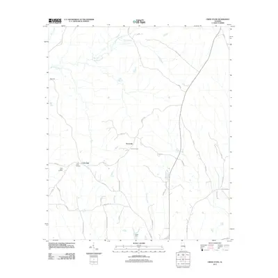 2011 Creek Stand2011 Print · USGSCovers Macon County, including Boromville, Creek Stand, and other nearby areas
 - 2011 Map of Carrville, 2011 Print
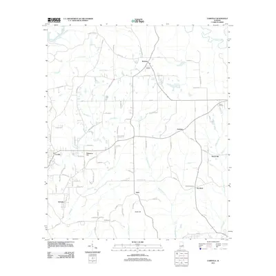 2011 Carrville2011 Print · USGSCovers Macon County, including Tuskegee, Tallassee, and other nearby areas
 - 2011 Map of Brassell, 2011 Print
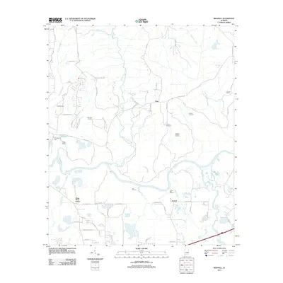 2011 Brassell2011 Print · USGSCovers Macon County, including Montgomery, Pike Road, and other nearby areas
 - 2011 Map of Auburn, 2011 Print
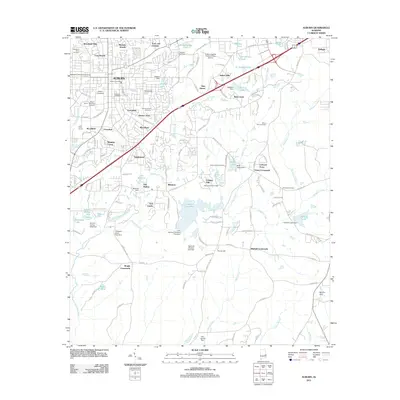 2011 Auburn2011 Print · USGSCovers Macon County, including Auburn, Opelika, and other nearby areas
 - 2011 Map of Shorter, 2011 Print
 2011 Shorter2011 Print · USGSCovers Macon County, including Tallassee, Shorter, and other nearby areas
 - 2011 Map of Little Texas, 2011 Print
 2011 Little Texas2011 Print · USGSCovers Macon County, including Alliance, Little Texas, and other nearby areas
 - 2011 Map of Hardaway, 2011 Print
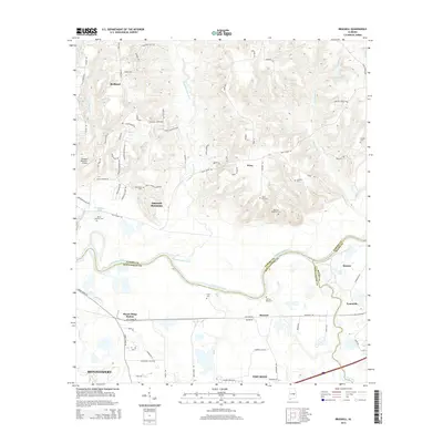
 2011 Hardaway2011 Print · USGSCovers Macon County, including Hardaway, Liverpool, and other nearby areas
 - 2012 Map of Mount Meigs, 2012 Print
 2012 Mount Meigs2012 Print · USGSCovers Macon County, including Montgomery, Pike Road, and other nearby areas
 - 2014 Map of Brassell, 2014 Print
 2014 Brassell2014 Print · USGSCovers Macon County, including Montgomery, Pike Road, and other nearby areas
 - 2014 Map of Hardaway, 2014 Print
 2014 Hardaway2014 Print · USGSCovers Macon County, including Hardaway, Liverpool, and other nearby areas
 - 2014 Map of Shorter, 2014 Print
 2014 Shorter2014 Print · USGSCovers Macon County, including Tallassee, Shorter, and other nearby areas
 - 2014 Map of Auburn, 2014 Print
 2014 Auburn2014 Print · USGSCovers Macon County, including Auburn, Opelika, and other nearby areas
Showing maps 1-25 of 105
Top cities of Macon County
Frequently asked questions
- What are the different types of historical maps available for Macon County?
- What is the oldest map of Macon County?
- Where can I purchase historical maps of Macon County for my home or office?
- Where can I download high-res historical maps of Macon County?
- Are there historical topographic maps available for Macon County?
- Is there historical aerial imagery available for Macon County?
- Where are historical maps of Macon County sourced from?