2020s Maps of Macon County, Alabama
Explore 42 historic maps of Macon County from the 2020s. These maps offer a rare glimpse into what life looked like during the 2020s — showing old roads, neighborhoods, homes, and landmarks that have changed or disappeared over time.
Whether you're researching your family's past, planning a metal detecting trip, or studying how Macon County's landscape evolved across the 2020s, these high-resolution maps are a powerful tool for exploring the history of this region.
- Focus on a specific era: All maps on this page are from the 2020s, giving you a focused view of this time period.
- See what’s changed: Compare century-old streets, trails, and buildings to today's modern landscape using overlays and satellite layers.
- Research with precision: Use these maps for genealogy, historical research, land use analysis, or educational projects.
- View, download, or print: Maps are fully viewable online in high resolution, and can be downloaded or printed for your own records.
Start exploring Macon County's history through authentic maps from the 2020s. This is your window into the past.
Macon County, AL maps
(42)- 2020 Map of Davisville, 2020 Print
 2020 Davisville2020 Print · USGSCovers Macon County, including Davisville, Mount Andrew, and other nearby areas
 - 2020 Map of Mount Meigs, 2020 Print
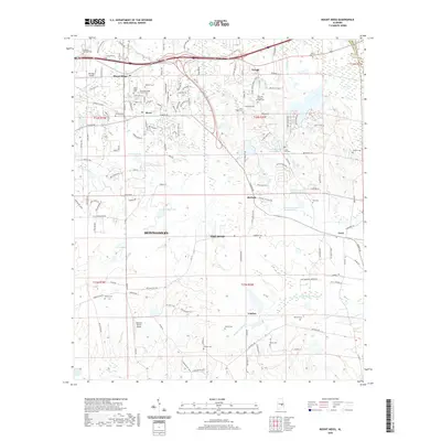 2020 Mount Meigs2020 Print · USGSCovers Macon County, including Montgomery, Pike Road, and other nearby areas
 - 2020 Map of Shorter, 2020 Print
 2020 Shorter2020 Print · USGSCovers Macon County, including Tallassee, Shorter, and other nearby areas
 - 2020 Map of La Place, 2020 Print
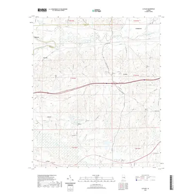 2020 La Place2020 Print · USGSCovers Macon County, including Tuskegee, Tallassee, and other nearby areas
 - 2020 Map of Hurtsboro, 2020 Print
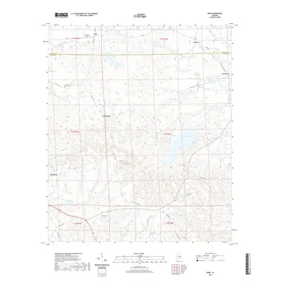
 2020 Hurtsboro2020 Print · USGSCovers Macon County, including Hurtsboro, Enon, and other nearby areas
 - 2020 Map of Union Springs, 2020 Print
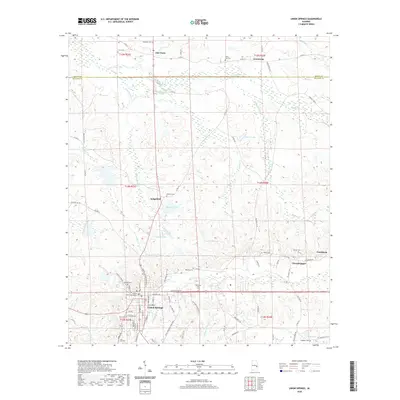 2020 Union Springs2020 Print · USGSCovers Macon County, including Union Springs, Armstrong, and other nearby areas
 - 2020 Map of Carrville, 2020 Print
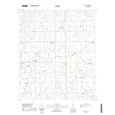 2020 Carrville2020 Print · USGSCovers Macon County, including Tuskegee, Tallassee, and other nearby areas
 - 2020 Map of Hardaway, 2020 Print
 2020 Hardaway2020 Print · USGSCovers Macon County, including Hardaway, Liverpool, and other nearby areas
 - 2020 Map of Fitzpatrick, 2020 Print
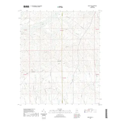
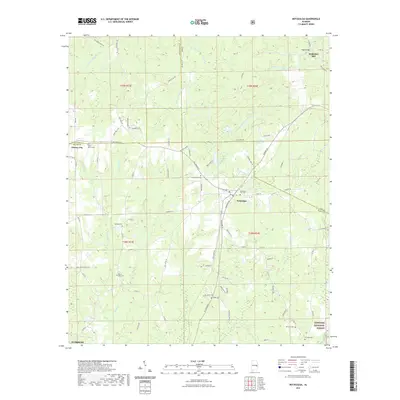
 2020 Fitzpatrick2020 Print · USGSCovers Macon County, including Mitchell, Fitzpatrick, and other nearby areas
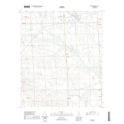
 - 2020 Map of Warriorstand, 2020 Print
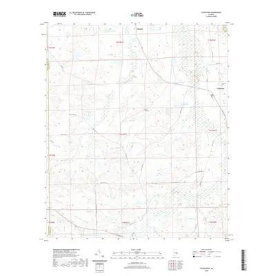
 2020 Warriorstand2020 Print · USGSCovers Macon County, including Warriorstand, United States, and other nearby areas
 - 2020 Map of Chesson, 2020 Print
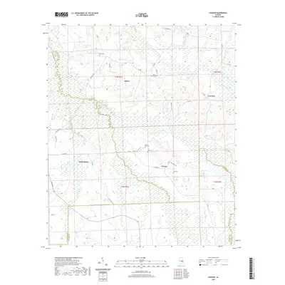 2020 Chesson2020 Print · USGSCovers Macon County, including Pike Road, Shorter, and other nearby areas
 - 2020 Map of Brassell, 2020 Print
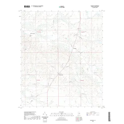
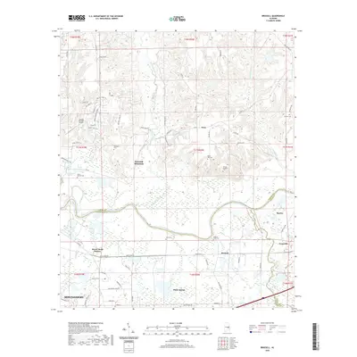 2020 Brassell2020 Print · USGSCovers Macon County, including Montgomery, Pike Road, and other nearby areas
 - 2020 Map of Thompson, 2020 Print
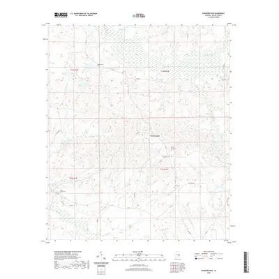
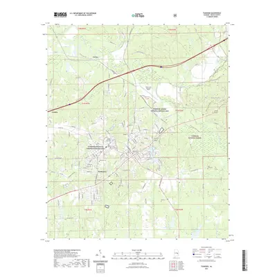
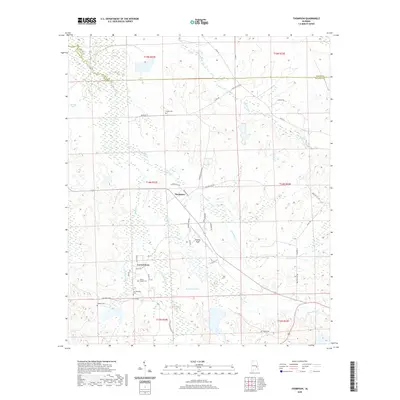 2020 Thompson2020 Print · USGSCovers Macon County, including Thompson, Cornerstone, and other nearby areas
 - 2020 Map of Roba, 2020 Print
 2020 Roba2020 Print · USGSCovers Macon County, including Peachburg, Hannon, and other nearby areas
 - 2020 Map of Creek Stand, 2020 Print
 2020 Creek Stand2020 Print · USGSCovers Macon County, including Boromville, Creek Stand, and other nearby areas
 - 2020 Map of Society Hill, 2020 Print
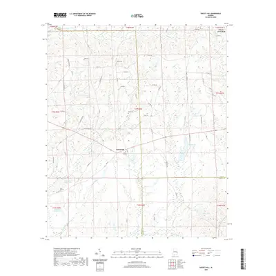 2020 Society Hill2020 Print · USGSCovers Macon County, including Society Hill, Lee County, and other nearby areas
 - 2020 Map of Auburn, 2020 Print
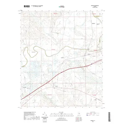
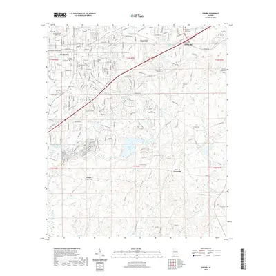 2020 Auburn2020 Print · USGSCovers Macon County, including Auburn, Opelika, and other nearby areas
 - 2021 Map of Notasulga, 2021 Print
 2021 Notasulga2021 Print · USGSCovers Macon County, including Tuskegee, Notasulga, and other nearby areas
 - 2021 Map of Loachapoka, 2021 Print
 2021 Loachapoka2021 Print · USGSCovers Macon County, including Auburn, Loachapoka, and other nearby areas
 - 2021 Map of Tuskegee, 2021 Print
 2021 Tuskegee2021 Print · USGSCovers Macon County, including Tuskegee, Franklin, and other nearby areas
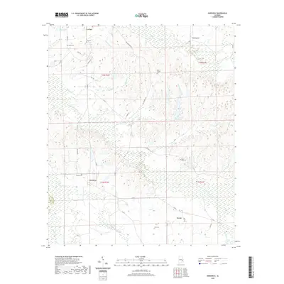
 - 2021 Map of Little Texas, 2021 Print
 2021 Little Texas2021 Print · USGSCovers Macon County, including Alliance, Little Texas, and other nearby areas
 - 2024 Map of Davisville, 2024 Print
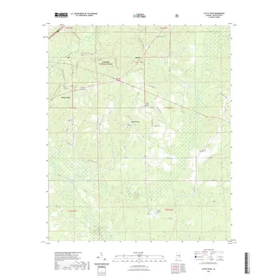
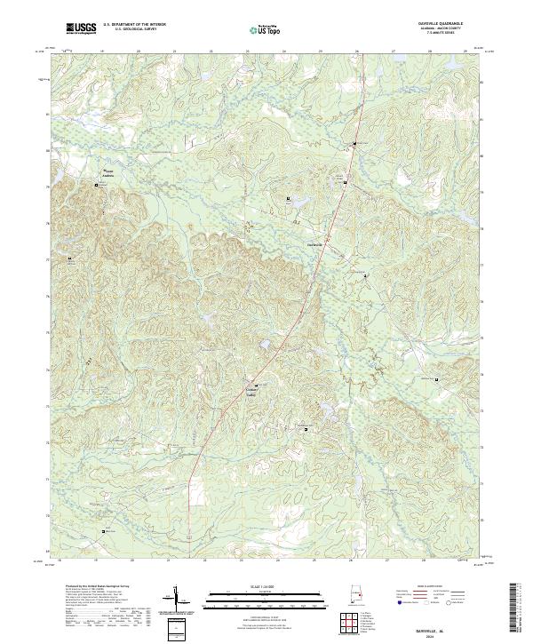 2024 Davisville2024 Print · USGSMacon County in the early twenty-first century remains a landscape of quiet rural settlements and deeply rooted community history. Researchers can locate numerous family-named burial grounds like Mount Andrews Cem and Ligon Cem along the banks of Calebee Creek.
 - 2024 Map of Chesson, 2024 Print
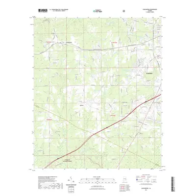
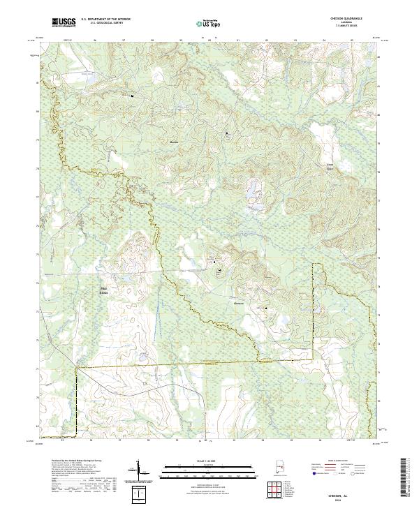 2024 Chesson2024 Print · USGSMacon and Montgomery counties meet in this 2024 survey of the Alabama Black Belt, showing the evolving rural landscape between Shorter and Pike Road. Researchers can pinpoint family history at Mount Zion Cem, trace the drainage of Cubahatchee Creek, or locate the historic settlement of Cross Keys.
 - 2024 Map of Hurtsboro, 2024 Print
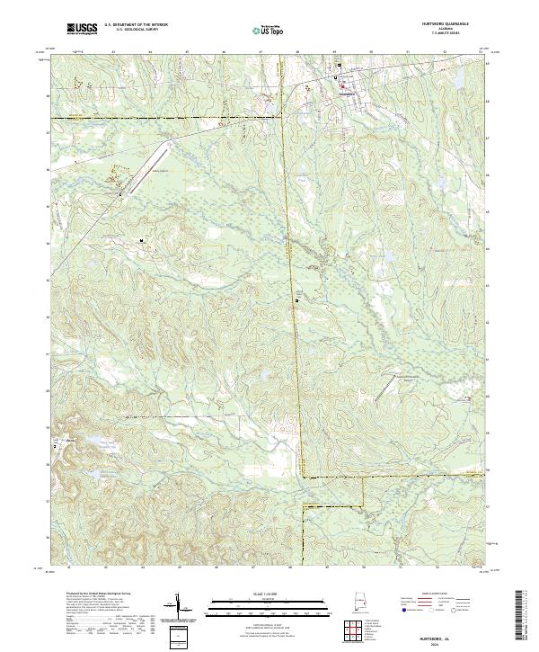 2024 Hurtsboro2024 Print · USGSThe borderlands of Russell, Bullock, Macon, and Barbour counties come together in this modern survey of eastern Alabama. Researchers can trace family roots at Hurtsboro Cem and Enon Cem or explore the drainage of Gowikee Creek.
 - 2024 Map of Society Hill, 2024 Print
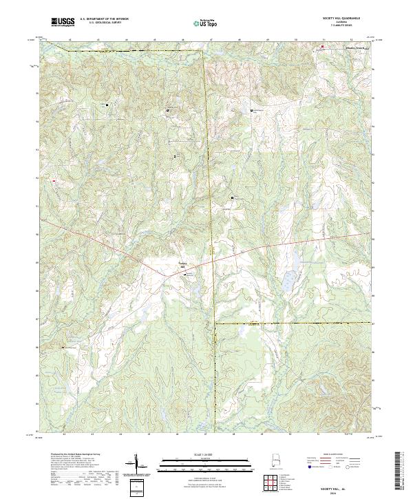 2024 Society Hill2024 Print · USGSSociety Hill and the tri-county borderlands of Macon, Lee, and Russell are documented here in their modern rural state. Researchers can trace family history through numerous remote burial sites like Bethel Baptist Cem and Cobbs Cem while navigating the creek-carved landscape of Opintlocco Creek.
Showing maps 1-25 of 42
Top cities of Macon County
Frequently asked questions
- What are the different types of historical maps available for Macon County?
- What is the oldest map of Macon County?
- Where can I purchase historical maps of Macon County for my home or office?
- Where can I download high-res historical maps of Macon County?
- Are there historical topographic maps available for Macon County?
- Is there historical aerial imagery available for Macon County?
- Where are historical maps of Macon County sourced from?