Old Maps of Pea Ridge, Huntsville for Metal Detecting
Plan your next treasure hunt with 18 historic maps of Pea Ridge. Find old homesites, ghost towns, trails, and gathering spots that may be lost to time — perfect for identifying promising metal detecting locations.
- Locate forgotten sites: Uncover places like long-lost settlements, abandoned rail lines, or gathering spots.
- Plan better hunts: Use map overlays combined with LiDAR or satellite views to narrow in on historically rich areas.
- Made for detectorists: Thousands of hobbyists use these maps to discover relics, coins, and hidden history.
Use these historic maps to boost your research and find new opportunities beneath the surface of Pea Ridge.
Pea Ridge, Huntsville maps
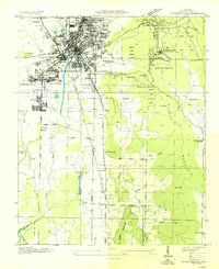
(18)- 1888 Map of Huntsville
 1888 Huntsville1888 Print · USGSMadison and Limestone counties in the late 1880s showcase a landscape defined by the Tennessee River and major early rail lines. Researchers can trace the layout of Huntsville or locate long-standing communities like Mooresville and Thompsons Mill.
 - 1892 Map of Huntsville
 1892 Huntsville1892 Print · USGSNorth Alabama was a landscape of river ferries and rising rail hubs in the 1890s, caught here just as the region's industry began to modernize. Researchers can locate vanished landmarks like the Monte Sano Hotel and trace old family-named sites from Thompsons Mill to Lemans Ferry.6 unique versions available
 - 1936 Map of Huntsville
 1936 Huntsville1936 Print · USGSHuntsville was a bustling railway and textile hub in the mid-thirties, just before the arrival of the space industry. Genealogists and historians can trace the footprint of early mill villages like Merrimac or locate family plots at Maple Hill Cem and Sivley Cem.
 - 1948 Map of Huntsville, 1956 Print
 1948 Huntsville1956 Print · USGSHuntsville at the start of its postwar boom reveals a landscape of industrial mill villages and quiet mountain coves. Researchers can trace the original Redstone Arsenal boundary or locate family sites at Maple Hill Cem and Mt Lebanon Ch.
 - 1950 Map of Huntsville
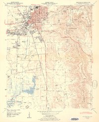 1950 Huntsville1950 Print · USGSHuntsville at the start of the 1950s shows the historic city center just as the military and aerospace sectors began to reshape the Tennessee Valley. Researchers can trace the massive Huntsville Arsenal boundaries, find early schools like Rison Sch, and locate family names at Merrimack Cem or Sivley Cem.2 unique versions available
 - 1956 Map of Gadsden, 1966 Print
 1956 Gadsden1966 Print · USGSNorth Alabama in the mid-1950s shows a region transformed by river engineering and federal industry. Genealogists and local historians can trace the development of the Tennessee Valley through the growth of Huntsville, the sprawling Redstone Arsenal, and the expansive Guntersville Lake.3 unique versions available
 - 1958 Map of Gadsden
 1958 Gadsden1958 Print · USGSNorth Alabama comes alive in the late 1950s as the Tennessee Valley Authority’s massive river projects and the rise of the space industry reshaped the landscape. Researchers can trace the mid-century footprints of Huntsville, Redstone Arsenal, and the riverside rail networks of the Southern railroad.
 - 1960 Map of Gadsden
 1960 Gadsden1960 Print · USGSNorthern Alabama in the mid-1950s is defined by the mighty Tennessee River and its massive reservoirs. Trace the development of Huntsville and Redstone Arsenal or explore the vast William B Bankhead National Forest.2 unique versions available
 - 1963 Map of Gadsden
 1963 Gadsden1963 Print · USGSNorthern Alabama underwent a dramatic mid-century transformation as the Tennessee Valley became a hub for defense and industry. Researchers can trace the development of the Redstone Arsenal, the route of the Natchez Trace Parkway, and long-standing rail lines like the Southern Railway.
 - 1964 Map of Huntsville, 1966 Print
 1964 Huntsville1966 Print · USGSHuntsville in the mid-sixties shows a city rapidly expanding south and east as suburban neighborhoods reach into the valleys. Genealogists can locate family sites near Maple Hill Cem, the Old Huntsville-Madison County Airport, and First Church.
 - 1975 Map of Huntsville, 1976 Print
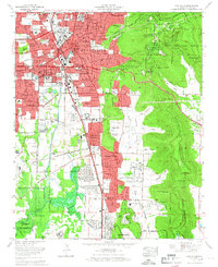
 1975 Huntsville1976 Print · USGSHuntsville and the Tennessee Valley are seen here in the mid-seventies during a season of suburban expansion and industrial growth. Genealogists and historians can trace family locations near Maple Hill Cem, the grounds of Redstone Arsenal, and the old Merrimack Cem.3 unique versions available
 - 1984 Map of Huntsville, 1986 Print
 1984 Huntsville1986 Print · USGSNorthern Alabama and the Tennessee borderlands are captured in the mid-eighties as Huntsville and the Redstone Arsenal expand. Researchers can trace rural landmarks from Woodlin Mill to the Cumberland Plateau and old rail lines like the Southern.3 unique versions available
 - 2011 Map of Huntsville, 2011 Print
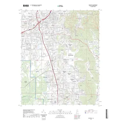
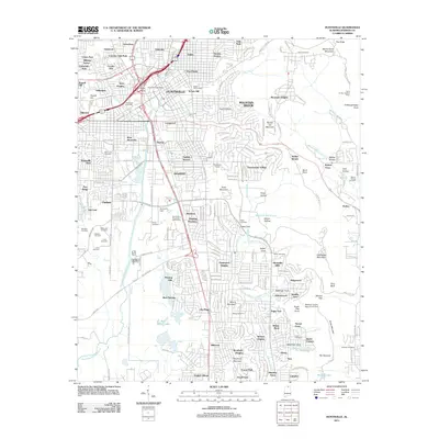 2011 Huntsville2011 Print · USGSCovers Pea Ridge, including Huntsville, Bucks Canyon, and other nearby areas
 - 2014 Map of Huntsville, 2014 Print
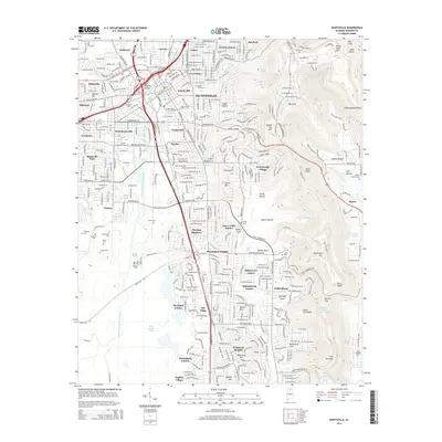 2014 Huntsville2014 Print · USGSCovers Pea Ridge, including Huntsville, Bucks Canyon, and other nearby areas
 - 2018 Map of Huntsville, 2018 Print
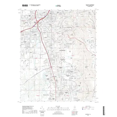 2018 Huntsville2018 Print · USGSCovers Pea Ridge, including Huntsville, Bucks Canyon, and other nearby areas
 - 2020 Map of Huntsville, 2020 Print
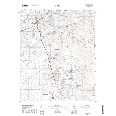 2020 Huntsville2020 Print · USGSCovers Pea Ridge, including Huntsville, Bucks Canyon, and other nearby areas
 - 2023 Map of Huntsville, 2023 Print
 2023 Huntsville2023 Print · USGSCovers Pea Ridge, including Huntsville, Bucks Canyon, and other nearby areas
 - 2024 Map of Huntsville, 2024 Print
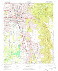
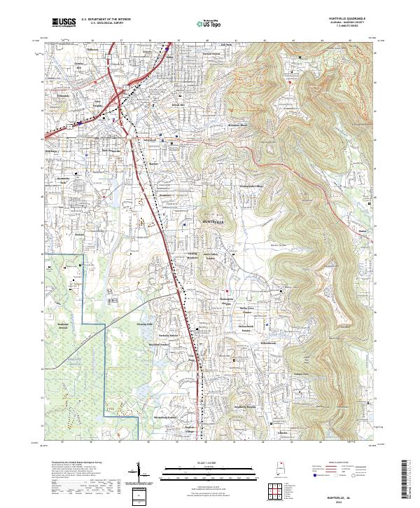 2024 Huntsville2024 Print · USGSHuntsville at the start of the 2020s shows the continued expansion of the Space City from its historical center toward the slopes of Monte Sano Mtn. Researchers can trace neighborhood development from Lily Flagg to Lincoln and locate historical landmarks like Glenwood Cem.
End of results
Showing maps 1-18 of 18
Top cities near Pea Ridge
- Huntsville historical maps
- Madison historical maps
- Meridianville historical maps
- Moores Mill historical maps
- Harvest historical maps
- Priceville historical maps
See more
Frequently asked questions
- What are the different types of historical maps available for Pea Ridge?
- What is the oldest map of Pea Ridge?
- Where can I purchase historical maps of Pea Ridge for my home or office?
- Where can I download high-res historical maps of Pea Ridge?
- Are there historical topographic maps available for Pea Ridge?
- Is there historical aerial imagery available for Pea Ridge?
- Where are historical maps of Pea Ridge sourced from?