2000s (21st Century) Maps of Madison, Alabama
Explore 20 historic maps of Madison from the 2000s (21st Century). These maps offer a rare glimpse into what life looked like during the 2000s — showing old roads, neighborhoods, homes, and landmarks that have changed or disappeared over time.
Whether you're researching your family's past, planning a metal detecting trip, or studying how Madison's landscape evolved across the 2000s, these high-resolution maps are a powerful tool for exploring the history of this region.
- Focus on a specific era: All maps on this page are from the 2000s, giving you a focused view of this time period.
- See what’s changed: Compare century-old streets, trails, and buildings to today's modern landscape using overlays and satellite layers.
- Research with precision: Use these maps for genealogy, historical research, land use analysis, or educational projects.
- View, download, or print: Maps are fully viewable online in high resolution, and can be downloaded or printed for your own records.
Start exploring Madison's history through authentic maps from the 2000s. This is your window into the past.
Madison, AL maps
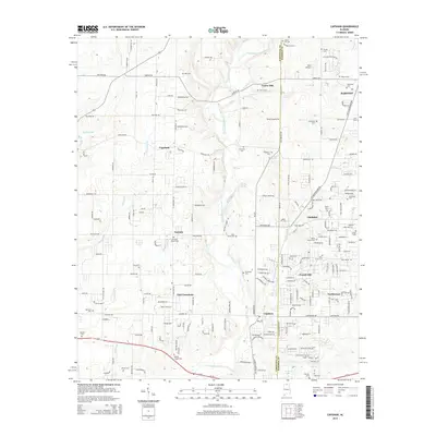
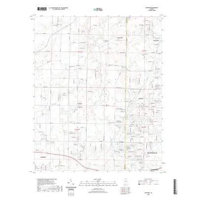
(20)- 2011 Map of Capshaw, 2011 Print
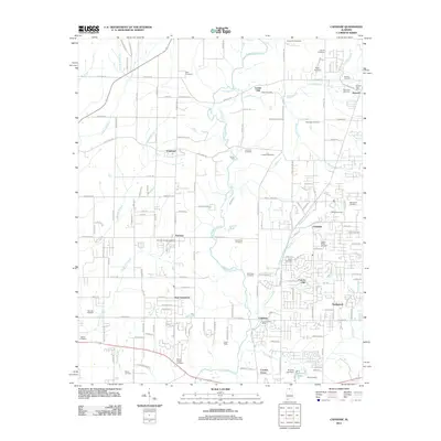 2011 Capshaw2011 Print · USGSCovers Madison, including Huntsville, Athens, and other nearby areas
 - 2011 Map of Greenbrier, 2011 Print
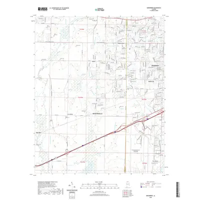
 2011 Greenbrier2011 Print · USGSCovers Madison, including Huntsville, Oakland, and other nearby areas
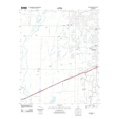
 - 2011 Map of Madison, 2011 Print
 2011 Madison2011 Print · USGSCovers Madison, including Huntsville, Nolan Hills, and other nearby areas
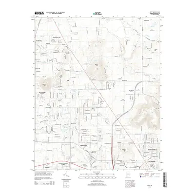
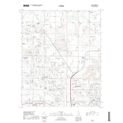
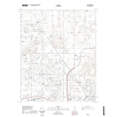
 - 2011 Map of Jeff, 2011 Print
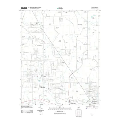 2011 Jeff2011 Print · USGSCovers Madison, including Huntsville, Rainbow, and other nearby areas
 - 2014 Map of Capshaw, 2014 Print
 2014 Capshaw2014 Print · USGSCovers Madison, including Huntsville, Athens, and other nearby areas
 - 2014 Map of Jeff, 2014 Print
 2014 Jeff2014 Print · USGSCovers Madison, including Huntsville, Rainbow, and other nearby areas
 - 2014 Map of Madison, 2014 Print
 2014 Madison2014 Print · USGSCovers Madison, including Huntsville, Nolan Hills, and other nearby areas
 - 2014 Map of Greenbrier, 2014 Print
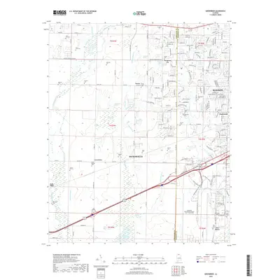
 2014 Greenbrier2014 Print · USGSCovers Madison, including Huntsville, Oakland, and other nearby areas
 - 2018 Map of Jeff, 2018 Print
 2018 Jeff2018 Print · USGSCovers Madison, including Huntsville, Rainbow, and other nearby areas
 - 2018 Map of Capshaw, 2018 Print
 2018 Capshaw2018 Print · USGSCovers Madison, including Huntsville, Athens, and other nearby areas
 - 2018 Map of Greenbrier, 2018 Print
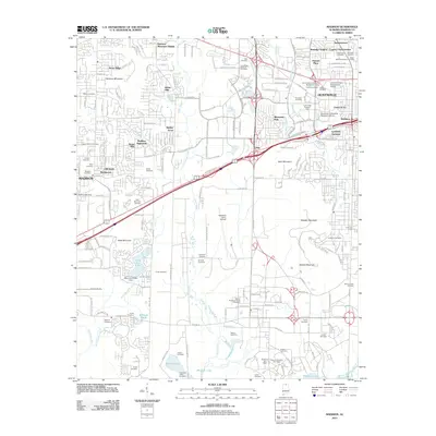
 2018 Greenbrier2018 Print · USGSCovers Madison, including Huntsville, Oakland, and other nearby areas
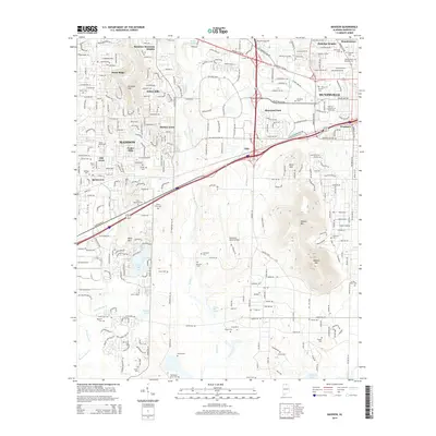
 - 2018 Map of Madison, 2018 Print
 2018 Madison2018 Print · USGSCovers Madison, including Huntsville, Nolan Hills, and other nearby areas
 - 2020 Map of Jeff, 2020 Print
 2020 Jeff2020 Print · USGSCovers Madison, including Huntsville, Rainbow, and other nearby areas
 - 2020 Map of Capshaw, 2020 Print
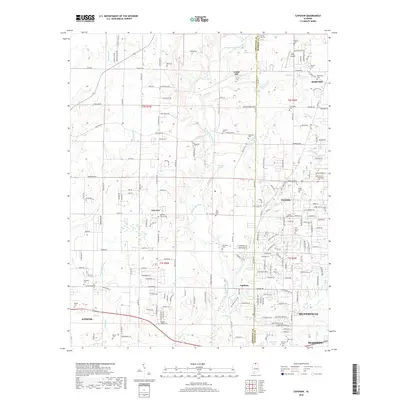
 2020 Capshaw2020 Print · USGSCovers Madison, including Huntsville, Athens, and other nearby areas
 - 2020 Map of Madison, 2020 Print
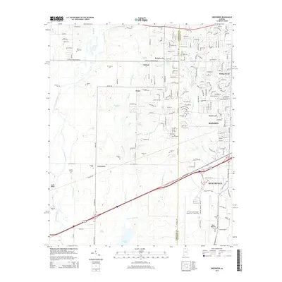
 2020 Madison2020 Print · USGSCovers Madison, including Huntsville, Nolan Hills, and other nearby areas
 - 2020 Map of Greenbrier, 2020 Print
 2020 Greenbrier2020 Print · USGSCovers Madison, including Huntsville, Oakland, and other nearby areas
 - 2024 Map of Capshaw, 2024 Print
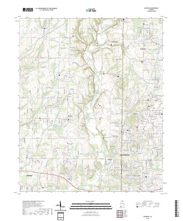 2024 Capshaw2024 Print · USGSLimestone County comes into focus in the mid-2020s as modern development weaves through a landscape of historic family homesteads and creeks. Researchers can locate numerous small burial sites like the Old German Cem and Vasser Pettus Cem near Capshaw and Fairview.
 - 2024 Map of Jeff, 2024 Print
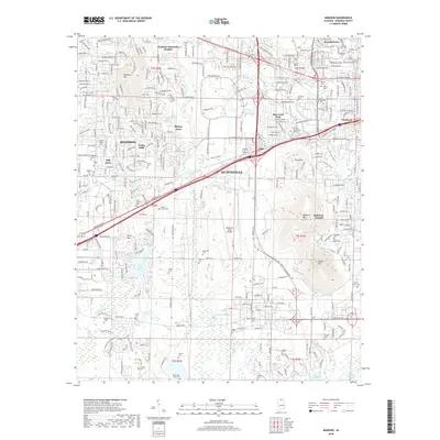
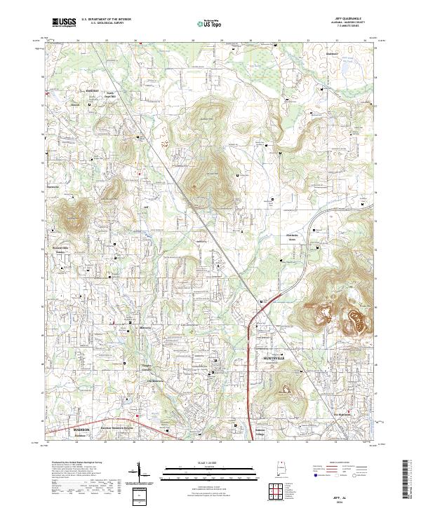 2024 Jeff2024 Print · USGSMadison County at the edge of Huntsville's expansion shows a landscape where historic rural identifiers meet modern growth. Genealogists can locate family burial sites like Bouldin-Hammond Cem and trace the legacy of Oakwood University and Monrovia.
 - 2024 Map of Greenbrier, 2024 Print
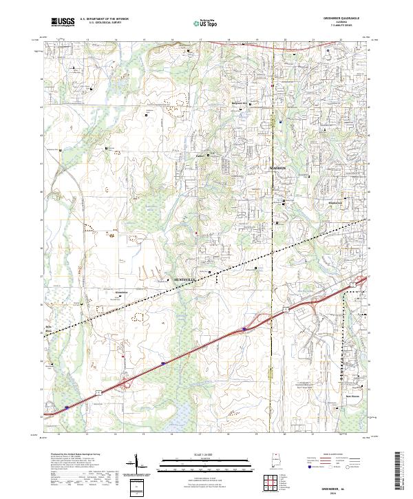 2024 Greenbrier2024 Print · USGSMadison and Huntsville intersect here during a period of significant growth, where international aviation hubs meet protected river wetlands. Trace family roots at the Bryan Farm Cem or Jones-Donnell Cem, and explore the wetlands of the Wheeler National Wildlife Refuge.
 - 2024 Map of Madison, 2024 Print
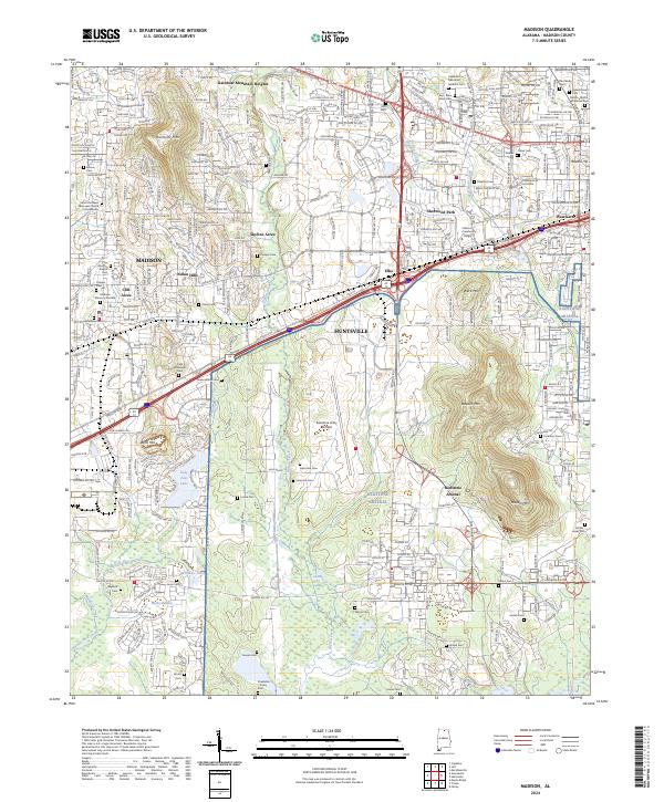 2024 Madison2024 Print · USGSMadison and Huntsville show their modern growth in the twenty-first century, anchored by the massive Redstone Arsenal and the Wheeler National Wildlife Refuge. Researchers can locate dozens of burial sites, including the Powhatan Toney Cem, Inman Cem, and Madison Memory Gardens.
End of results
Showing maps 1-20 of 20
Top cities near Madison
- Huntsville historical maps
- Decatur historical maps
- Athens historical maps
- Hartselle historical maps
- Meridianville historical maps
- Harvest historical maps
See more
Top neighborhoods of Madison
- Rainbow historical maps
- Oakland historical maps
- Rainbow Gap Estates historical maps
- Maplewood historical maps
- Brentwood historical maps
- Clift Acres historical maps
See more
Frequently asked questions
- What are the different types of historical maps available for Madison?
- What is the oldest map of Madison?
- Where can I purchase historical maps of Madison for my home or office?
- Where can I download high-res historical maps of Madison?
- Are there historical topographic maps available for Madison?
- Is there historical aerial imagery available for Madison?
- Where are historical maps of Madison sourced from?