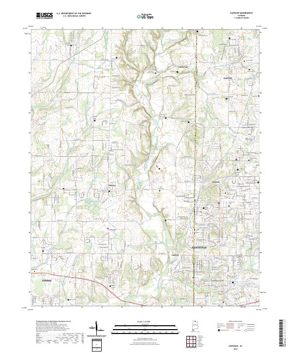
2024 Map of Capshaw
USGS Topo · Published 2024About this map
Limestone Creek and its many tributaries, such as Leslie Branch and French Mill Creek, drain this portion of Alabama as it undergoes modern residential expansion. The map reveal a landscape where rural legacy meets contemporary growth, particularly in settlements like Fairview and Harvest. Genealogists will find a high density of small family and community burial grounds, including the Old German Cem, McCargo - Crutcher Cem, and Cain Cem. These sites, often situated near historic crossroads like Co Rd 44 and Capshaw Rd, mark the early homesteads of the region. Notable local landmarks like Center Hill and Harding Spring provide geographic anchors amidst a grid of secondary roads like Beatline Rd and Dorning Rd, which now connect the expanding outskirts of Huntsville and Athens.
Find a feature on this map
135 named features on this map. Tap any name to fly to it.
Don’t see what you’re looking for? This feature index may not catch every label — zoom into the map to look around manually.
Map Details
Editions of this 2024 Capshaw Map
This is the sole edition of this map. No revisions or reprints were ever made.
Other maps of this area

1888 · Huntsville
USGS Topo · 1:125,000

1892 · Huntsville
USGS Topo · 1:125,000

1935 · Athens
USGS Topo · 1:24,000

1936 · Jeff
USGS Topo · 1:24,000

1936 · Capshaw
USGS Topo · 1:24,000

1936 · Madison
USGS Topo · 1:24,000

1936 · Elkmont
USGS Topo · 1:24,000

1936 · Ardmore
USGS Topo · 1:24,000

1936 · Toney
USGS Topo · 1:24,000

1936 · Tanner
USGS Topo · 1:24,000