2020s Maps of Thomaston, Alabama
Explore 4 historic maps of Thomaston from the 2020s. These maps offer a rare glimpse into what life looked like during the 2020s — showing old roads, neighborhoods, homes, and landmarks that have changed or disappeared over time.
Whether you're researching your family's past, planning a metal detecting trip, or studying how Thomaston's landscape evolved across the 2020s, these high-resolution maps are a powerful tool for exploring the history of this region.
- Focus on a specific era: All maps on this page are from the 2020s, giving you a focused view of this time period.
- See what’s changed: Compare century-old streets, trails, and buildings to today's modern landscape using overlays and satellite layers.
- Research with precision: Use these maps for genealogy, historical research, land use analysis, or educational projects.
- View, download, or print: Maps are fully viewable online in high resolution, and can be downloaded or printed for your own records.
Start exploring Thomaston's history through authentic maps from the 2020s. This is your window into the past.
Thomaston, AL maps
(4)- 2020 Map of Thomaston East, 2020 Print
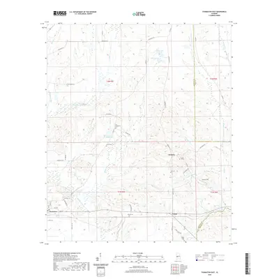 2020 Thomaston East2020 Print · USGSCovers Thomaston, including Consul, McKinley, and other nearby areas
 - 2020 Map of Thomaston West, 2020 Print
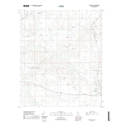 2020 Thomaston West2020 Print · USGSCovers Thomaston, including Dayton, Half Chance, and other nearby areas
 - 2024 Map of Thomaston East, 2024 Print
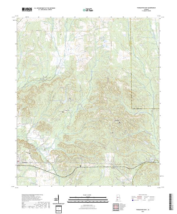 2024 Thomaston East2024 Print · USGSMarengo County life in the Alabama Black Belt is captured here in the contemporary era. Genealogists and historians can trace family roots through numerous rural burial grounds like Bethel Hill Cem and Glovers Cem or locate the Faircloth Plantation.
 - 2024 Map of Thomaston West, 2024 Print
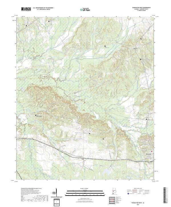 2024 Thomaston West2024 Print · USGSMarengo County's rural heartland is preserved here in the modern era, showing a landscape defined by creek bottoms and historic crossroads. Genealogists can trace family roots through numerous burial sites like Quinney Family Cem or locate old settlements at Half Chance and Hugo.
End of results
Showing maps 1-4 of 4
Top cities near Thomaston
- Demopolis historical maps
- Uniontown historical maps
- Linden historical maps
- Sweet Water historical maps
- Providence historical maps
- Faunsdale historical maps
See more
Frequently asked questions
- What are the different types of historical maps available for Thomaston?
- What is the oldest map of Thomaston?
- Where can I purchase historical maps of Thomaston for my home or office?
- Where can I download high-res historical maps of Thomaston?
- Are there historical topographic maps available for Thomaston?
- Is there historical aerial imagery available for Thomaston?
- Where are historical maps of Thomaston sourced from?