Old Maps of Thomaston, Alabama for Academic Research
Study the evolution of Thomaston with 16 high-resolution historic maps. Whether you're teaching, researching, or modeling changes in land use, these maps provide essential visual documentation of urban, environmental, and geographic change.
- Analyze long-term change: Track patterns in development, transportation, and natural features.
- Ideal for environmental or urban studies: Support academic projects with primary historical map data.
- Use in the classroom or lab: Educators and researchers rely on these maps to bring historical context to life.
These maps are a powerful tool for teaching, research, and visualizing how Thomaston has changed over the decades.
Thomaston, AL maps
(16)- 1953 Map of Montgomery, 1964 Print
 1953 Montgomery1964 Print · USGSCentral Alabama's river-and-rail corridor is mapped here in the mid-fifties, showing the vital connections between the capital and the Black Belt. Genealogists and historians can trace rail depots and crossroads from Marion Junction to Wetumpka, alongside landmarks like Craig AFB.4 unique versions available
 - 1956 Map of Montgomery
 1956 Montgomery1956 Print · USGSCentral Alabama in the mid-1950s shows a landscape defined by its great river systems and a booming military aviation presence. Genealogists and historians can trace the rail corridors of the Southern Railway and locate tactical bases like Maxwell AFB and Craig AFB.
 - 1957 Map of Montgomery
 1957 Montgomery1957 Print · USGSCentral Alabama in the mid-fifties is defined by the winding Alabama River and a strategic network of military bases and rail lines. Trace family roots in Montgomery and Selma, or locate landmarks like Craig AFB and the State Capitol before the interstate era.
 - 1968 Map of Thomaston East, 1971 Print
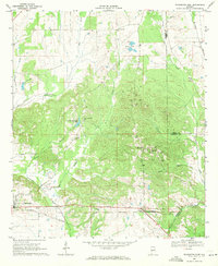 1968 Thomaston East1971 Print · USGSMarengo County during the late sixties is captured here in detail, showing a landscape of rural settlements and railroad corridors. Researchers can trace the Louisville and Nashville line and locate community landmarks like Bethel Hill Ch, St Johns Sch, and the town of McKinley.
 - 1968 Map of Thomaston West, 1971 Print
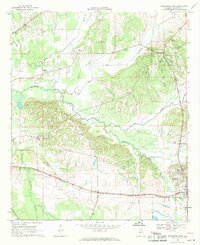 1968 Thomaston West1971 Print · USGSMarengo County in the late sixties shows a landscape shaped by the Louisville and Nashville railroad and the winding Chickasaw Bogue. Genealogists can trace family roots through numerous rural landmarks like Half Chance, Cades Chapel Cem, and the County Training Sch.2 unique versions available
 - 1986 Map of Selma
 1986 Selma1986 Print · USGSCentral Alabama's river and rail networks are preserved here in the mid-eighties, showing the transition from river travel to modern infrastructure. Researchers can trace the layout of Selma, the historic capital at Cahaba, and the Millers Ferry Lock and Dam.2 unique versions available
 - 2011 Map of Thomaston East, 2011 Print
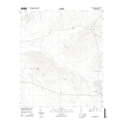
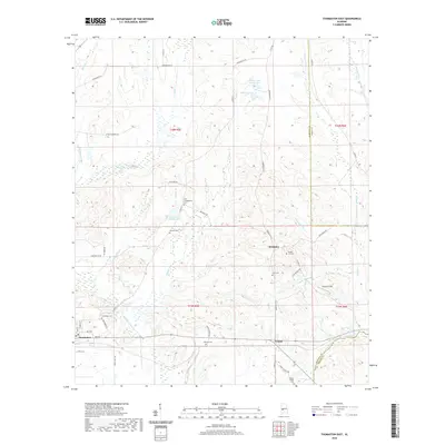
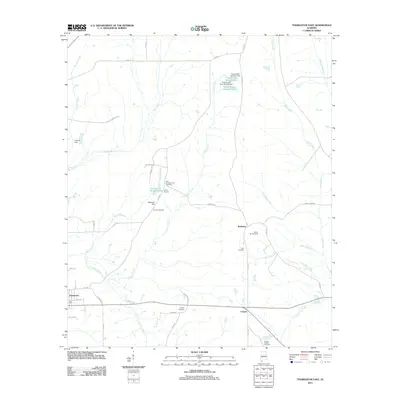 2011 Thomaston East2011 Print · USGSCovers Thomaston, including Consul, McKinley, and other nearby areas
 - 2011 Map of Thomaston West, 2011 Print
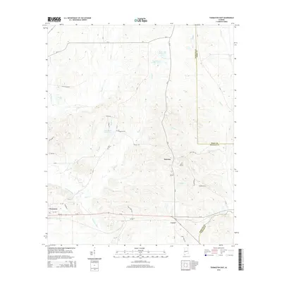
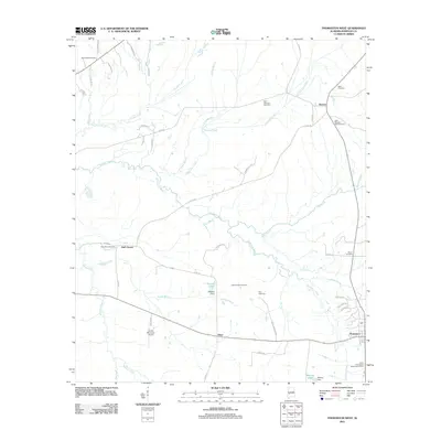 2011 Thomaston West2011 Print · USGSCovers Thomaston, including Dayton, Half Chance, and other nearby areas
 - 2014 Map of Thomaston West, 2014 Print
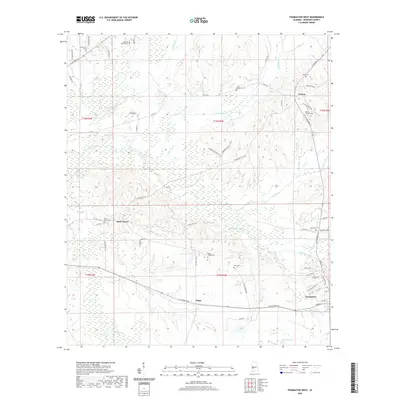
 2014 Thomaston West2014 Print · USGSCovers Thomaston, including Dayton, Half Chance, and other nearby areas
 - 2014 Map of Thomaston East, 2014 Print
 2014 Thomaston East2014 Print · USGSCovers Thomaston, including Consul, McKinley, and other nearby areas
 - 2018 Map of Thomaston West, 2018 Print
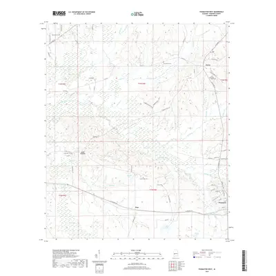 2018 Thomaston West2018 Print · USGSCovers Thomaston, including Dayton, Half Chance, and other nearby areas
 - 2018 Map of Thomaston East, 2018 Print
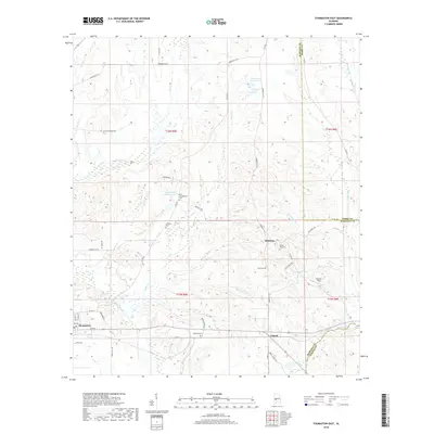 2018 Thomaston East2018 Print · USGSCovers Thomaston, including Consul, McKinley, and other nearby areas
 - 2020 Map of Thomaston East, 2020 Print
 2020 Thomaston East2020 Print · USGSCovers Thomaston, including Consul, McKinley, and other nearby areas
 - 2020 Map of Thomaston West, 2020 Print
 2020 Thomaston West2020 Print · USGSCovers Thomaston, including Dayton, Half Chance, and other nearby areas
 - 2024 Map of Thomaston East, 2024 Print
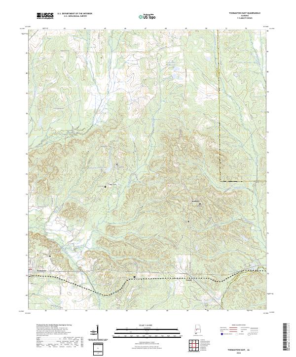 2024 Thomaston East2024 Print · USGSMarengo County life in the Alabama Black Belt is captured here in the contemporary era. Genealogists and historians can trace family roots through numerous rural burial grounds like Bethel Hill Cem and Glovers Cem or locate the Faircloth Plantation.
 - 2024 Map of Thomaston West, 2024 Print
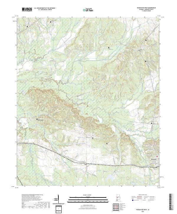 2024 Thomaston West2024 Print · USGSMarengo County's rural heartland is preserved here in the modern era, showing a landscape defined by creek bottoms and historic crossroads. Genealogists can trace family roots through numerous burial sites like Quinney Family Cem or locate old settlements at Half Chance and Hugo.
End of results
Showing maps 1-16 of 16
Top cities near Thomaston
- Demopolis historical maps
- Uniontown historical maps
- Linden historical maps
- Sweet Water historical maps
- Providence historical maps
- Faunsdale historical maps
See more
Frequently asked questions
- What are the different types of historical maps available for Thomaston?
- What is the oldest map of Thomaston?
- Where can I purchase historical maps of Thomaston for my home or office?
- Where can I download high-res historical maps of Thomaston?
- Are there historical topographic maps available for Thomaston?
- Is there historical aerial imagery available for Thomaston?
- Where are historical maps of Thomaston sourced from?