2020s Maps of Marion County, Alabama
Explore 36 historic maps of Marion County from the 2020s. These maps offer a rare glimpse into what life looked like during the 2020s — showing old roads, neighborhoods, homes, and landmarks that have changed or disappeared over time.
Whether you're researching your family's past, planning a metal detecting trip, or studying how Marion County's landscape evolved across the 2020s, these high-resolution maps are a powerful tool for exploring the history of this region.
- Focus on a specific era: All maps on this page are from the 2020s, giving you a focused view of this time period.
- See what’s changed: Compare century-old streets, trails, and buildings to today's modern landscape using overlays and satellite layers.
- Research with precision: Use these maps for genealogy, historical research, land use analysis, or educational projects.
- View, download, or print: Maps are fully viewable online in high resolution, and can be downloaded or printed for your own records.
Start exploring Marion County's history through authentic maps from the 2020s. This is your window into the past.
Marion County, AL maps
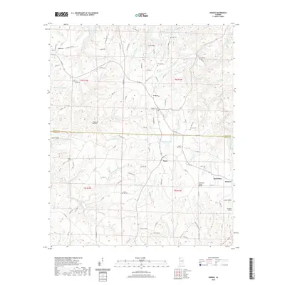
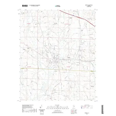
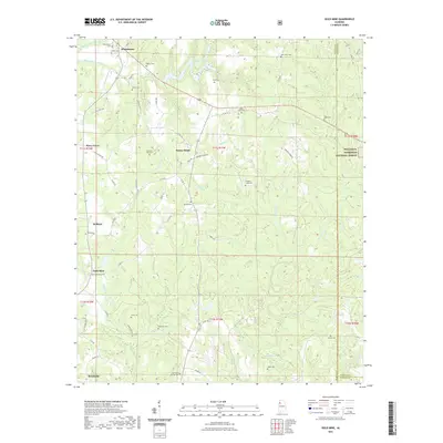
(36)- 2020 Map of Bexar, 2020 Print
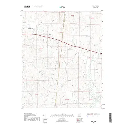 2020 Bexar2020 Print · USGSCovers Marion County, including Tremont, Bexar, and other nearby areas
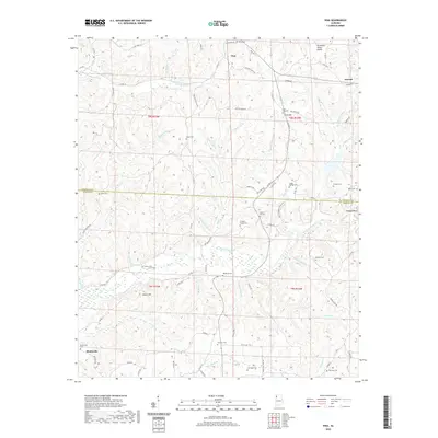
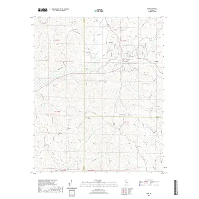
 - 2020 Map of Weston, 2020 Print
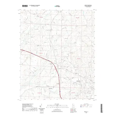 2020 Weston2020 Print · USGSCovers Marion County, including Hamilton, Barnesville, and other nearby areas
 - 2020 Map of Henson Springs, 2020 Print
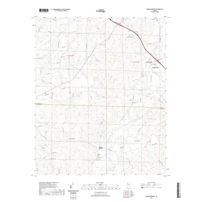 2020 Henson Springs2020 Print · USGSCovers Marion County, including Hamilton, Fulton Bridge, and other nearby areas
 - 2020 Map of Detroit, 2020 Print
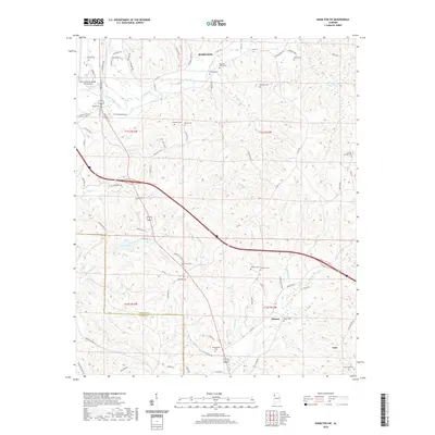
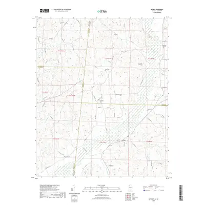 2020 Detroit2020 Print · USGSCovers Marion County, including Detroit, Byrd, and other nearby areas
 - 2020 Map of Shottsville, 2020 Print
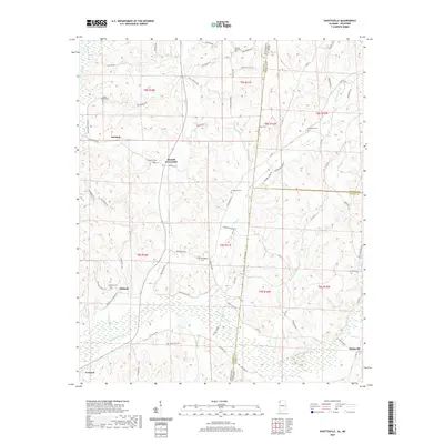 2020 Shottsville2020 Print · USGSCovers Marion County, including Tremont, Oakland, and other nearby areas
 - 2020 Map of Vina, 2020 Print
 2020 Vina2020 Print · USGSCovers Marion County, including Vina, Franklin County, and other nearby areas
 - 2020 Map of Hodges, 2020 Print
 2020 Hodges2020 Print · USGSCovers Marion County, including Hackleburg, Hodges, and other nearby areas
 - 2020 Map of Glen Allen, 2020 Print
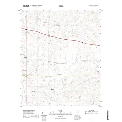 2020 Glen Allen2020 Print · USGSCovers Marion County, including Winfield, Glen Allen, and other nearby areas
 - 2020 Map of Winfield, 2020 Print
 2020 Winfield2020 Print · USGSCovers Marion County, including Winfield, Guin, and other nearby areas
 - 2020 Map of Guin, 2020 Print
 2020 Guin2020 Print · USGSCovers Marion County, including Guin, Gu-Win, and other nearby areas
 - 2020 Map of Hamilton, 2020 Print
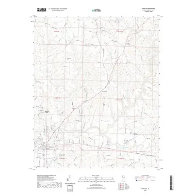 2020 Hamilton2020 Print · USGSCovers Marion County, including Hamilton, Pleasant Ridge, and other nearby areas
 - 2020 Map of Hamilton NE, 2020 Print
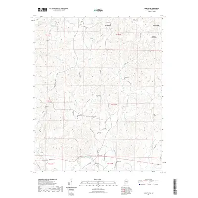 2020 Hamilton NE2020 Print · USGSCovers Marion County, including Hackleburg, Bear Creek, and other nearby areas
 - 2020 Map of Hamilton SW, 2020 Print
 2020 Hamilton SW2020 Print · USGSCovers Marion County, including Hamilton, Guin, and other nearby areas
 - 2020 Map of Hackleburg, 2020 Print
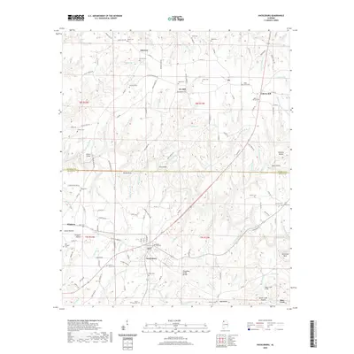 2020 Hackleburg2020 Print · USGSCovers Marion County, including Hackleburg, Bear Creek, and other nearby areas
 - 2020 Map of Brilliant, 2020 Print
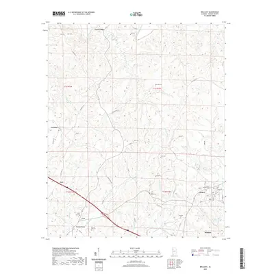 2020 Brilliant2020 Print · USGSCovers Marion County, including Winfield, Guin, and other nearby areas
 - 2020 Map of Phil Campbell, 2020 Print
 2020 Phil Campbell2020 Print · USGSCovers Marion County, including Haleyville, Bear Creek, and other nearby areas
 - 2021 Map of Gold Mine, 2021 Print
 2021 Gold Mine2021 Print · USGSCovers Marion County, including Brilliant, Whitehouse, and other nearby areas
 - 2021 Map of Haleyville West, 2021 Print
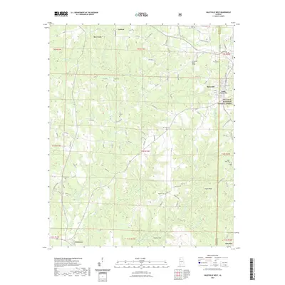 2021 Haleyville West2021 Print · USGSCovers Marion County, including Haleyville, Bear Creek, and other nearby areas
 - 2024 Map of Bexar, 2024 Print
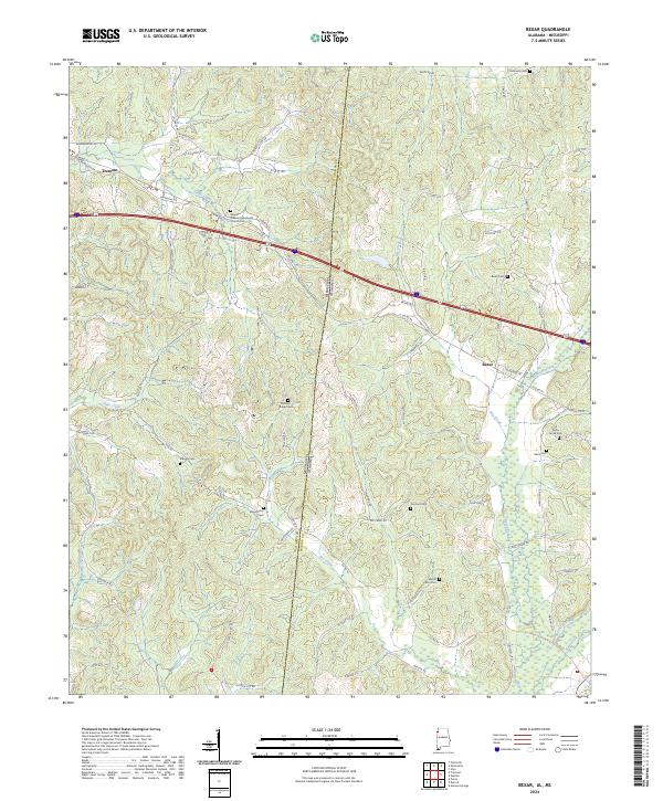 2024 Bexar2024 Print · USGSStaddling the Alabama and Mississippi border in the 2020s, this area showcases the rural connection between Bexar and Tremont. Genealogists can trace family footprints across numerous sites like Concord Cem and Stevens Cem along the Sipsey Creek valley.
 - 2024 Map of Detroit, 2024 Print
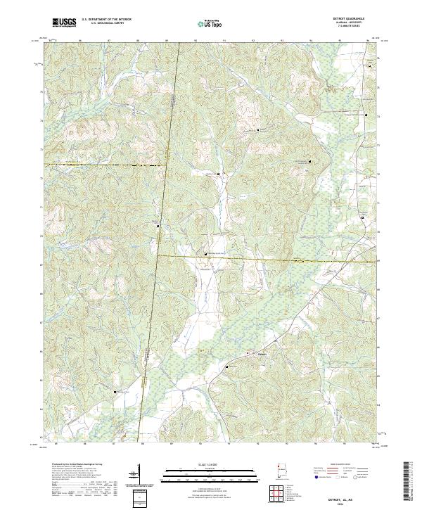 2024 Detroit2024 Print · USGSThe rural borderlands of Alabama and Mississippi are captured here in the contemporary era, centered on the settlement of Detroit. Genealogists can trace family heritage through numerous burial sites like Carter Cem, Shelton Cem, and Riggins Cem.
 - 2024 Map of Shottsville, 2024 Print
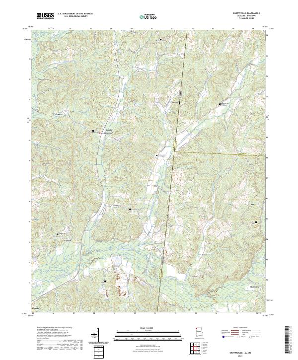 2024 Shottsville2024 Print · USGSModern Marion County and the Mississippi borderlands come to life here, showing the enduring rural network of Alabama's northwest corner. Researchers can trace family history through a dozen burial sites like Spearman Cem and Donham Cem near Shottsville.
 - 2024 Map of Phil Campbell, 2024 Print
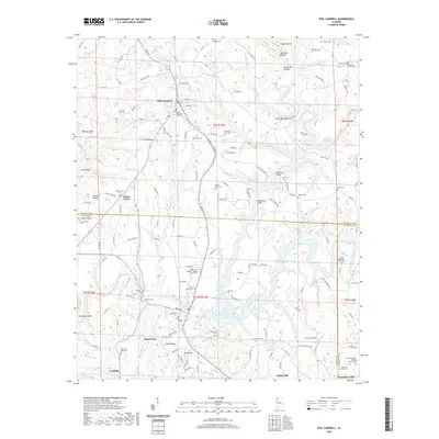
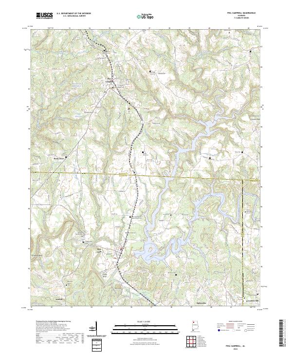 2024 Phil Campbell2024 Print · USGSThe town of Phil Campbell and the surrounding hills are captured in this recent survey of the Franklin and Marion County border. Genealogists can trace family sites at Old Zion Factory Cem, Mountain Home Cem, and Shady Grove.
 - 2024 Map of Hamilton, 2024 Print
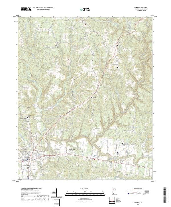 2024 Hamilton2024 Print · USGSHamilton and the surrounding Marion County hills are shown in detail during the early 2020s, revealing a landscape deeply rooted in local history. Genealogists can locate family burial sites like Shiloh Cem and Streetman Cem or trace the path of 1st Military Rd near the Buttahatchee River.
 - 2024 Map of Hamilton NE, 2024 Print
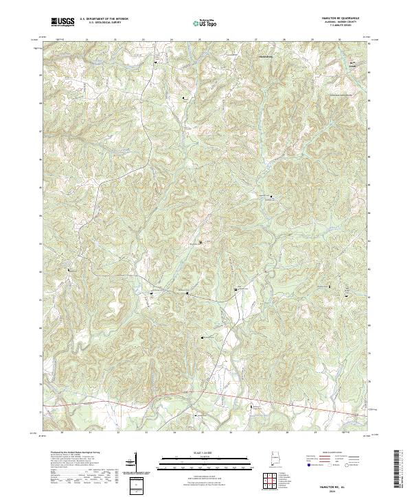 2024 Hamilton NE2024 Print · USGSMarion County's upland landscape is captured here in the contemporary era, centered on the Tennessee Valley Divide. Researchers can trace local lineage across numerous rural burial sites like Veto Burleson Cem, Old Bethel Cem, and Armstrong Cem.
 - 2024 Map of Weston, 2024 Print
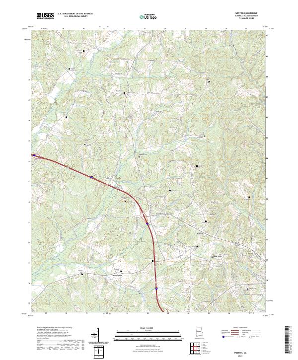 2024 Weston2024 Print · USGSMarion County's northern hills and the outskirts of Hamilton are captured here in the contemporary era. Researchers can trace ancestral sites across a landscape dotted with family landmarks like the Lockridge Family Cem and Bethlehem Cem.
Showing maps 1-25 of 36
Top cities of Marion County
- Hamilton historical maps
- Guin historical maps
- Hackleburg historical maps
- Bear Creek historical maps
- Brilliant historical maps
- Twin historical maps
See more
Frequently asked questions
- What are the different types of historical maps available for Marion County?
- What is the oldest map of Marion County?
- Where can I purchase historical maps of Marion County for my home or office?
- Where can I download high-res historical maps of Marion County?
- Are there historical topographic maps available for Marion County?
- Is there historical aerial imagery available for Marion County?
- Where are historical maps of Marion County sourced from?