Old Maps of Grant, Alabama for Hiking & Exploration
Hike through history with 38 historic maps of Grant. Explore old trails, ghost towns, and forgotten backroads — perfect for outdoor adventurers and local explorers.
- Rediscover forgotten places: Map out old mining camps, roads, and footpaths that no longer exist on modern maps.
- Layer with modern tools: Combine with LiDAR or satellite views to plan hikes through historical terrain.
- Made for exploration: Popular among hikers, overlanders, and local history lovers.
Use these maps to find adventure and explore the hidden past of Grant.
Grant, AL maps
(38)- 1885 Map of Gadsden
 1885 Gadsden1885 Print · USGSNortheast Alabama in the mid-1880s was a landscape of river-side landings and emerging rail towns. Genealogists and historians can trace the early foundations of Guntersville and Gadsden while locating rural landmarks like Hillian Store, Cottonville, and Law Landing.
 - 1888 Map of Gadsden
 1888 Gadsden1888 Print · USGSNorth Alabama's river valleys and plateau lands are captured here in the late nineteenth century as the region transitioned from river landings to rail transport. Researchers can locate early post offices and commerce centers like Hillian's Store, Guntersville, and the ferry at Ft Deposit.
 - 1888 Map of Scottsboro
 1888 Scottsboro1888 Print · USGSNortheast Alabama is shown in the late nineteenth century as a land of steep plateaus and vital river crossings. Genealogists and researchers can trace the early rail-and-river economy through family landmarks like Caldwell's Ferry and the Bell Factory textile site.
 - 1892 Map of Scottsboro
 1892 Scottsboro1892 Print · USGSJackson County and the Tennessee River valley are captured here in the late nineteenth century, just as railroads began to reshape local commerce. Genealogists can trace family-named sites like Owen's Cross Roads, Carrick Mill, and Larkin Landing.5 unique versions available
 - 1892 Map of Gadsden
 1892 Gadsden1892 Print · USGSNorth Alabama's river-and-rail economy is captured here in the late nineteenth century as Guntersville and Gadsden emerge as regional hubs. Genealogists and historians can trace the routes of the Birmingham Mineral R. R. or locate old community centers like Cottonville and Mt Zion.
 - 1895 Map of Gadsden
 1895 Gadsden1895 Print · USGSNortheast Alabama at the close of the century was a landscape of river landings and mountain gaps where the Tennessee River met growing rail hubs. Genealogists can trace family holdings near Hillian Store, Cottonville, and the remote heights of Lookout Mountain.
 - 1903 Map of Gadsden
 1903 Gadsden1903 Print · USGSNorthern Alabama in the late nineteenth century centers on the busy Tennessee River corridor and its surrounding ridges. Trace old family sites and transport hubs like Hillian Store, Lovelace Landing, and the Mt Zion church.4 unique versions available
 - 1936 Map of Grant
 1936 Grant1936 Print · USGSAs the mid-1930s brought the Tennessee Valley Authority to Marshall County, this area balanced its mountain heritage with new river developments. Genealogists and researchers can trace family landmarks like Butlers Mill, Fishtrap Ford, and the DAR Sch.
 - 1936 Map of Mt Carmel
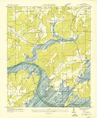 1936 Mt Carmel1936 Print · USGSMarshall County is caught in a moment of transformation in the mid-1930s as the Tennessee River begins its change into a massive reservoir. Genealogists can trace family footprints at Cem Manchester, Simpson Point Ch, and the Claysville School.
 - 1936 Map of Swearengin
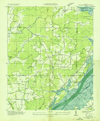 1936 Swearengin1936 Print · USGSMarshall and Jackson counties appear here just as the Tennessee Valley Authority began transforming the region in the mid-1930s. Genealogists and historians can trace family locations through sites like Old Barclay Mill, the State Prison Camp C, and the Zions Rest Cem before the reservoir waters rose.
 - 1947 Map of Grant, 1970 Print
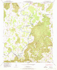 1947 Grant1970 Print · USGSNortheastern Alabama’s river valleys and mountain ridges are captured here just after the war, showing the rural landscape where three counties meet. Genealogists can trace family landmarks like Keel Cem, Butler Mill, and the many river crossings including Hellum Ford.4 unique versions available
 - 1947 Map of Swearengin, 1972 Print
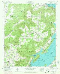 1947 Swearengin1972 Print · USGSNortheast Alabama's river-cut plateau comes into focus here just after the mid-century, showing the rugged intersection of Guntersville Lake and the mountain coves. Genealogists and hikers can trace the rural landscape of Swearengin, from the depths of Cathedral Caverns to Zions Rest Cem.2 unique versions available
 - 1948 Map of Mt Carmel, 1971 Print
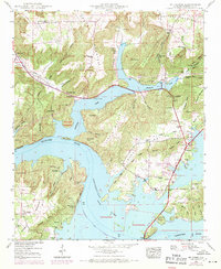 1948 Mt Carmel1971 Print · USGSThe Tennessee River valley in Alabama comes alive in this post-war survey of the newly formed reservoir landscape. Trace the evolution of the shoreline near Cottonville and Seibold or locate old family sites like Abel Cem and Henryville Cem.3 unique versions available
 - 1950 Map of Swearengin
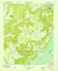 1950 Swearengin1950 Print · USGSNortheast Alabama hill country meets the Tennessee River in the late 1940s, showing a landscape defined by mountain coves and the backwaters of the reservoir. Researchers can locate family landmarks like Zions Rest Cem, New Prospect School, and the scattered homes of Swearengin.2 unique versions available
 - 1950 Map of Mt Carmel
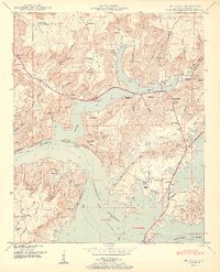 1950 Mt Carmel1950 Print · USGSIn the decade following the reservoir's creation, this Marshall County landscape shows a mix of riverside settlements and steep mountain ridges. Genealogists and researchers can locate family sites like Henryville, Manchester, and Baker Chapel, or trace the old N C & St L Ry Ferry route.2 unique versions available
 - 1950 Map of Grant
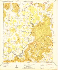 1950 Grant1950 Print · USGSNortheast Alabama at mid-century shows a landscape of river-valley farms and steep ridges at the intersection of three counties. Trace old river crossings at Helium Ford and Fishtrap Ford, or locate family landmarks like Poplar Ridge, Butler Mill, and the D A R Sch.2 unique versions available
 - 1956 Map of Gadsden, 1966 Print
 1956 Gadsden1966 Print · USGSNorth Alabama in the mid-1950s shows a region transformed by river engineering and federal industry. Genealogists and local historians can trace the development of the Tennessee Valley through the growth of Huntsville, the sprawling Redstone Arsenal, and the expansive Guntersville Lake.3 unique versions available
 - 1958 Map of Gadsden
 1958 Gadsden1958 Print · USGSNorth Alabama comes alive in the late 1950s as the Tennessee Valley Authority’s massive river projects and the rise of the space industry reshaped the landscape. Researchers can trace the mid-century footprints of Huntsville, Redstone Arsenal, and the riverside rail networks of the Southern railroad.
 - 1960 Map of Gadsden
 1960 Gadsden1960 Print · USGSNorthern Alabama in the mid-1950s is defined by the mighty Tennessee River and its massive reservoirs. Trace the development of Huntsville and Redstone Arsenal or explore the vast William B Bankhead National Forest.2 unique versions available
 - 1963 Map of Gadsden
 1963 Gadsden1963 Print · USGSNorthern Alabama underwent a dramatic mid-century transformation as the Tennessee Valley became a hub for defense and industry. Researchers can trace the development of the Redstone Arsenal, the route of the Natchez Trace Parkway, and long-standing rail lines like the Southern Railway.
 - 1984 Map of Mt Carmel
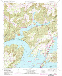 1984 Mt Carmel1984 Print · USGSThe Tennessee River valley in the early eighties shows a landscape of deep ridges and rising lake waters. Genealogists can trace family roots through numerous local burial sites like Henryville Cem and rural landmarks such as Noahs Ark and Claysville.
 - 1984 Map of Guntersville, 1985 Print
 1984 Guntersville1985 Print · USGSNorthern Alabama at the start of the eighties shows a landscape shaped by massive TVA impoundments and a robust rail network. Genealogists and historians can trace family land across Brindley Mountain or near old rail stops on the Louisville and Nashville RR and Southern Ry.2 unique versions available
 - 1984 Map of Huntsville, 1986 Print
 1984 Huntsville1986 Print · USGSNorthern Alabama and the Tennessee borderlands are captured in the mid-eighties as Huntsville and the Redstone Arsenal expand. Researchers can trace rural landmarks from Woodlin Mill to the Cumberland Plateau and old rail lines like the Southern.3 unique versions available
 - 2011 Map of Mount Carmel, 2011 Print
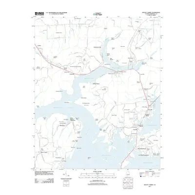 2011 Mount Carmel2011 Print · USGSThe Guntersville Lake shoreline and Tennessee River valley are shown here in the early twenty-first century as a network of residential waterfront developments. Researchers can locate numerous family burial grounds like Panquin Cemetery and Roden Cemetery or trace the geography of Cottonville and Henryville.
 - 2011 Map of Grant, 2011 Print
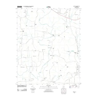 2011 Grant2011 Print · USGSMarshall County at the start of the twenty-first century reveals a landscape where deep-rooted family names still mark the mountains and hollows. Genealogists and hikers can trace historic river crossings like Fishtrap Ford and locate ancestral sites such as Ashburn Cemetery and the Grant Post Office.
Showing maps 1-25 of 38
Top cities near Grant
- Huntsville historical maps
- Albertville historical maps
- Scottsboro historical maps
- Guntersville historical maps
- Arab historical maps
- New Hope historical maps
See more
Frequently asked questions
- What are the different types of historical maps available for Grant?
- What is the oldest map of Grant?
- Where can I purchase historical maps of Grant for my home or office?
- Where can I download high-res historical maps of Grant?
- Are there historical topographic maps available for Grant?
- Is there historical aerial imagery available for Grant?
- Where are historical maps of Grant sourced from?